🅒 🅟 SUP-9 Lavanderas Colmenar Viejo, Madrid (Spain) 2005-2021 🅘 🅟🅡🅘🅩🅔 Collaborators: Desirée García, Claire Tournier, José Luis Pérez Marín, Élodie Rodriguez (architects); Manuel Pérez Marín (quantity surveyor); Ricardo Ugarte (biologist); Evaluación Ambiental (environmental consultant). WORK IN PROGRESS
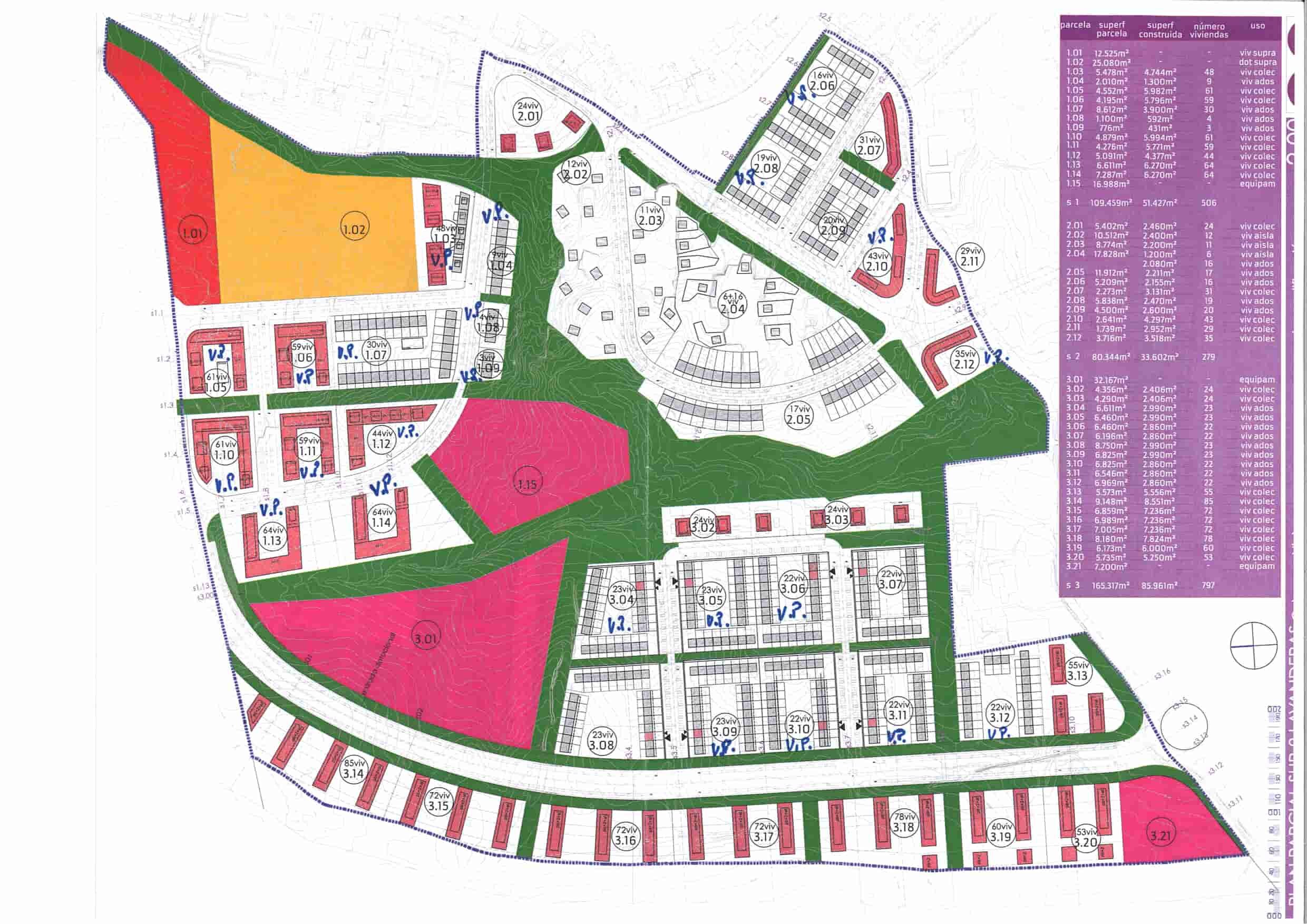
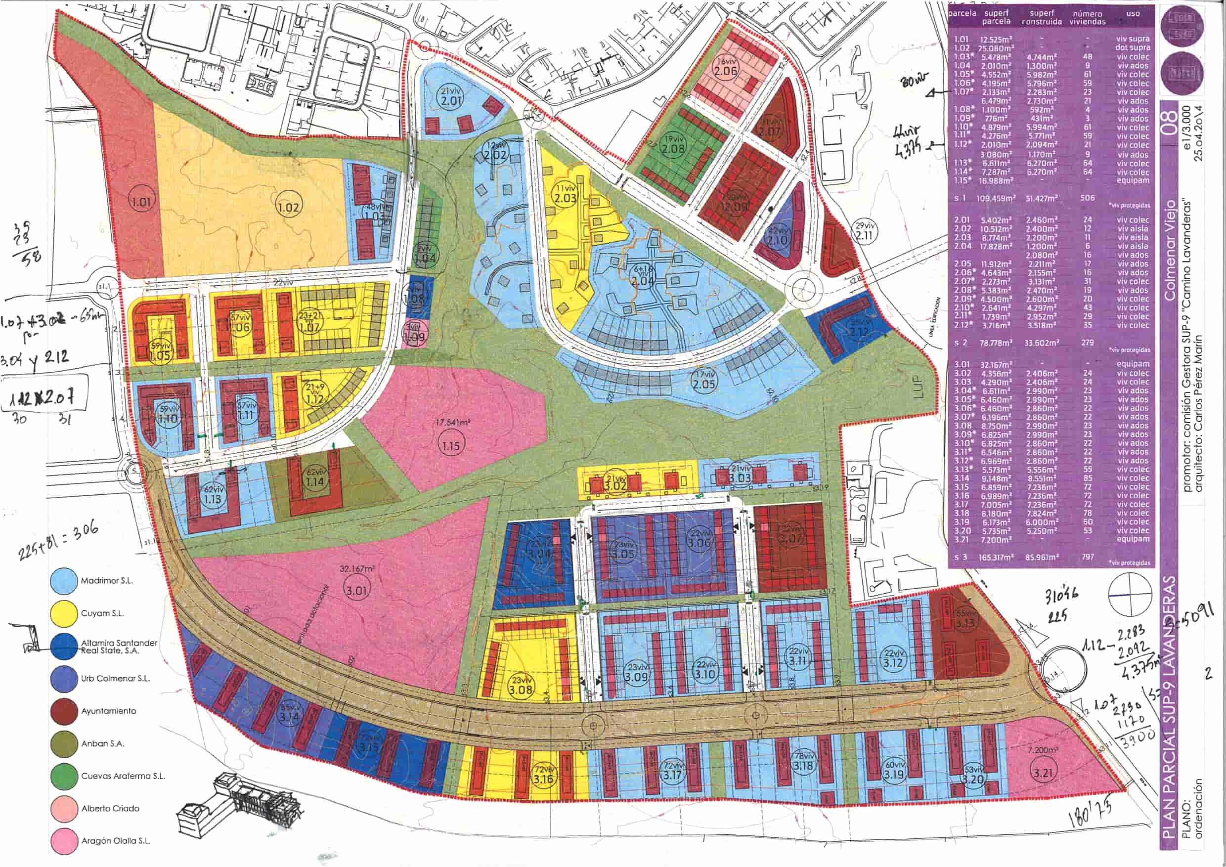
This is the story of the urban development of the Suelo Urbanizable Programado (SUP-9) Lavanderas in Colmenar Viejo, Madrid (Spain), with an area of 56.4 hectares, a buildable area of 192,551 m² and 1,781 dwellings (of which 55% have some kind of social protection). A projet we started in 2004 and that it is developed in phases. At present, the Delimitation of Public Networks has been modified (definitive approval) and the Partial Development Plan has been drawn up (initial approval). The Urban Development Project and Project Management will still be drafted.
. the beginnings
In November 2003 one of the landowners took us to see the sector to show us the land that he planned to develop. During the same visit, he warned us that he is not the only owner and that to work on that project, we would first have to win the private competition that he had agreed with the other owners with whom they constituted the majority (Madridano and Banús families). This contest took place in April 2005 and we won it.
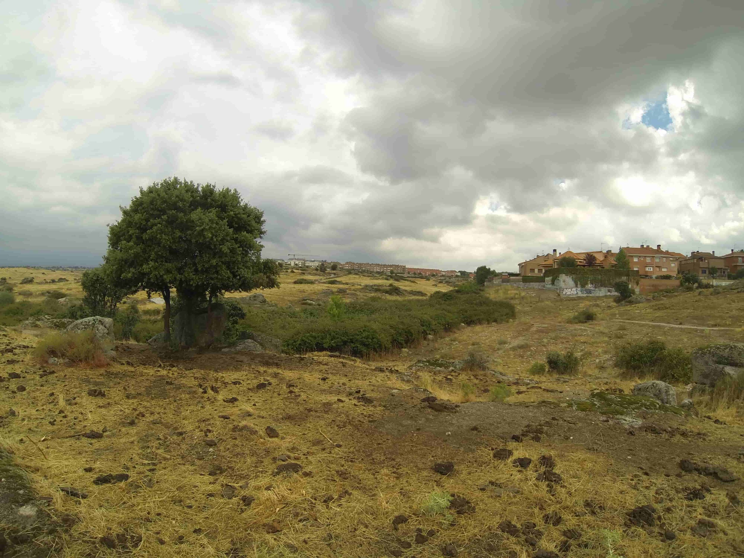
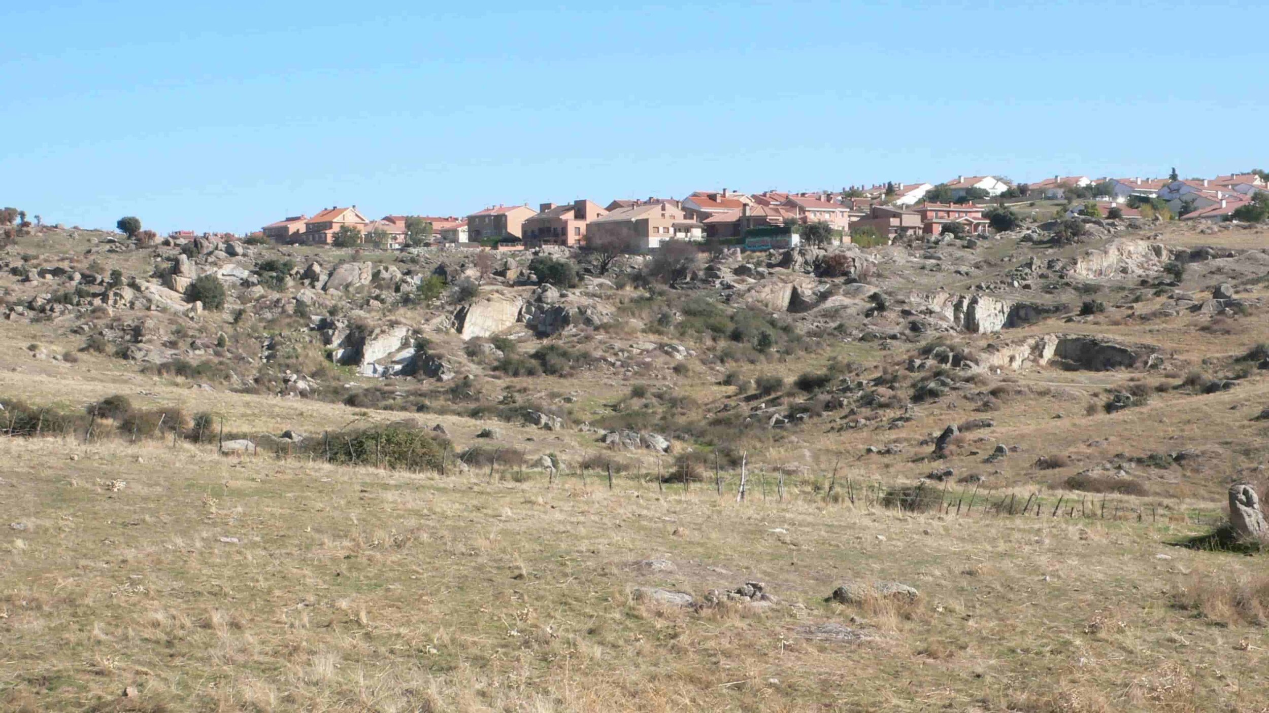
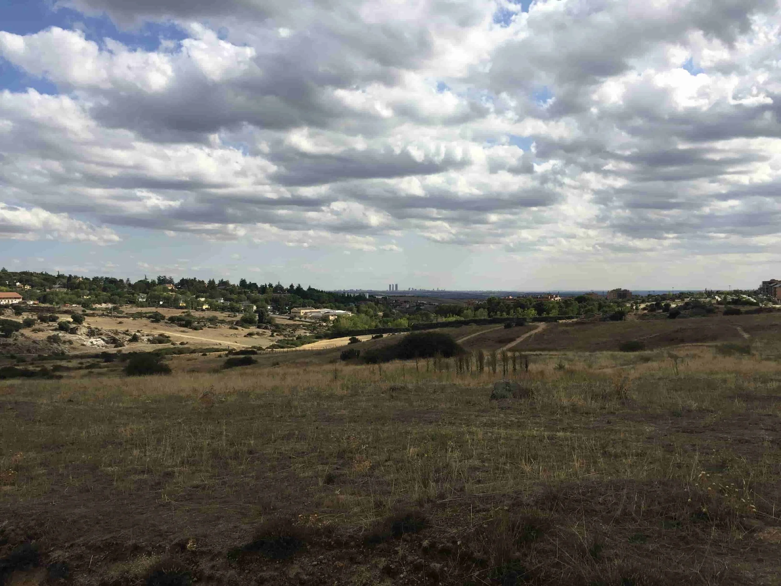
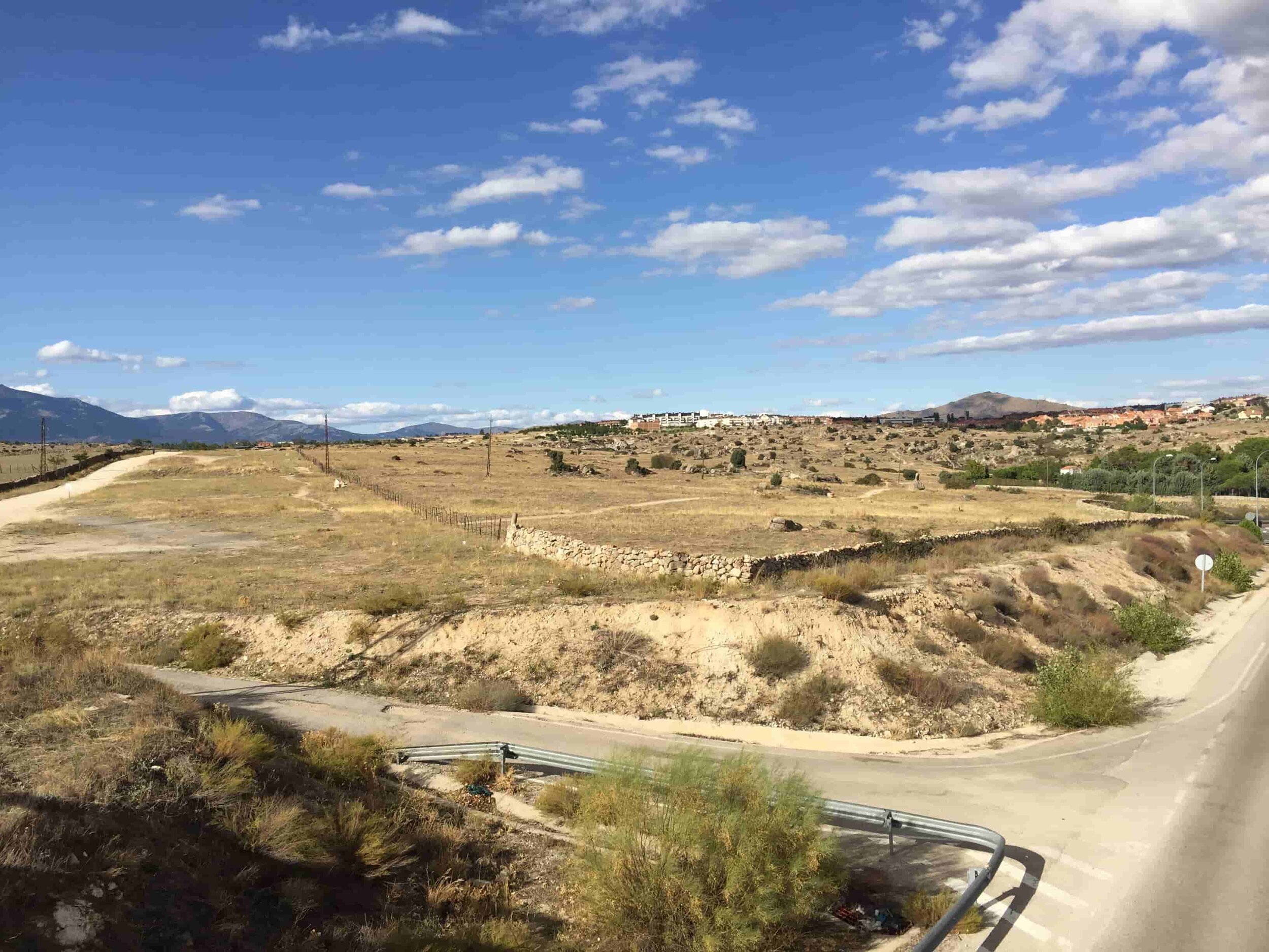
The same owner shared with us a series of reflections on the need to do things differently, among other things because he thought that the real estate sector was not going to be able to continue in the same way and that in a short time it would no longer be sell anything, it would no longer be enough to offer the same type of housing even improving the quality materials. But he was not referring only to the houses, he was talking about the need to provide the sector with quality public spaces, where it was pleasant to walk and be, that had an identity, that when someone walked there, they could realised they were in Colmenar Viejo and not in any urbanization on the outskirts of Madrid. He wanted the final image to be more similar to the San Crispín neighborhood, with its vegetation (despite being single-family homes), than to the tide of reddish roofs of the semi-detached houses that we see in the photo below. We did not only understand his reflections but we shared them.
We were talking about the end of 2003, before the 2008 crisis. During 2004 we got to work on the project.Every two months we came to Colmenar Viejo and we were able to see how the landscape changed during the seasons and how the inhabitants used or walked that space. After a year, we considered that we could begin to draw lines on a plan, at the same time we did not understand how it was possible that someone could have imagined an urban development for that sector in the way that they had drawn it in a Master Plan and in a Network System, probably because he has never been to see the terrain and its topography.
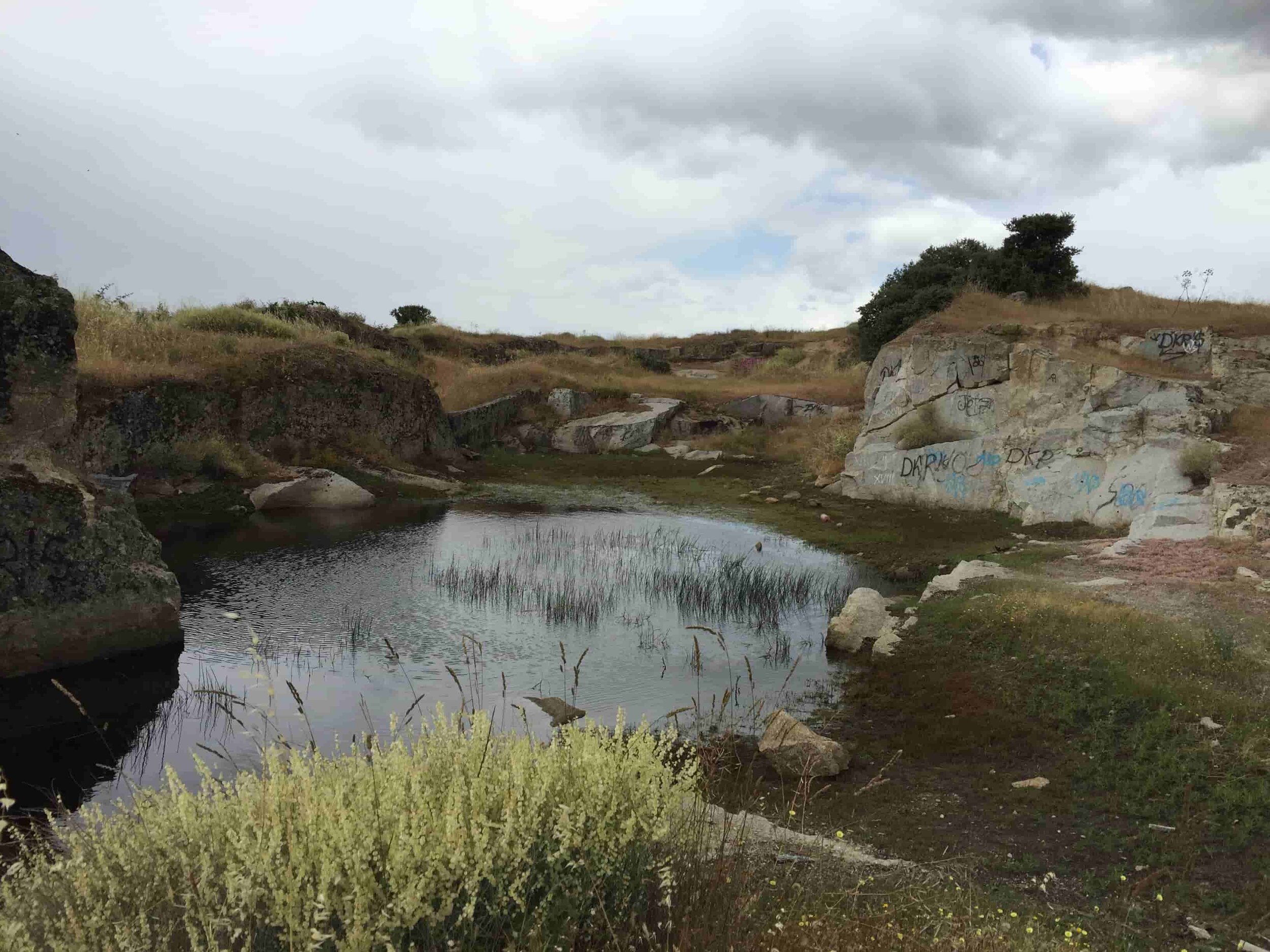
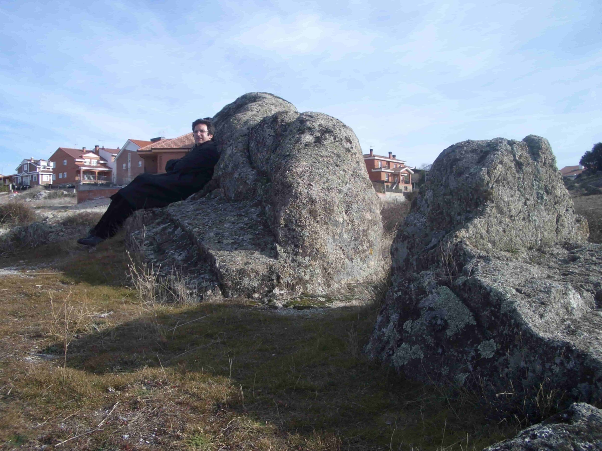
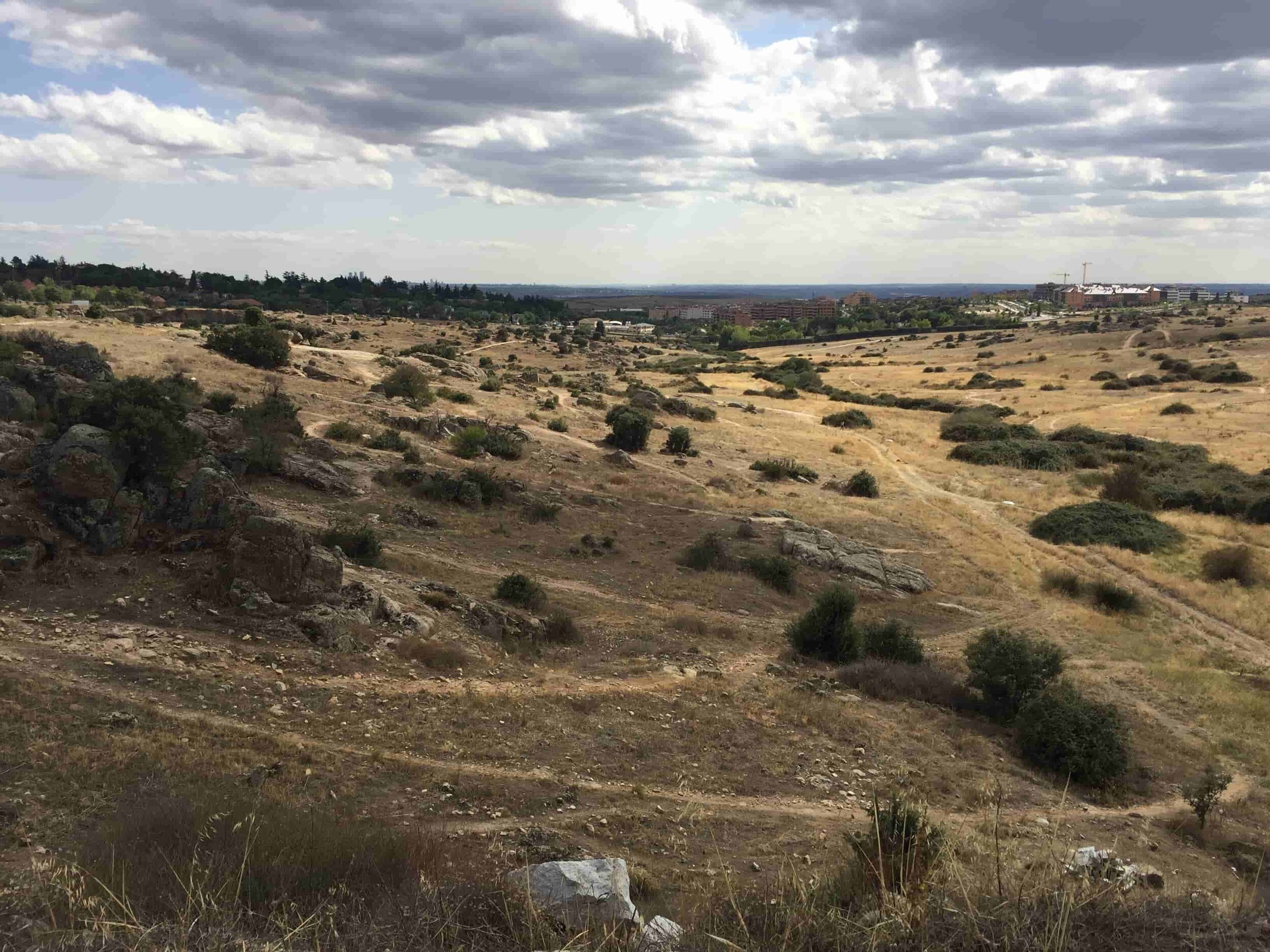
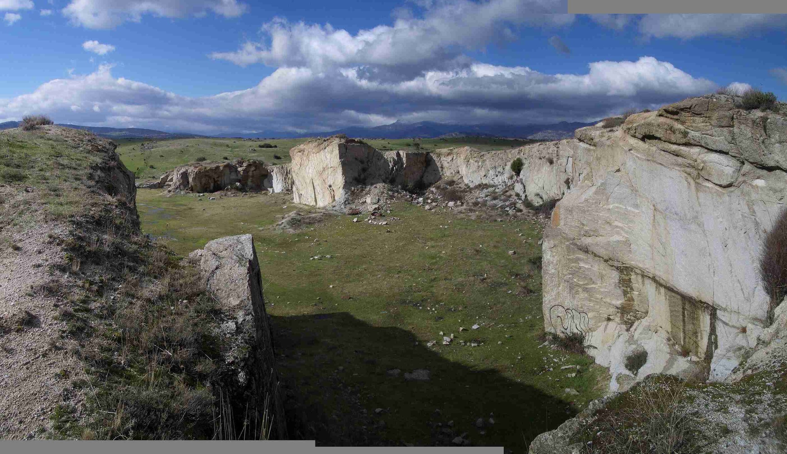
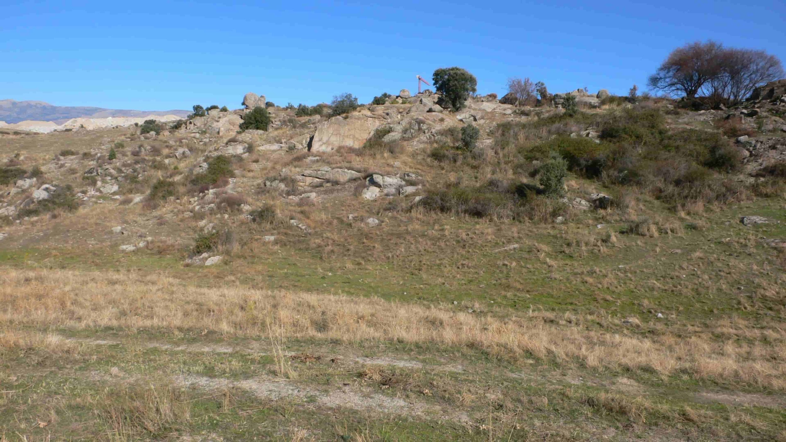
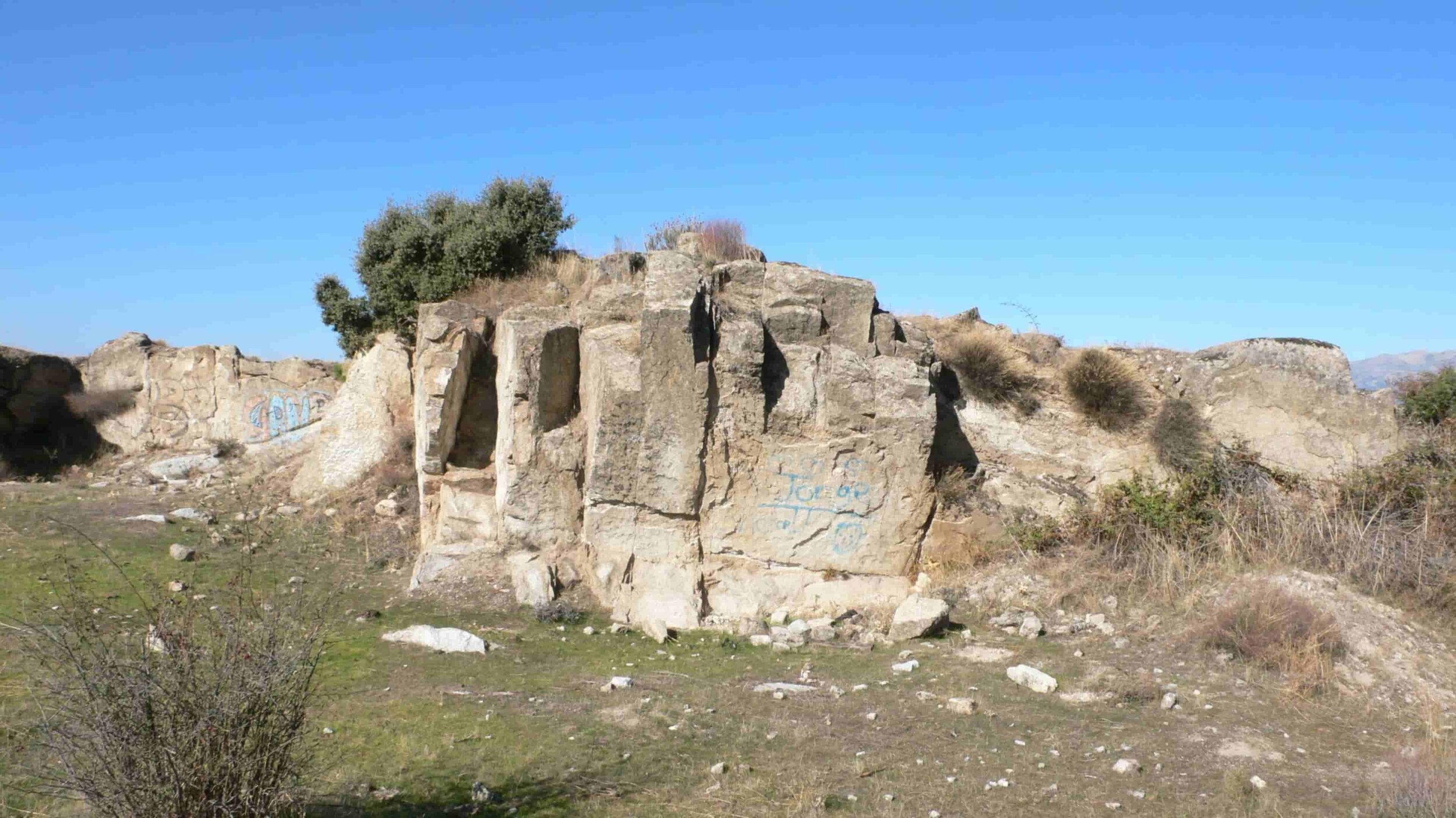
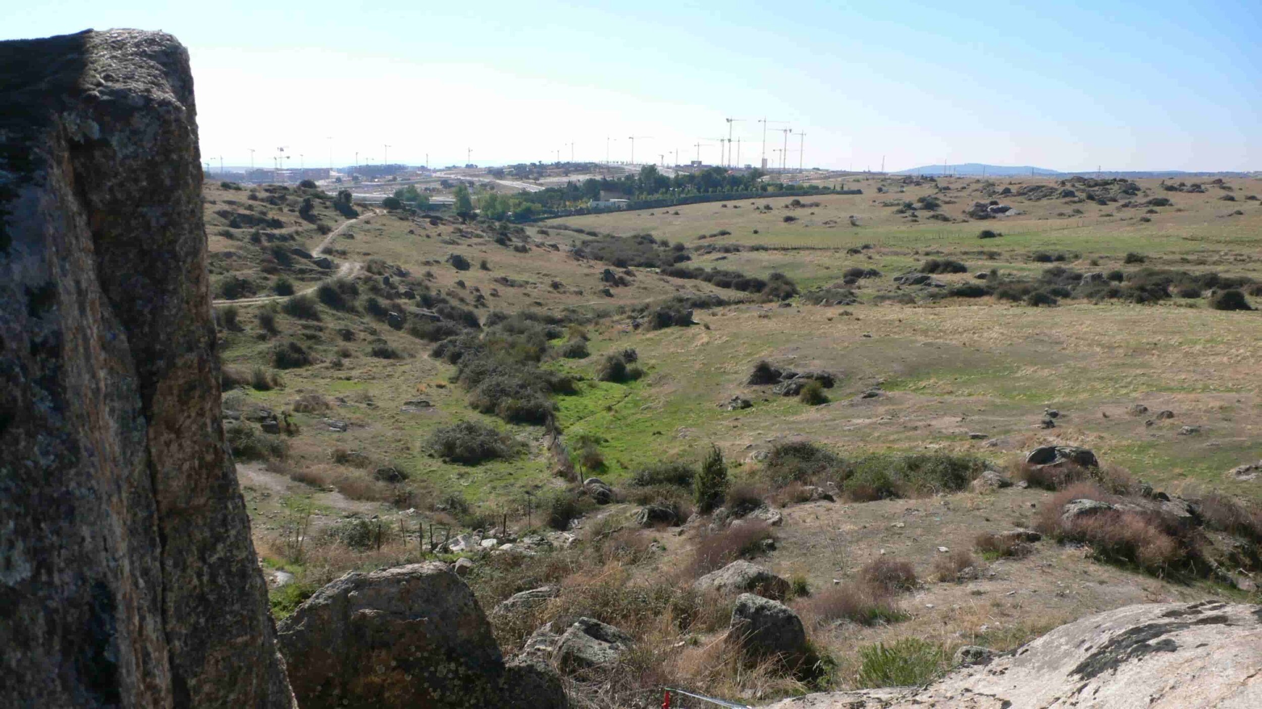
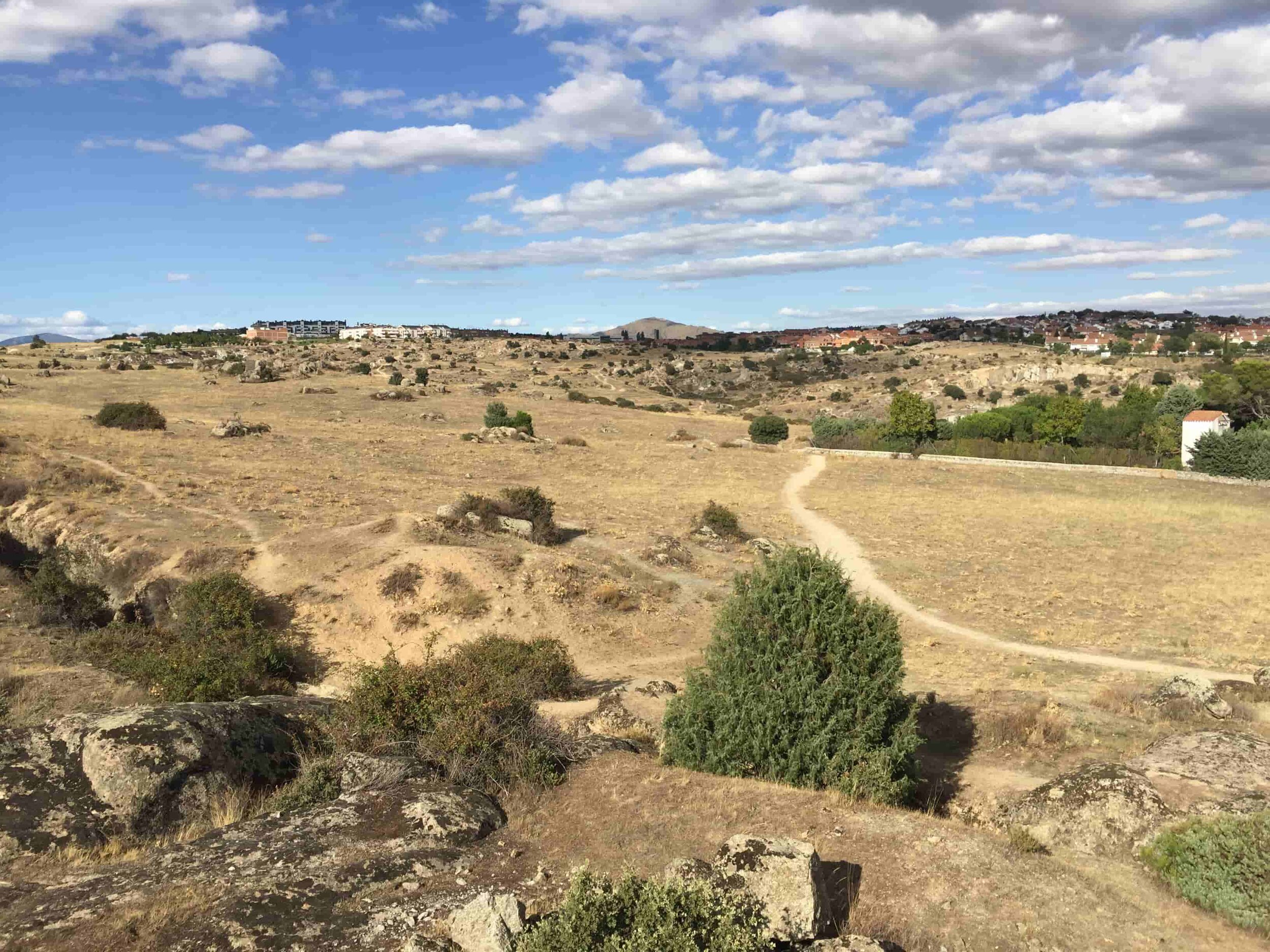
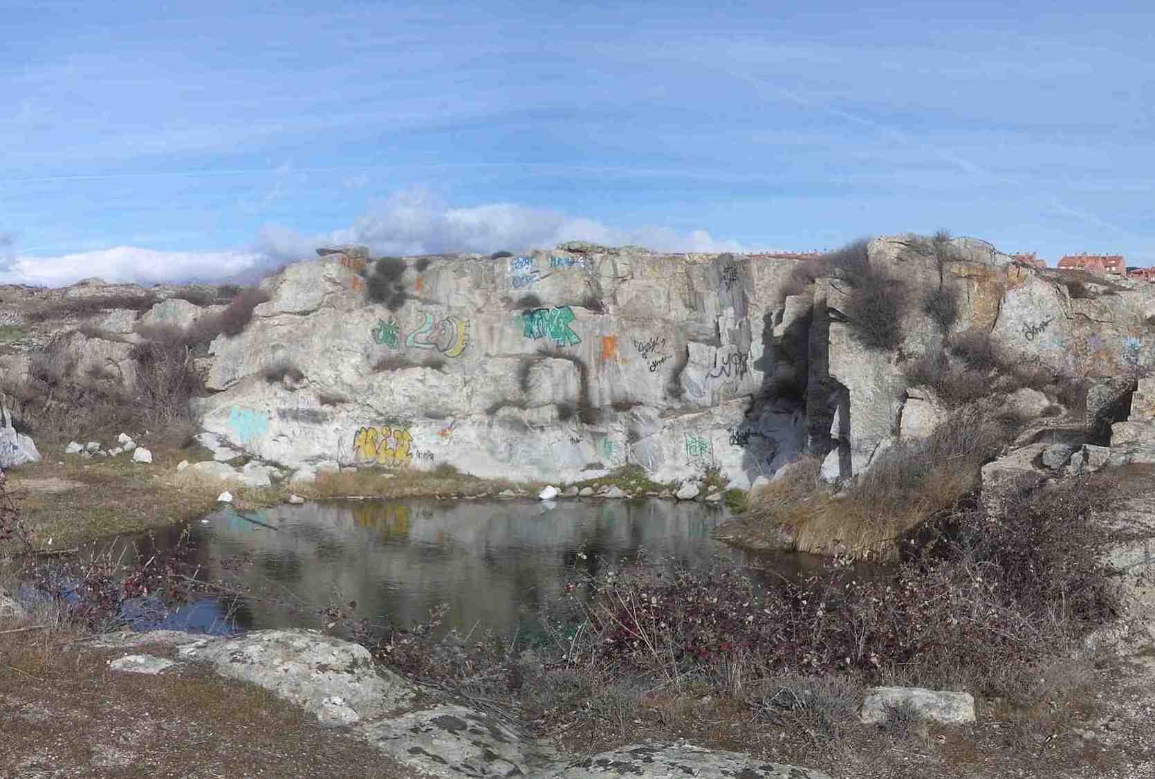
However, there was another element that deserved special attention due to the problems that it caused a priori: the granite.
. the competition
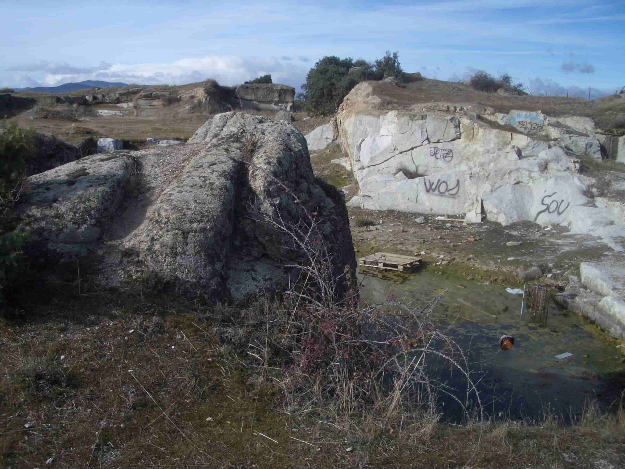
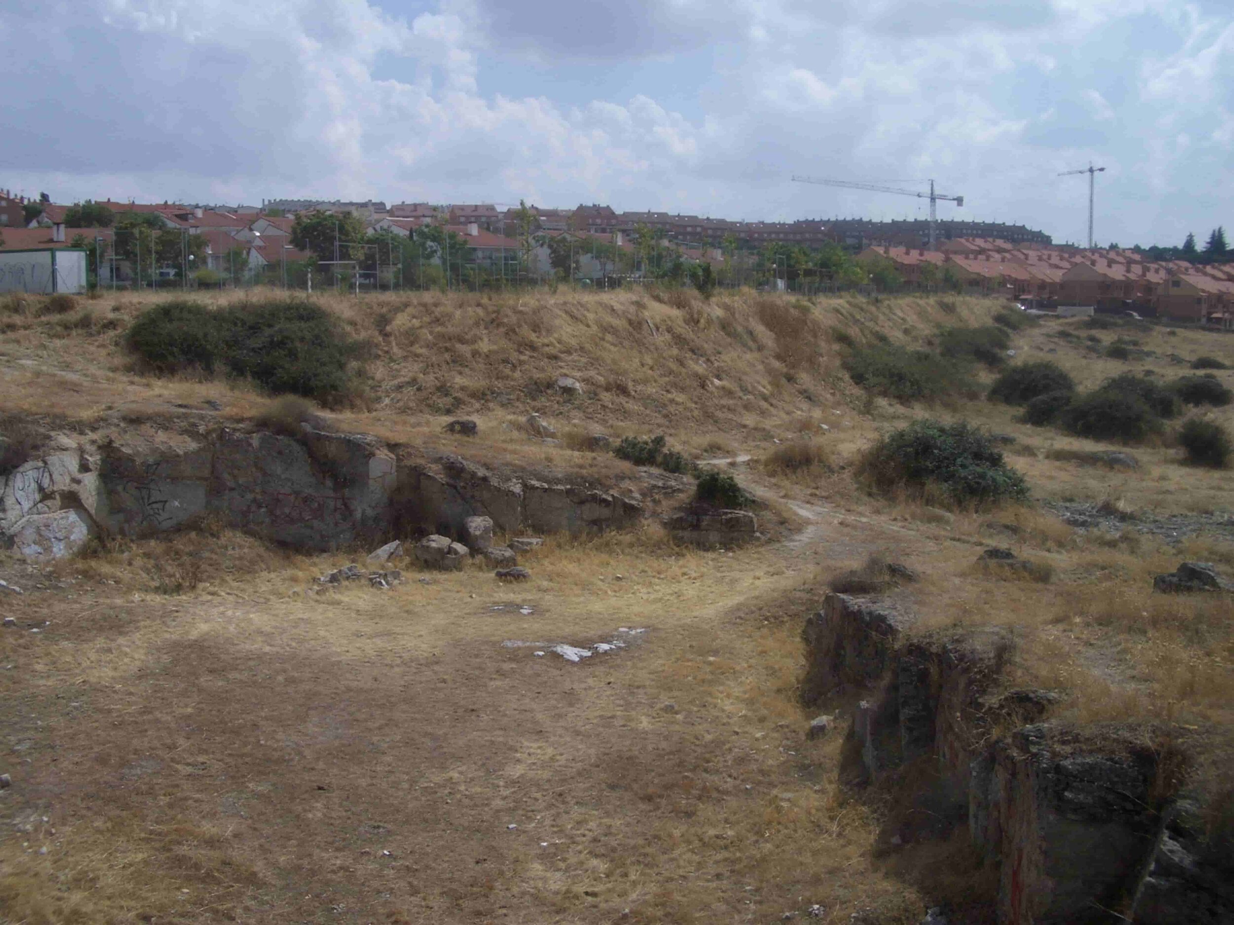
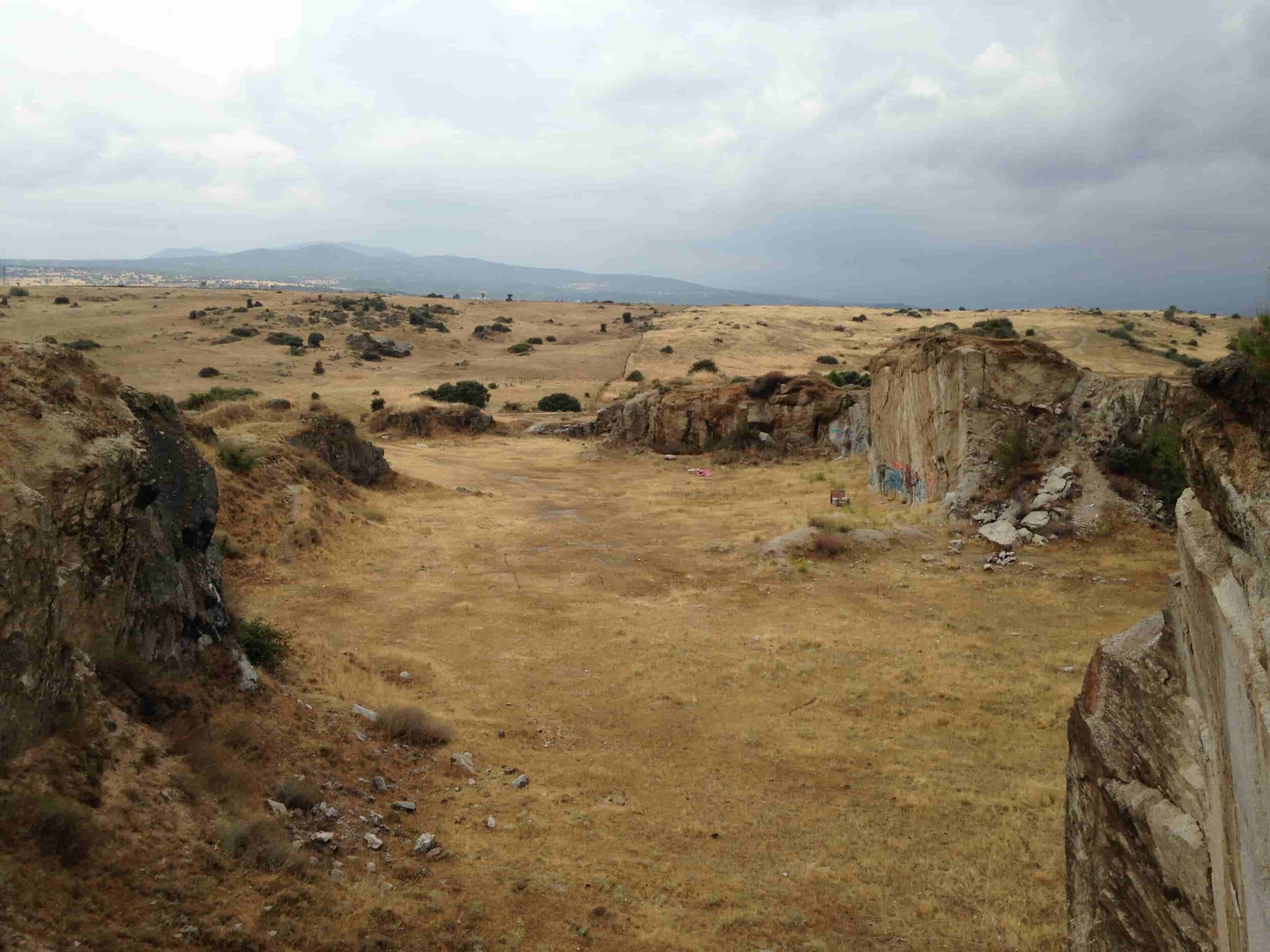
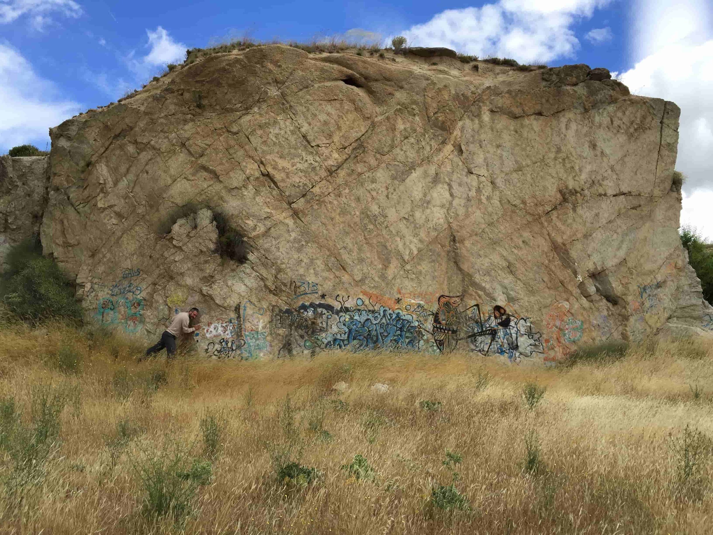
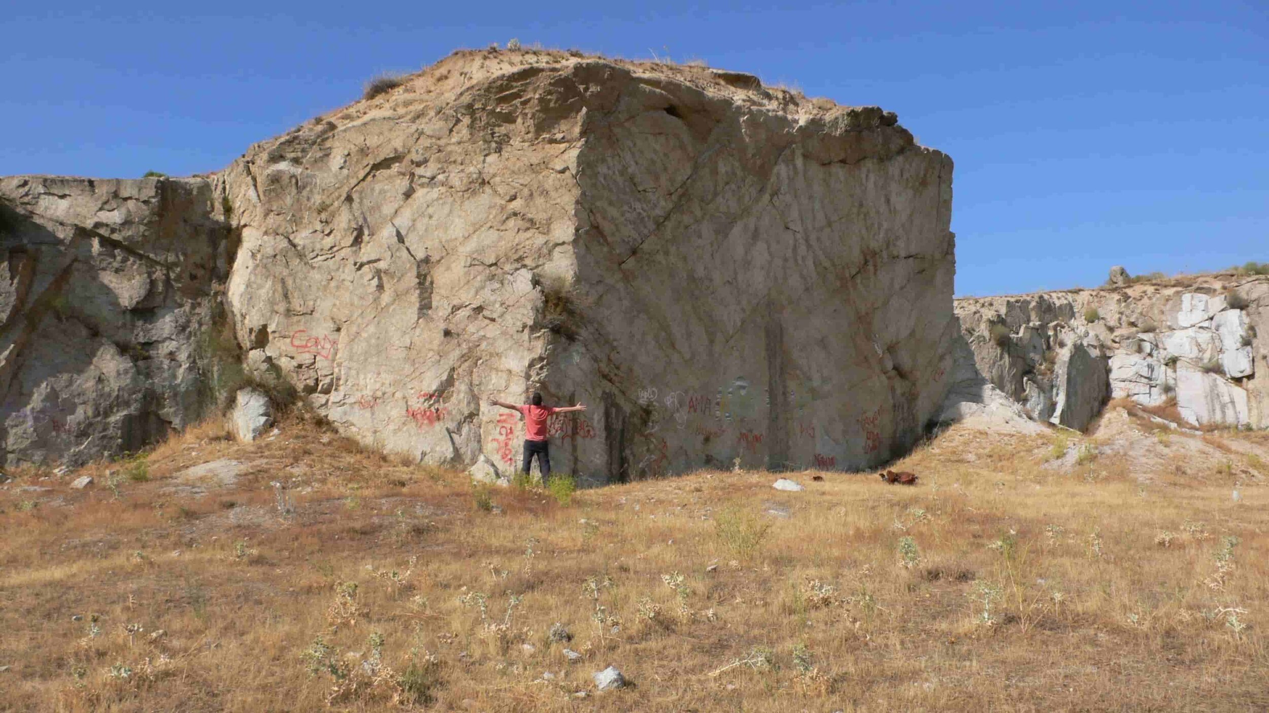
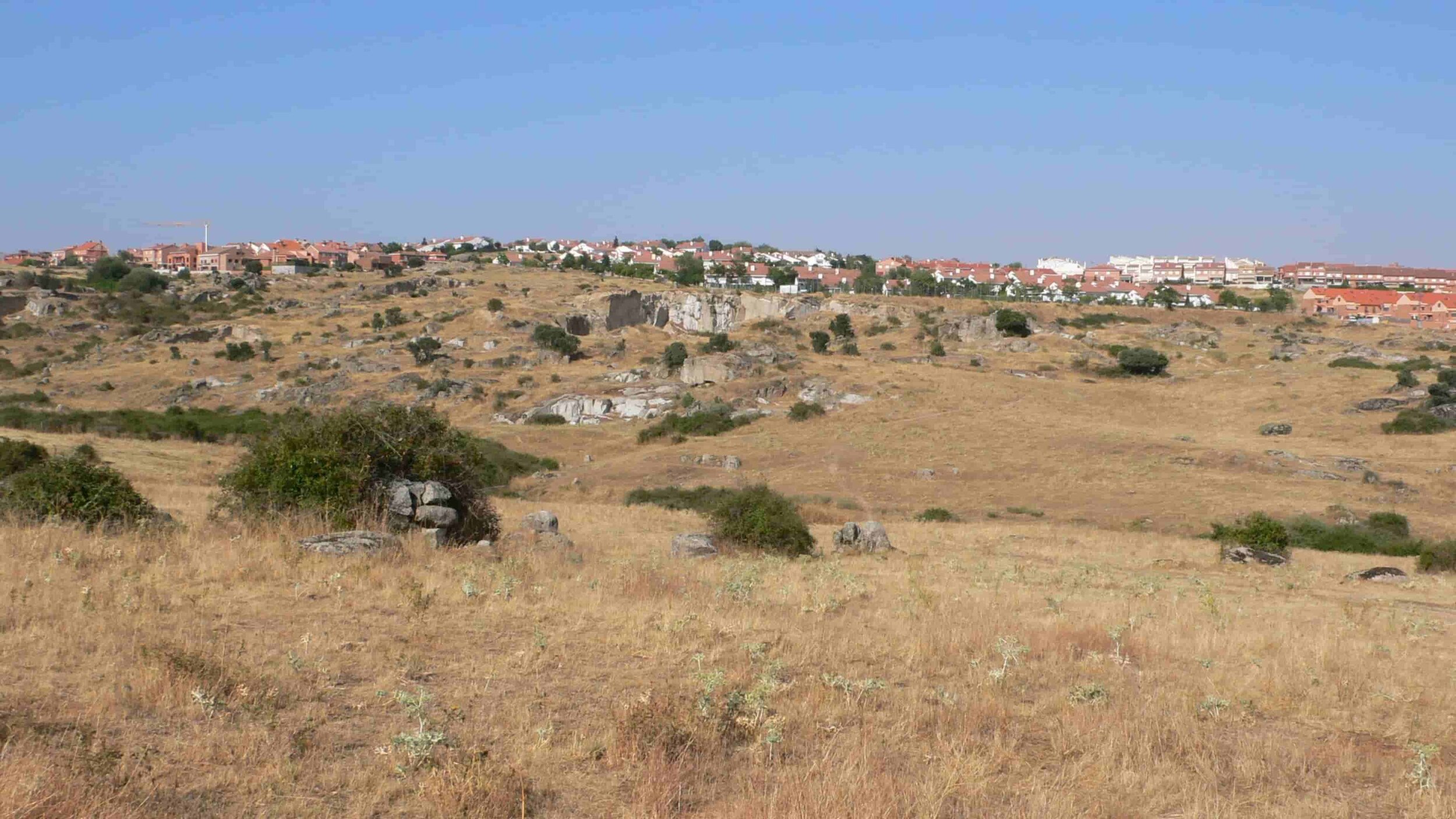
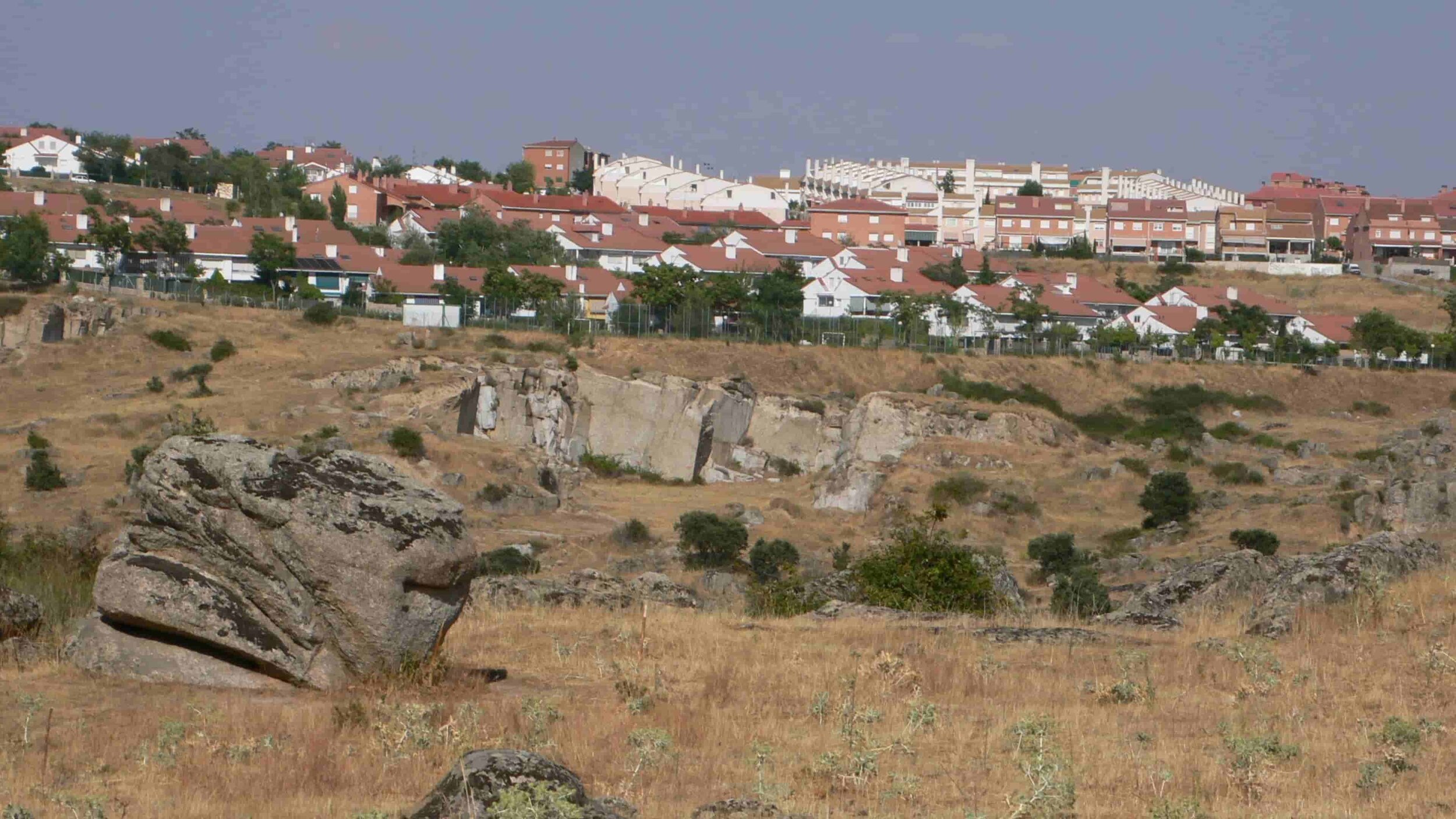
After calling all the granite quarries in the region, we came to visit the plot with three of them. While for the promoters granite was a budgetary obstacle, a technician from one of the quarries asked us as soon as we entered the plot if we were aware of the fortune that granite represented in economic terms, as long as the material resulting from the excavations (gravel, stones, rocks ...). The intention when calling the granite quarry companies was to know the type of spaces that the excavations could leave in order to later intervene as architects. After conversations with the mining engineer, we realised the real possibilities that the project had, as long as I was able to adapt to the point of view of an engineer, even knowing that this methodology would create spatial situations that would not usually occur in residential areas (although the existing plot with the existing quarry fronts like the one in the photo above), with the consequent effort that this was going to generate to be able to convince first the owners and then the city council.
What was clear is that (almost) everyone, promoters, officials and political leaders (from various corporations) agreed on the peculiarity of the quarry fronts and on the need to keep them as a hallmark of Colmenar Viejo. We were going to go even further, not reproducing the same spaces, but maintaining the mentality of the engineers of that time applied to new techniques, although the use was not going to be the same; If from the end of the 19th century the granite from these quarries was used for the construction of the tram and train lines in Madrid, in our time, the material would be used for the development project and for the building, in all possible ways ; aggregate for concrete, for fillings; stones for walls; rocks for slopes and furniture ...
Without being very aware of the significance of this way of intervening in 2004 and 2005, what we were proposing was a sustainable intervention, as we later learned in our numerous researches in the Moroccan desert during the last 10 years, where the inhabitants of the oases are able to build cities with the materials found on the site; land, water and wood, usually palm trees (Habitat en Régions Presahariennes). In our case we do not have land but granite. In this project we have never used the term Sustainable Development in documents or in presentations, because after what we have learned, and continue to learn in the desert, the use that is made in Europe of that term seems an aberration, becoming a mere administrative justification and forgetting its true meaning. In our case, granite is our great ally but it forces us to think and work in a different way, and consequently, the proposal for the city should be different.
But let's go back to the project, because the first task was to analyse the road proposal of the Master Plan and more specifically the Network System that the City Council had to carry out to comply with the, at that time, the new Land Law of the Community of Madrid .
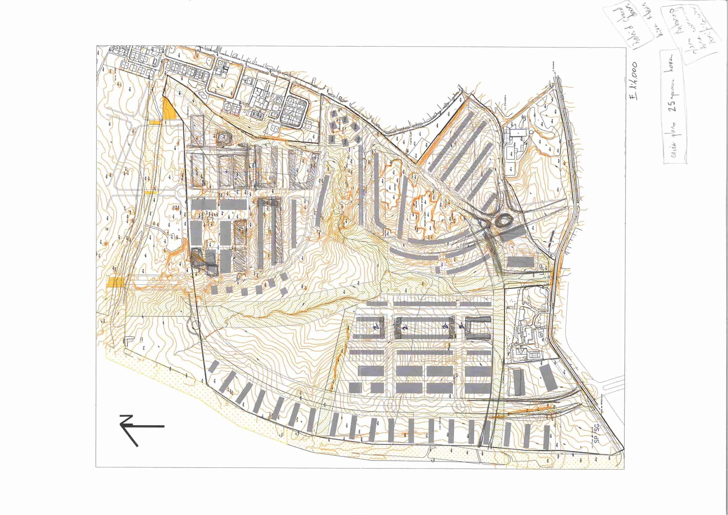
The following sketches and plans show the main changes in relation to Master Plan and the Network System, modifying roads (the original layout would have forced us to build 4 bridges to cross the stream and a roundabout in the middle of the main quarry with fronts of 12 meters) and the location of the single-family and collective homes.


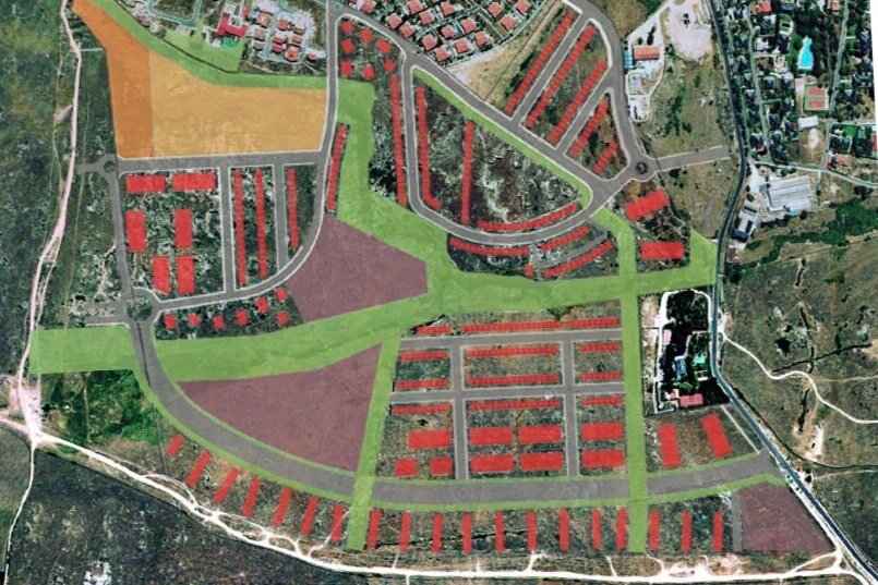
Instead of placing the individual houses attached to the livestock track, the collective ones were located, because it was the least complicated terrain, from the topographic point of view, and because it would allow a greater density, freeing up other spaces necessary for the conservation of the existing quarries. On the other hand, the placement of these collective dwellings did not imply a barrier image from the cattle track, because they were arranged in a way, and with dimensions, that would allow permeability from the landscape point of view. The following images were made for the private competition in April 2005 and a radical intervention in the topography was already being considered with the excavations in the main road and the plots of the houses next to the livestock track, leaving two elevated walks to both sides of the road.
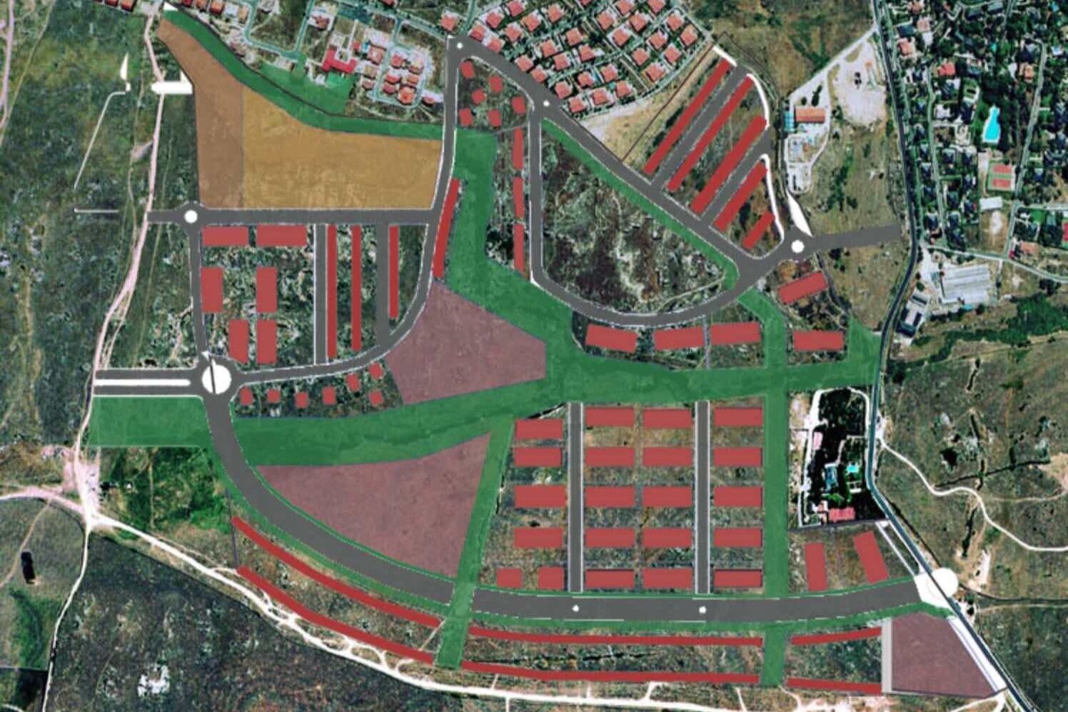
From the beginning these changes were not evident neither for some owners nor for some officials nor for some authorities, so we had to develop the proposals, going from a “simple” zoning for a Partial Plan, to an architectural project with preliminary projects of almost all types of housing to verify that the number of houses indicated with their corresponding parking spaces could be built. This process, which has lasted from 2005 to the end of the Partial Development Plan in 2014 and its subsequent modification in 2020, has been carried out by consensus on each proposal with the owners, officials and the different corporations.
This was the proposal of the other team with which we competed.
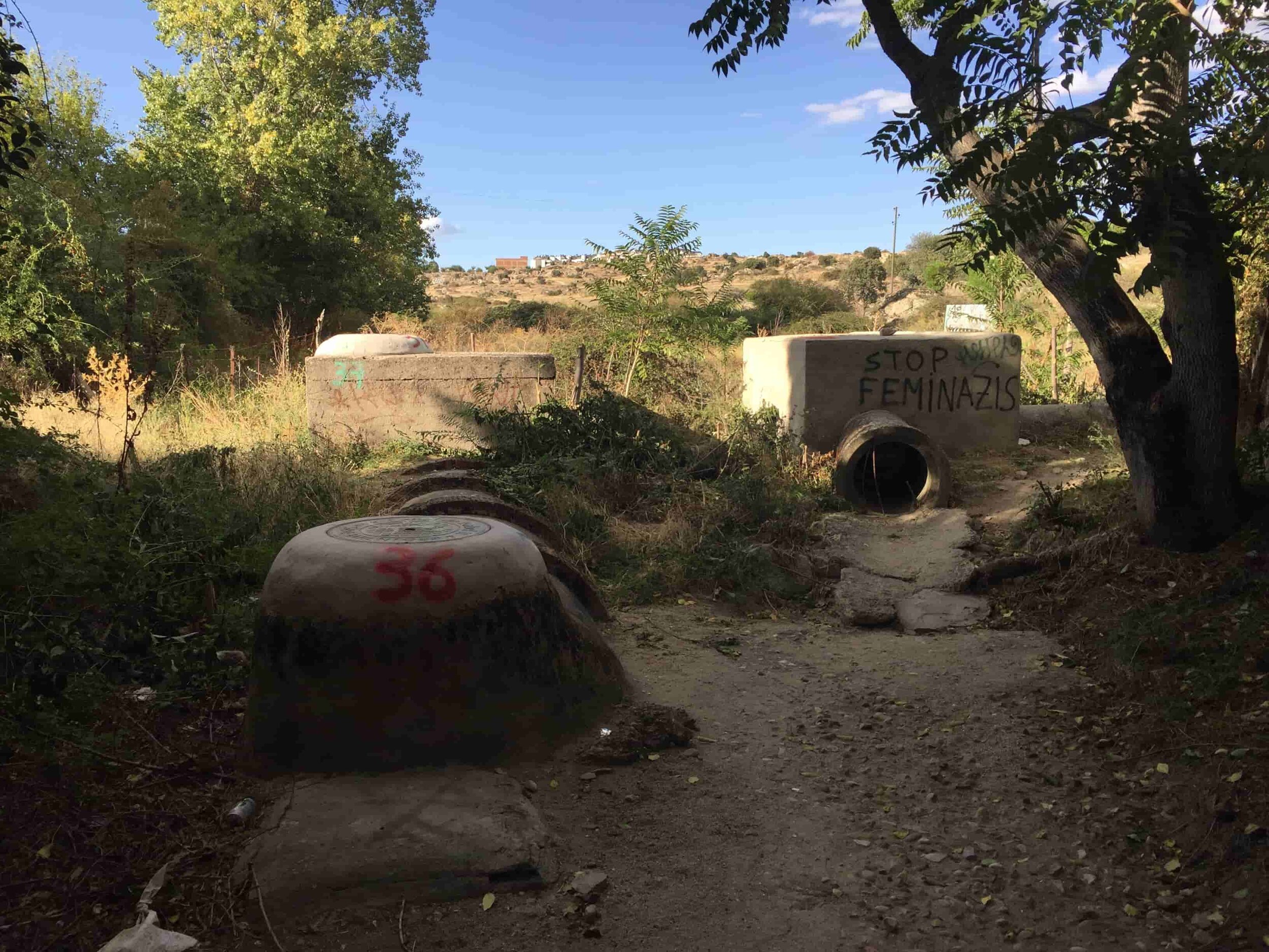
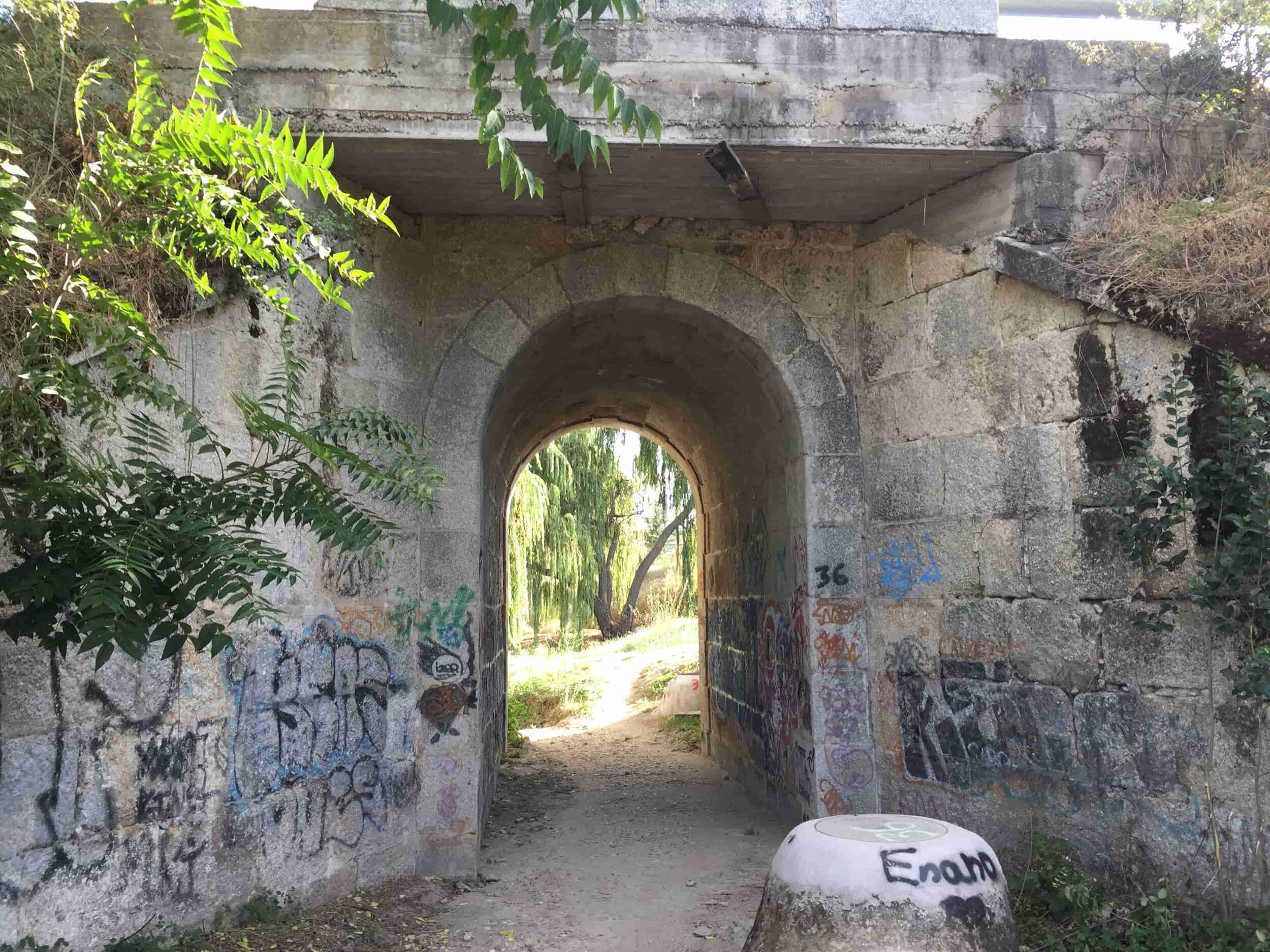
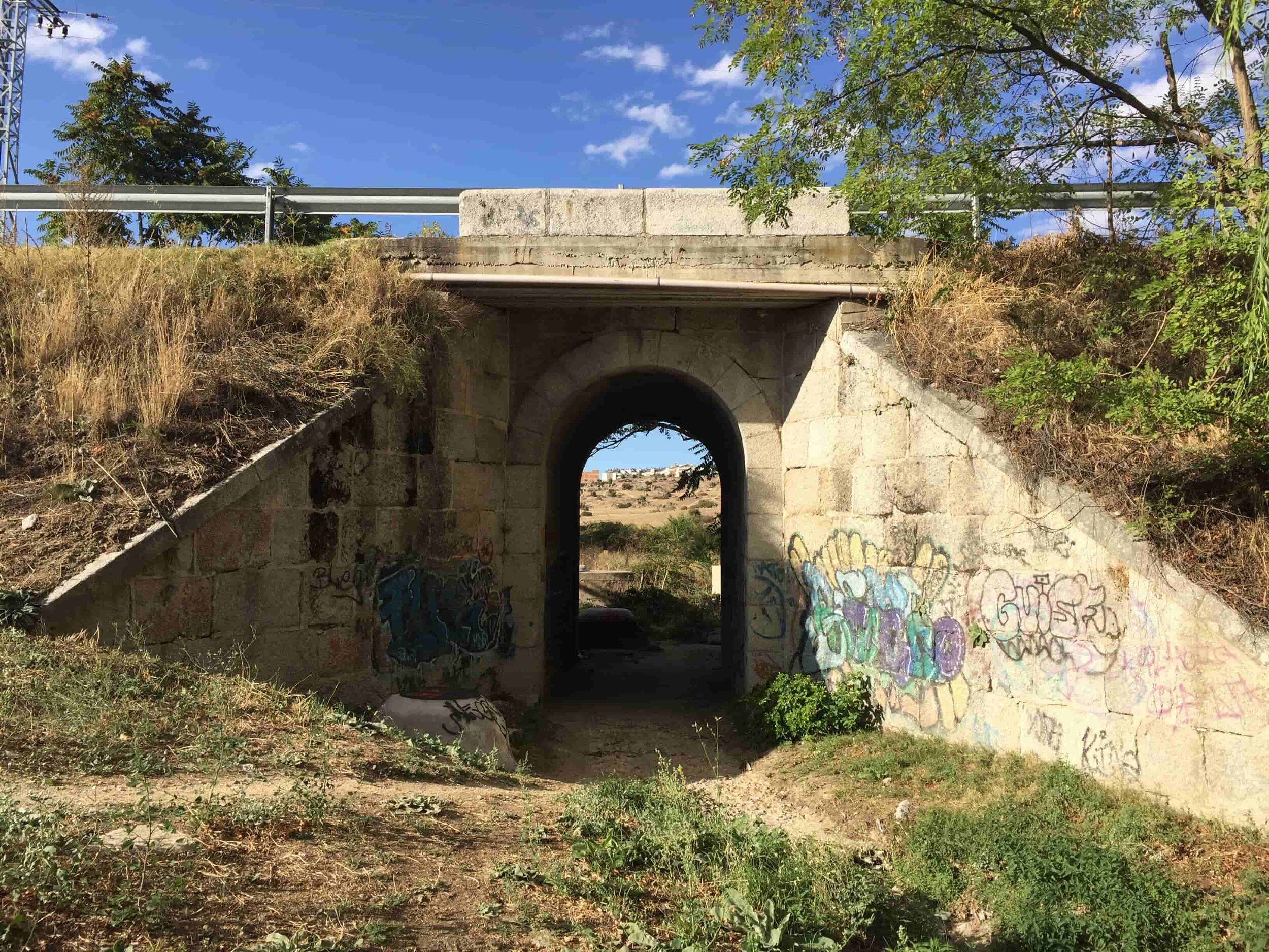
. the site
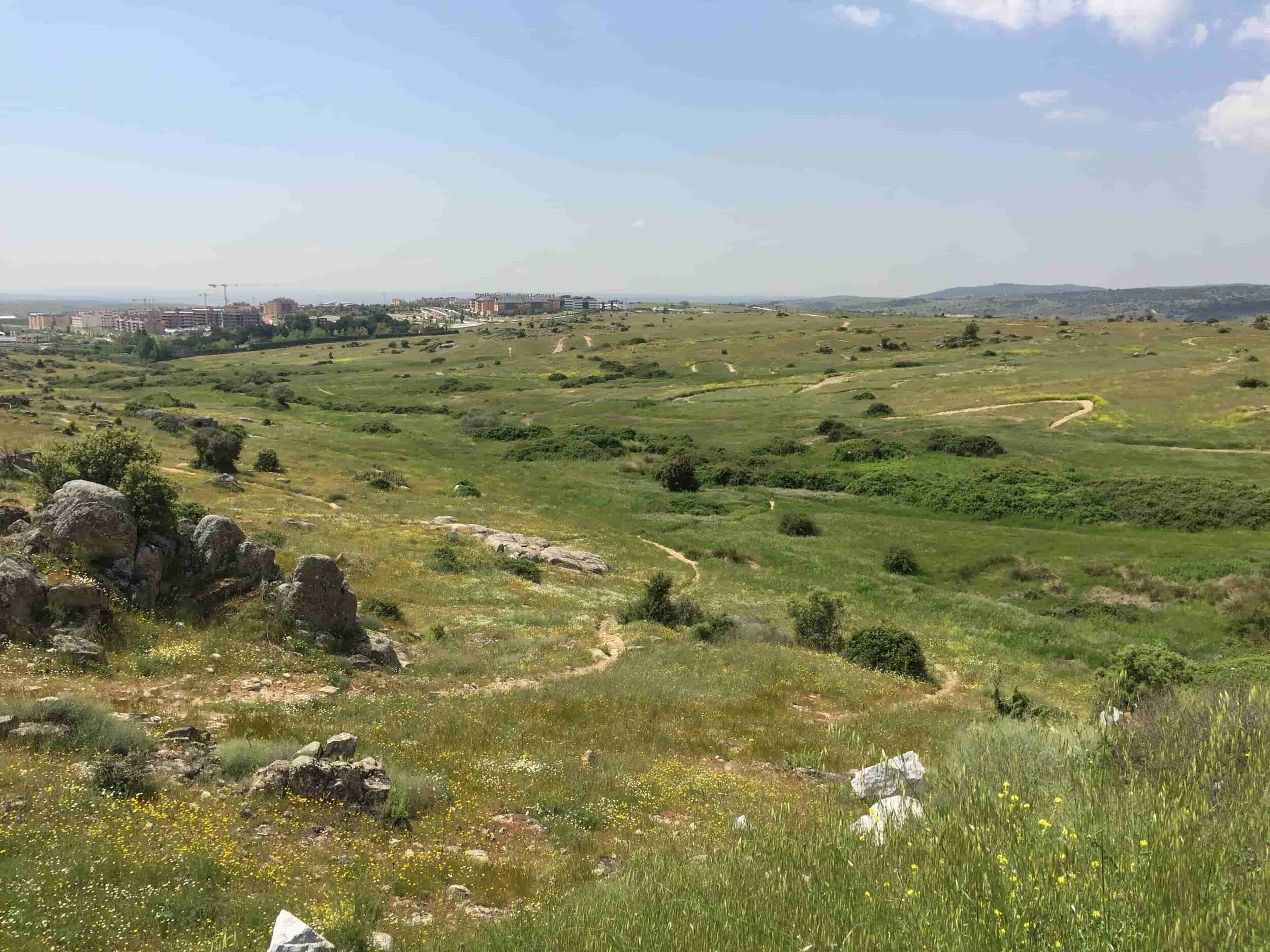
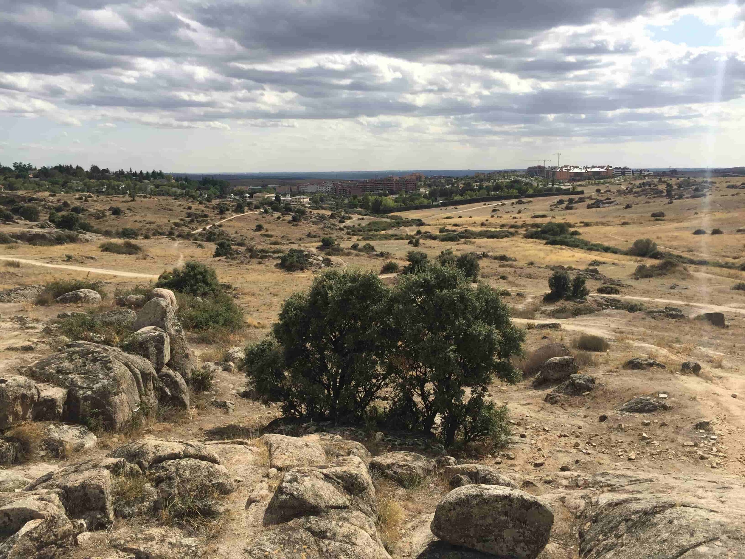
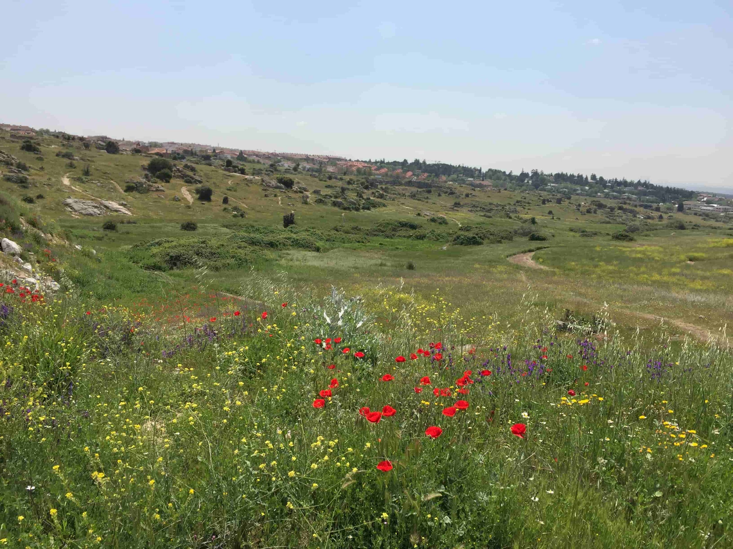
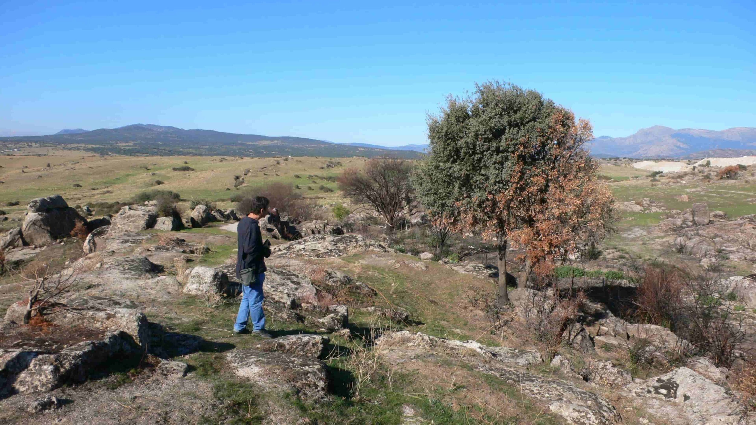
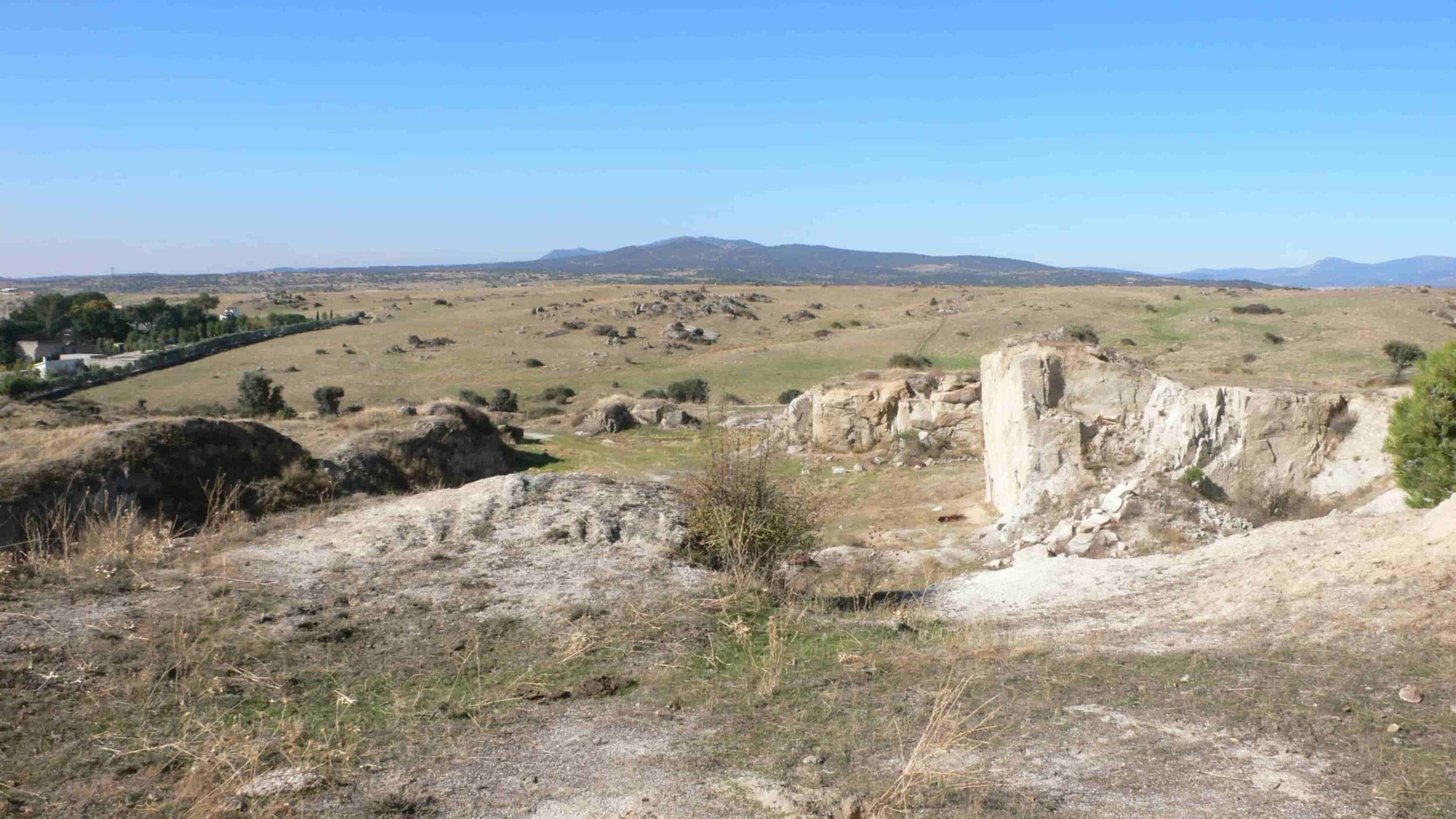
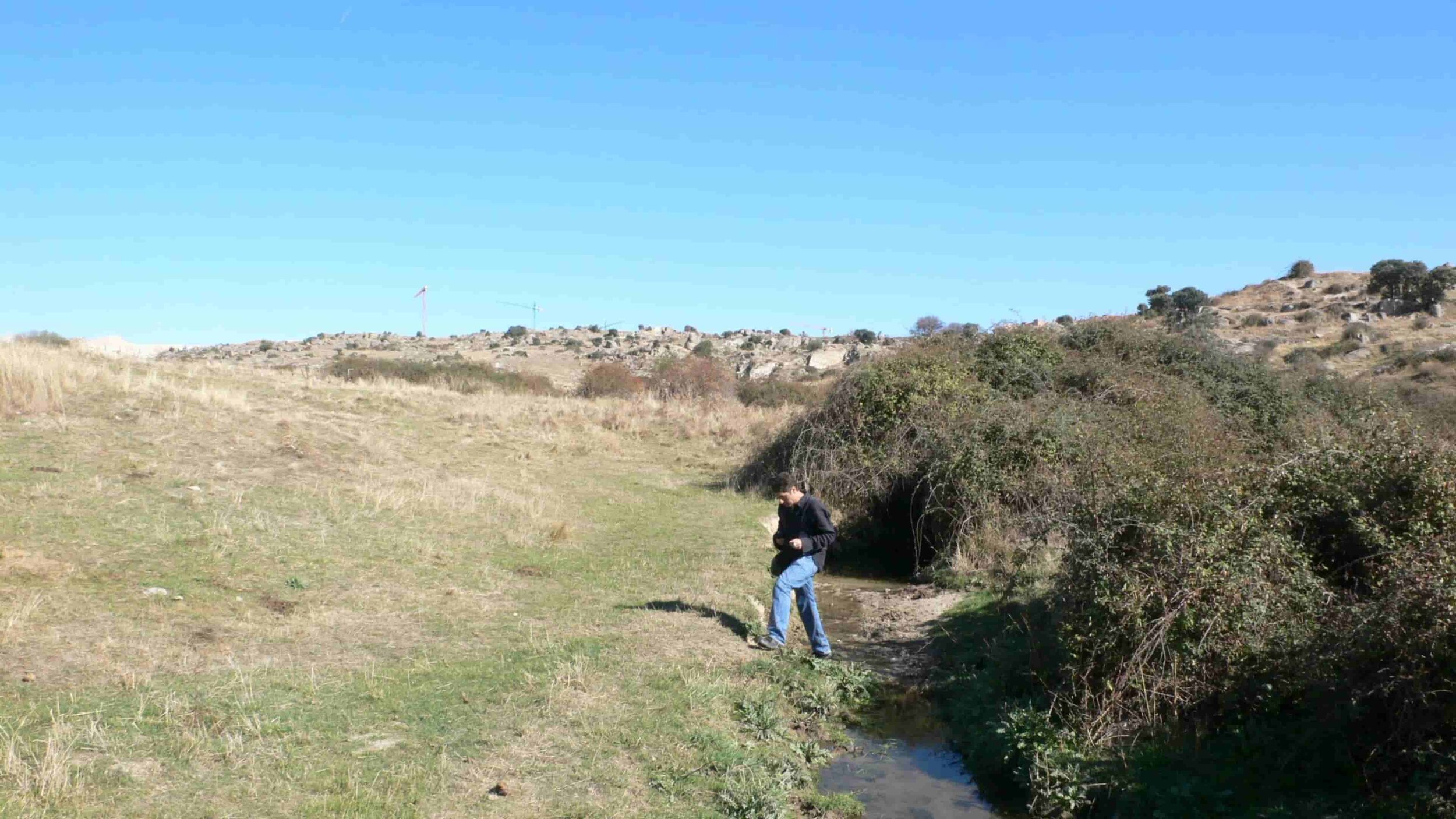
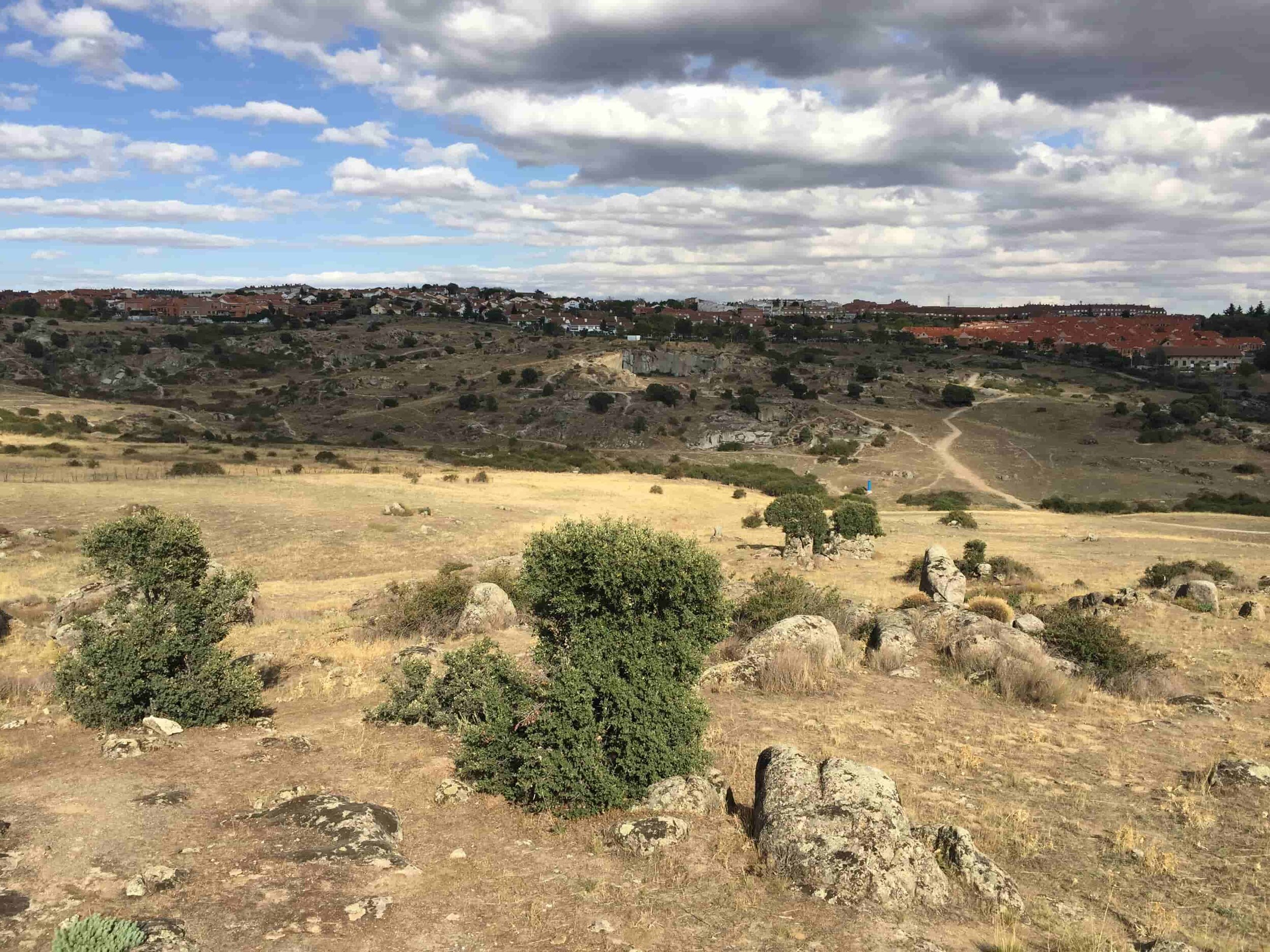
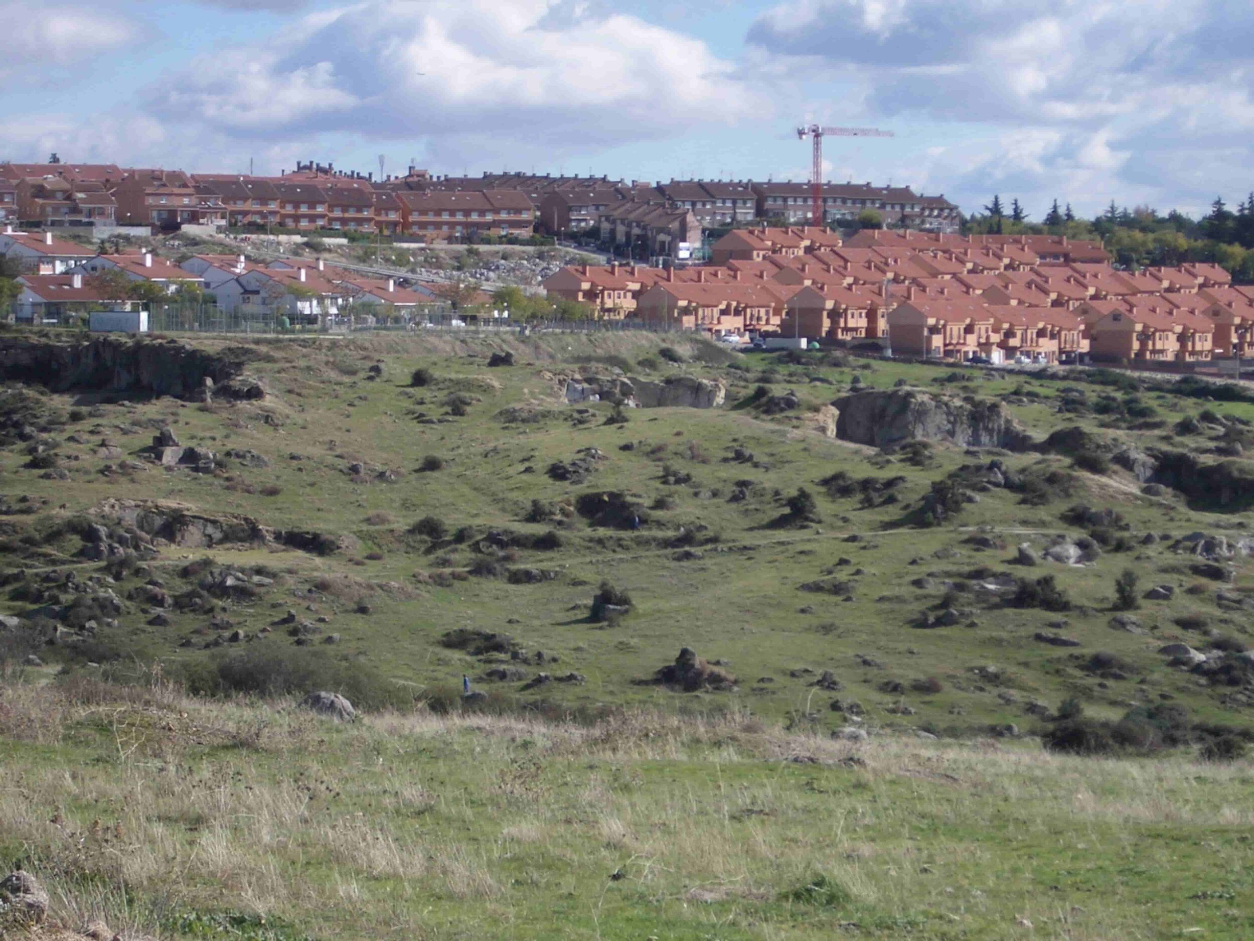
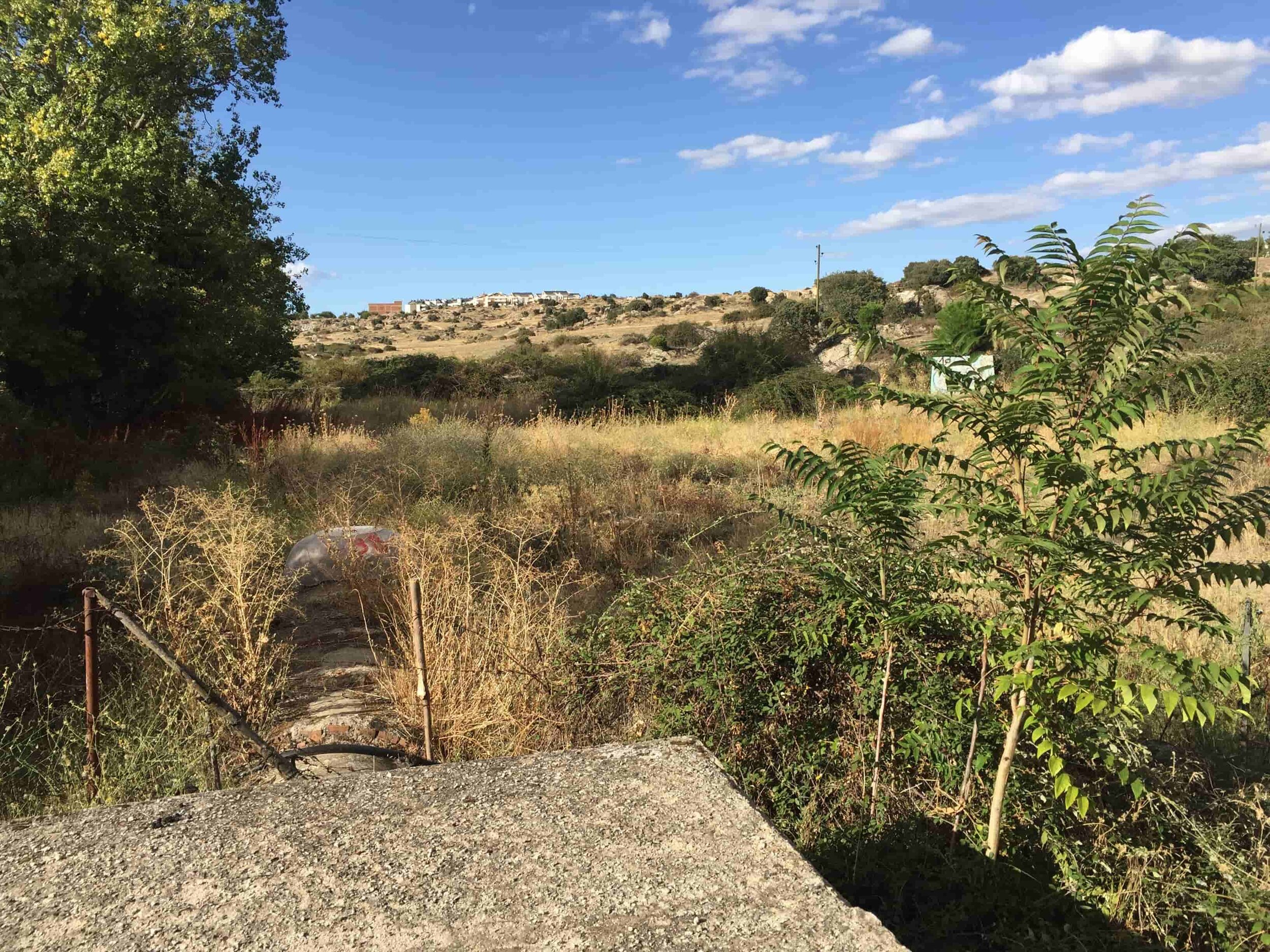
From the first visit we were aware that this place could not be urbanised in any way, it was not only a landscape issue due to the existence of the quarries, the stream, the complex topography or the urban edge that it was going to consolidate, it was also due to the relationship that the inhabitants of Colmenar Viejo had with that place, used as a natural space where they could have picnics, walk, bike or horseback, along its trails and along the livestock track. To be honest, it was a shame that the city lost that recreational space and our first question was if an urban development could be reconciled with the maintenance of green areas, and something even more important, with the routes that allowed going from the urban area to the livestock track.

image 3d Bing Maps


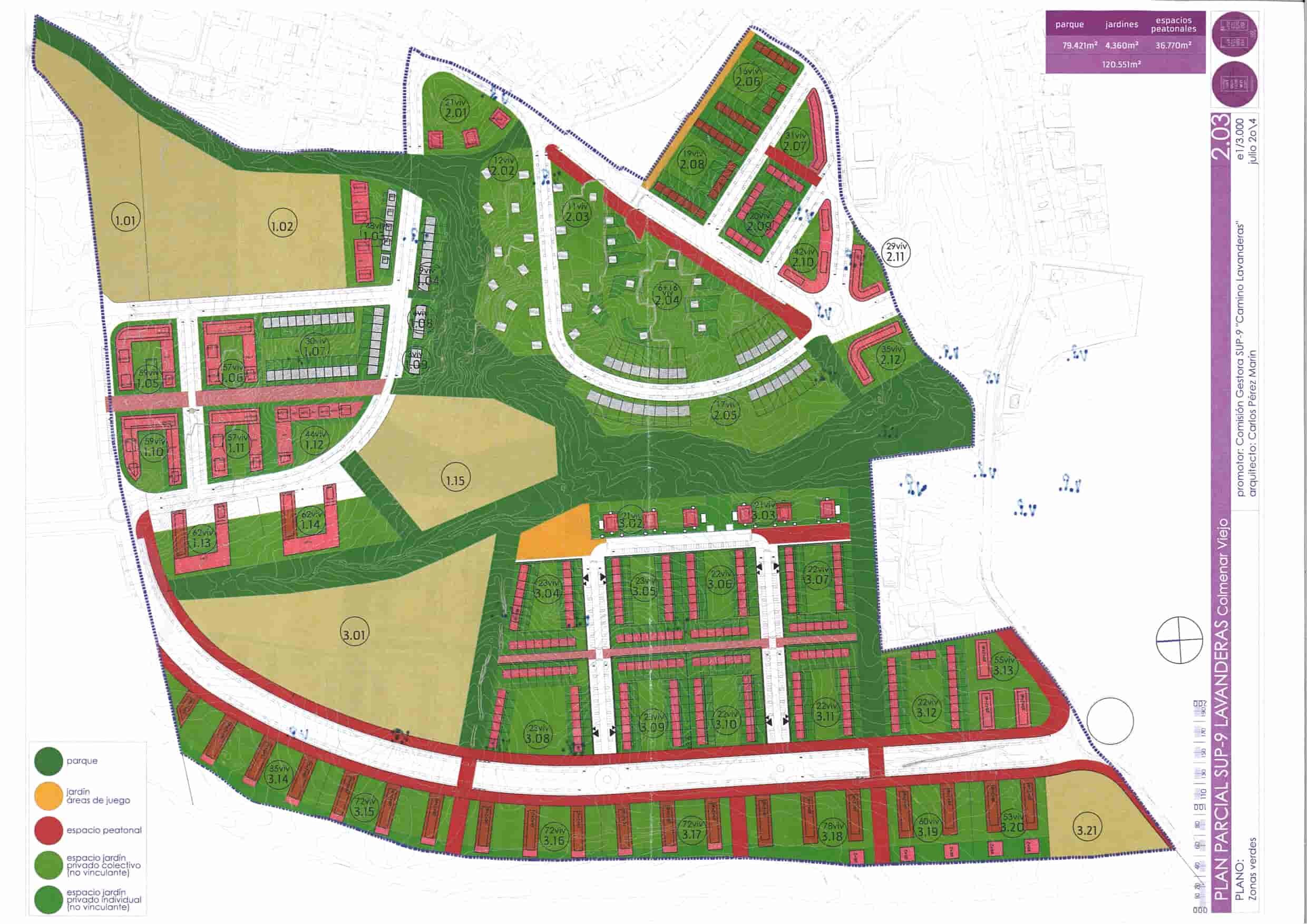
It is precisely these routes, and more specifically the pedestrian ones, that have been delimiting public spaces and consequently private spaces for dwellings, regardless of whether their representation on the plans was the usual or not; Urban planning is criticised for, in many cases, being posed as a drawing on a coloured plan to distribute percentages, instead of thinking about the graphic representation of the generation of friendly and useful spaces for the functioning of the community. For all this, an attempt has been made to be coherent, adapting to the place, physically and psychically, to the point of studying and using elements that are never taken into account on a scale of thought of Partial Development Plan and above all, trying to combine private with public interests and as shown in the proposal. Let's look at some examples.


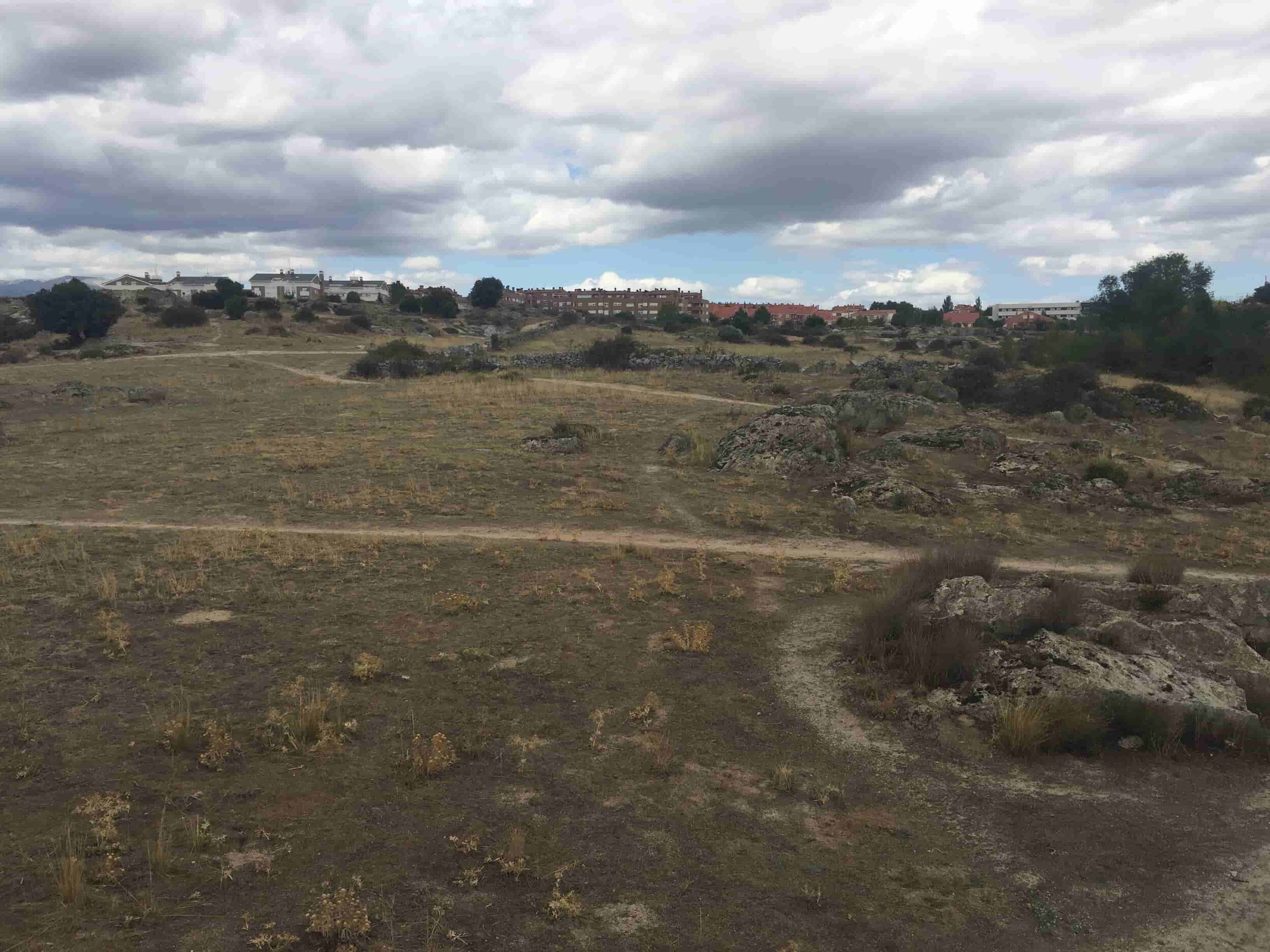
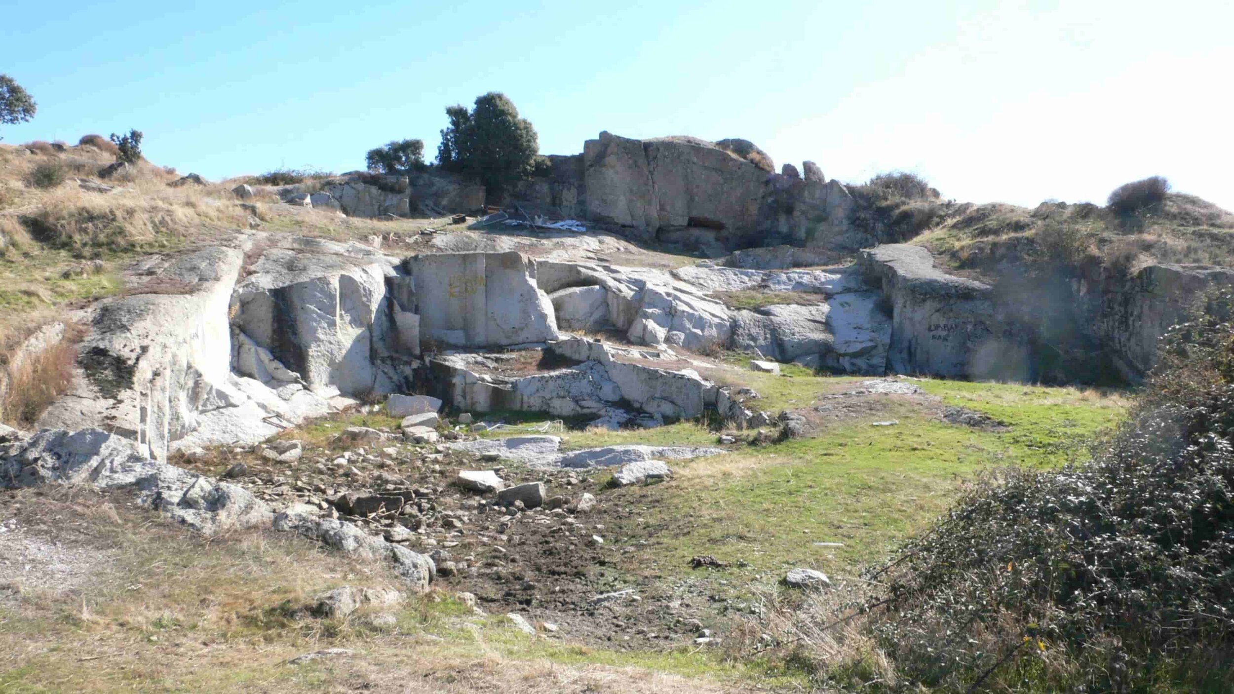
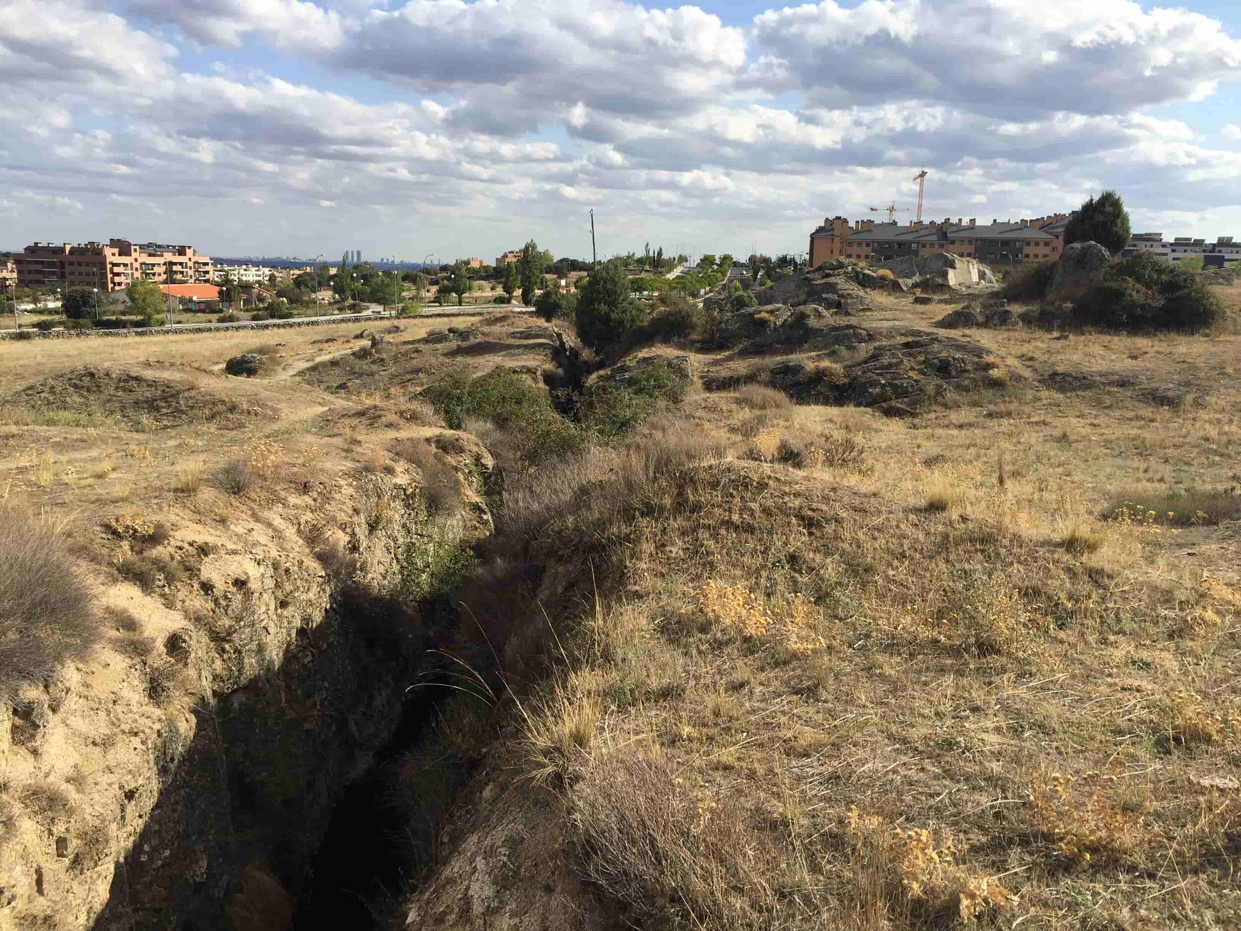
At point 1, we have a branch of the stream and next to it, an area with trees and a geological outcrop. The easiest thing would have been to delimit the plot adjacent to the south of the stream with a straight line, however in the plans that line is polygonal because it has been “drawn” on the site.


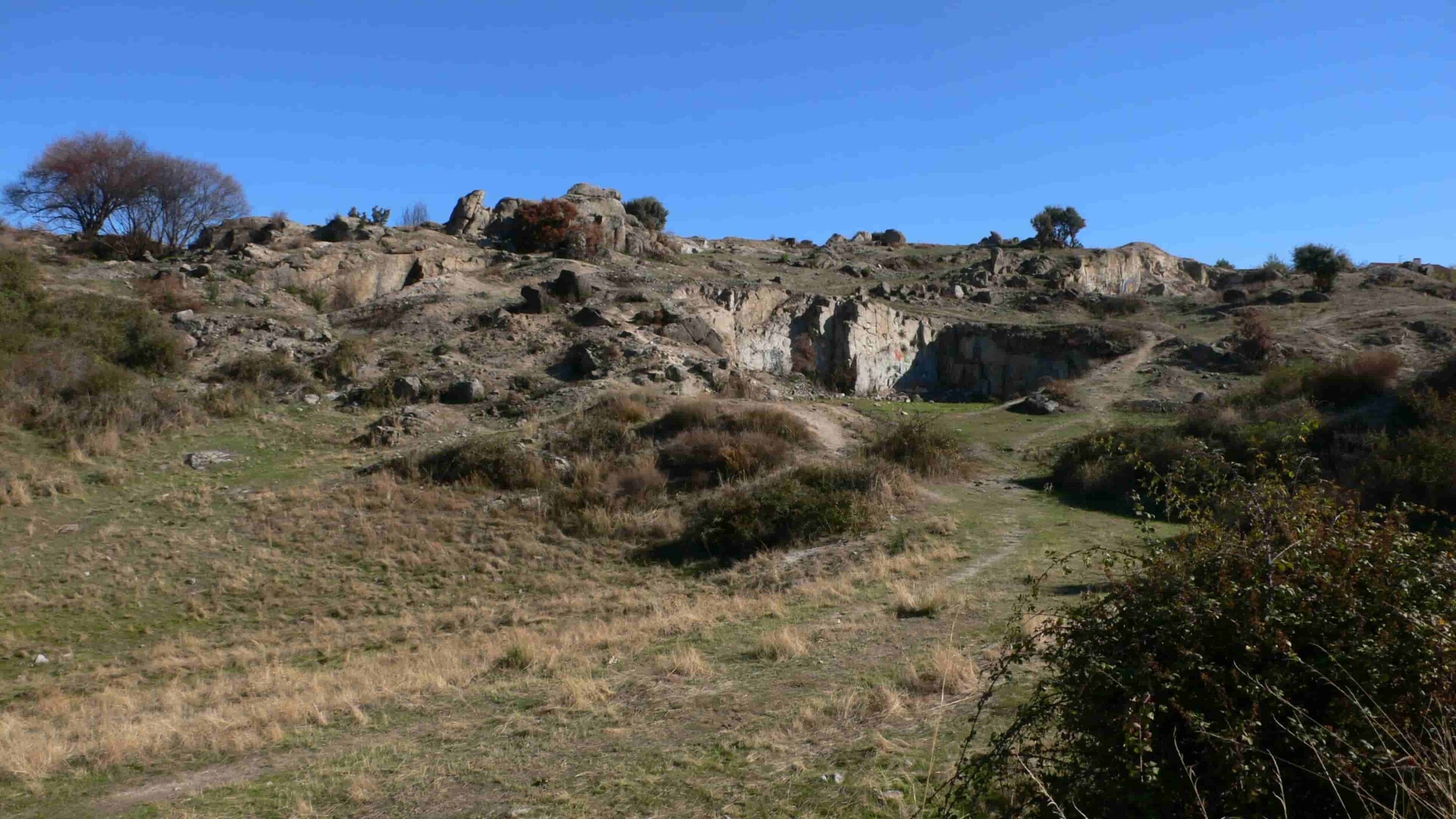
The second point was decisive to trace one of the pedestrian routes that go from the stream to the livestock route. It would have been easier to draw that "green band" in another way, but we found it interesting to integrate and recover a space that arose from the exploitation of granite as a future source (with its edges duly delimited to avoid falls), thus providing an "autochthonous” and identity to the network of public spaces.
These are just some examples of the unique spaces that the plot hides and of the importance of visiting it and walking it up and down to better understand the proposal given the complexity of the topography.
On another scale, the route of the road has been made based on the paths that both the inhabitants and the animals have been making for years, because in many cases, they were the most rational way to cross a plot with such a complex topography. If the two road systems (for vehicles and pedestrians) were superimposed, we would see that they would quite coincide with those indicated in this aerial photograph.
current trails as the basis of the road network
pedestrian paths
. the plans
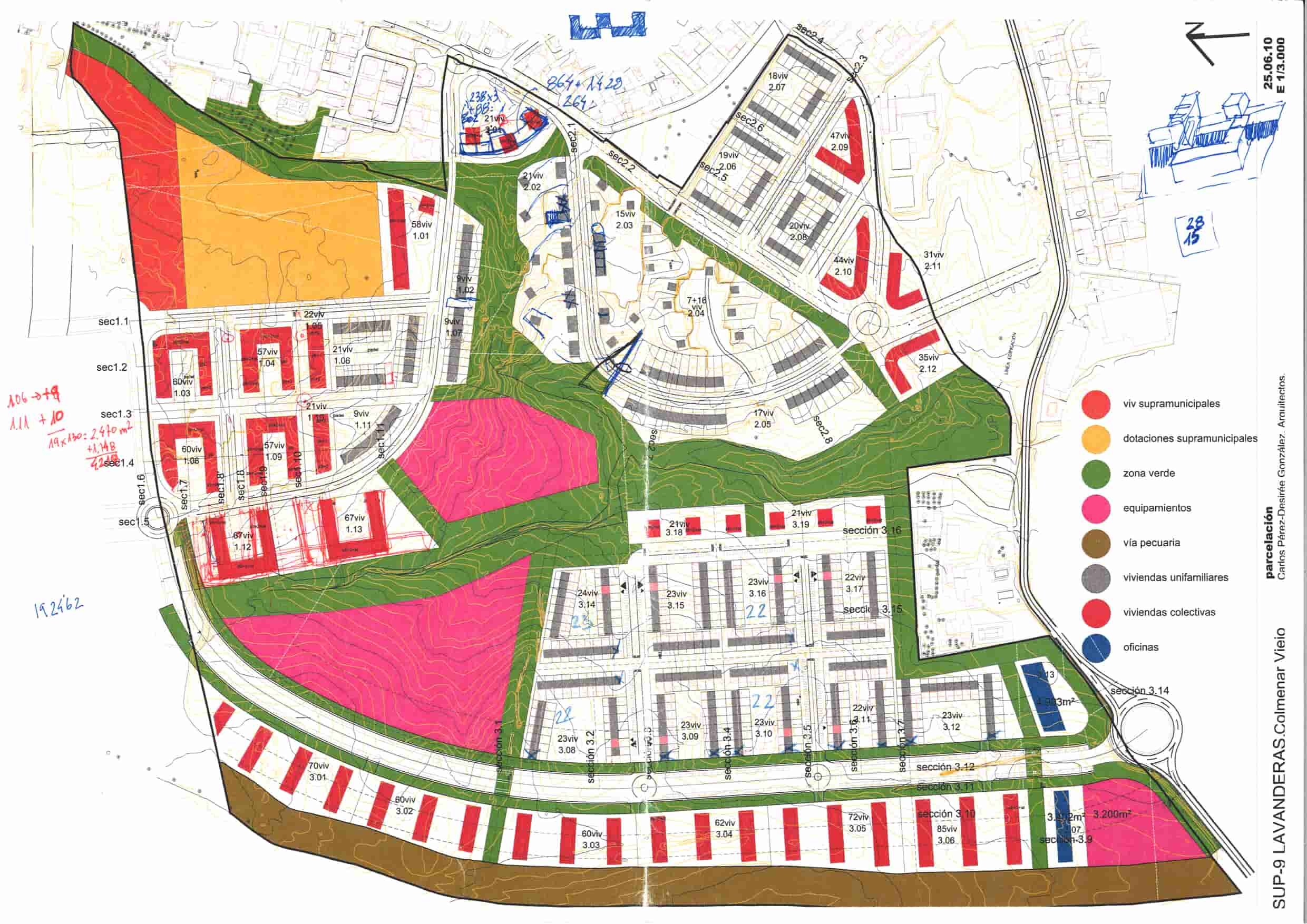
Well, trying to reconcile the site and its identity, the different regulations, the demands of the promoters and the general interest, the architectural project was developed that later has been given the form of a Partial Development Plan, emphasising, as we have already commented repeatedly, in providing the sector with a system of public spaces in quantity, quality and uniqueness, and in dwellings that can make the most of both the views and the public, semi-private and private green spaces, eliminating vehicles roads that were not necessary, that is, pedestrianising them.
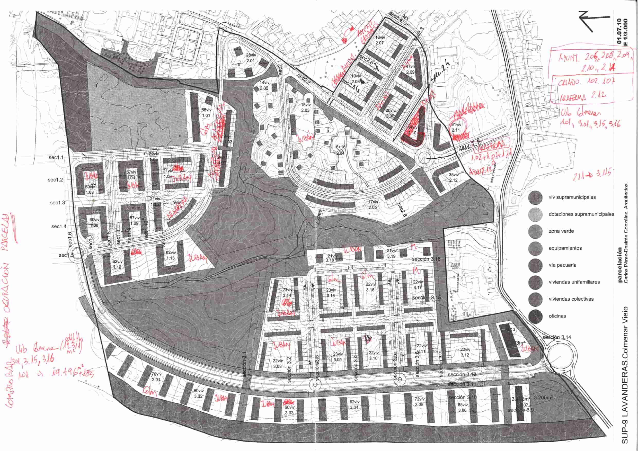
In the successive sketches, the general evolution of the plots can be observed, changing the location of the single-family and collective and developing the proposals for each plot as the preliminary projects were made, which were later incorporated into the general zoning plan.


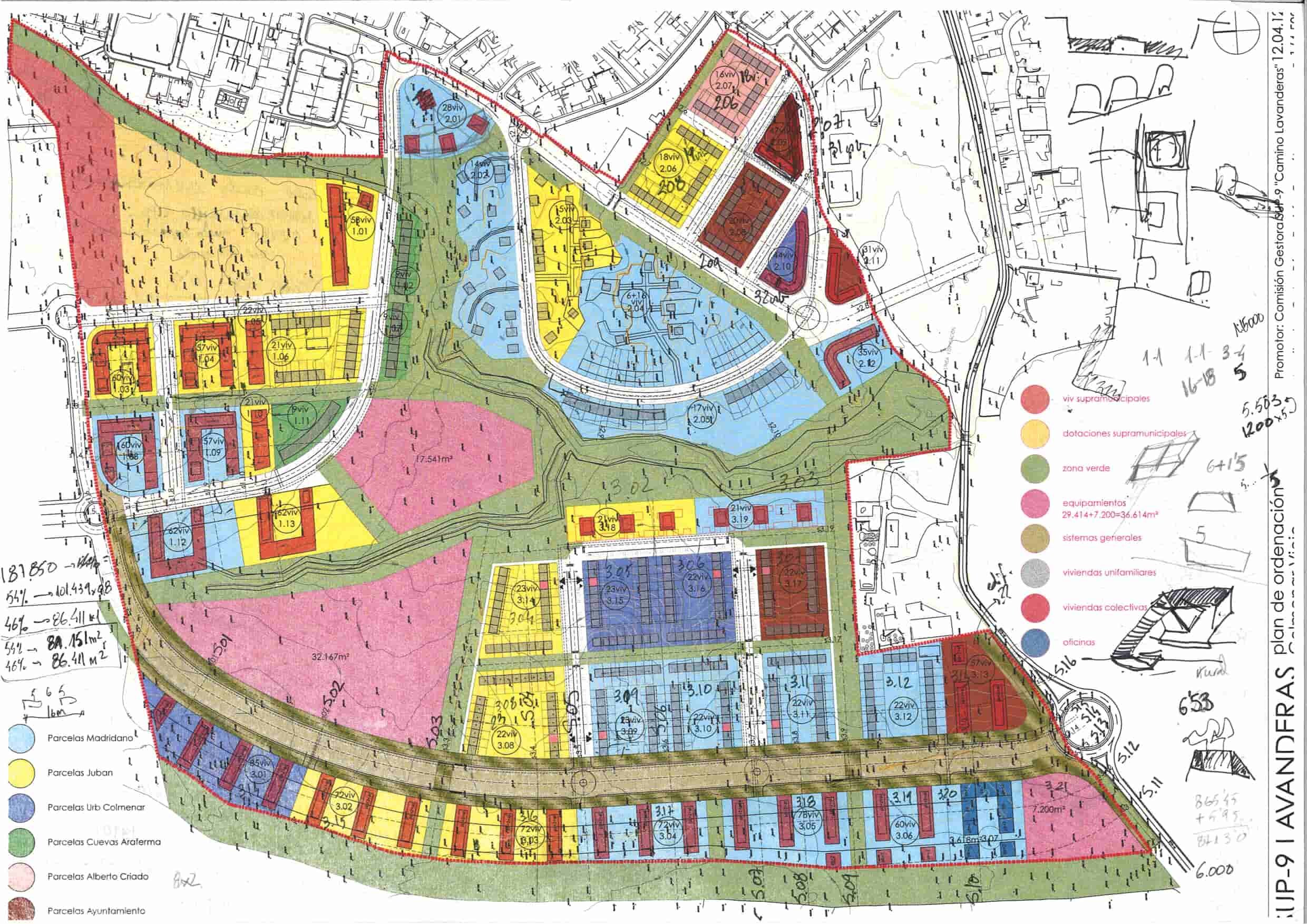
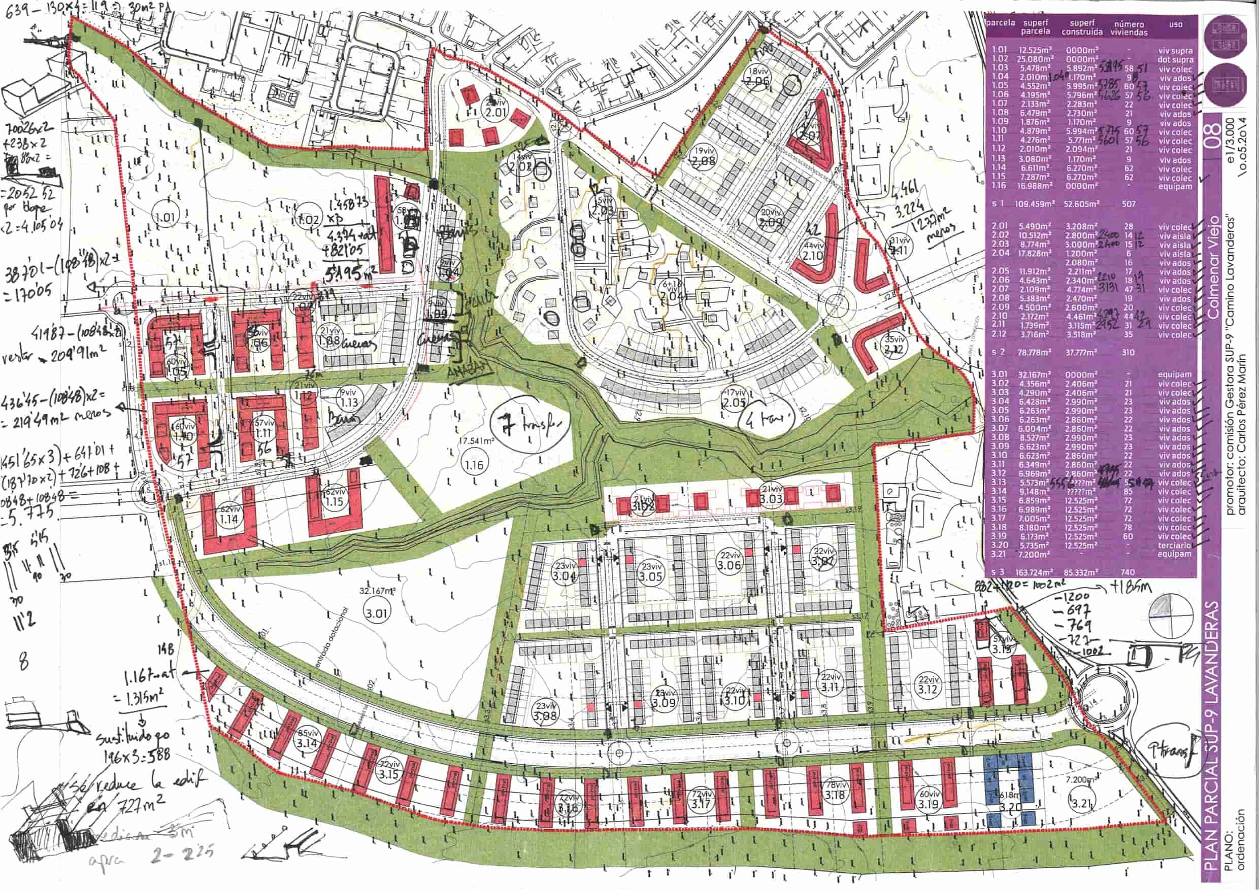
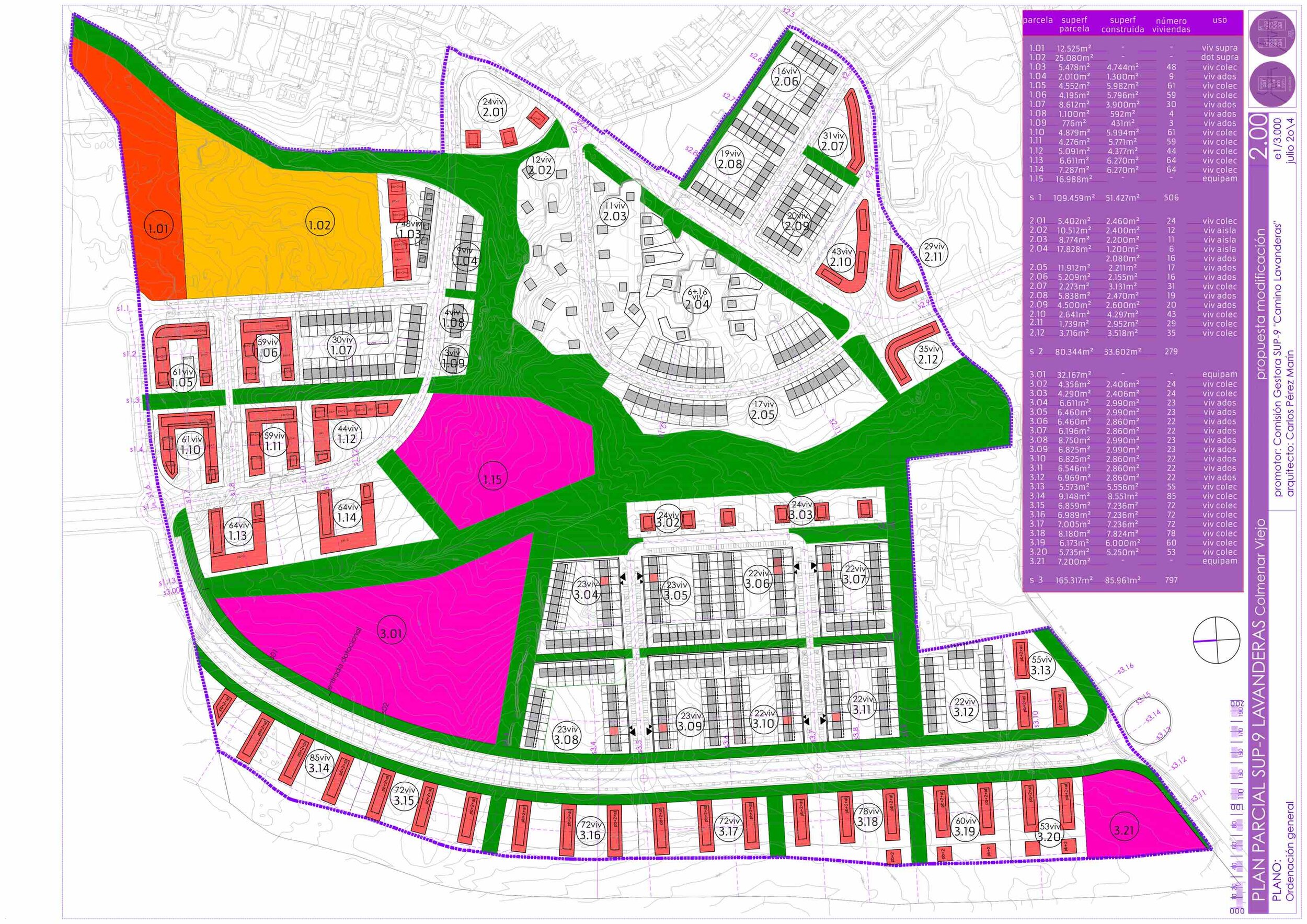
The Partial Development Plan document was completed in September 2014 and the property presented it to the city hall in February 2015. However, the local administration did not report until April 2020, a delay caused by changes in the town hall technicians, in the local governments and for the processing of the modification of the Network System by having to inform the Hydrographic Confederation. In 2020, changes are made to the main road and several plots to respond to the requirements of the city council and the new owners.