03. Research
After my first stay in Moulay Bouchta in January 2018, I wanted to return to explore several topics in greater depth:
vernacular architecture, especially its construction and structural system.
the integration of architecture into the landscape, particularly its relationship with the rocks.
civil heritage (the marabouts of Moulay Bouchta) and military heritage (the kasbah of Amergou).
03.1 Architecture
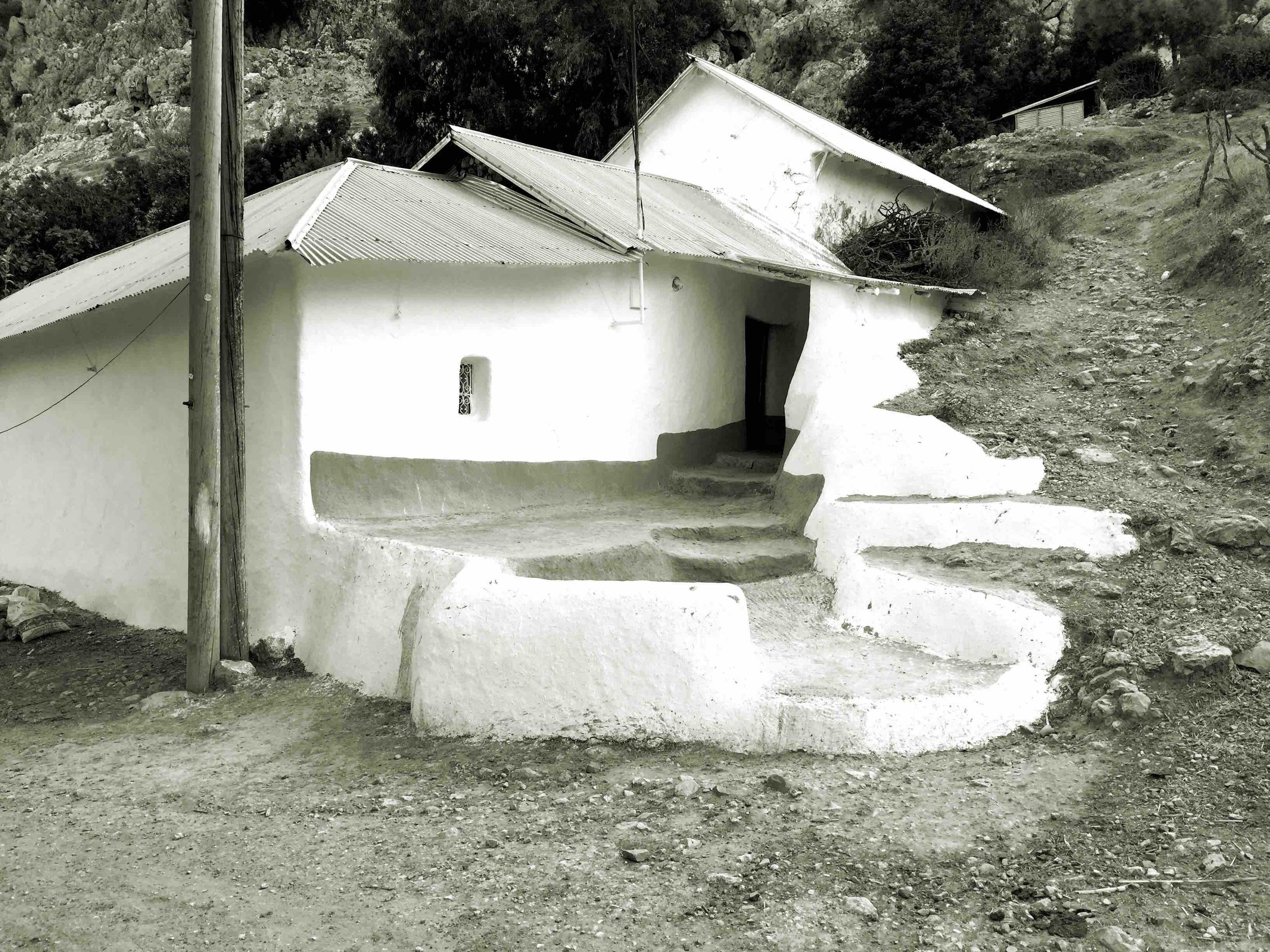
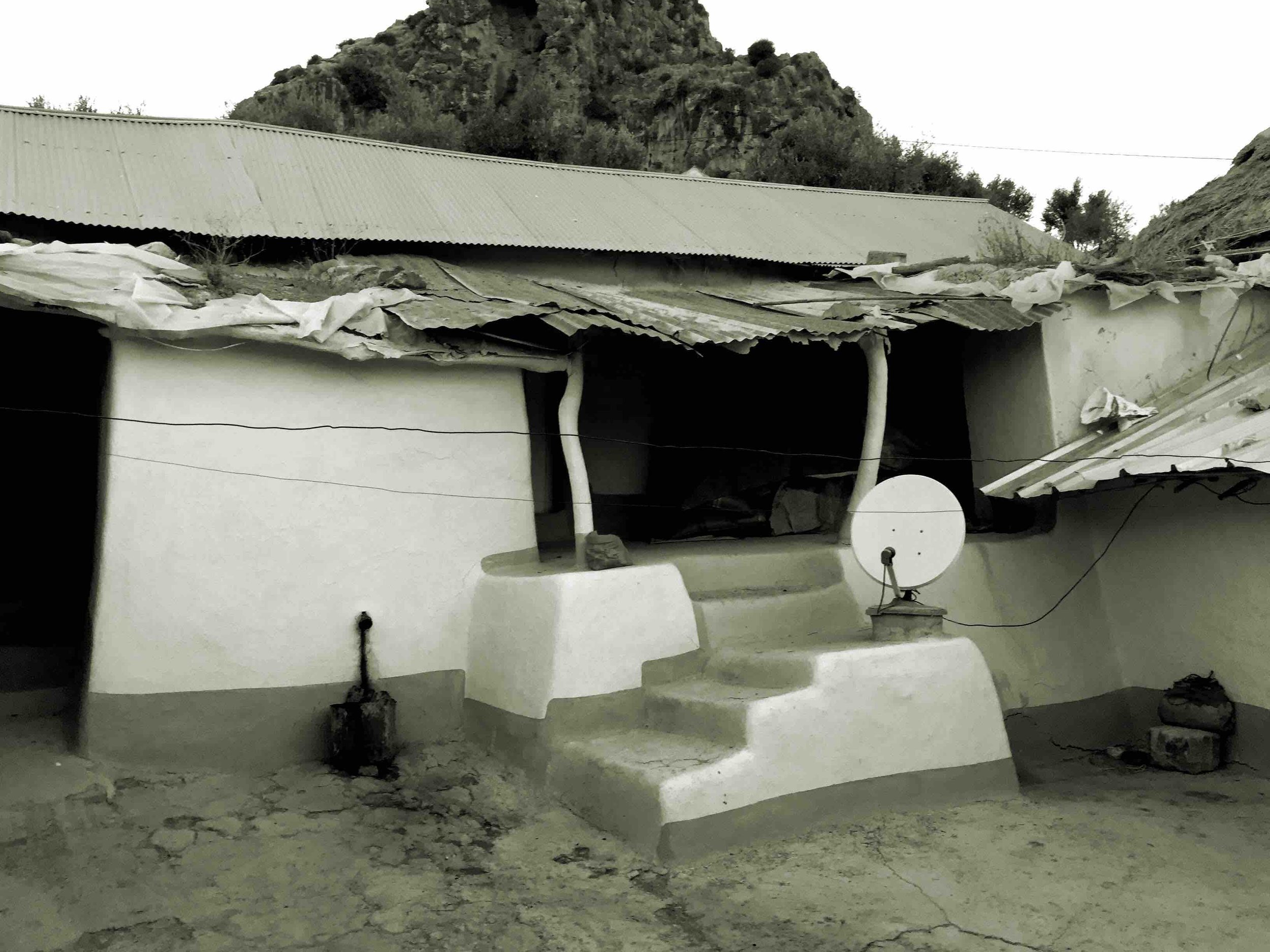
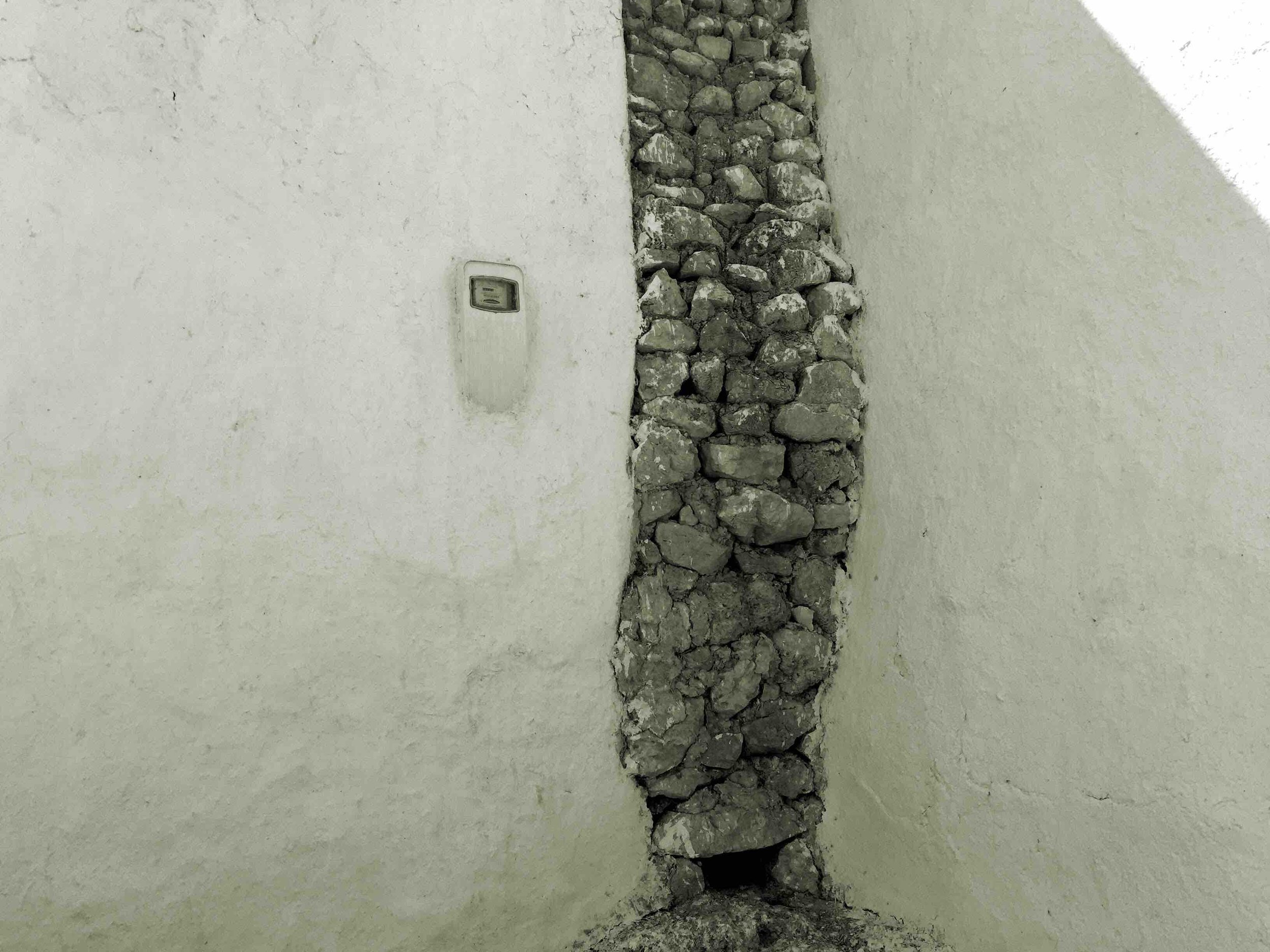
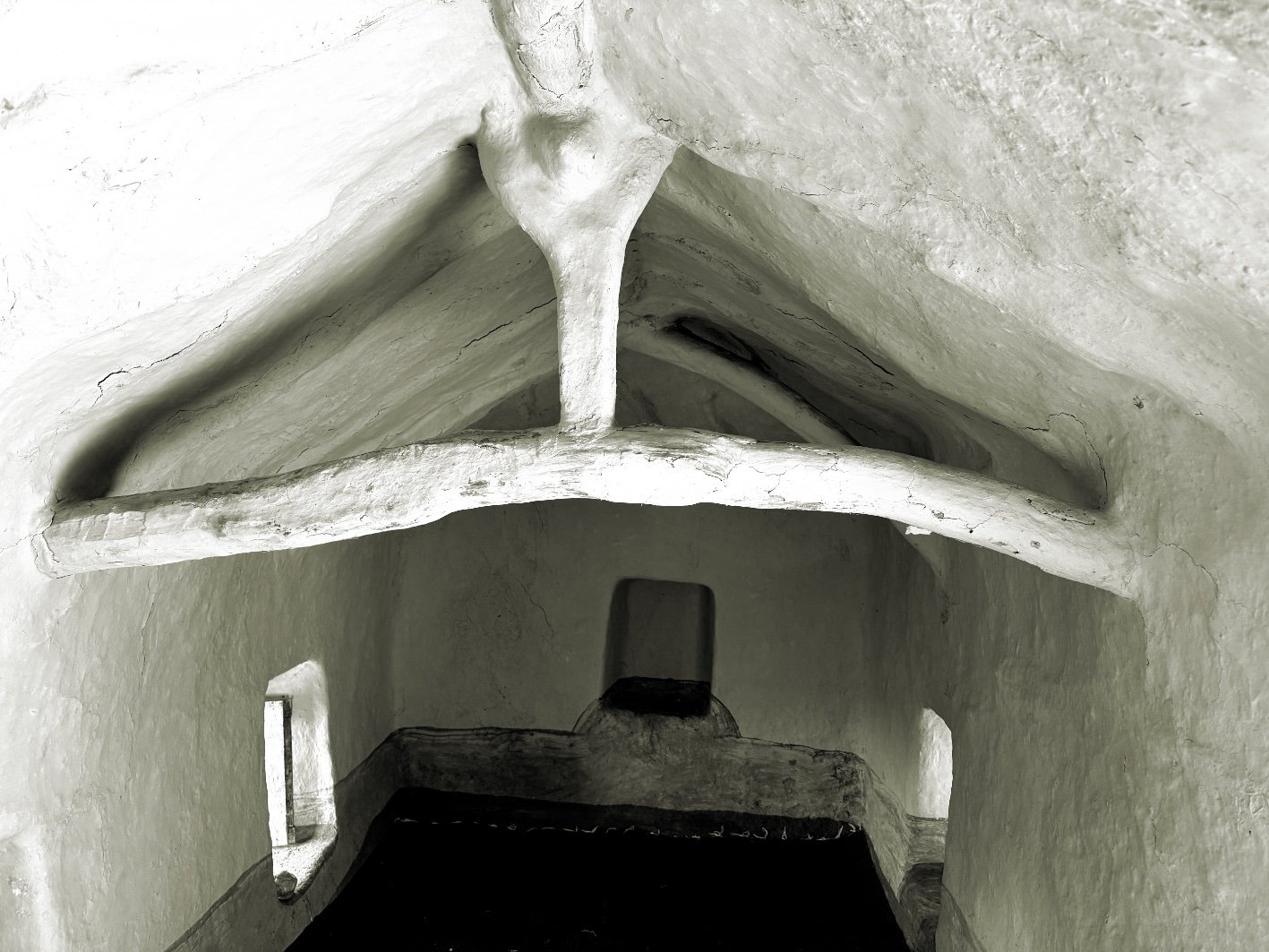
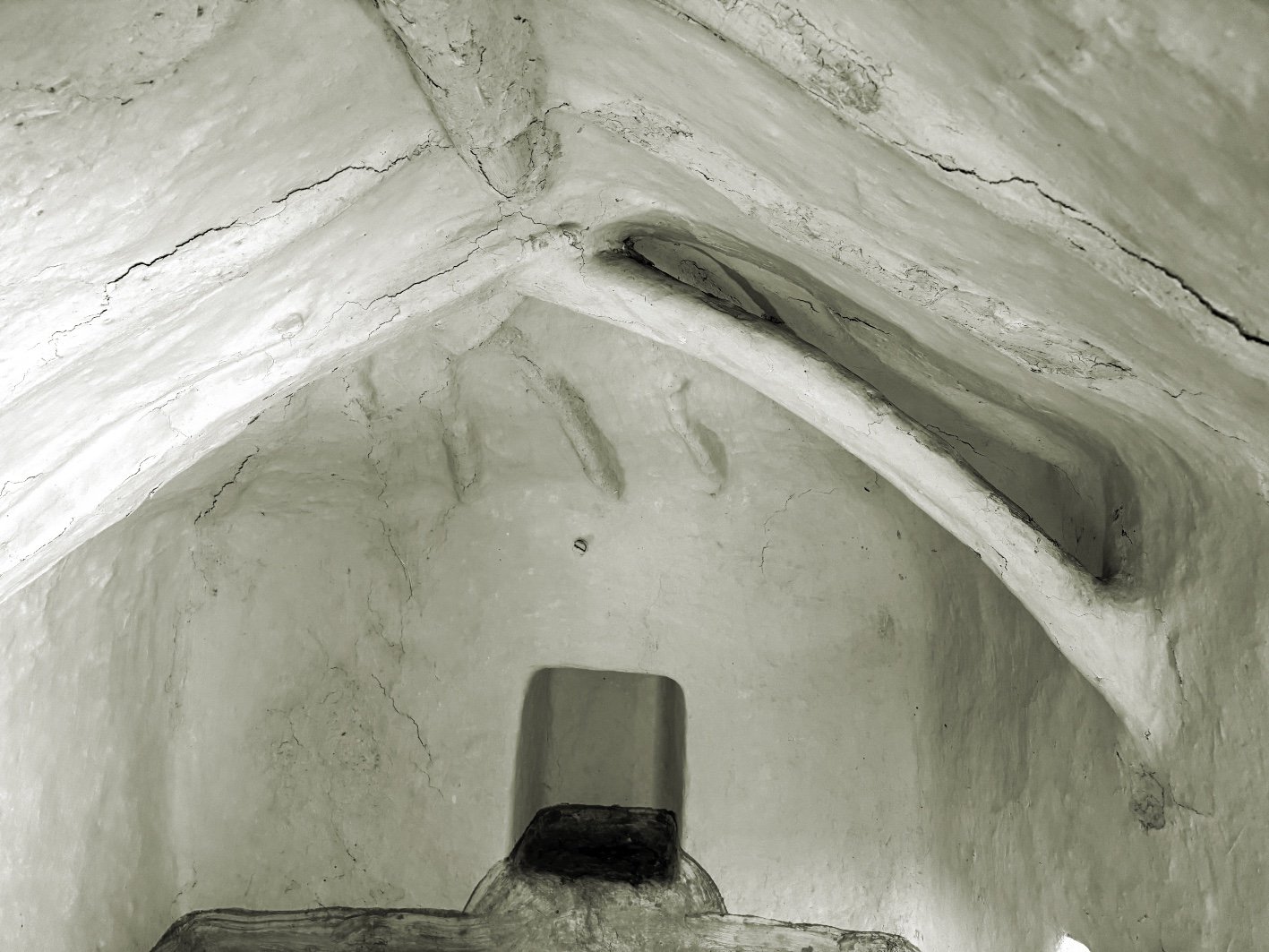
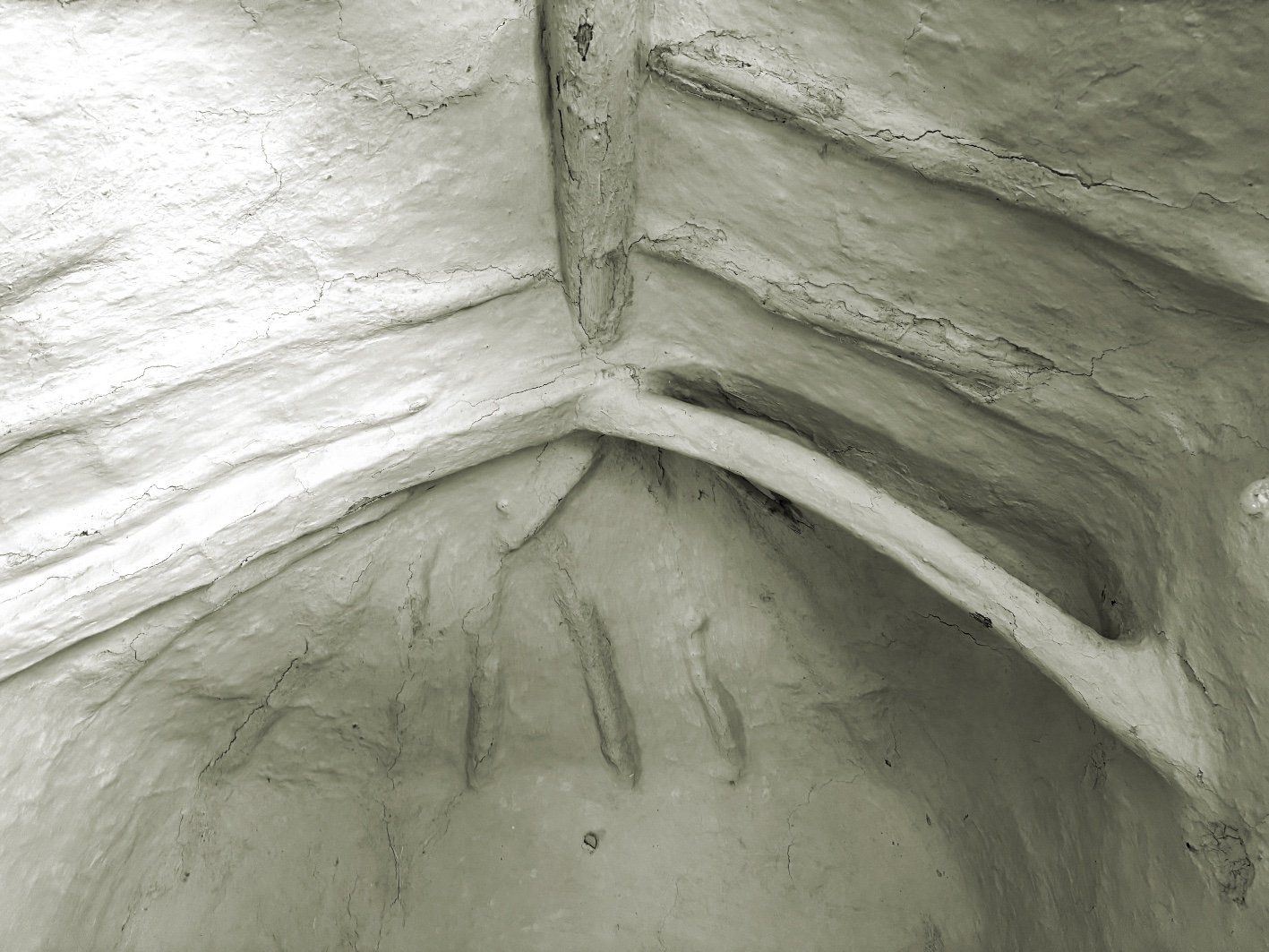
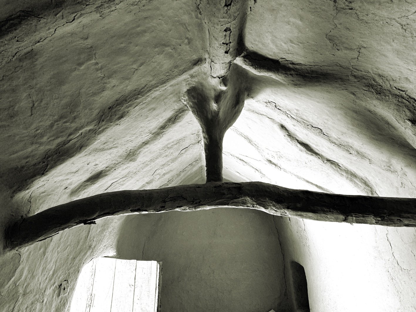
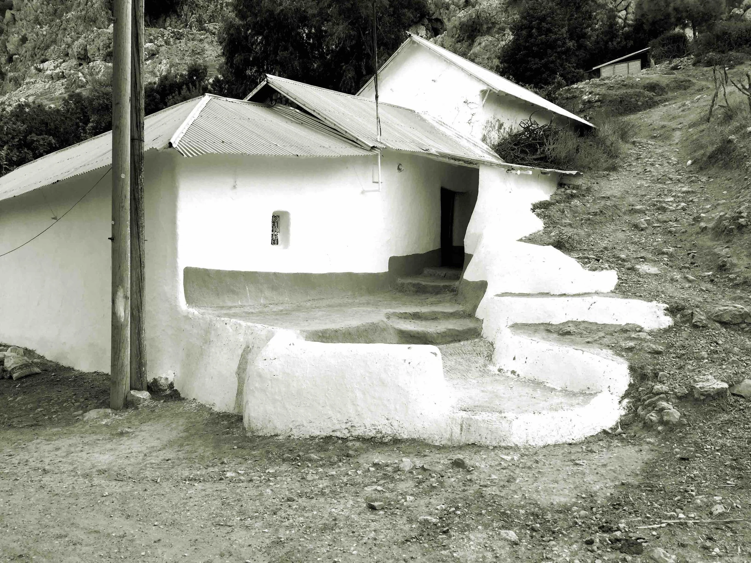
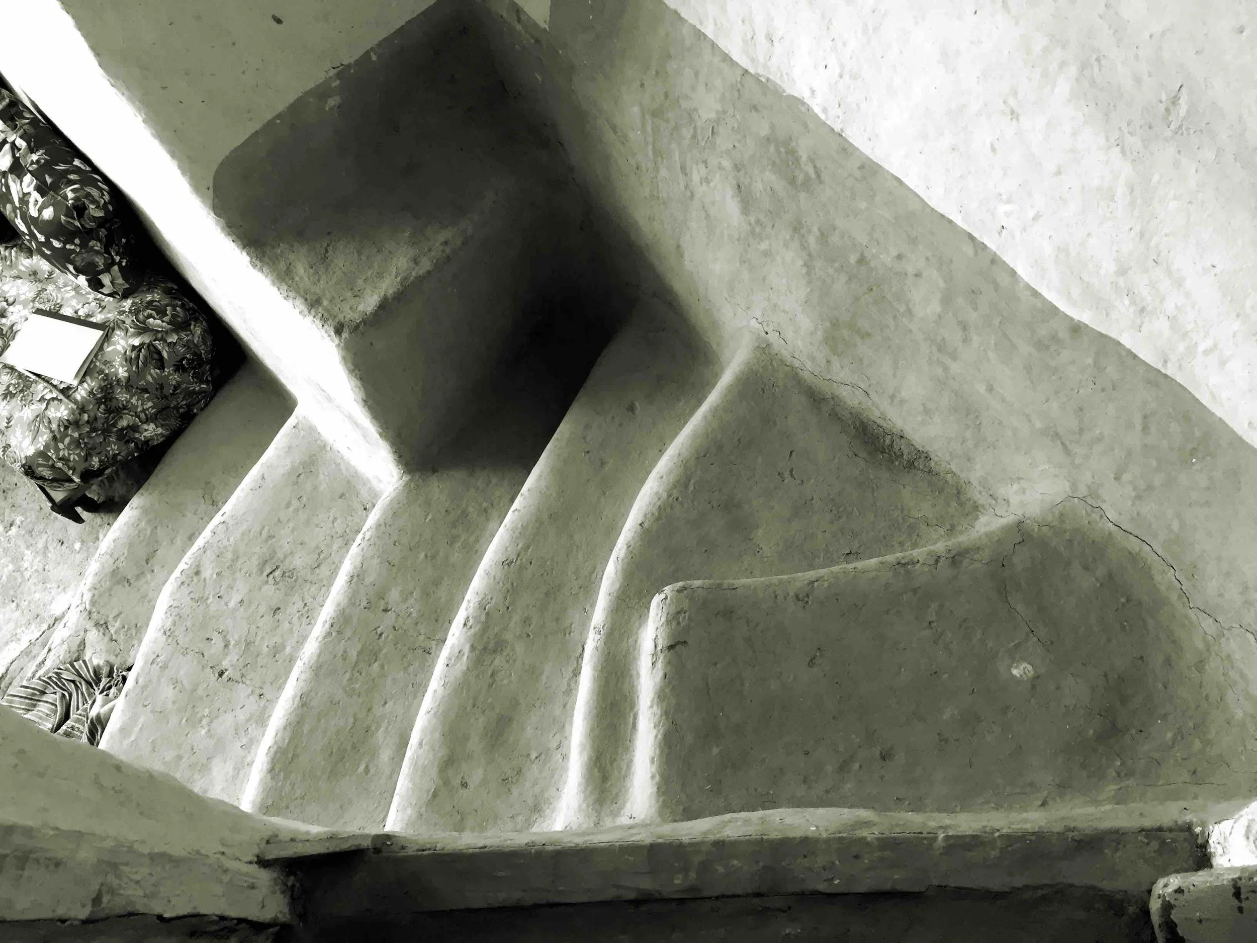
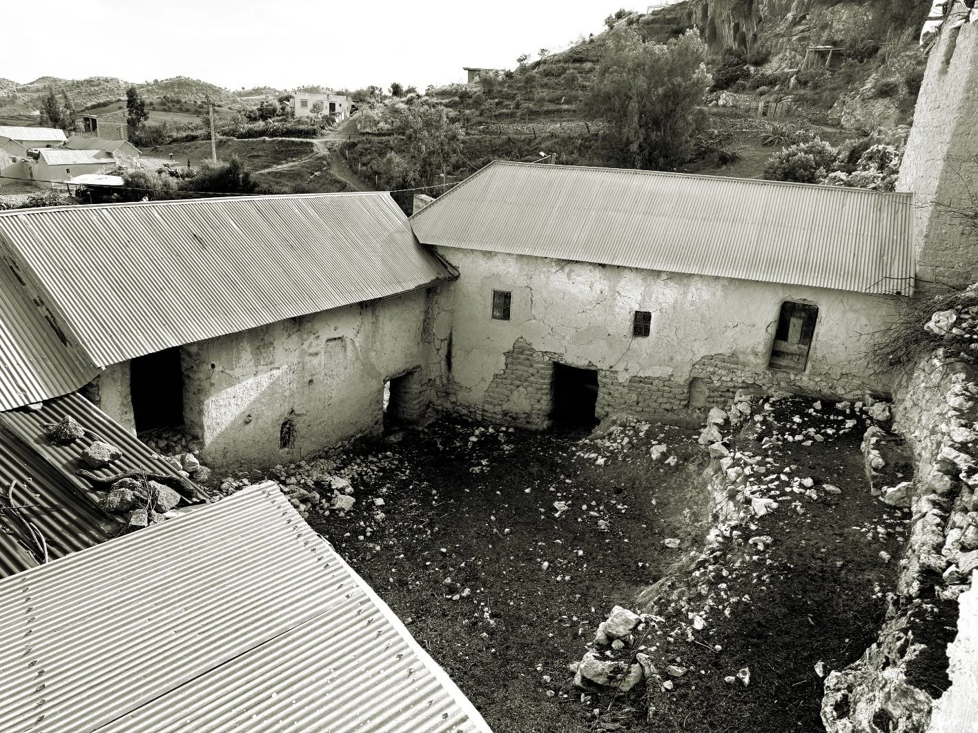
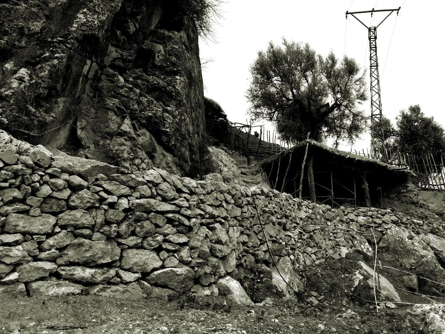
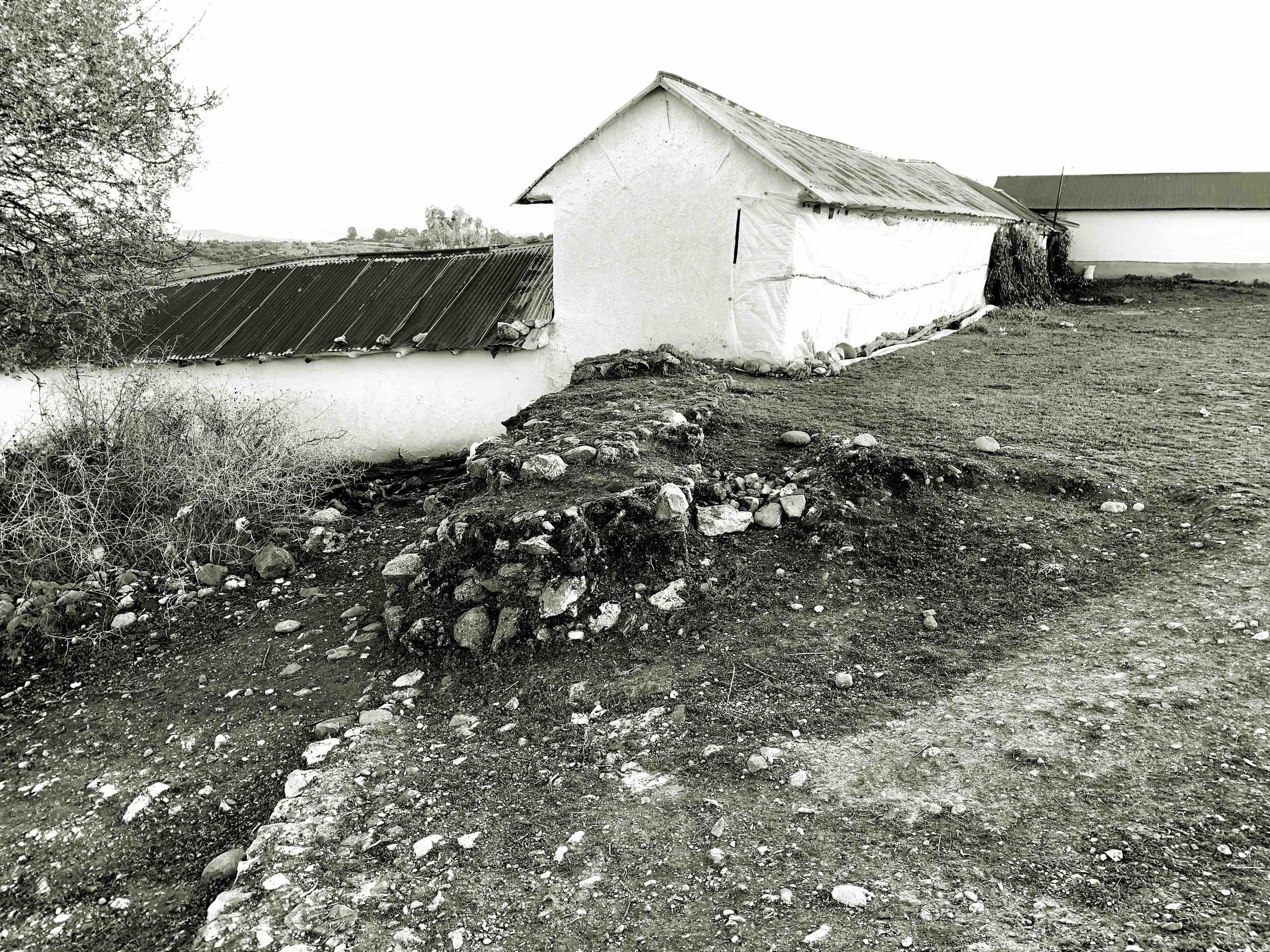
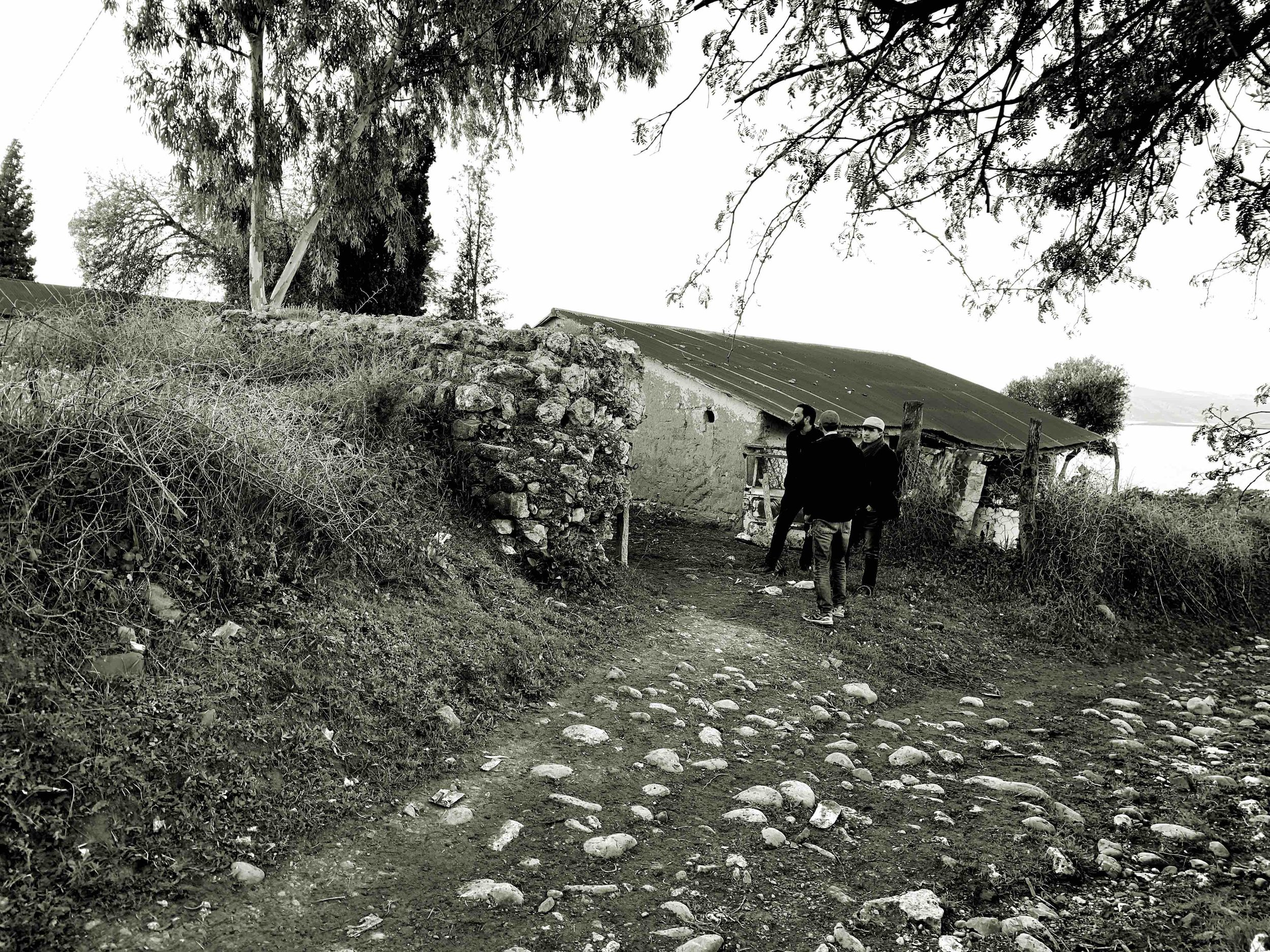
Moulay Bouchta's geographical location is quite unique; it could be said to be located on the southern slopes of the Rif Mountains, on the border between the Tangier-Tetouan-Al Hoceima and Fez-Meknes regions, a geographical area where the plain meets the first foothills of the Rif Mountains. This positioning on two geological substrates offers diverse building materials: clay soil and stone. Furthermore, the lands intended for olive cultivation provide wood for the construction of the roof structures of the buildings, which are covered with a sand and lime plaster, both vertically and horizontally, with a white-beige tone that imprints a characteristic image on the region's architecture (today, corrugated zinc sheets have replaced traditional roof coverings).
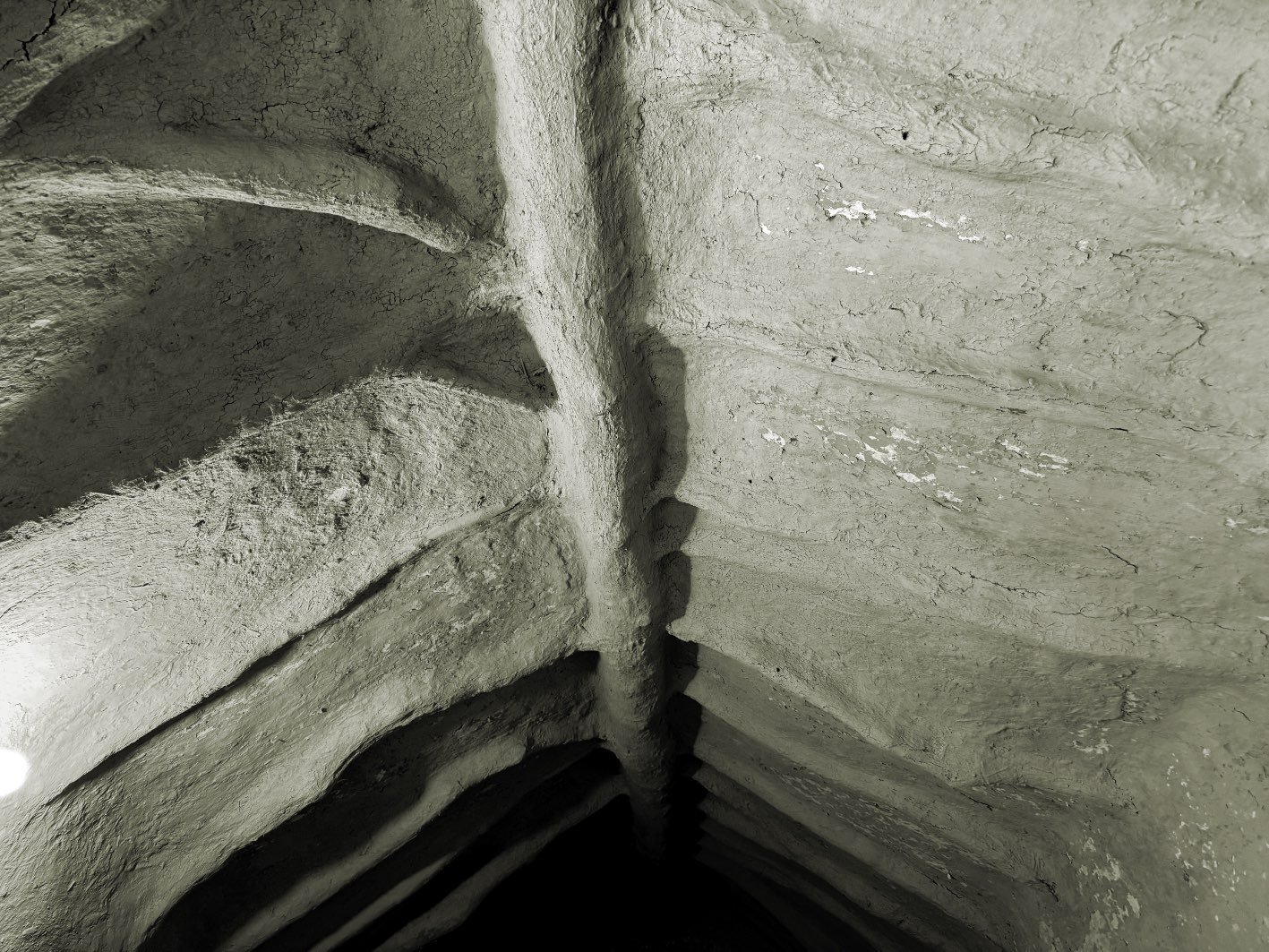
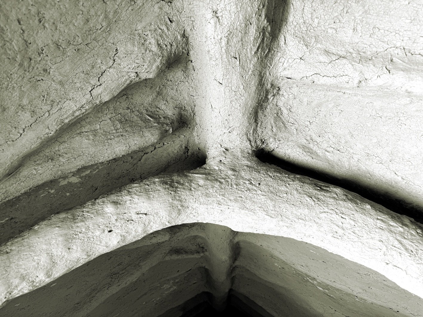
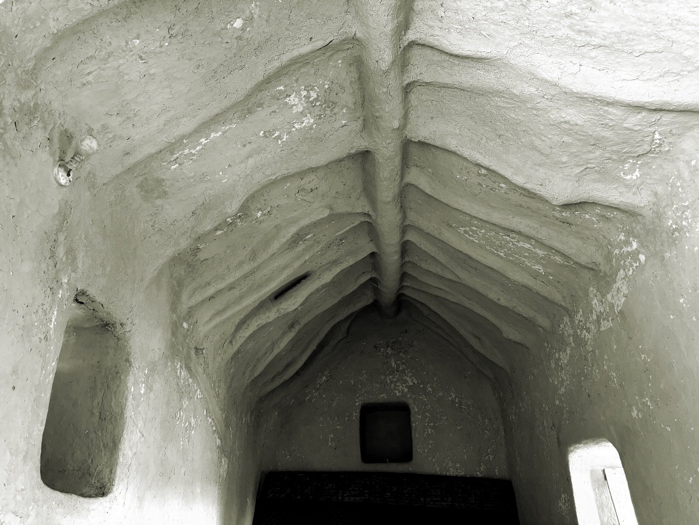
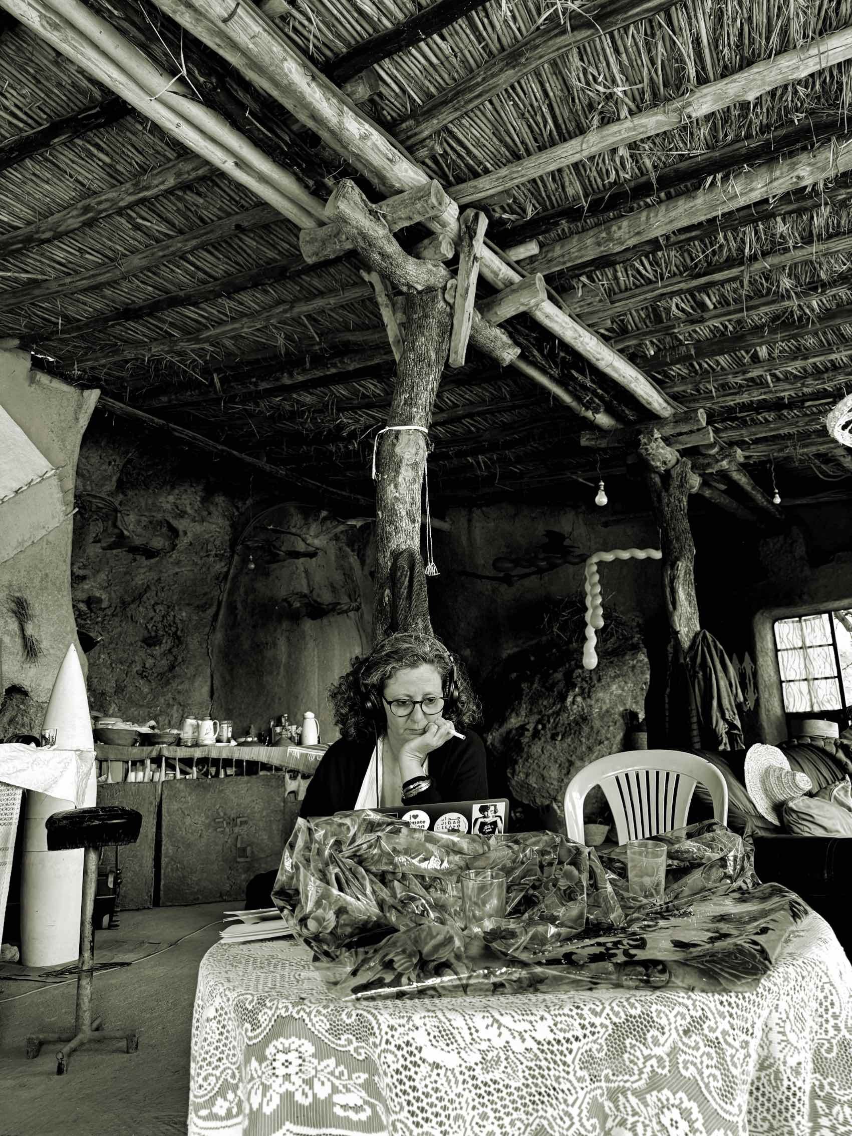
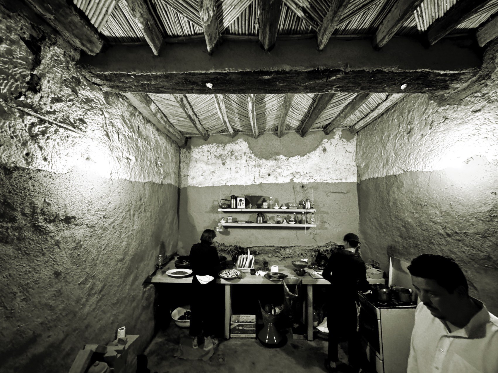
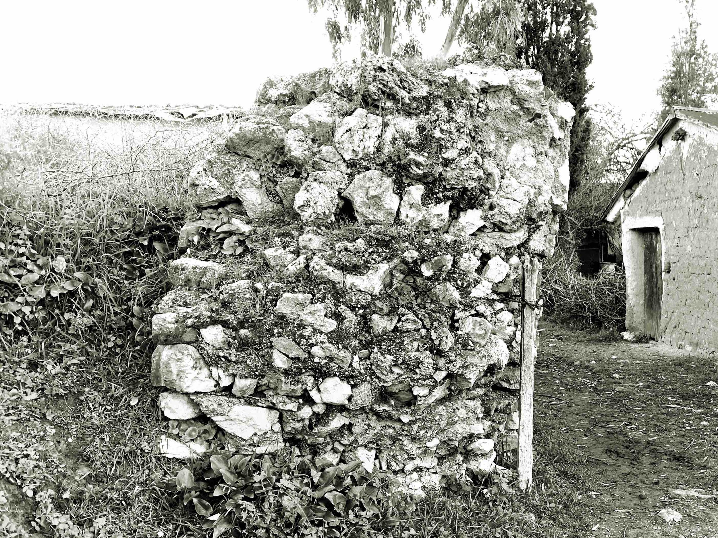
However, we find, in a general way, houses built with rammed earth and adobe, with an average width of 3 meters inside the rooms, with double-pitched roofs (to drain rainwater) that rest on an olive wood frame. The small volumes adapt to the rocky topography by creating small platforms.


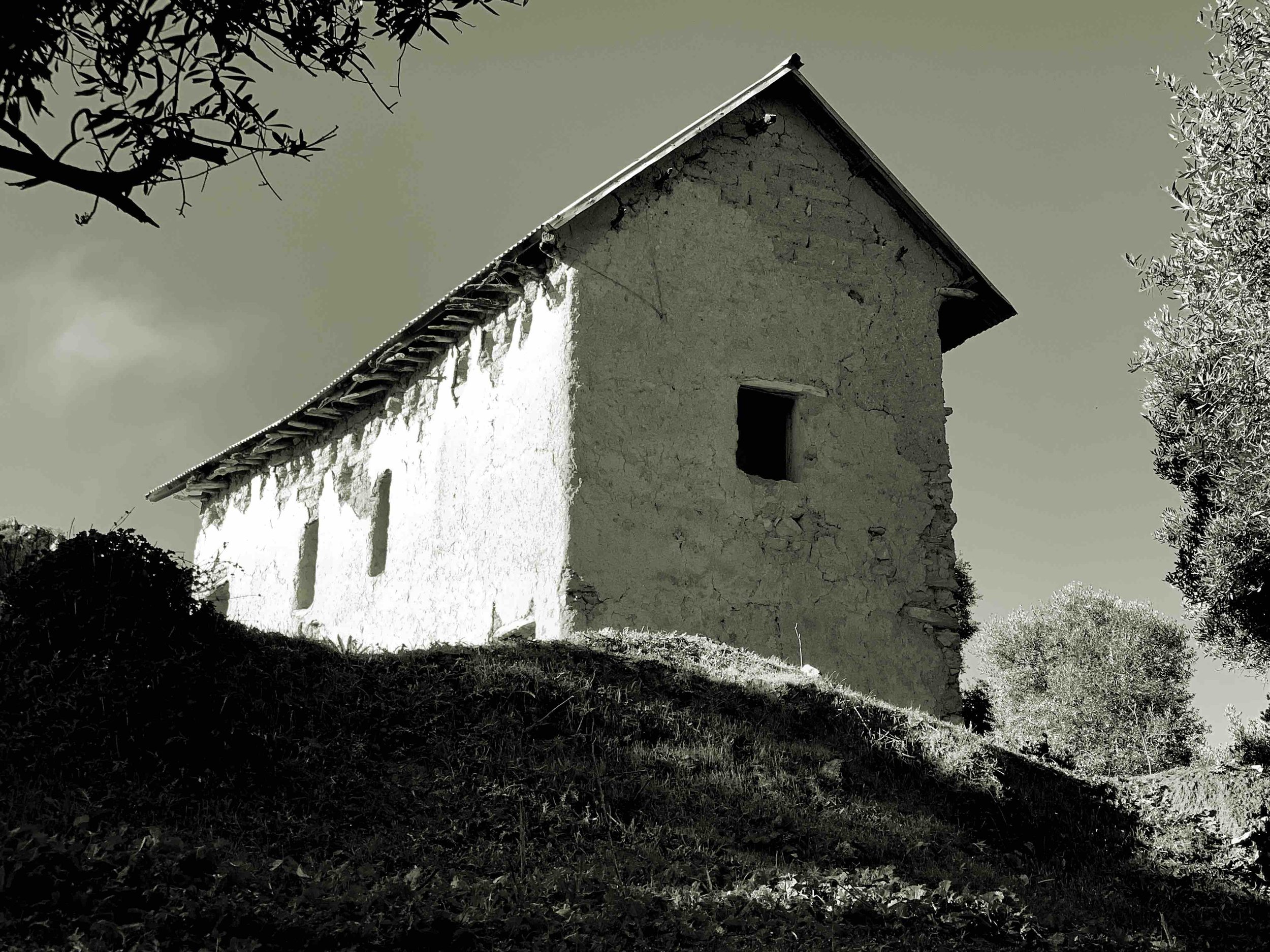


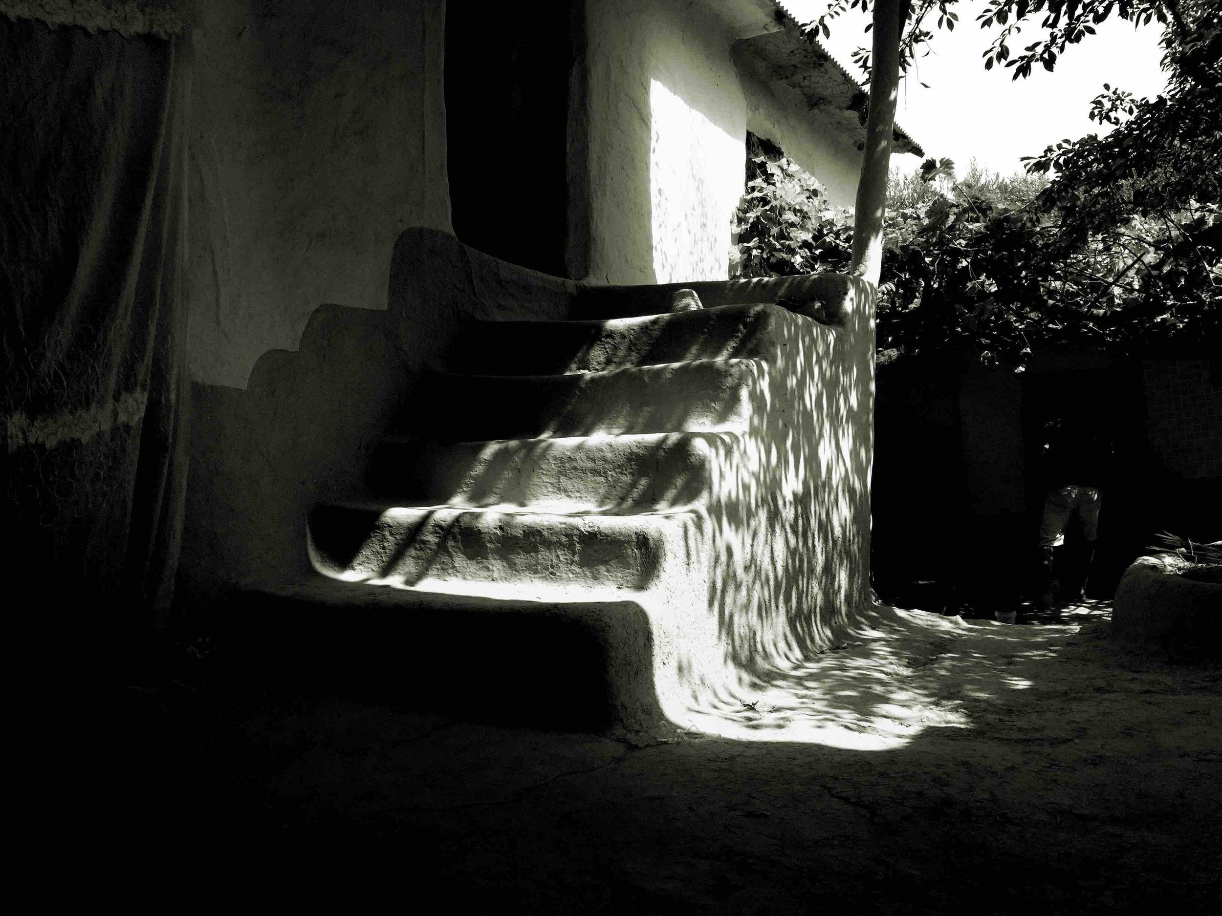
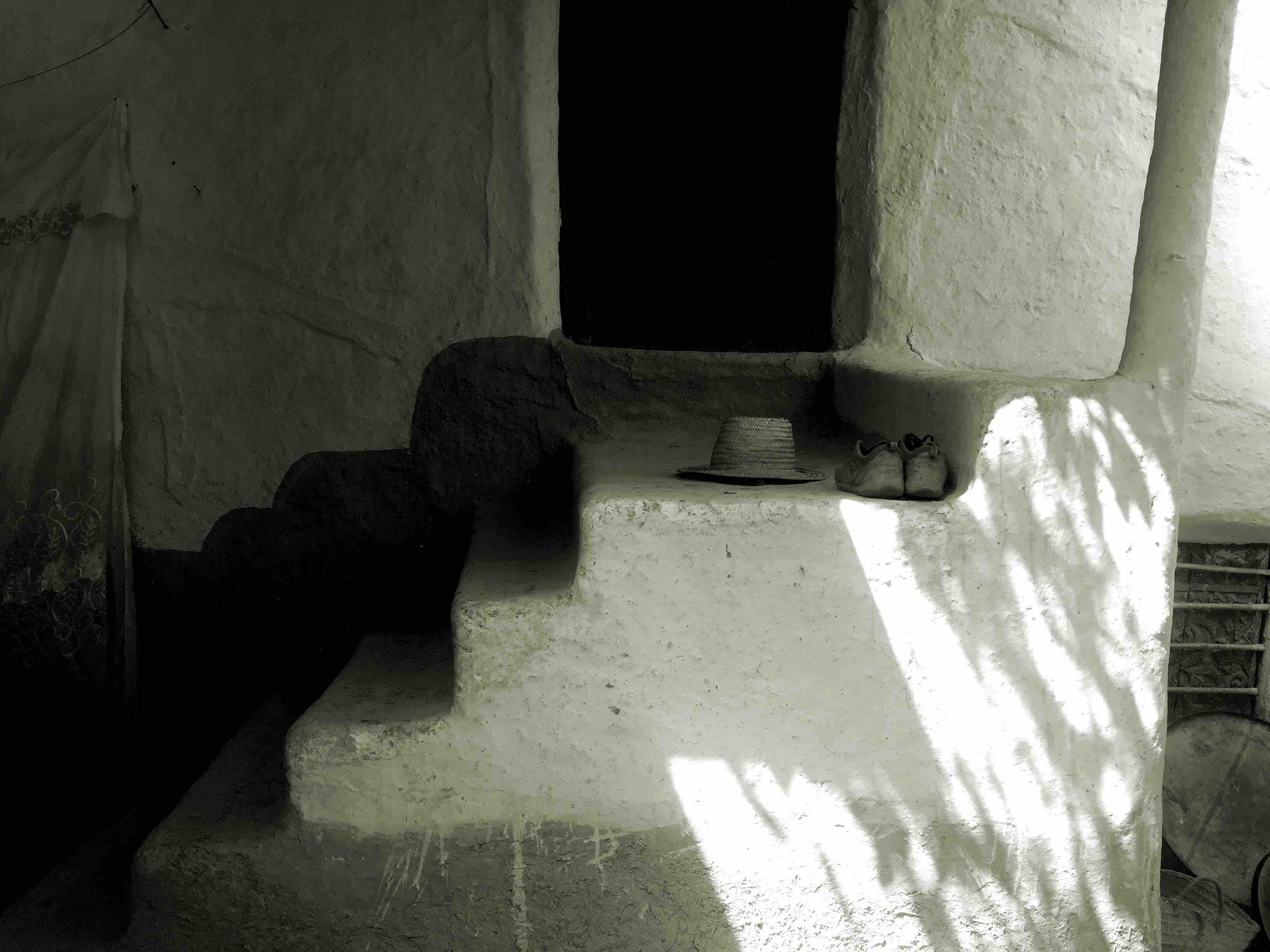
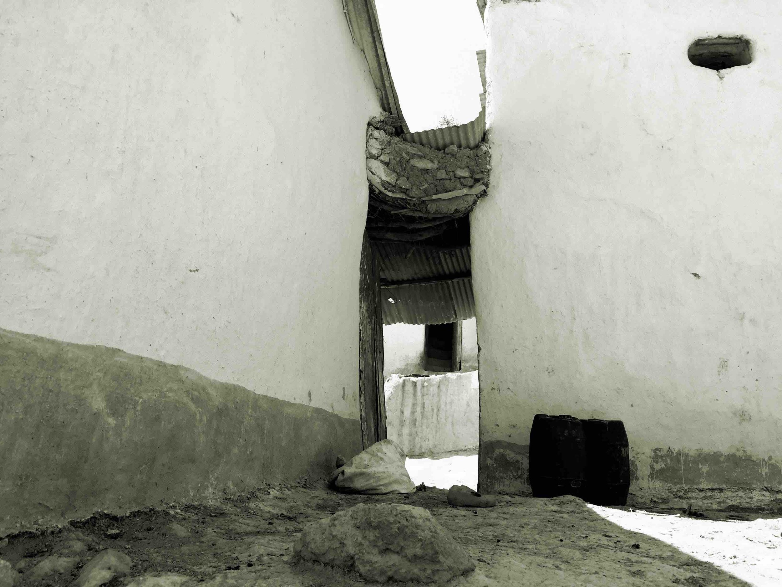
The constraints related to the dimensions of the wood and the need to create the largest possible spaces, translate into the construction of quite particular frames, given the irregularity of the trunks and branches of the olive trees, resulting in unique volumes and surfaces.
These types of traditional architectures are faced with contemporaneity and consequently with social, cultural and economic changes. This question of adaptation to lifestyles particularly interests me, because it is a subject that I have been following since 2010 in desert regions (whether in the Sahara Desert or in the Arabian Desert). In this regard, the experiments that Abdeljalil carried out in his workshop (in 2017) and in the familiar house (in 2025) are quite revealing, they show us other possibilities when we are not limited by the standardisation to which our brain is accustomed because of regulations, industrialised processes, and fashions.


Perhaps this attitude could be applied to desert construction systems, particularly with regard to wooden structures. In 2013, I imagined three-dimensional structures based on palm wood beams, the most common structural element in rammed earth and adobe houses, and metal elements to connect them. This solution could allow spans beyond 3 meters, one of the reasons why ksour inhabitants abandon their homes (the rooms are very narrow). The current alternative is the use of reinforced concrete for the main beams (with beams always made of palm wood or eucalyptus logs), cut palm trunks (and not cut into 4 sectors) or poplar trunks (they can reach 8 meters in span but are only found in regions where the main tree of the oasis is the poplar, such as in Kelaat-M'Gouna in Tinghir).


03.2 Landscape
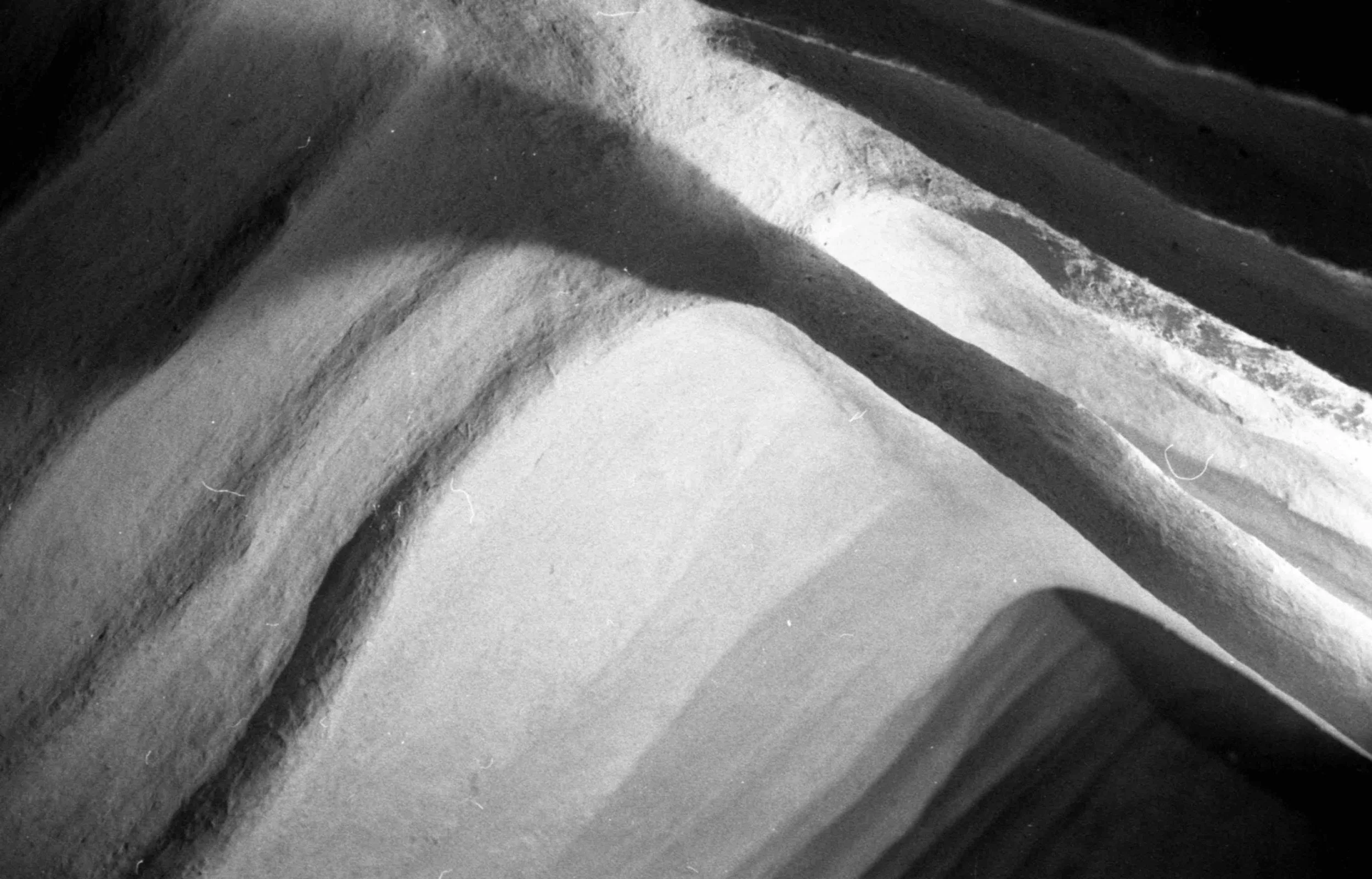
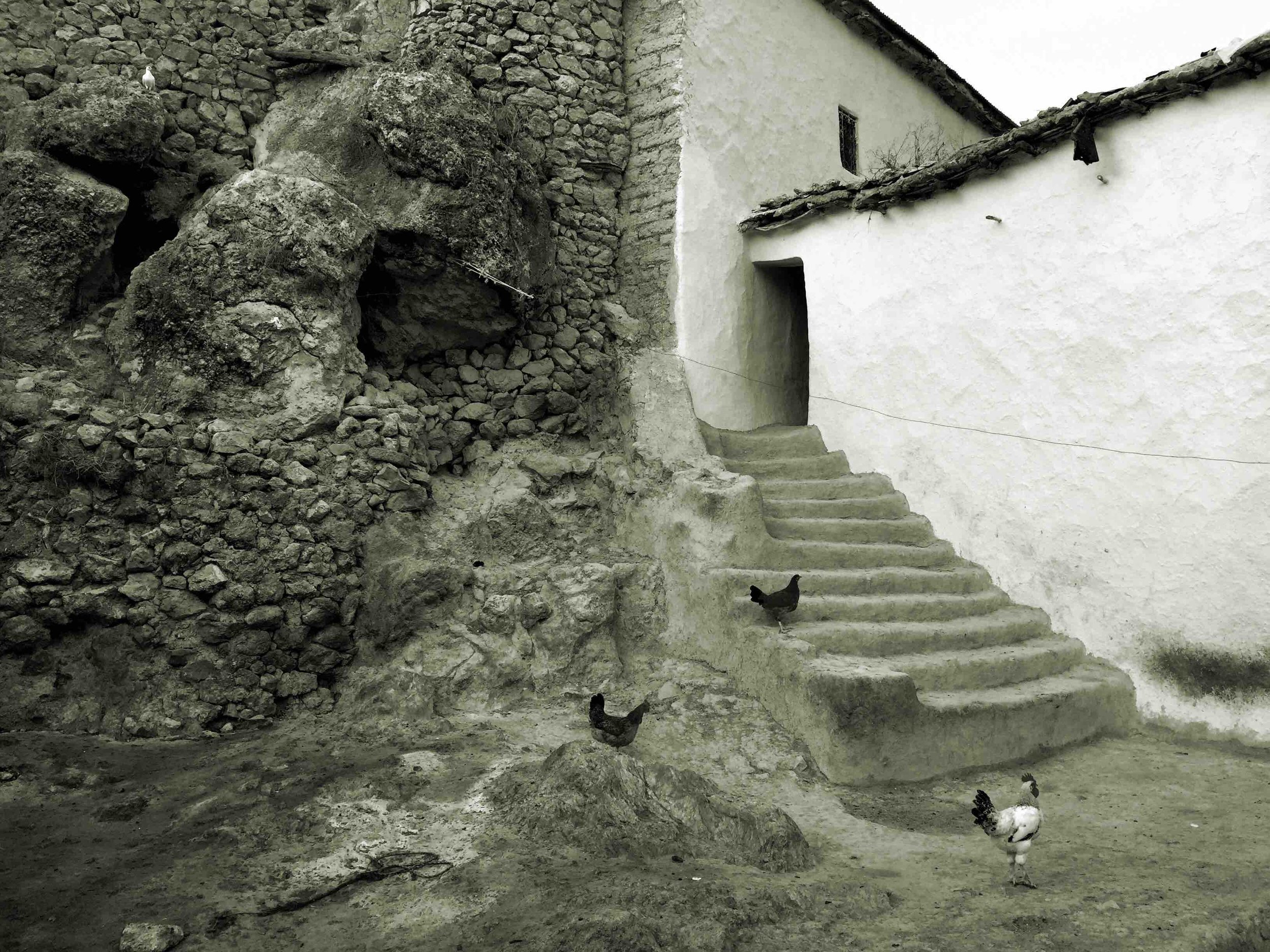
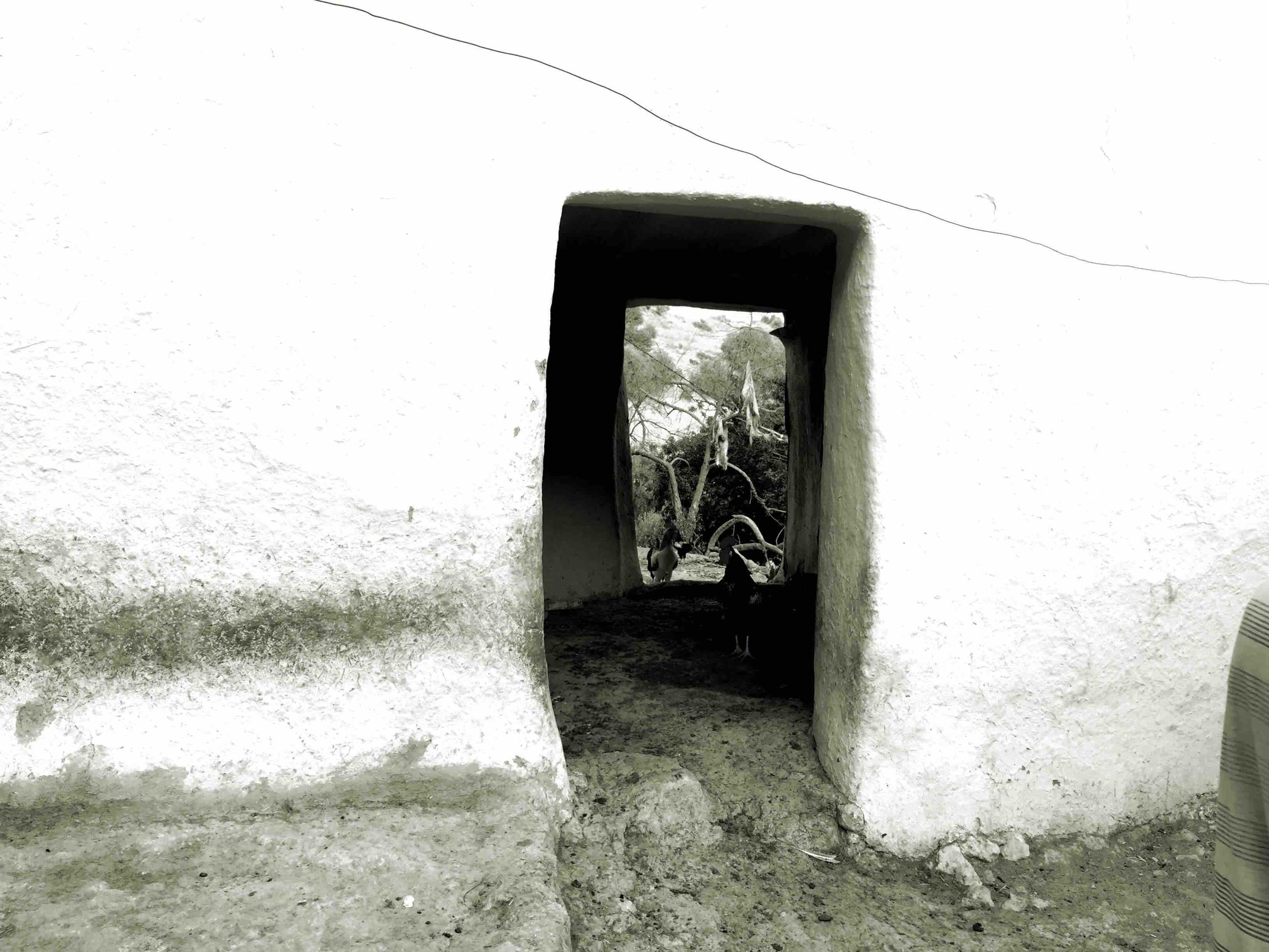
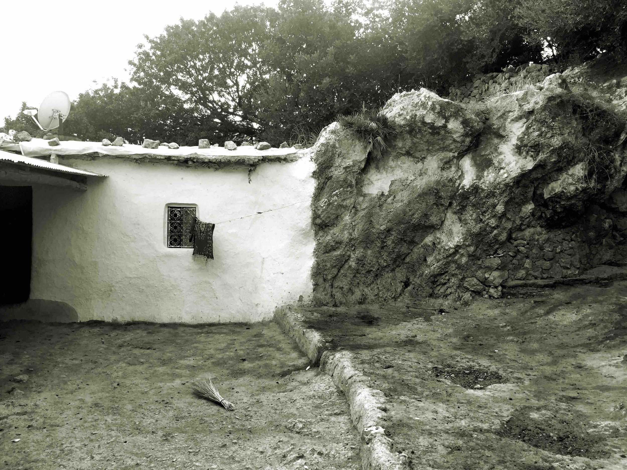
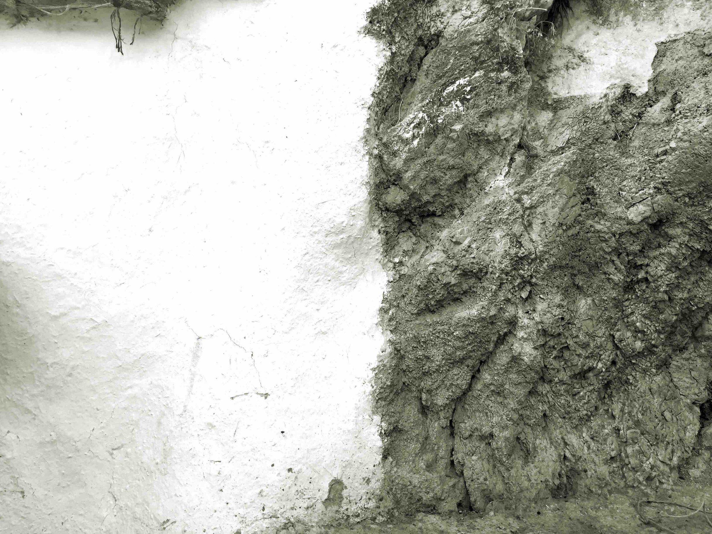
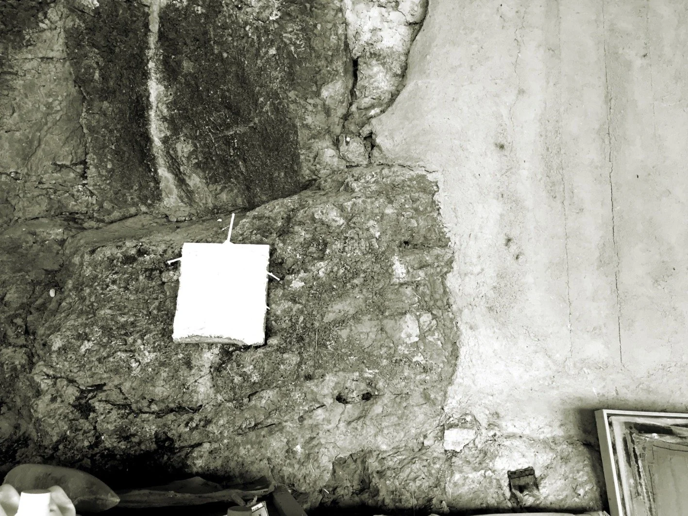
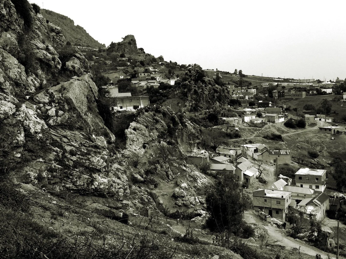
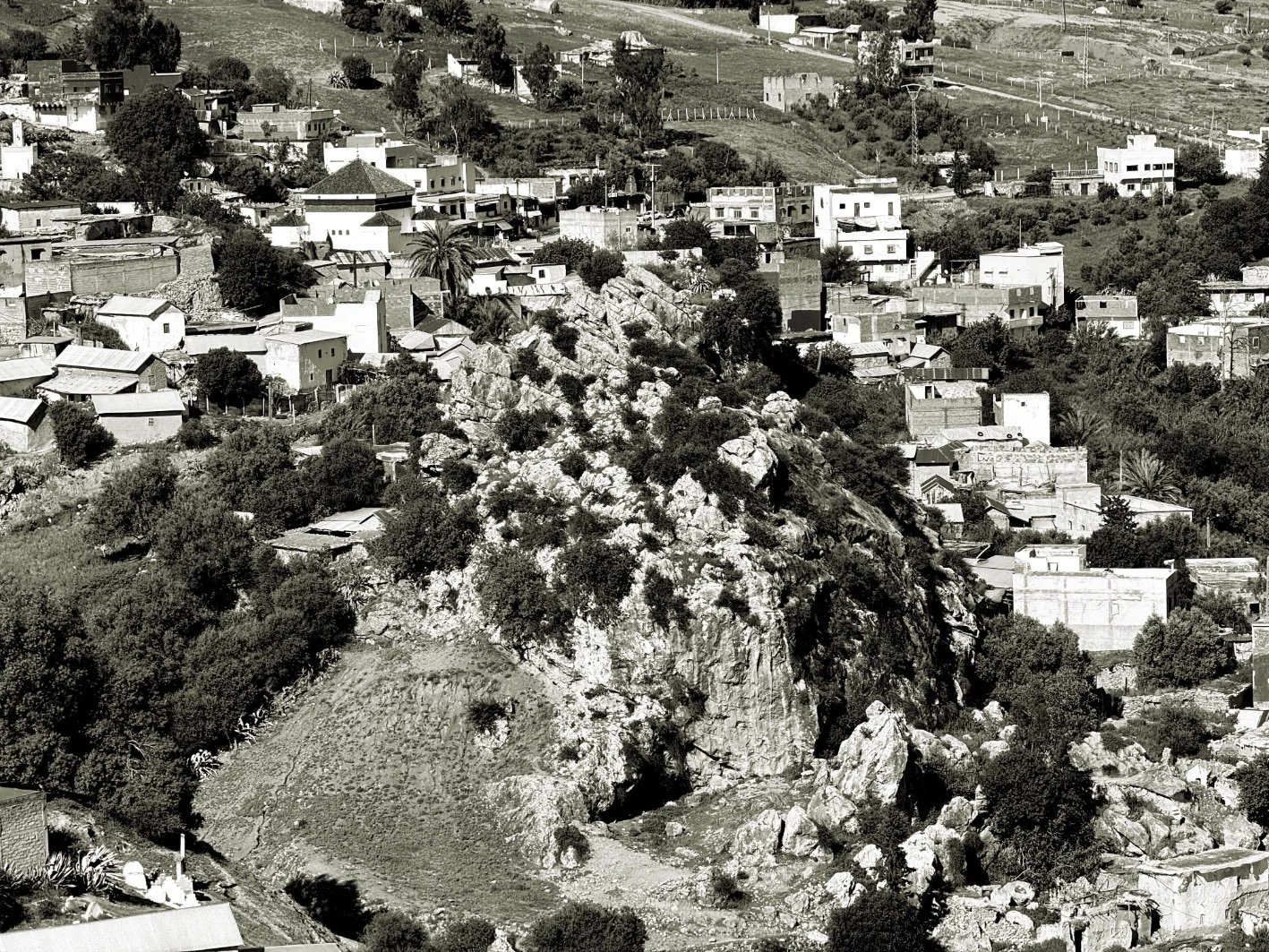
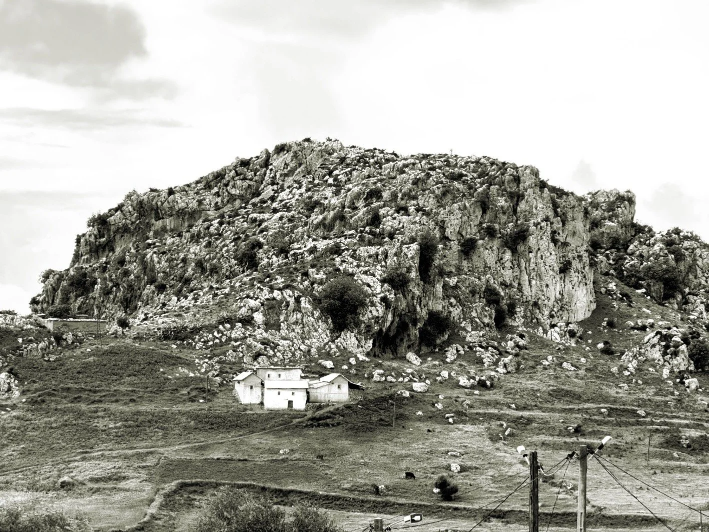
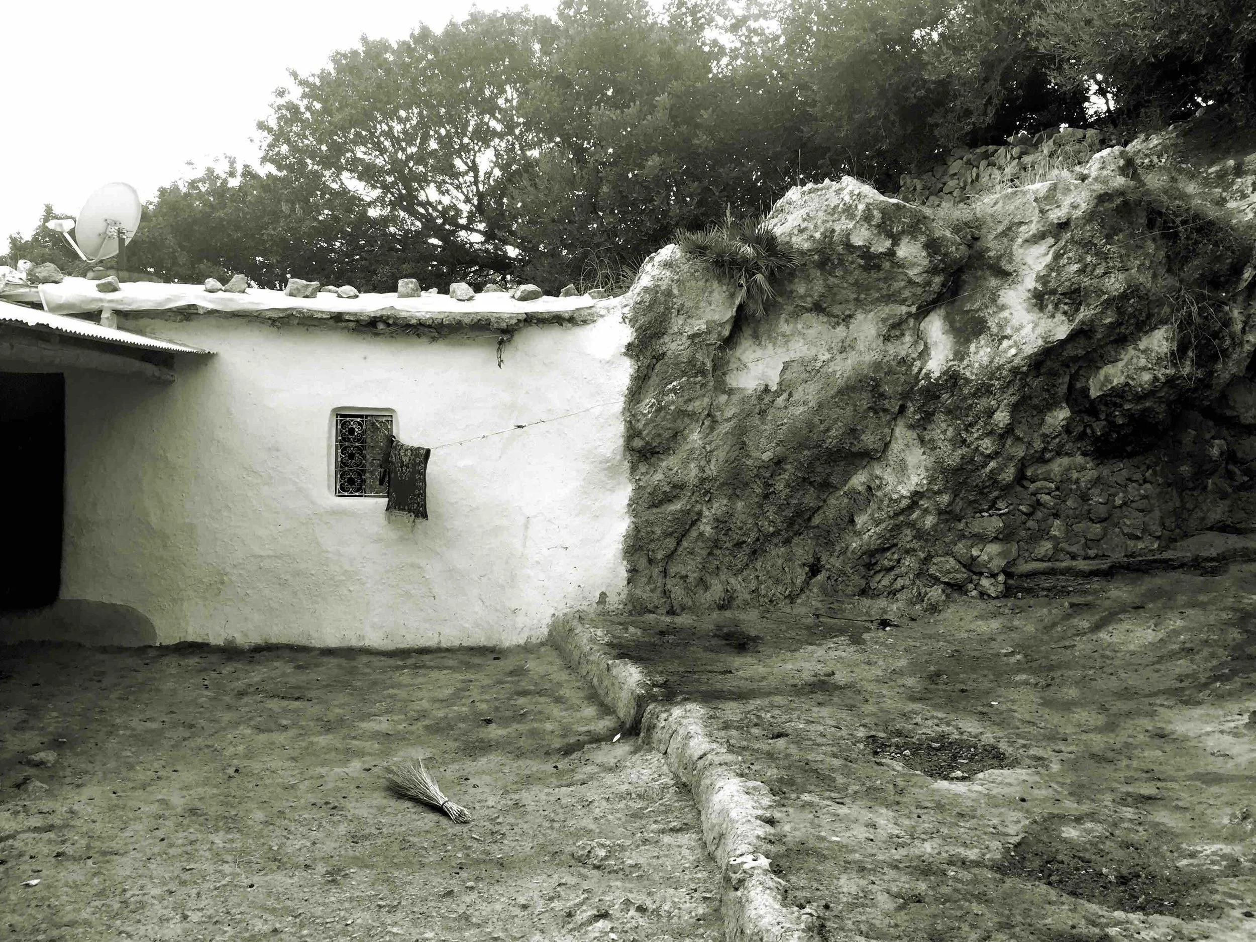
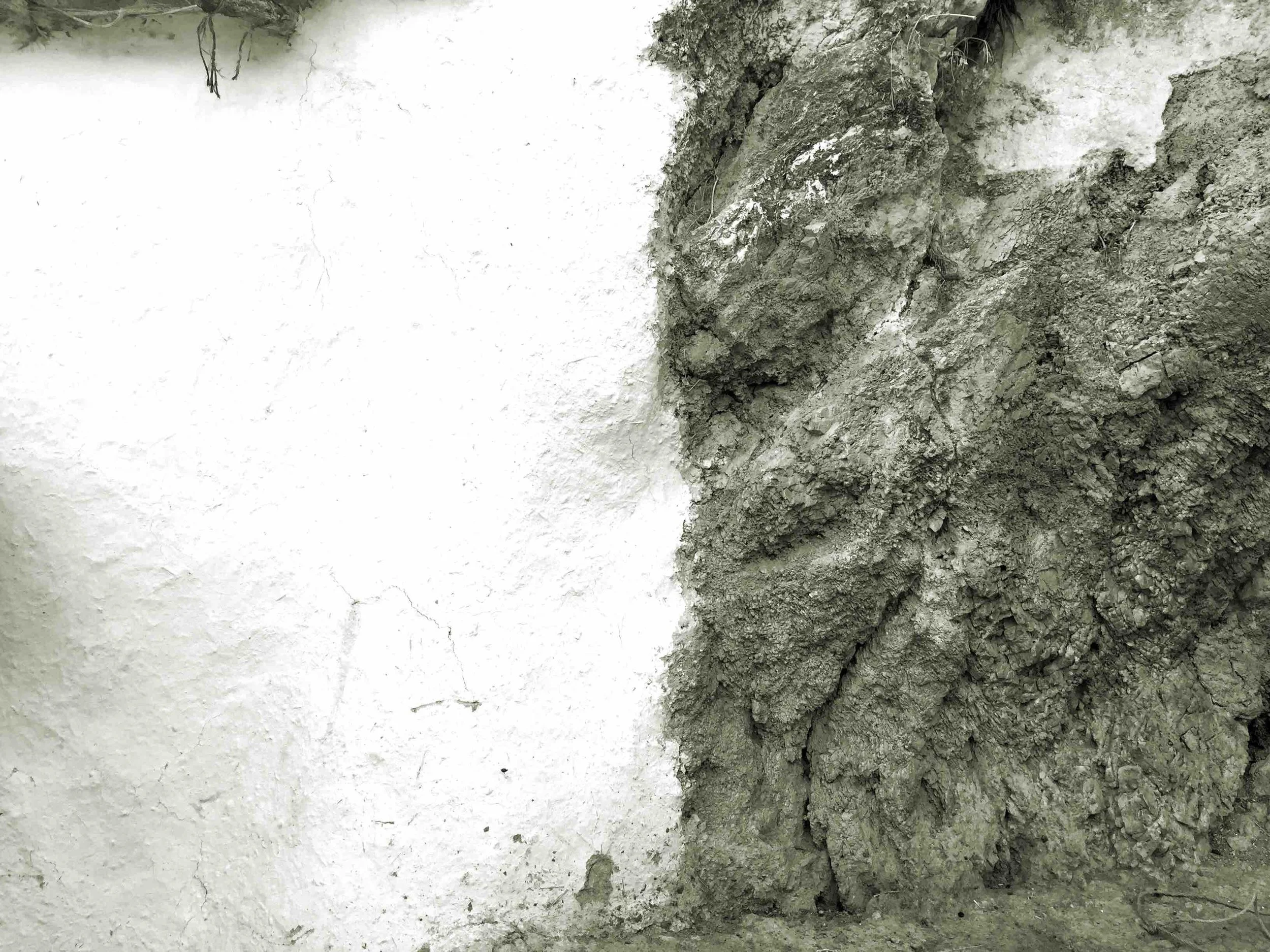
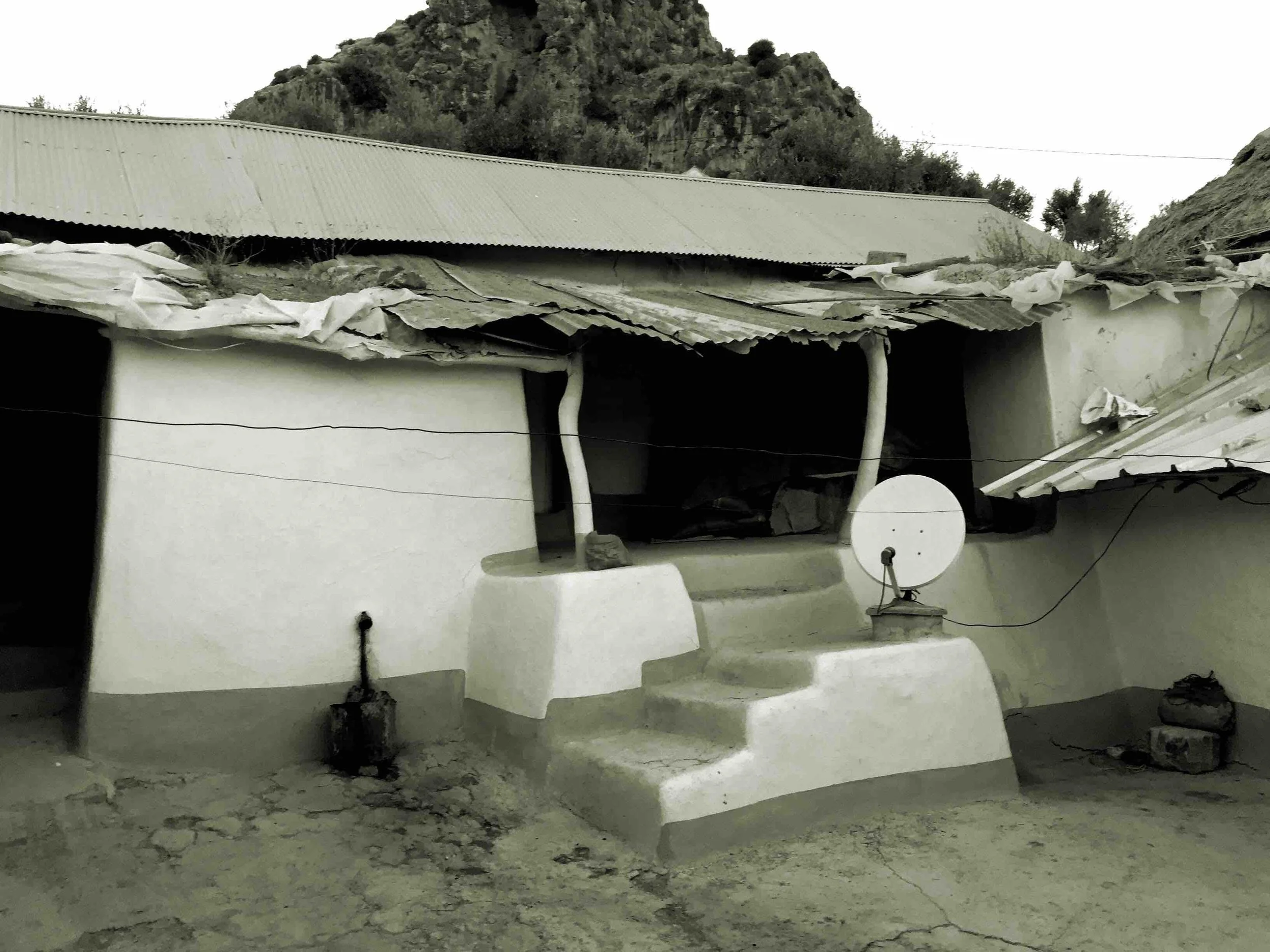
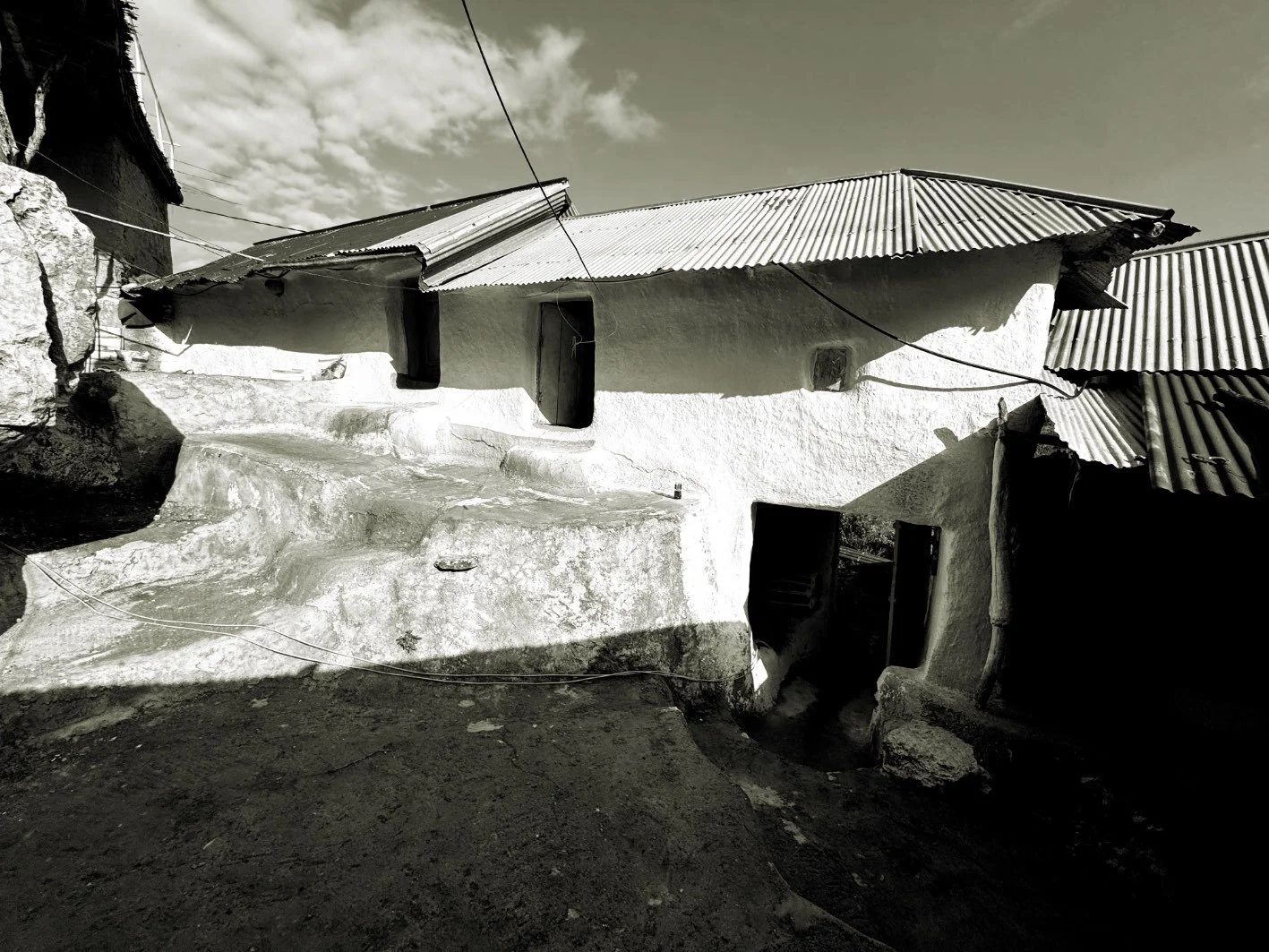
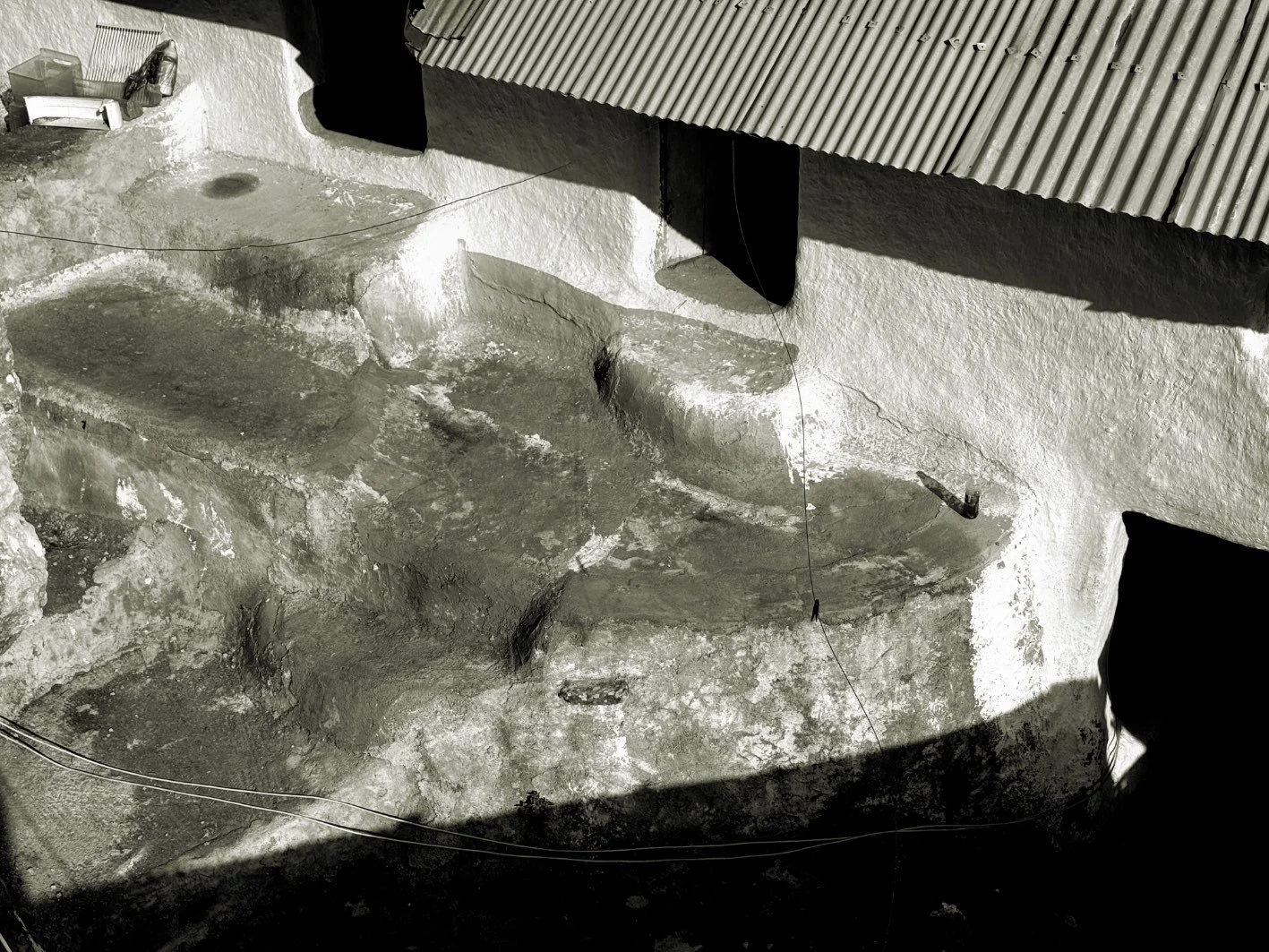
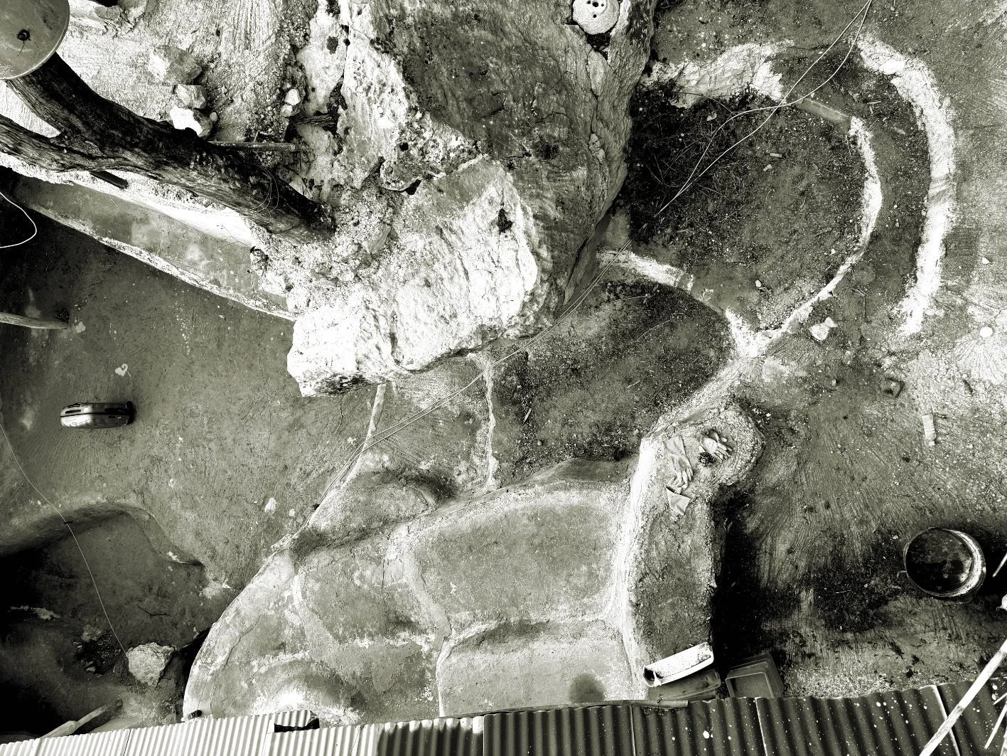
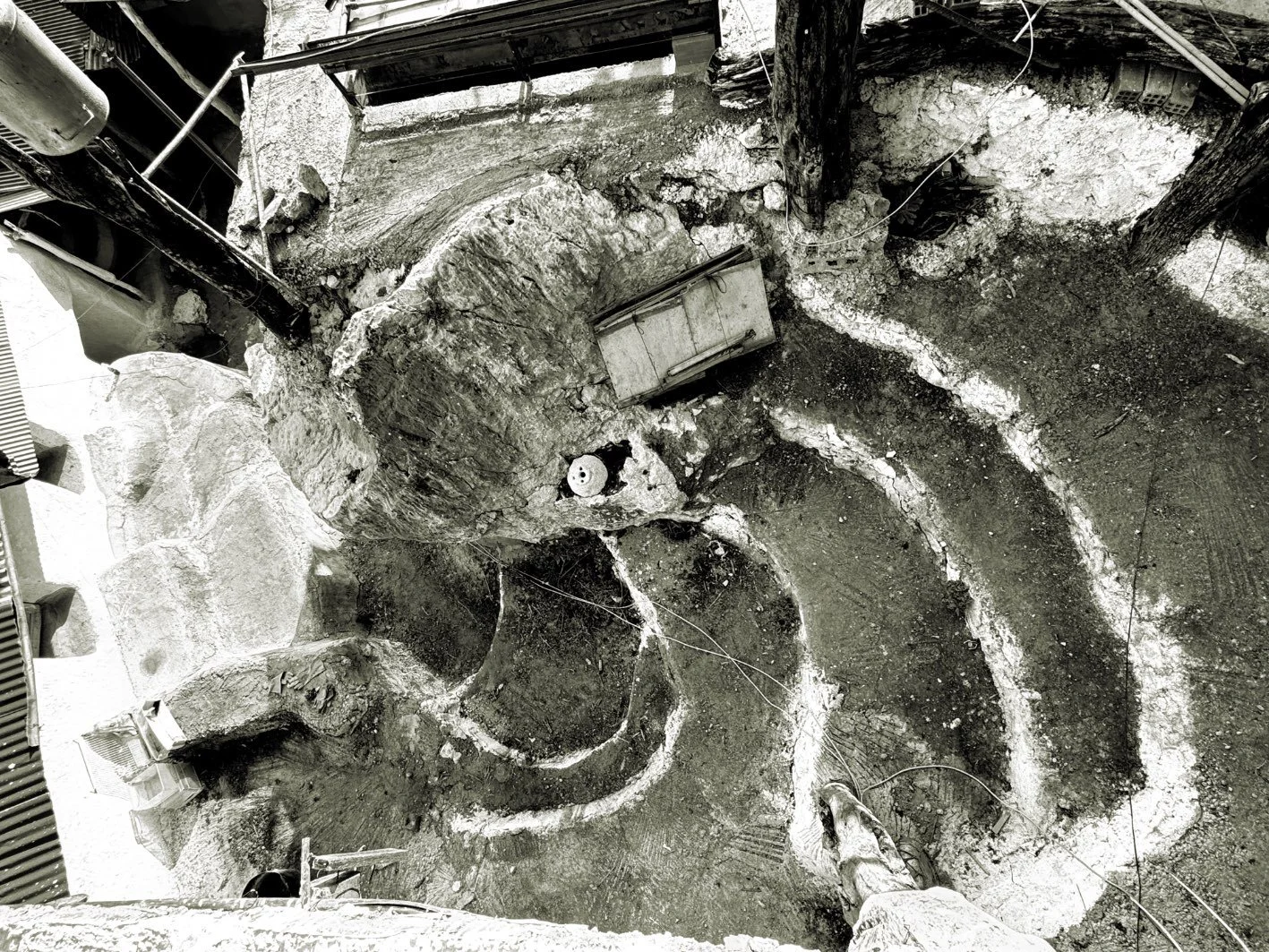
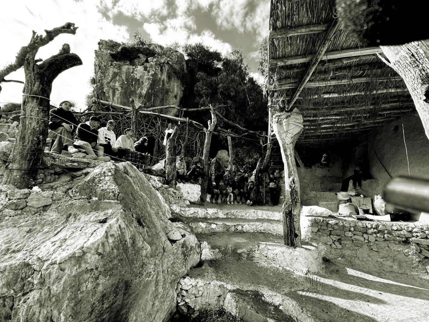
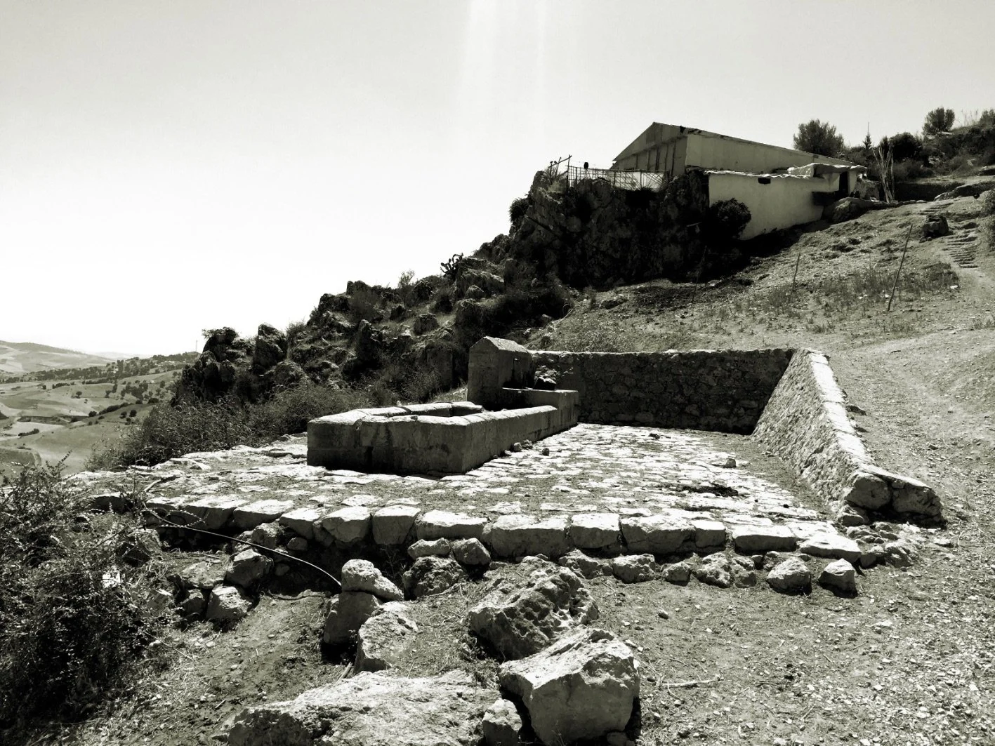
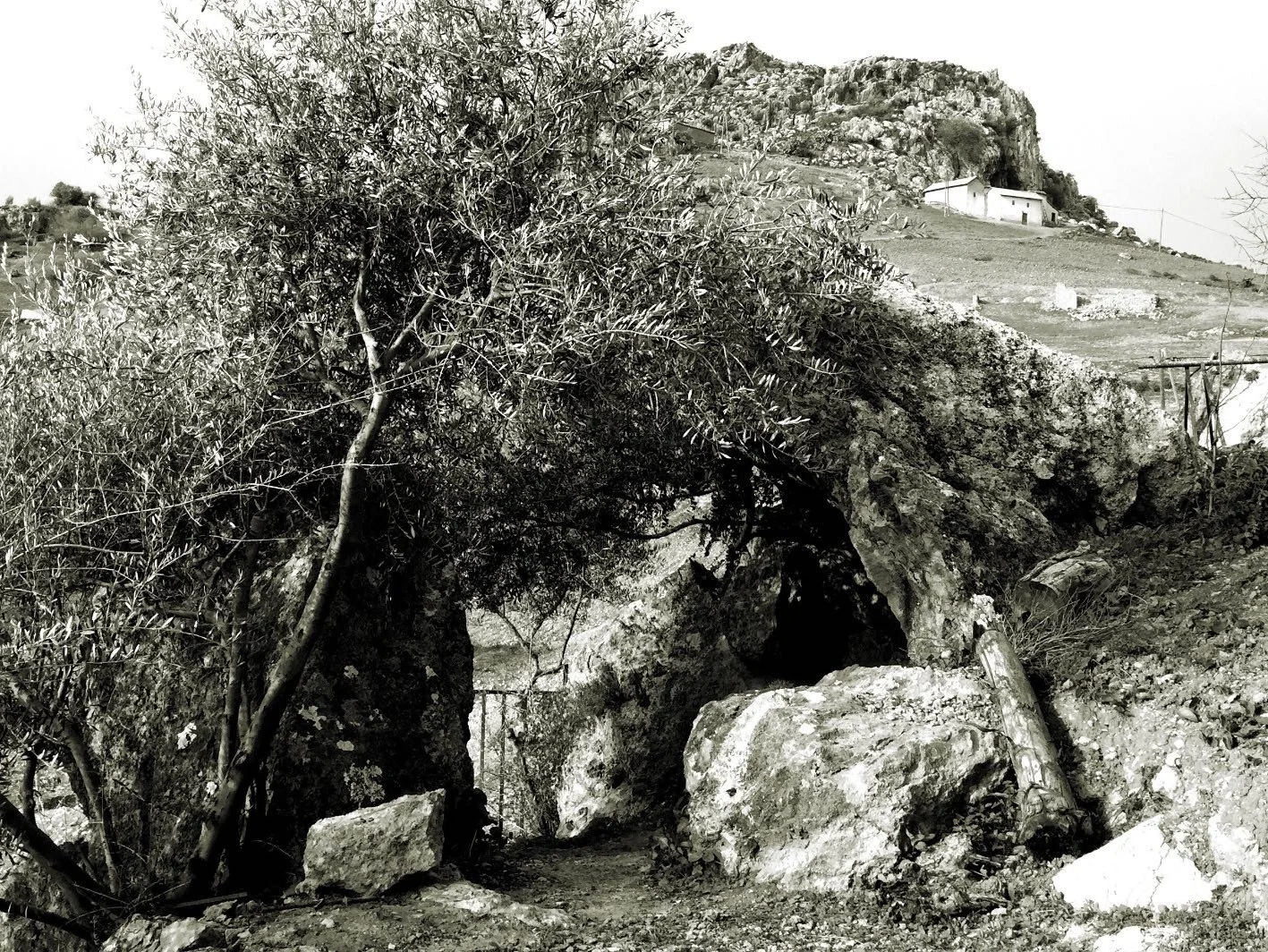
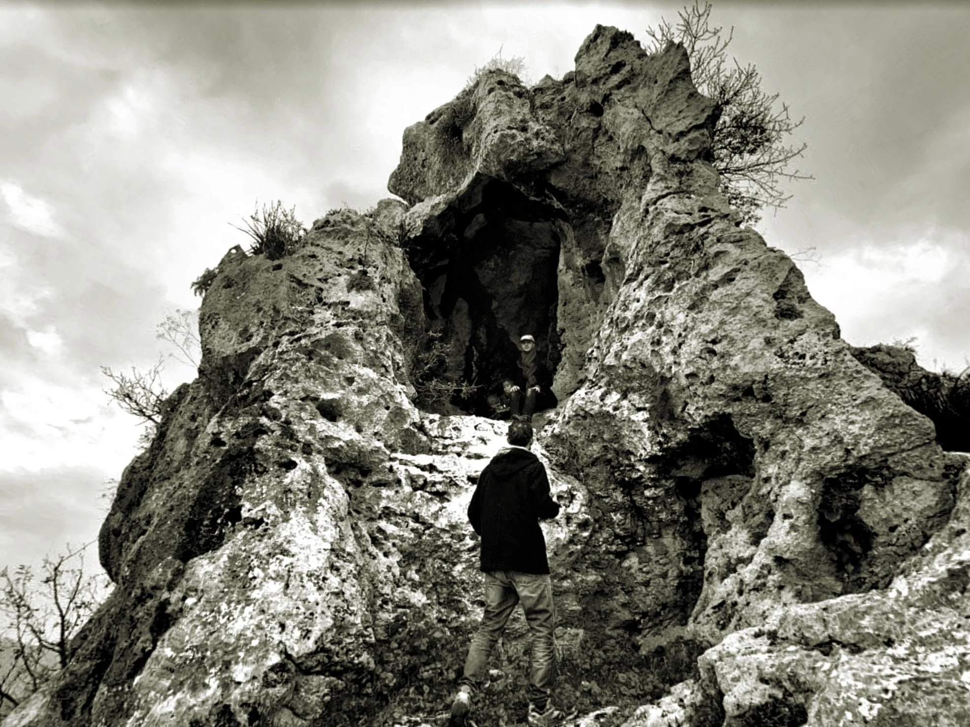
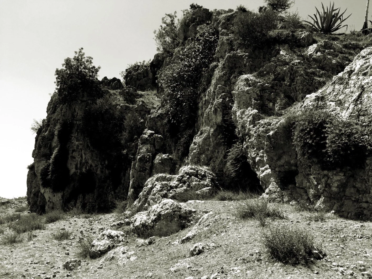
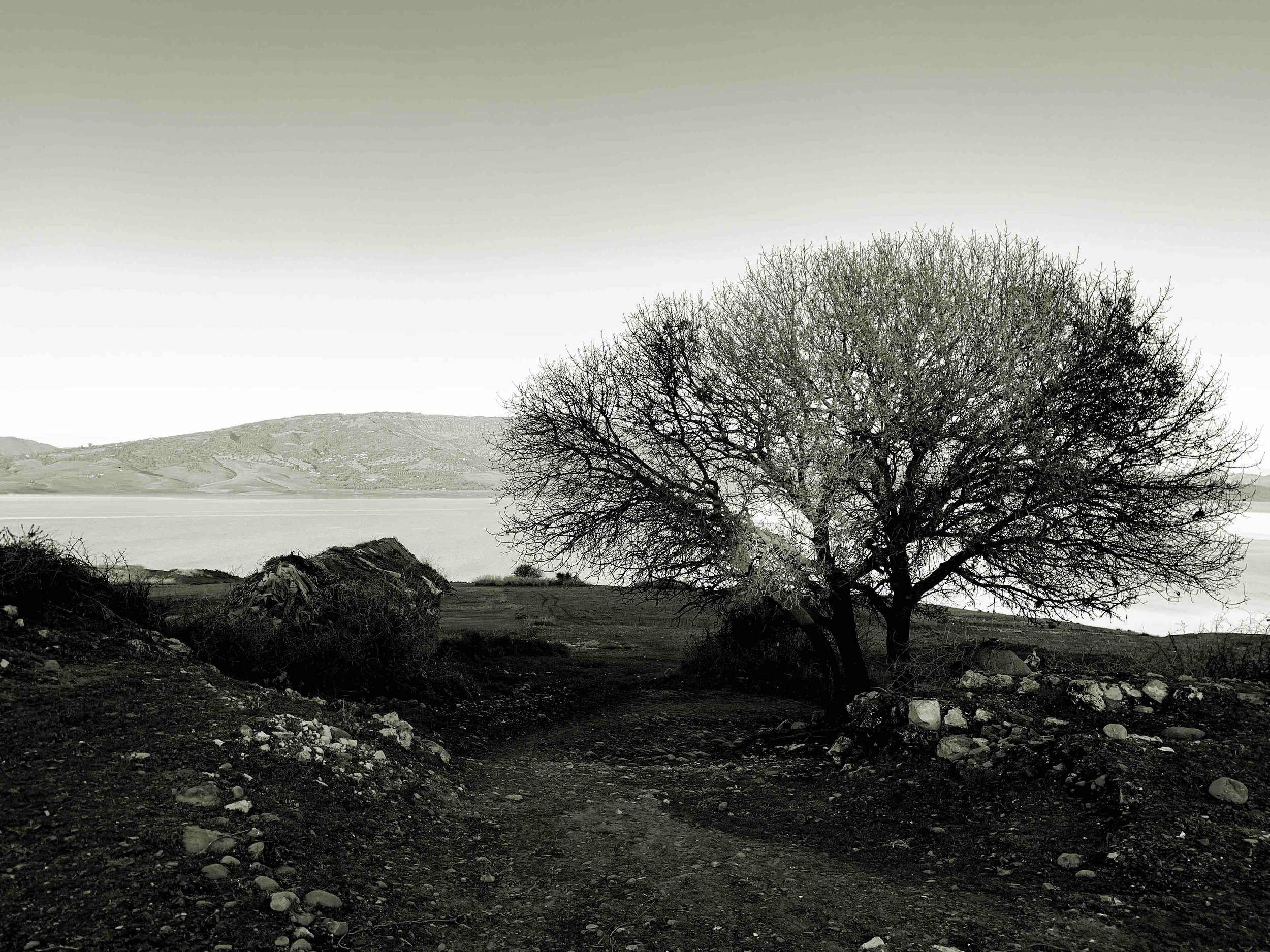
At the top of this page I mentioned how the geological characteristics of the region have a direct relationship with the building materials and consequently with the architectural volumes and spaces. However, this orography also has an architectural role; it is also capable of creating architectural volumes and spaces, alone or in "collaboration" with "artificial architecture". Moreover, the presence in the landscape of elements such as large rocks that dominate the landscape as if they were kasbahs for the control of the territory, is perhaps the main characteristic of Moulay Bouchta al-Khamar and its surroundings.
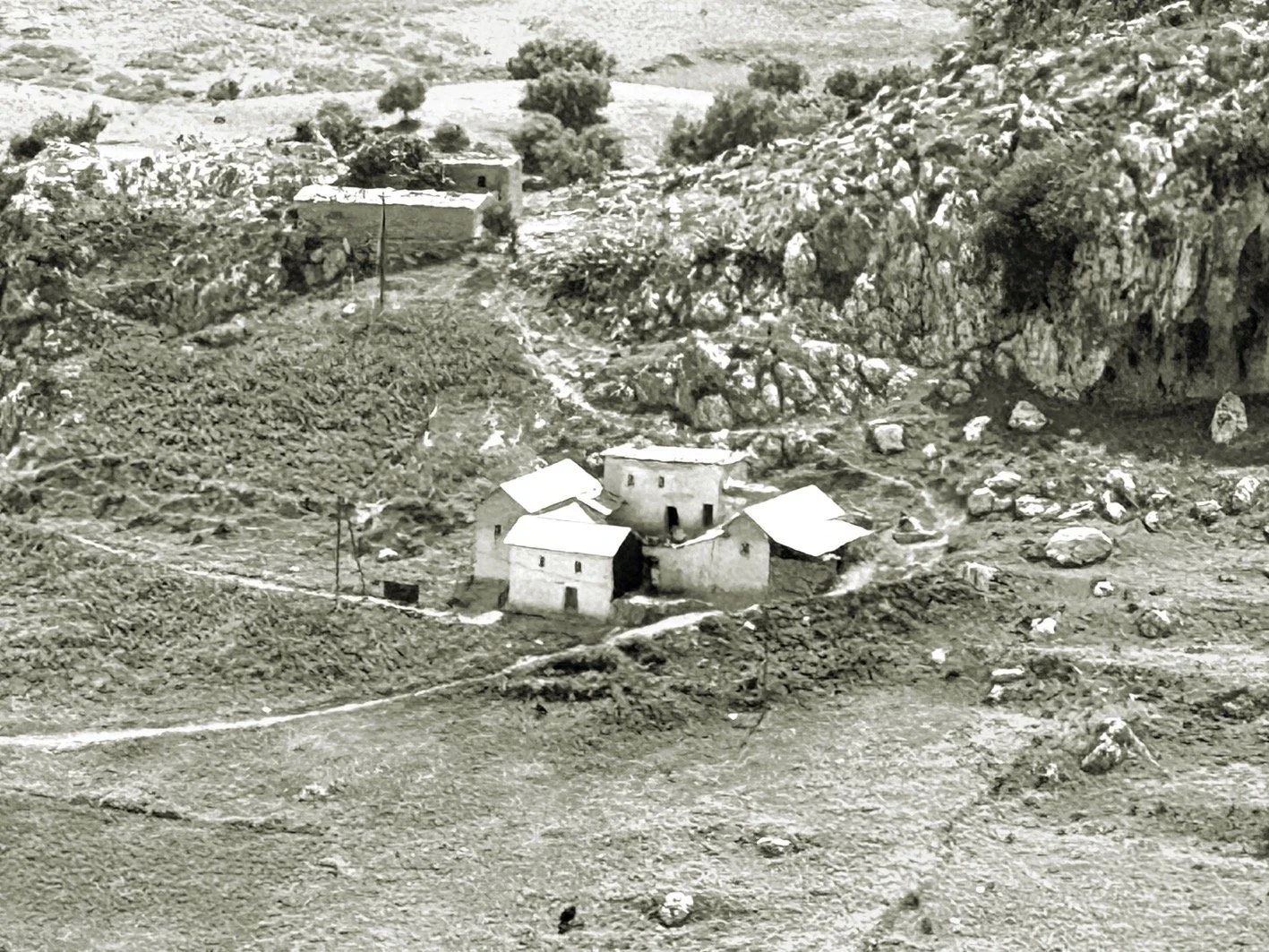
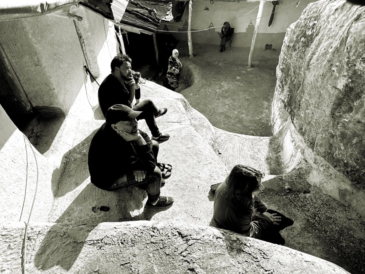
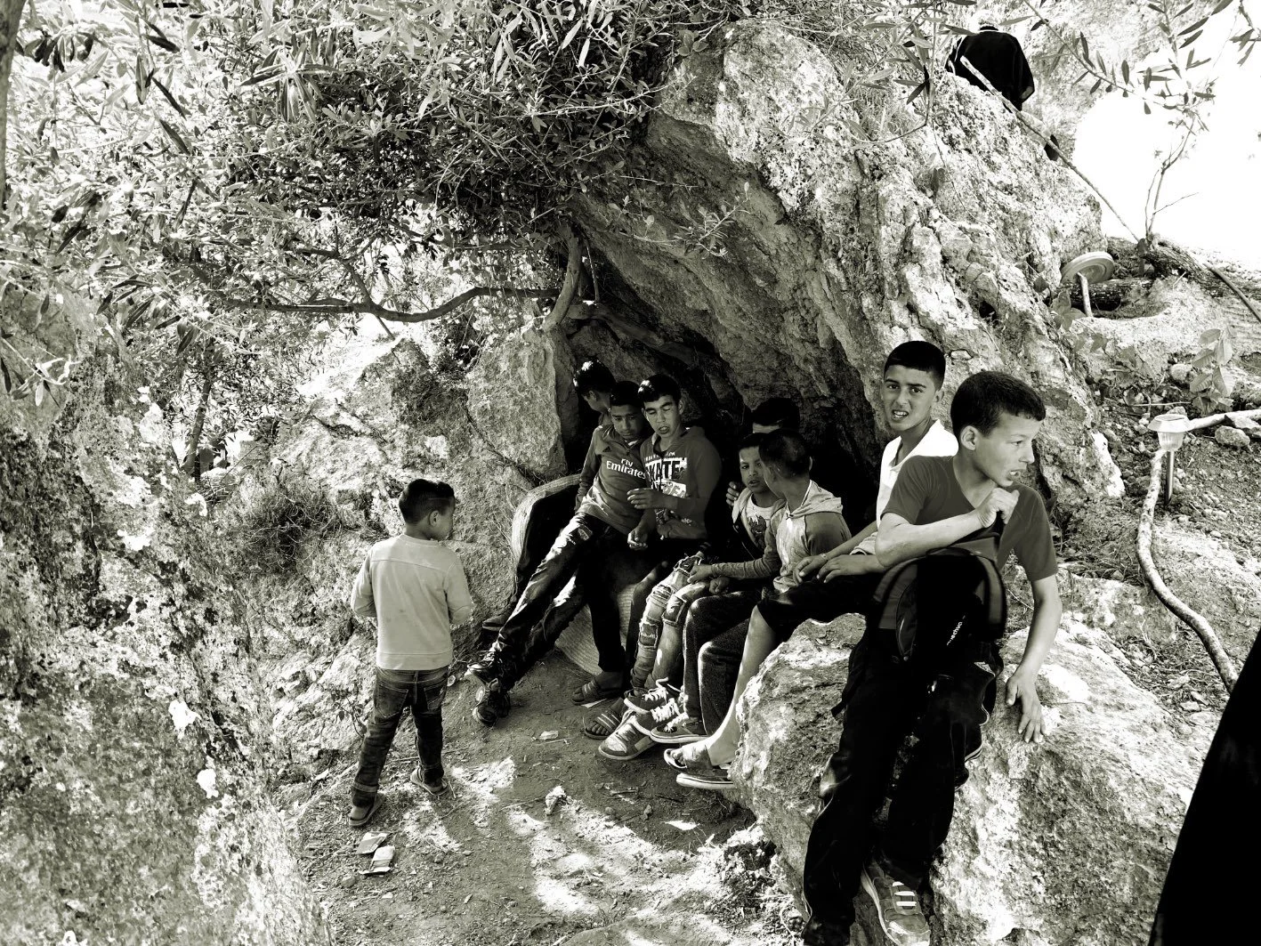
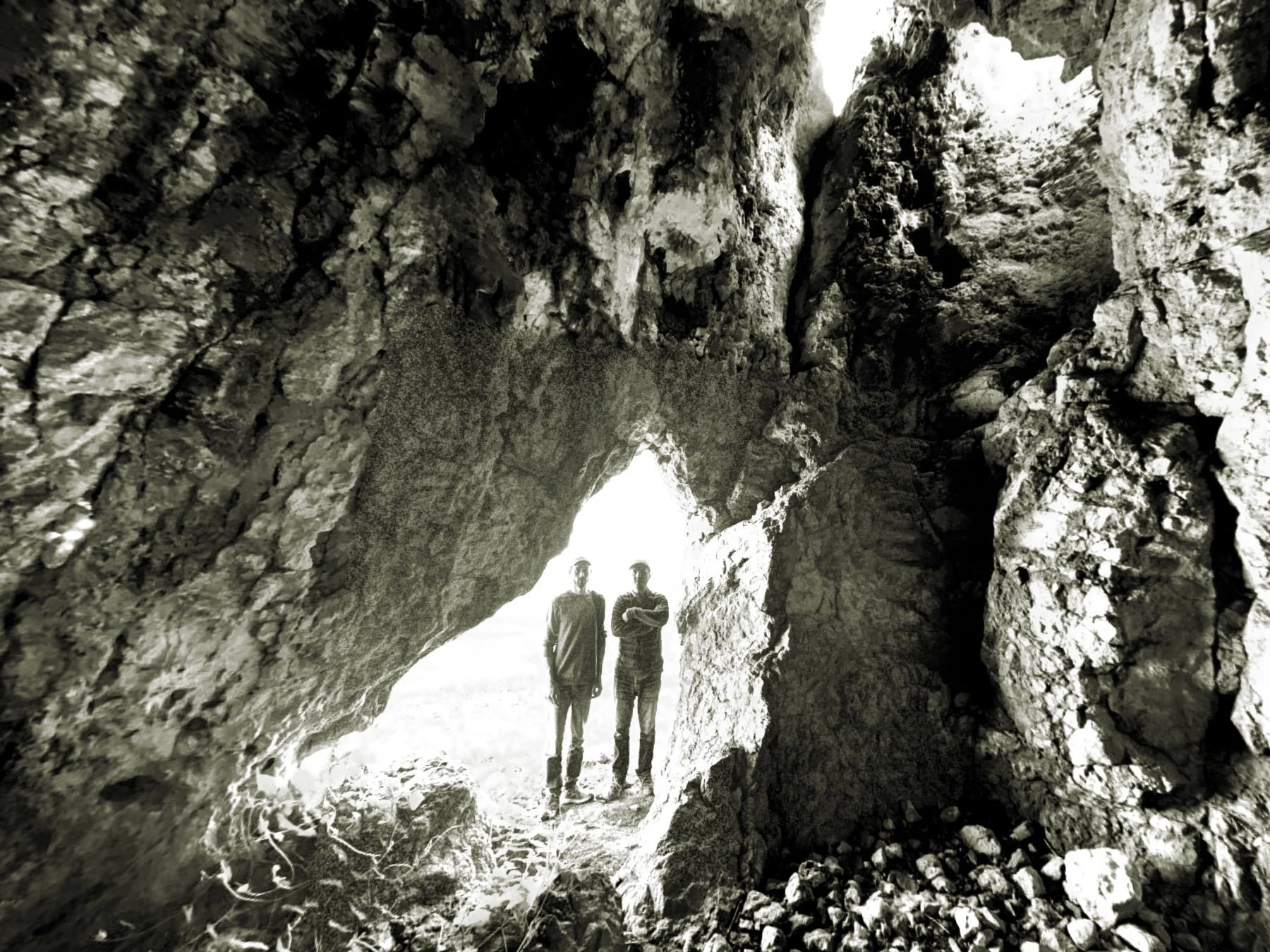
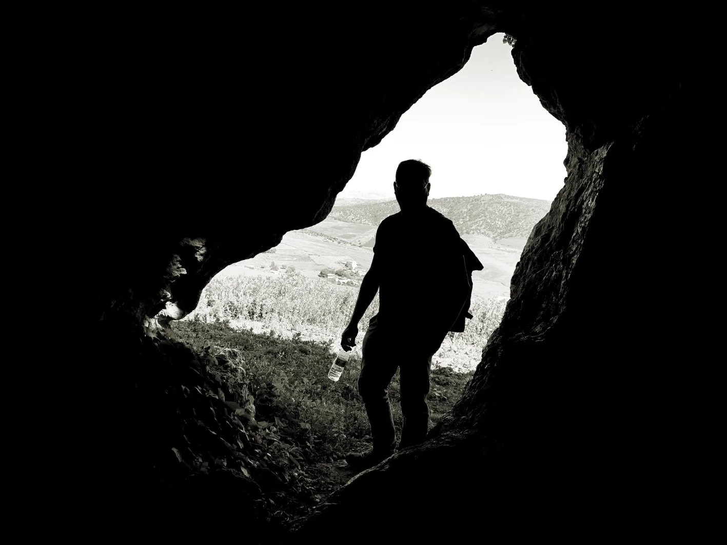
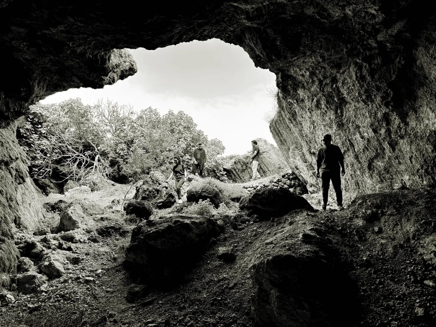
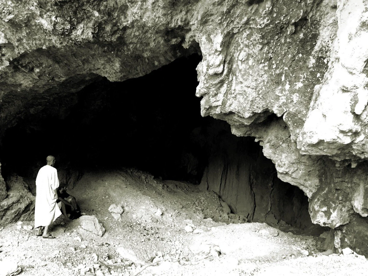
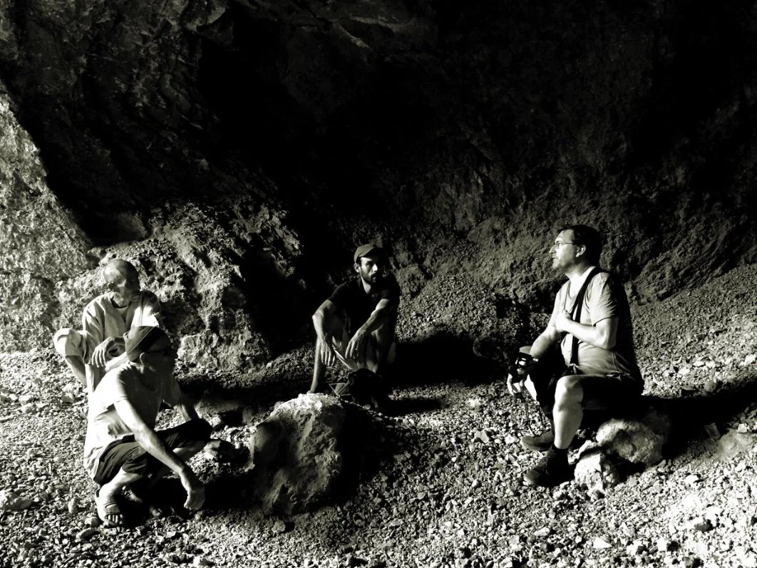
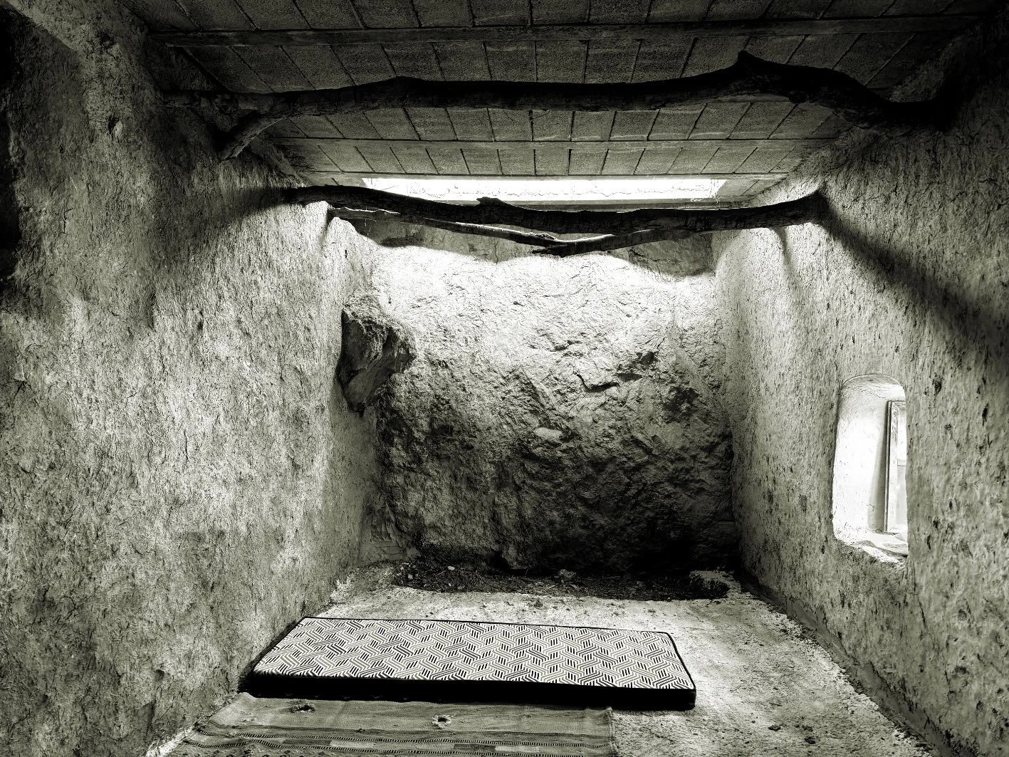
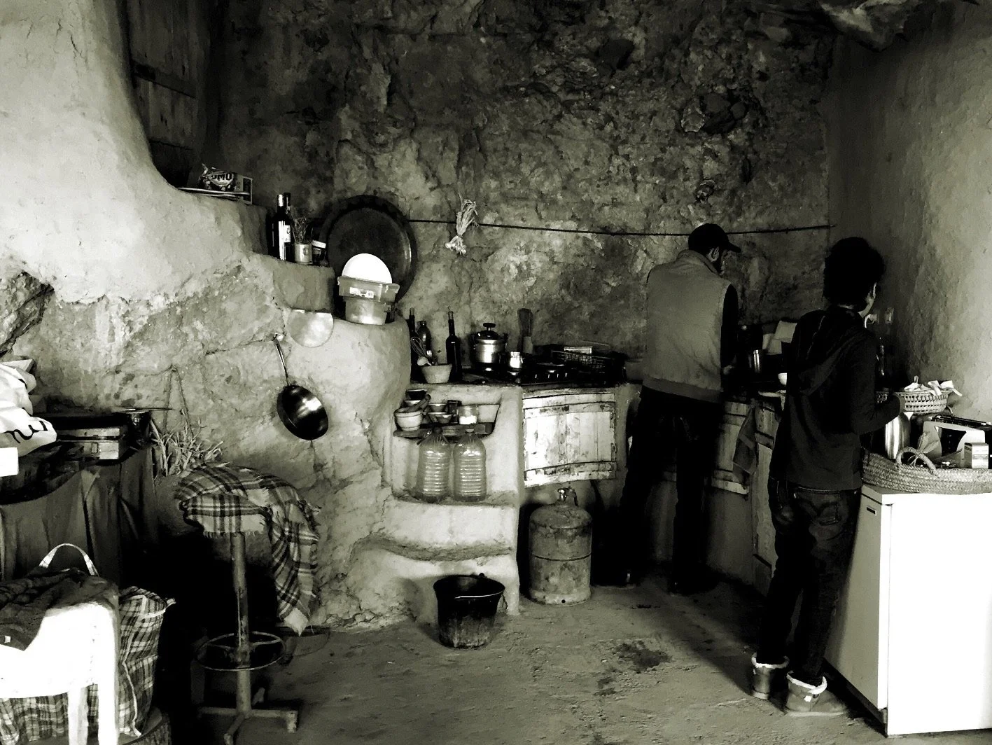
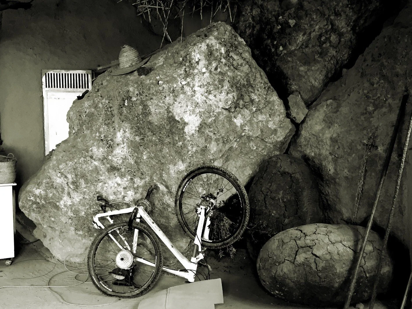
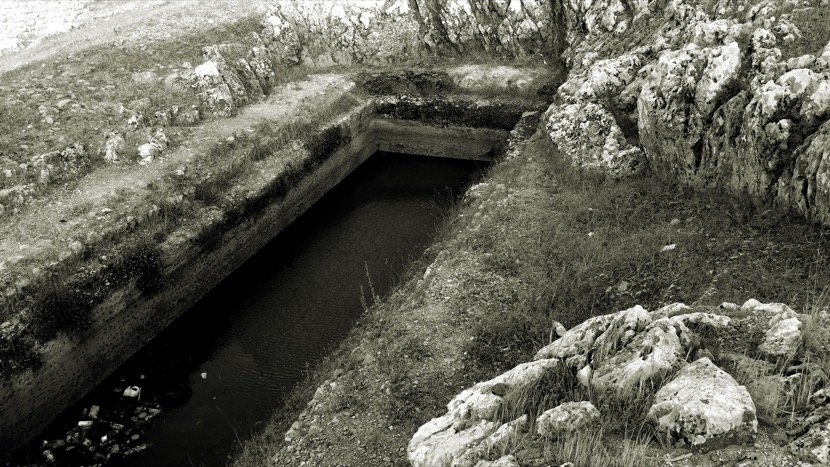
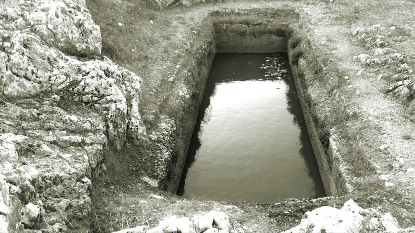
But the orography and geology do not only create massive volumes, they shelter spaces of different sizes and which are also used by the inhabitants according to their scales in an individual or community manner; caves, caverns, cavities...


It is quite impressive how the inhabitants, in a natural way and without the intervention of architects, are able to dialogue with their land and the complexity arising from the topography and geological matter. One could say that the architecture submits to the nature of the rocks, it does not impose itself on them, as we can appreciate in these pictures.

03.3 Heritage
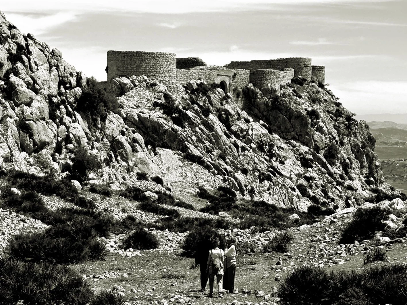
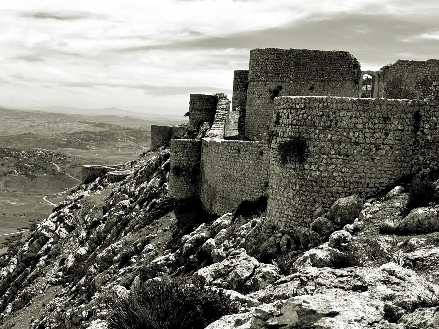
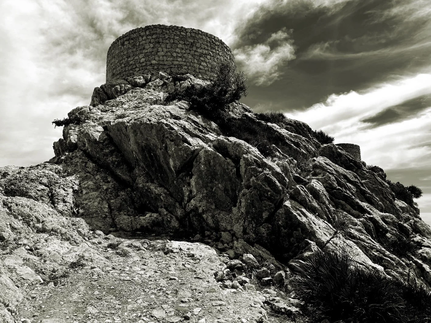
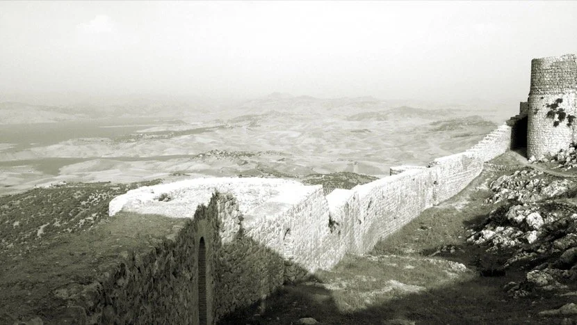
At the top of the Amergou mountain, there is a fortification that dates back to, at least, the 11th century, that is, it would be a construction of the Almoravid dynasty. There are historians who mention a later origin, in the 12th century, during the Almohad dynasty. The absence of archaeological excavations makes a more exact dating impossible, but when we see from the summit all the territory that controls and the roads that passed through there; a north-south axis connecting Fez and the Strait of Gibraltar and then a west-east axis connecting Kenitra to Oujda (and yet Algeria), we realise that we are in a strategic location. More information about Amergou on this link.


The geostrategic importance can be better appreciated in this 360º video.
Or in this virtual tour.
This fortification was part of a network deployed between the Sahel and the Mediterranean in order to control and ensure the caravan trade. For this, it was imperative to build fortifications at the crossroads of the main routes that, at the time, connected the Sahel with the Maghreb, Europe and the Middle East. I had positioned these fortifications on a map to better understand the extent of the importance of the caravan trade as I explain in this presentation (in Spanish), Territorio y patrimonio. Caravanas saharianas (a version in text and images can be read here).
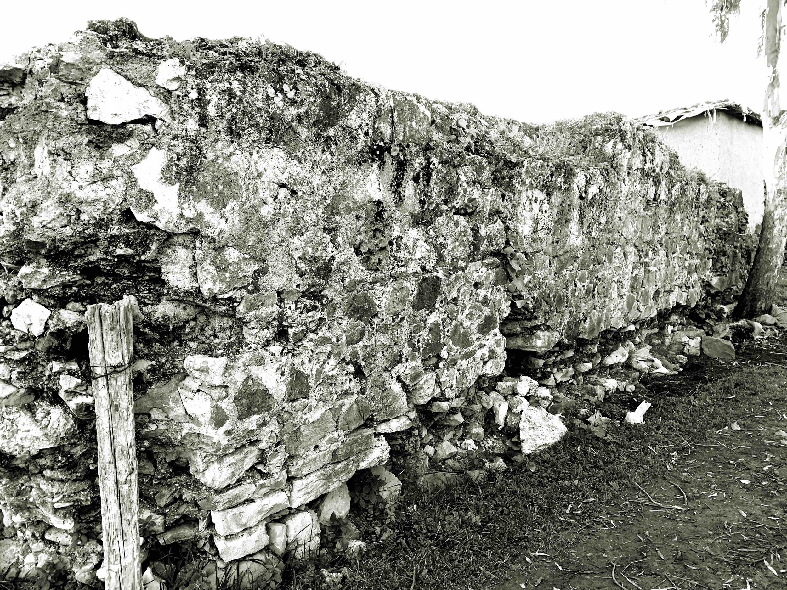
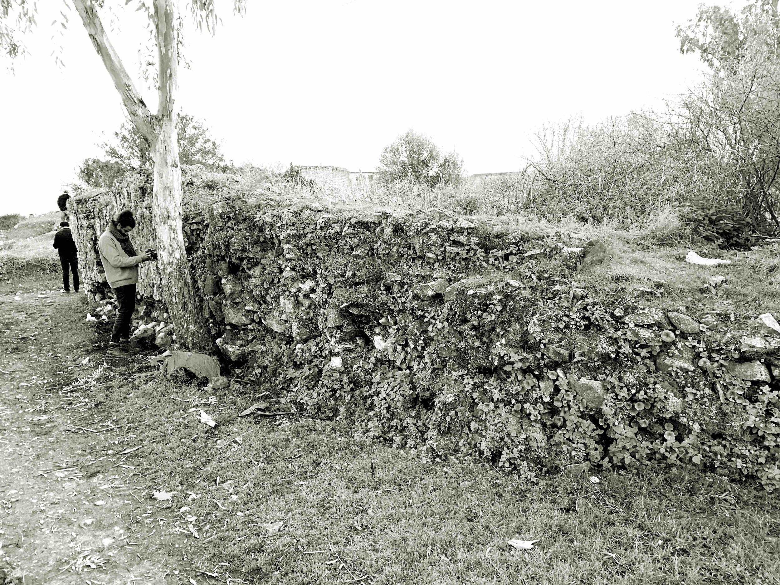
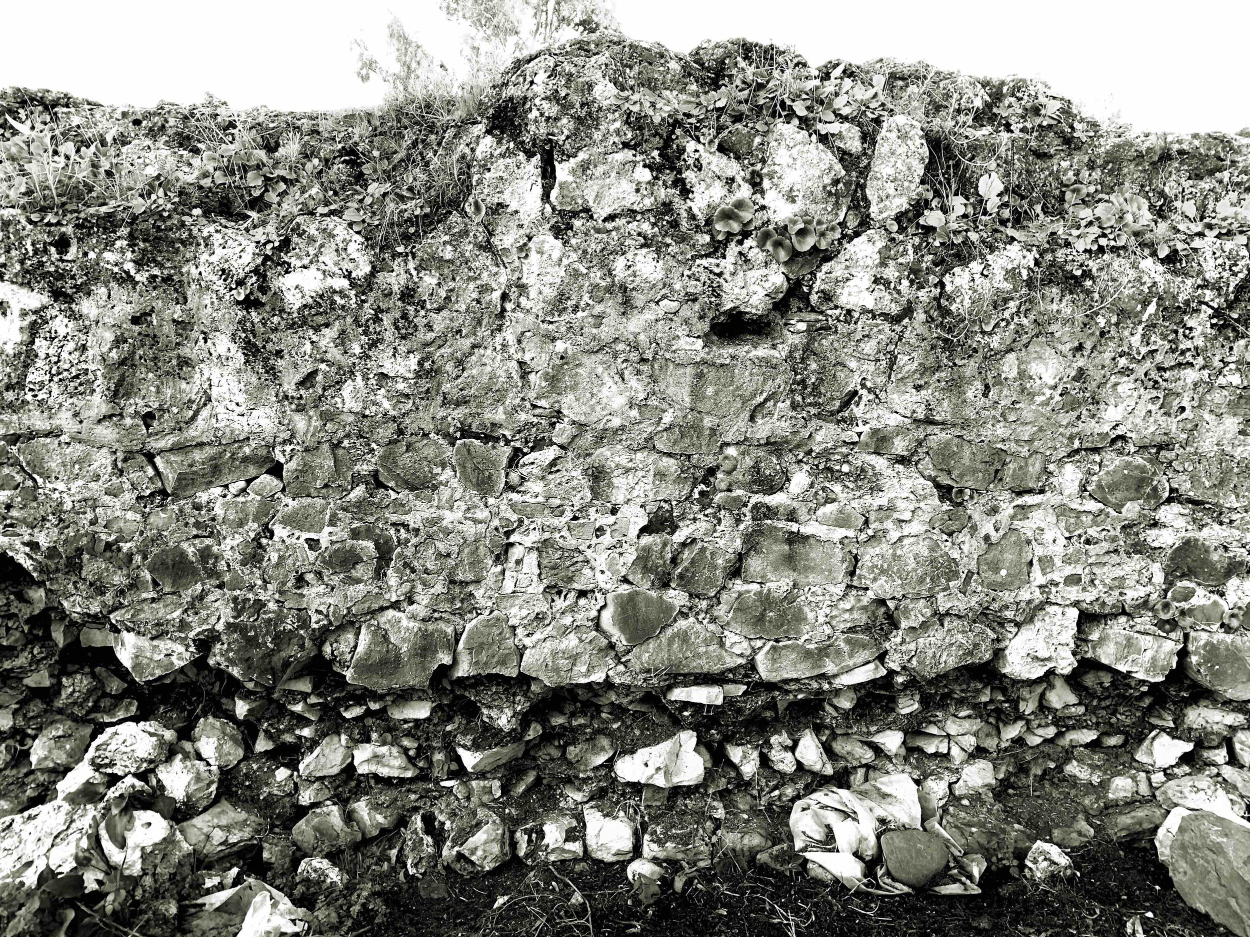
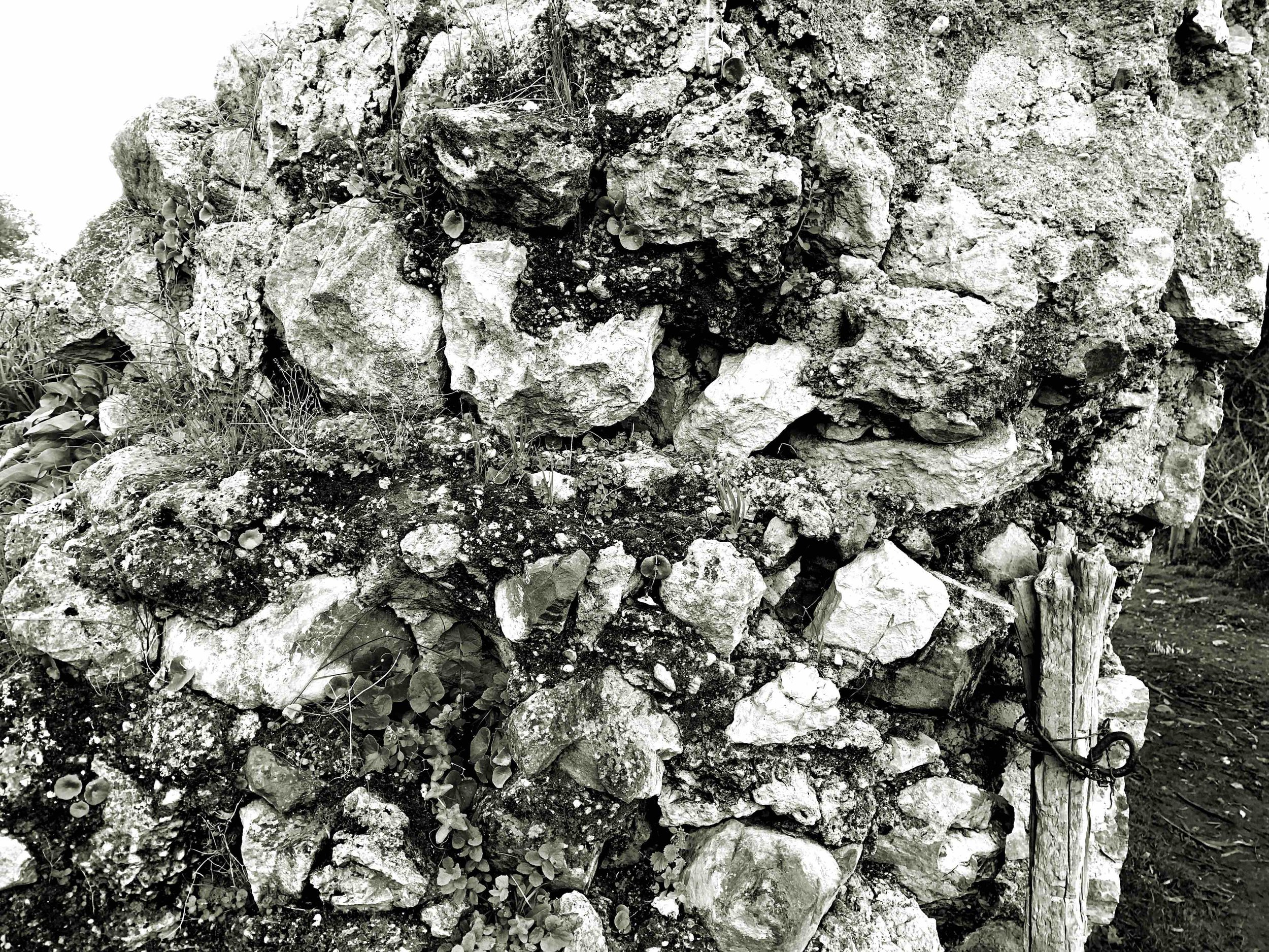
Furthermore, the existence of remains of walls in the village on the edge of the al-Wahda dam (named Fez el-Bali), practically at the foot of the mountain, gives us enough clues to imagine that this region has a much more important past than it seems, especially if we consider the orography existing in the region before the creation of the dam; the Ouargha River irrigated Fez al-Bali and flowed into the Sebou River (province of Sidi Kacem) in a region that was already occupied during the Roman period where they developed intensive agriculture taking advantage of the fact that communications were basically done by river.
Hypotheses of the land and sea routes of Tingitana Mauritania (Tingitana en la Antigüedad Tardía. Noé Villaverde Vega)
Lower basin and mouth of the Sebou River (Tingitana en la Antigüedad Tardía. Noé Villaverde Vega)
The civil heritage of Moulay Bouchta is represented by the zawiya of Sidi Moulay Bouchta and its marabout, in Alawite style. The veneration towards Sidi Moulay Bouchta remains one of the most important economic activities, thanks in particular to the moussem which is celebrated every year in summer, in honor of Haj Mhammed Ben Moussa Ben Abdallah Ben Ahmed, descendant of the Idrisside chorfas who lived in the 16th century in the mountain of Amergou. More information on this link.
1917 (source)
2025
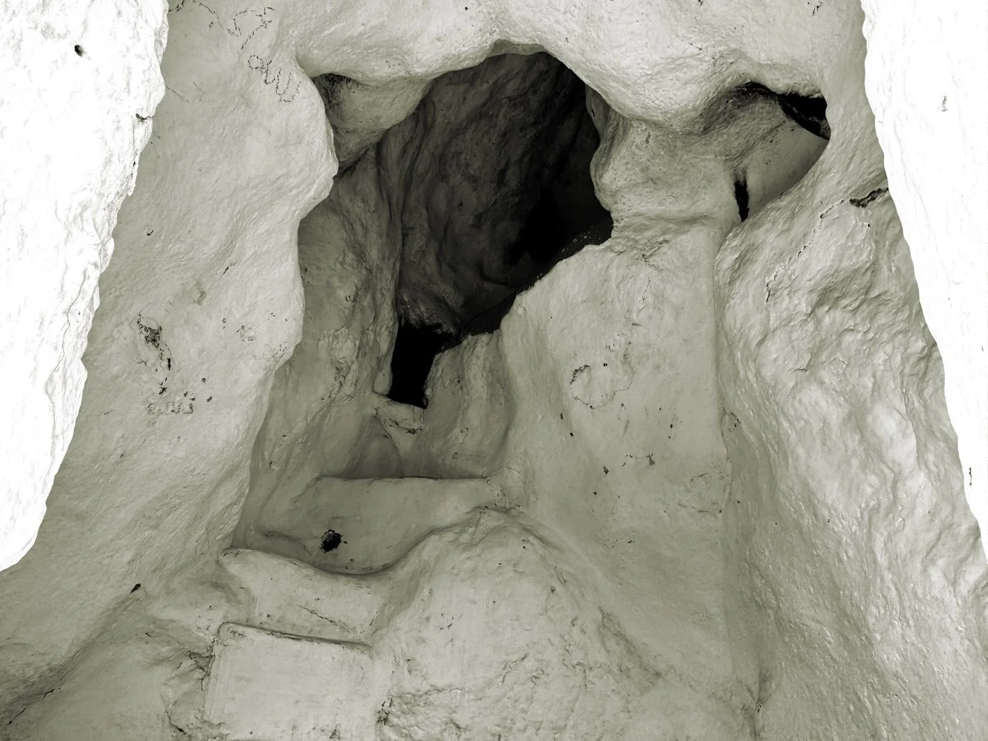
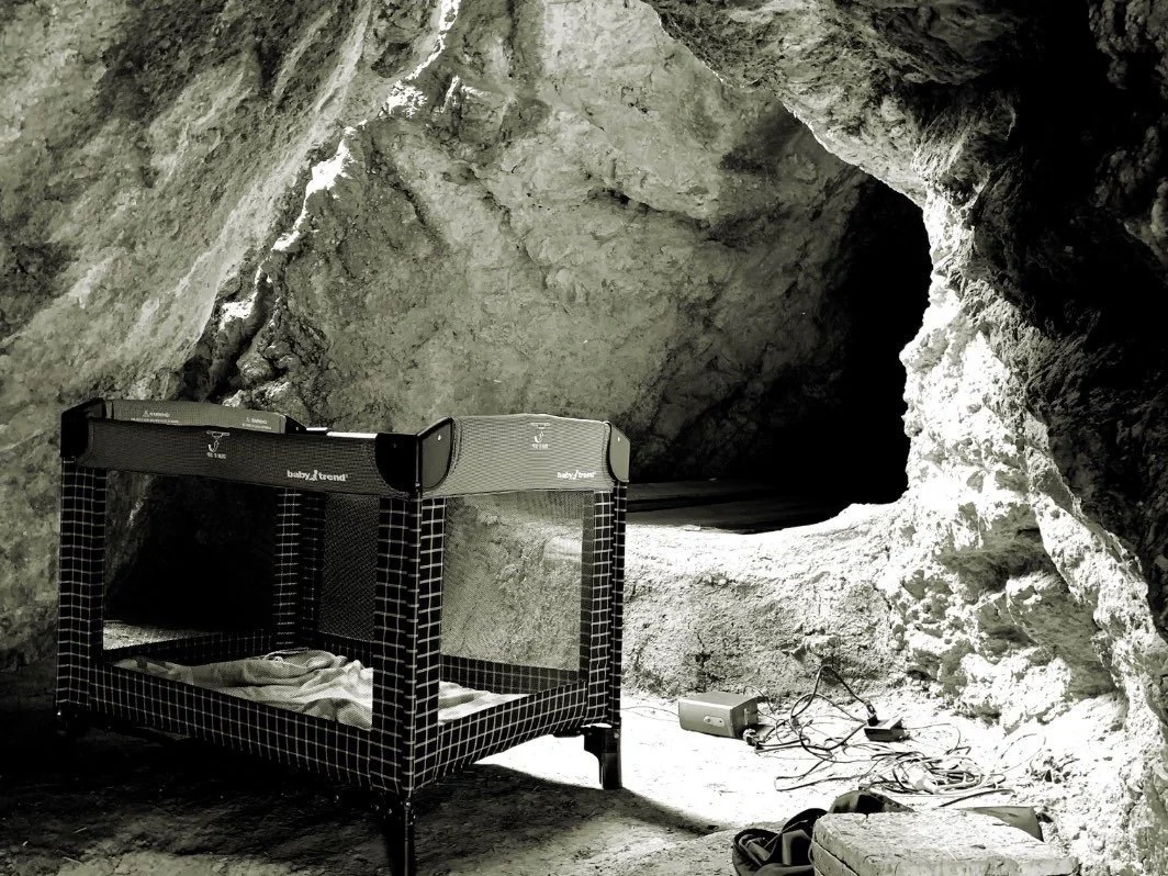
But there is another space associated with Sidi Moulay Bouchta. According to oral tradition, Sidi Moulay Bouchta often went to the top of the Amergou mountain to isolate himself and pray in a cavity, slightly furnished for accommodation. It could be a "kholwa" (we will discuss this type of space on the next page).
3D model made in 2025 with the lidar scanner of an iPhone 15 Pro Max and the Scaniverse app.
360º video taken in 2025 with an Insta360 x4 camera.
Credits texts, photos and drawings: Carlos Pérez Marín