
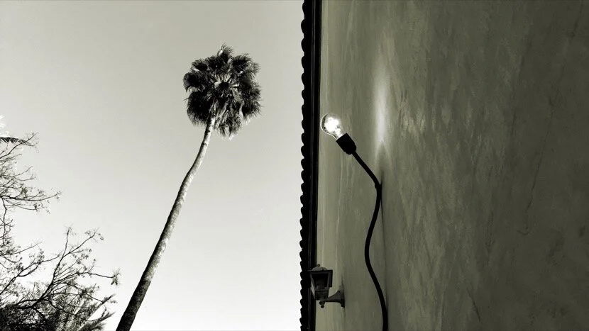
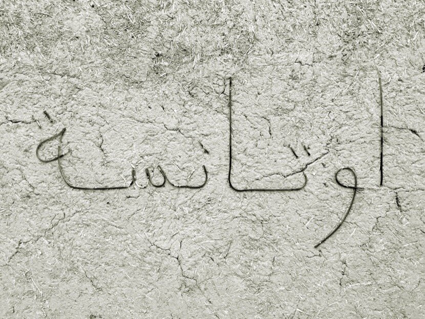
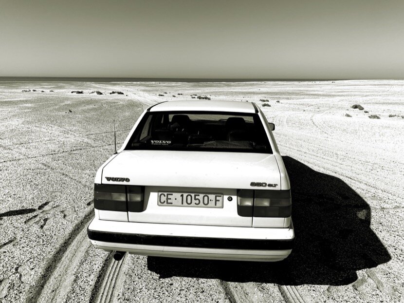
Ceuta-Ouadane
multidimensional connections
1. preface
In November 2021, with a group of Mauritanian and Moroccan friends, we will organise the first edition of Caravane Ouadane (in parallel with Caravane Tighmert) in the city of the same name, in the Mauritanian region of Adrar, but, what is my interest in organising a cultural event 3,400 km far from Ceuta?
After years of research in North Africa, I have seen how curiosity took me to places with no apparent connections; distant cities and territories but at the same time connected to Ceuta, thanks to its geographical position in the Strait of Gibraltar. However, I realised that only with a global vision (from a geographical point of view) one could understand the dimension of Ceuta throughout history and its African ties.
Let's go back to the process by which I arrived in Ouadane because you might think that everything was planned in advance, but to tell the truth, 10 years ago this vital journey would have seemed unimaginable to me, perhaps that was the key, moving forward and deepening the research topics at a pace not imposed by academic or institutional conditions, but by the desire and curiosity to know more, to share that learning and to meet people in each of these regions, people who were surely going to open new paths and perspectives for me in that search of knowledge.
I will try to explain how I rebuilt these connections between Ceuta and Ouadane (from a very personal point of view), passing through other cities such as Marrakech and Tighmert.
2. Almoravids
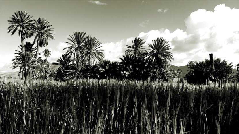
When an investigation begins without a pre-established plan, we always run the risk of not fully understanding all the information acquired, but it is also true that this non-linear form, in space and time, allows us to review several times different aspects of our history (and our present). Since my return to Ceuta in 1997, after my architecture studies in Seville, I have had the opportunity to work with the architectural heritage of my city between the 10th and 20th centuries, a complex field of research and intervention given the size of the territory and the amount of existing elements. During those first professional years I learned, together with my friends with whom we explored the heritage of the city and its surroundings, that it was not enough to study our heritage from a single point of view; architectural, historical, archaeological, social or cultural; A broader and transdisciplinary vision was needed, a fact that also emerged during my first visits to the desert in 2010, where it was necessary to consider architecture, geology, geography, agriculture, hydraulics, sociology, history, culture ... to fully understand the dimension of a desert territory. At that time, I still did not know that a desert contained multiple dimensions, perceptible in different ways (DIMENSIONS OF A DESERT and PERCEPTIONS OF DIMENSIONS), dimensions that could approximate remote territories such as those of the Jebala in North Africa and the Adrar in the Sahel.


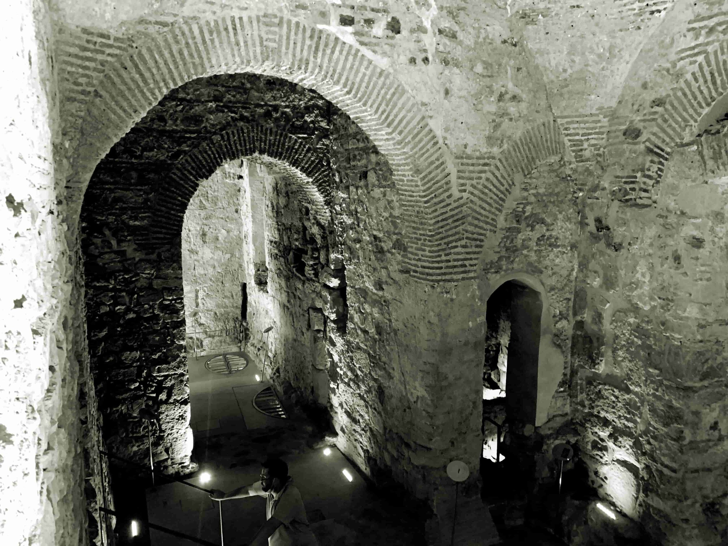
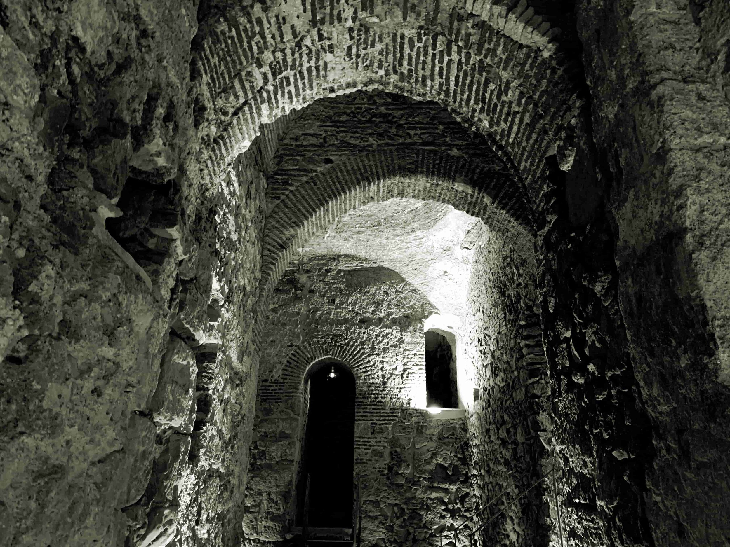
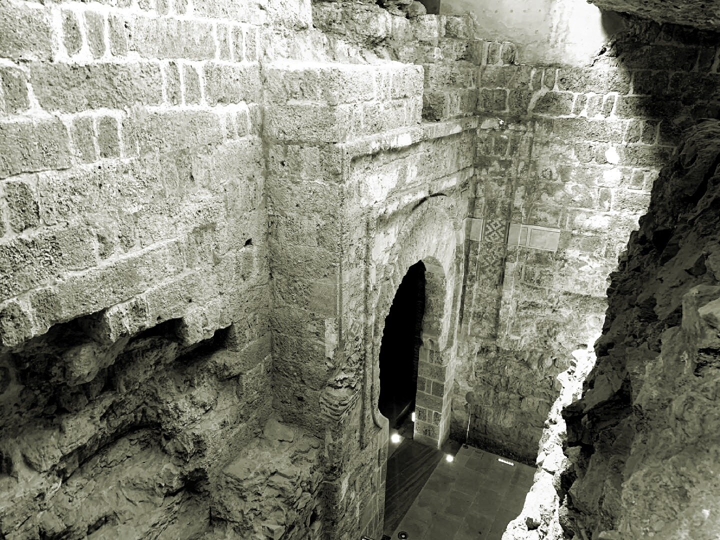
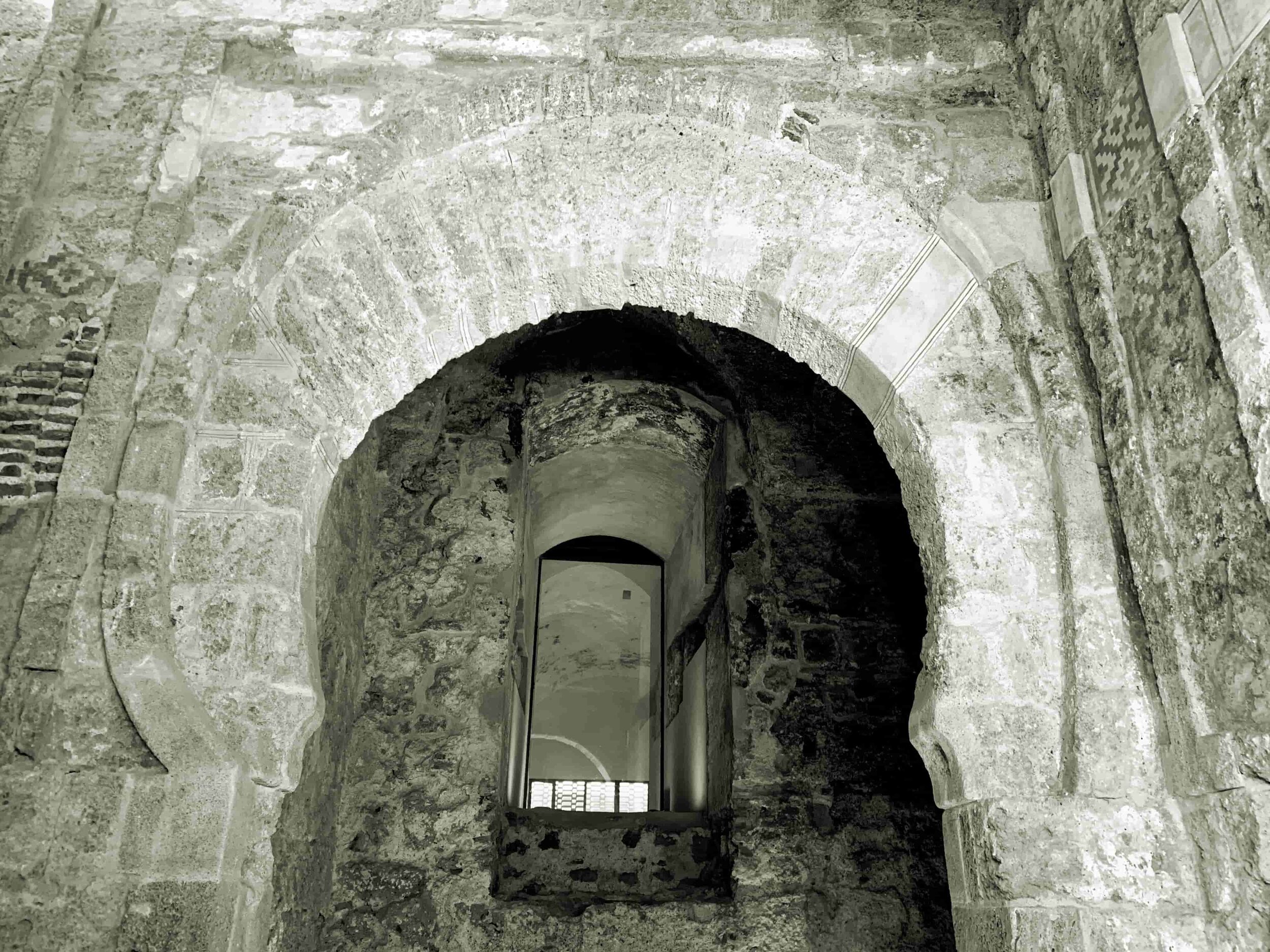
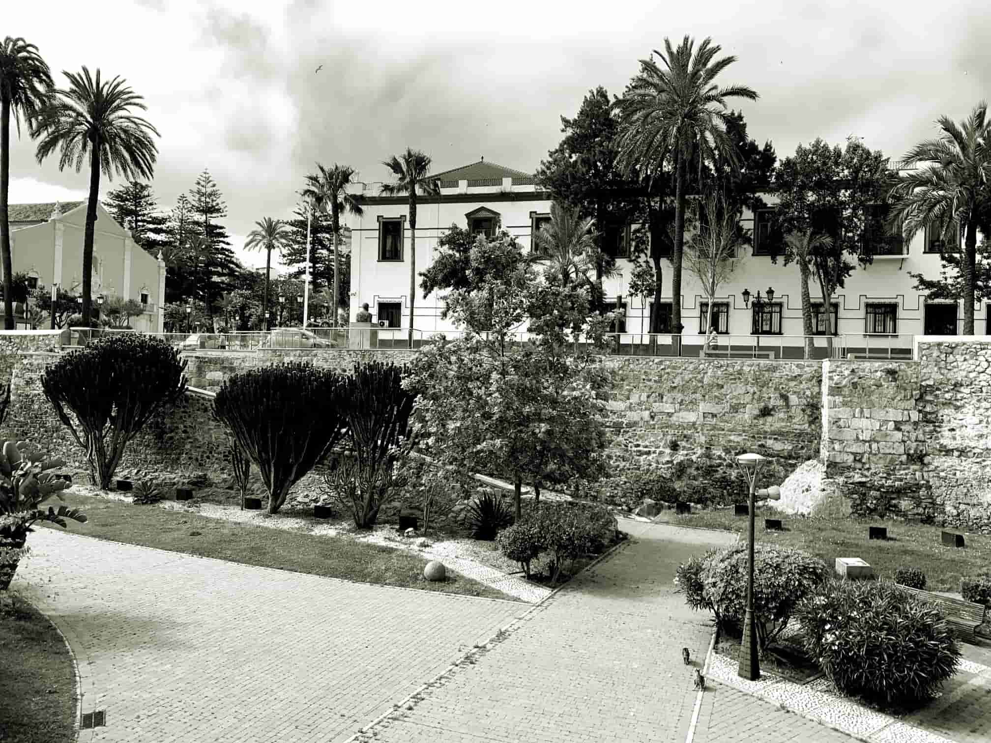
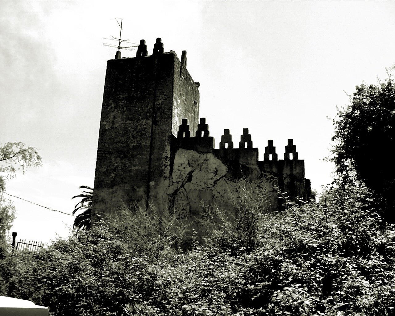
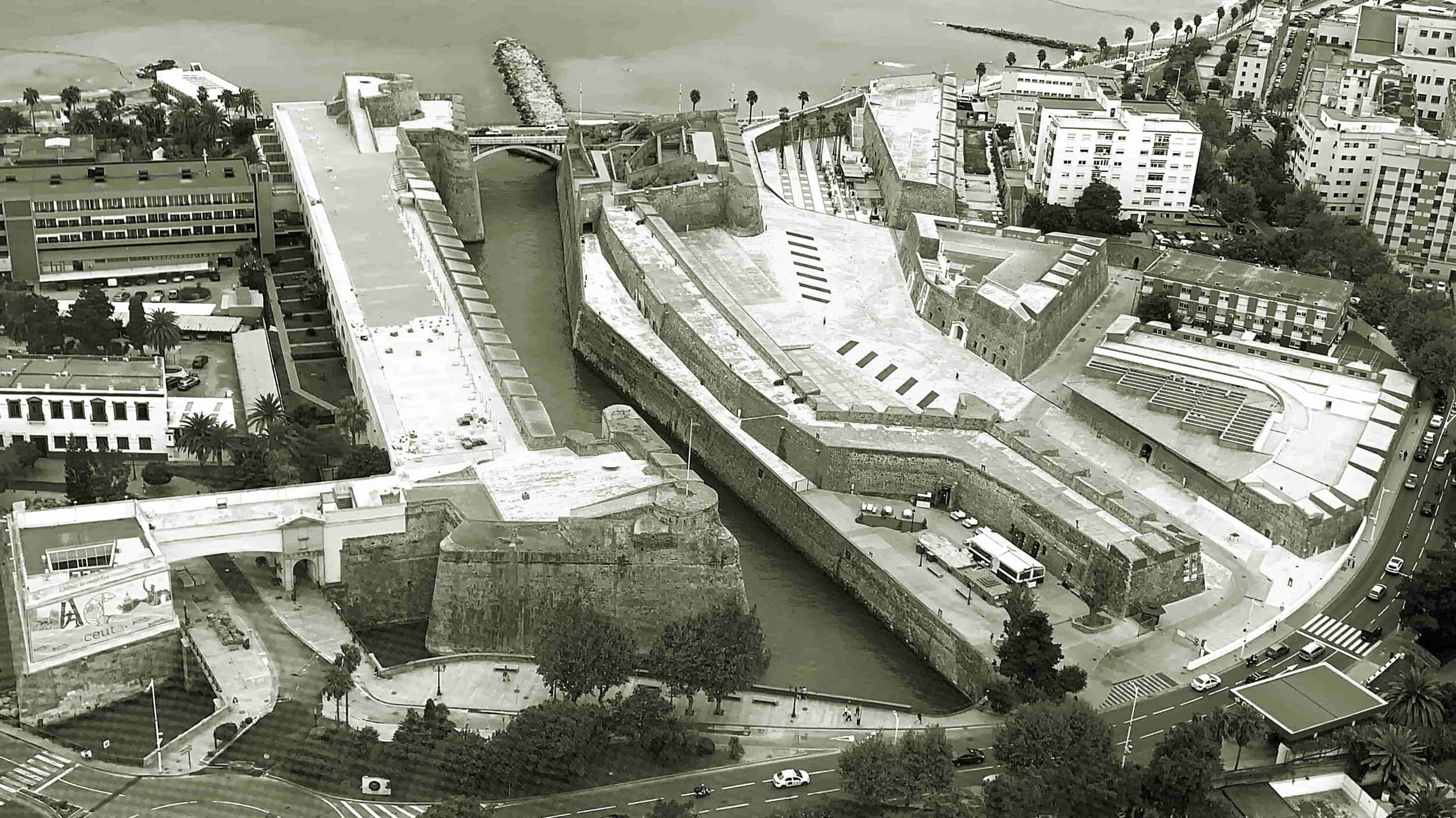
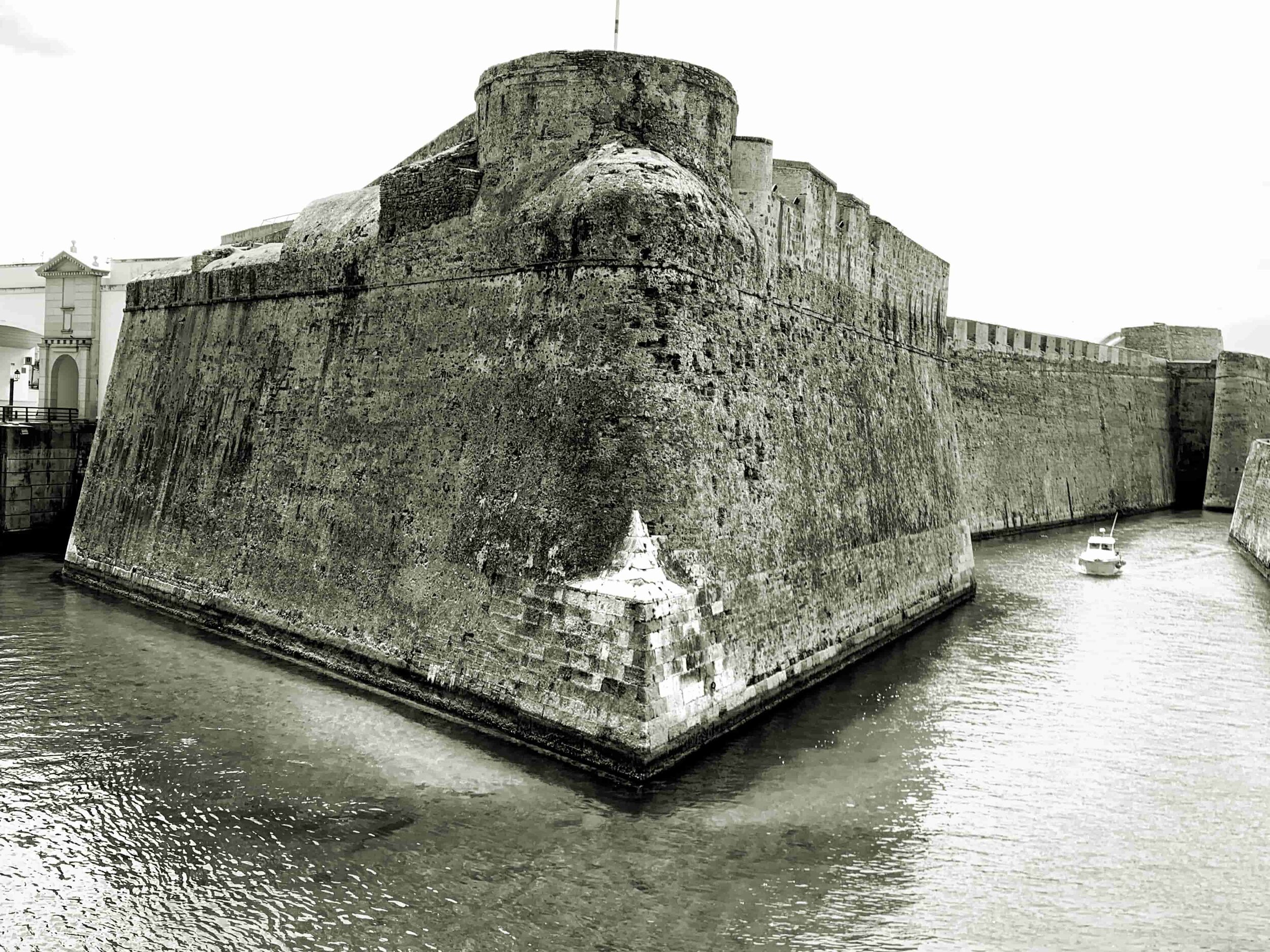
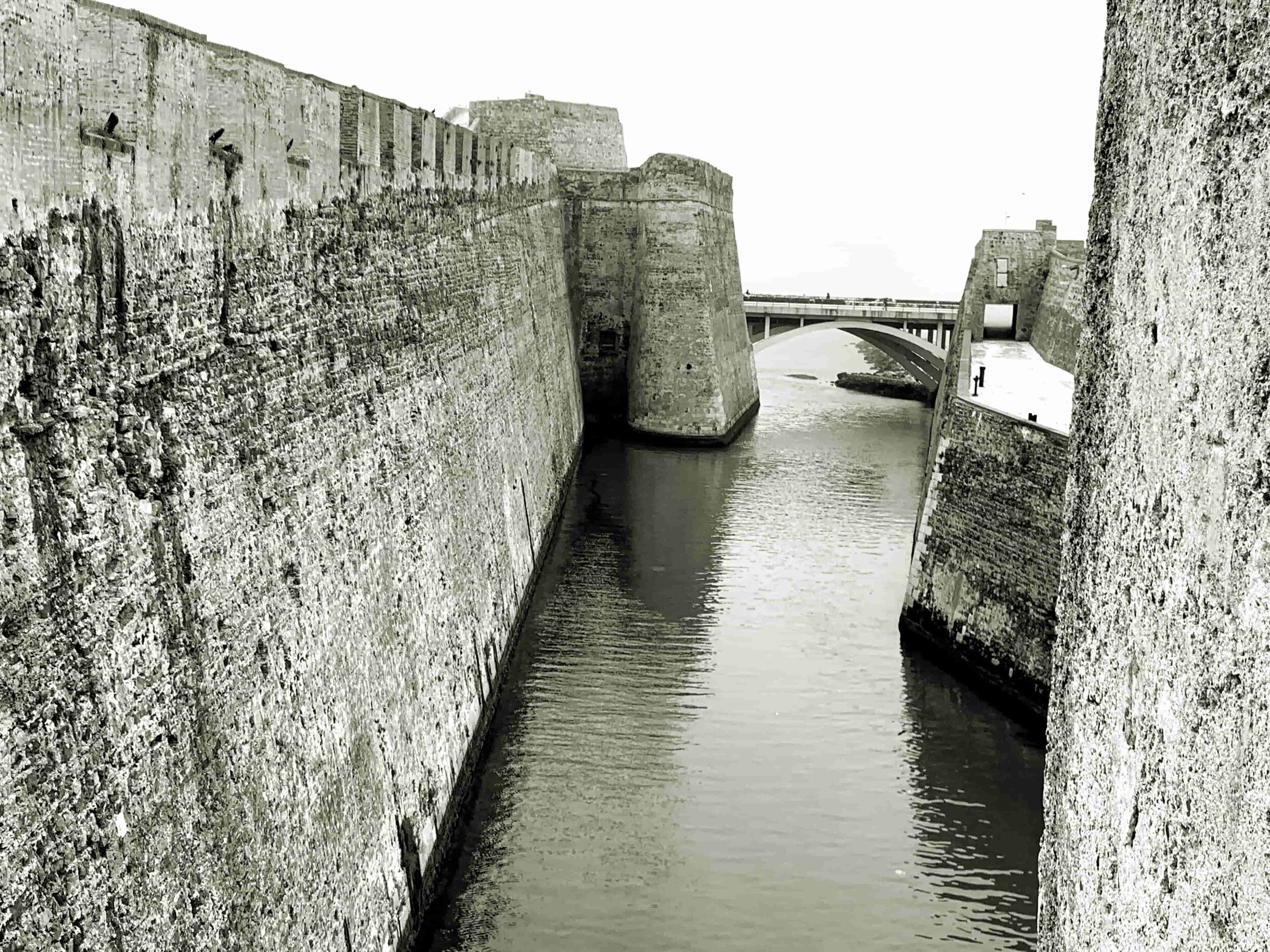
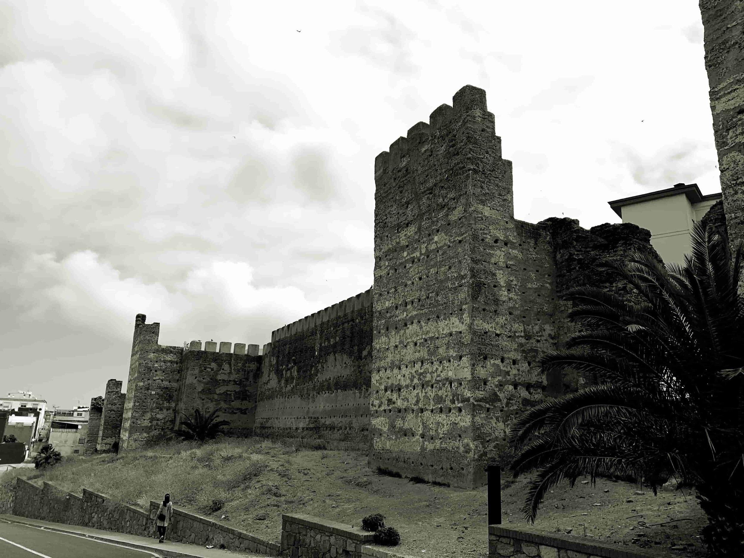
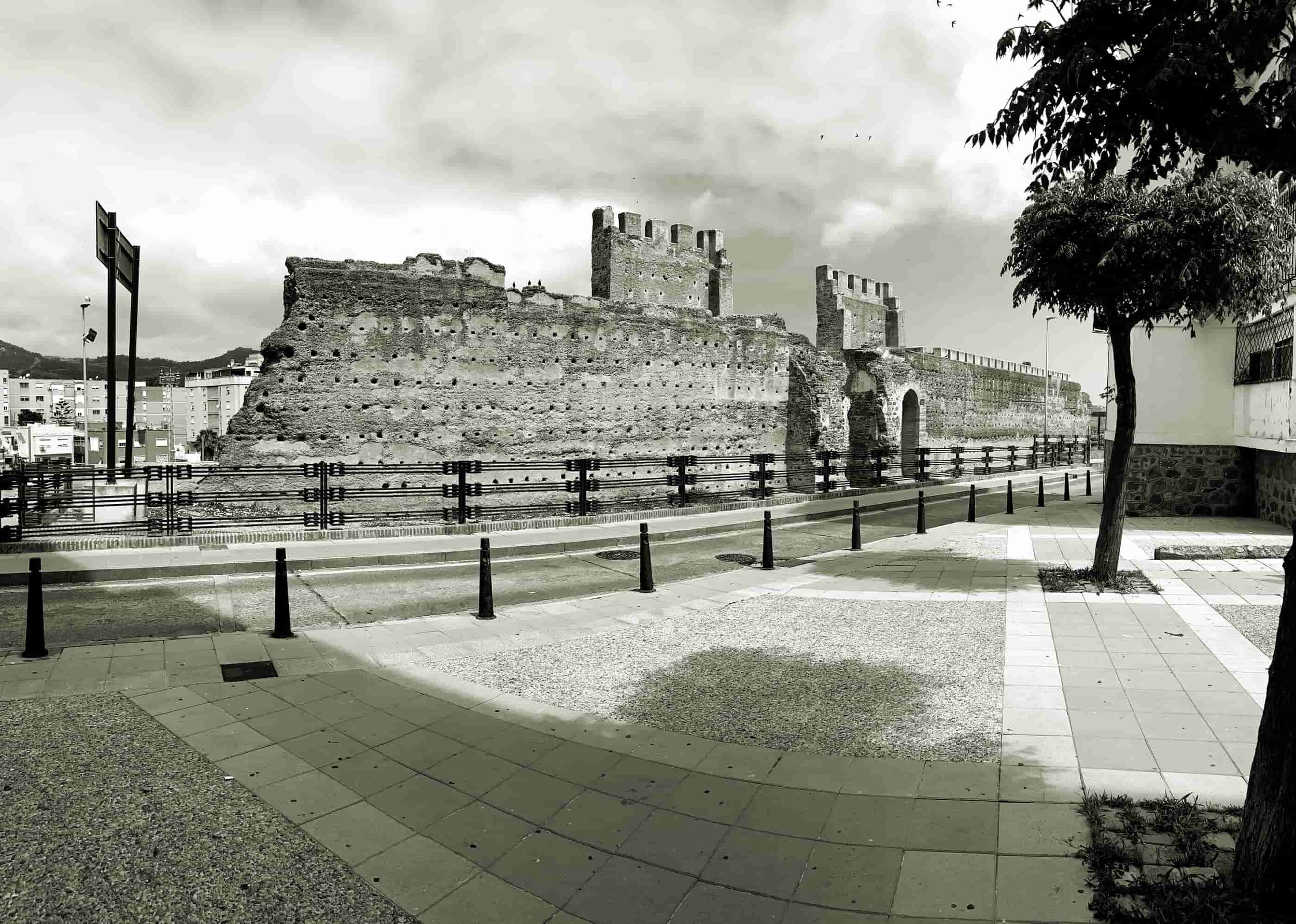
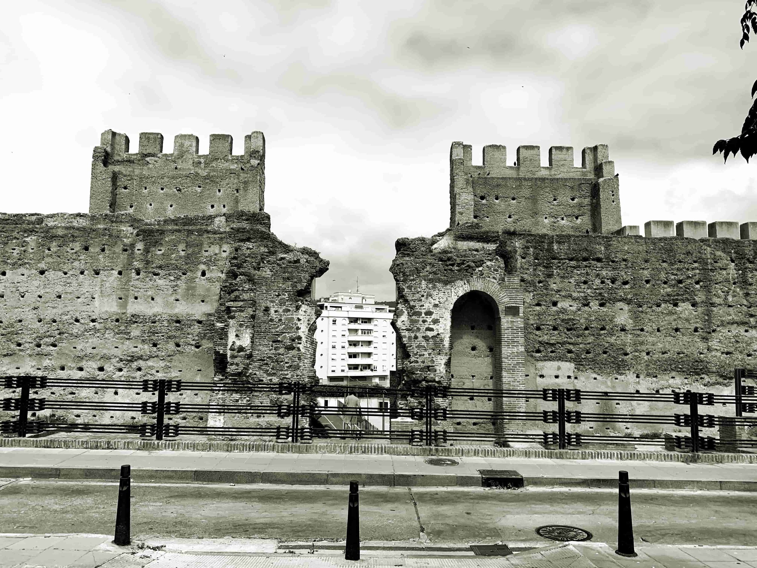
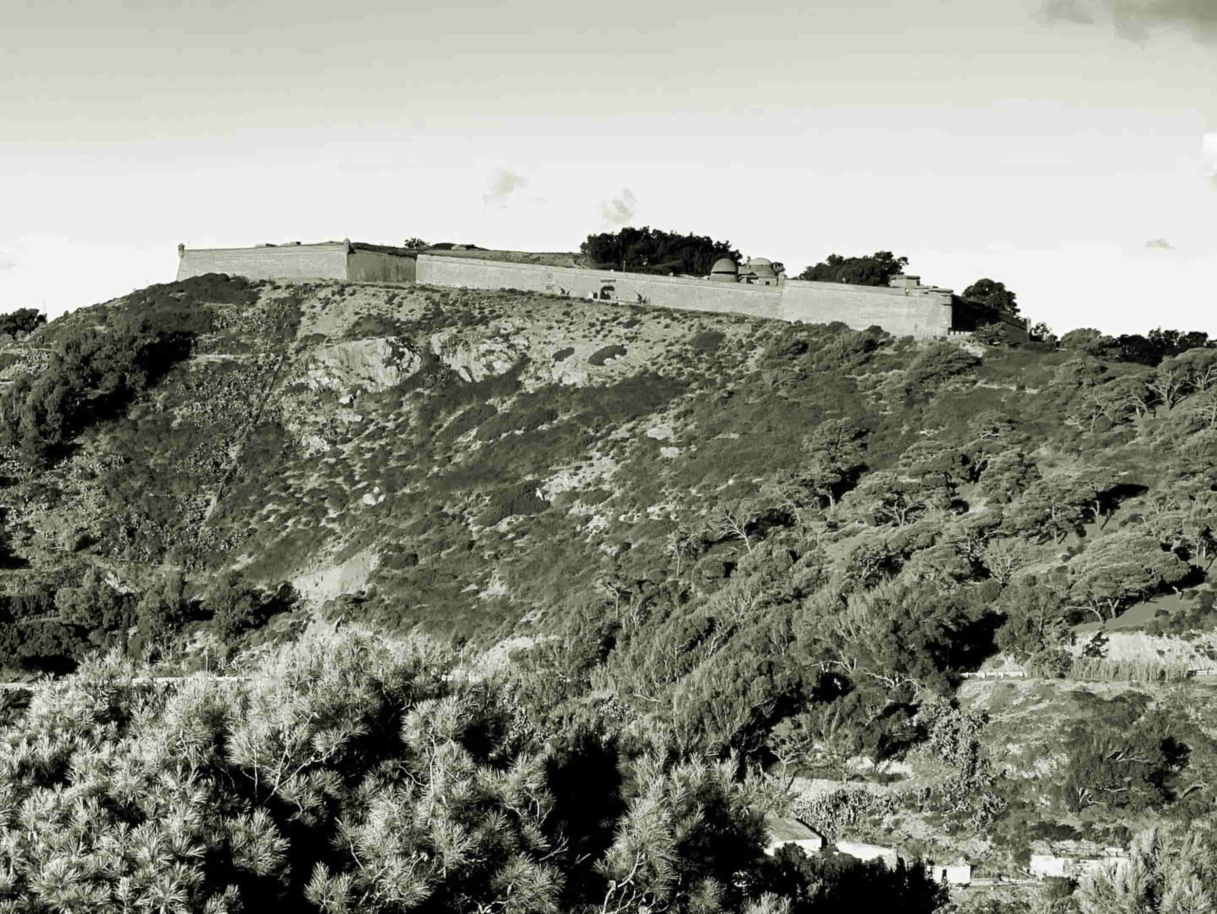
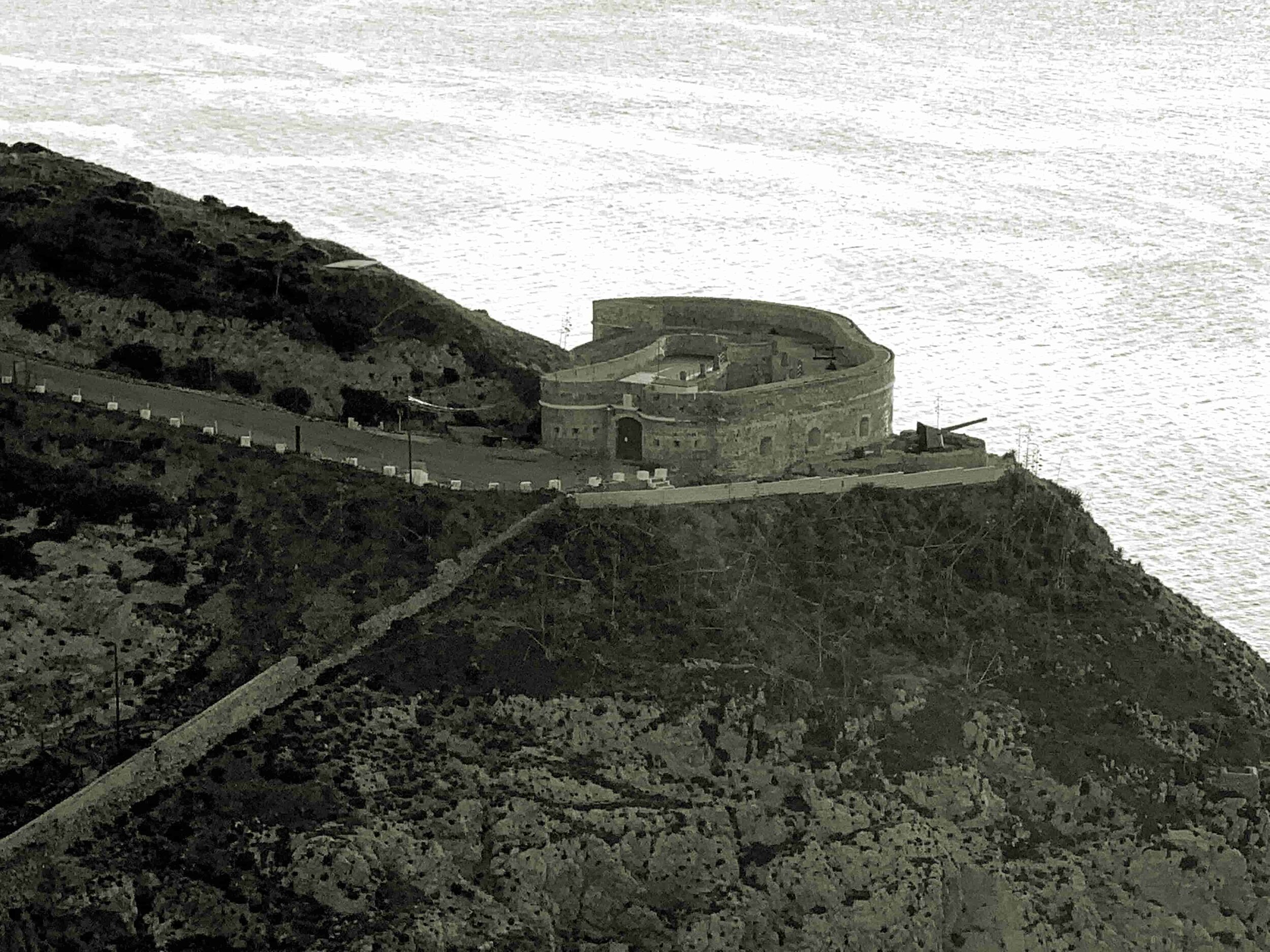
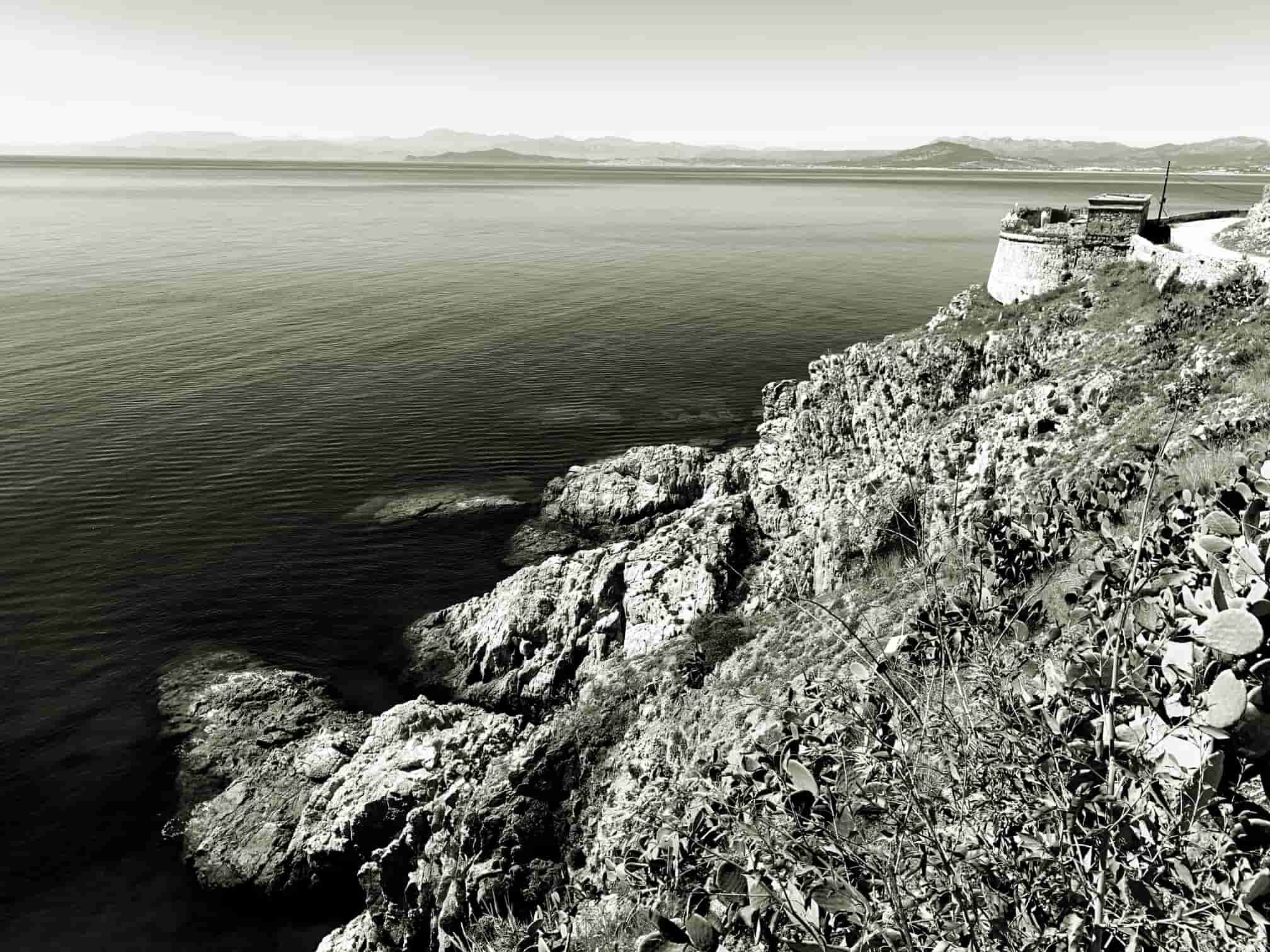
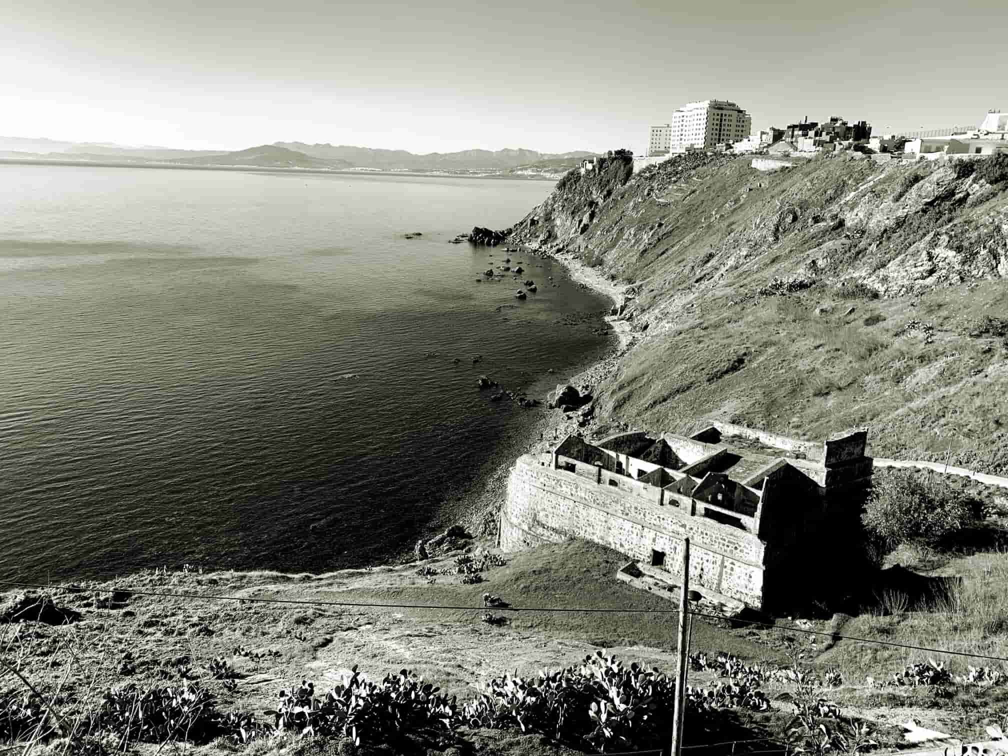
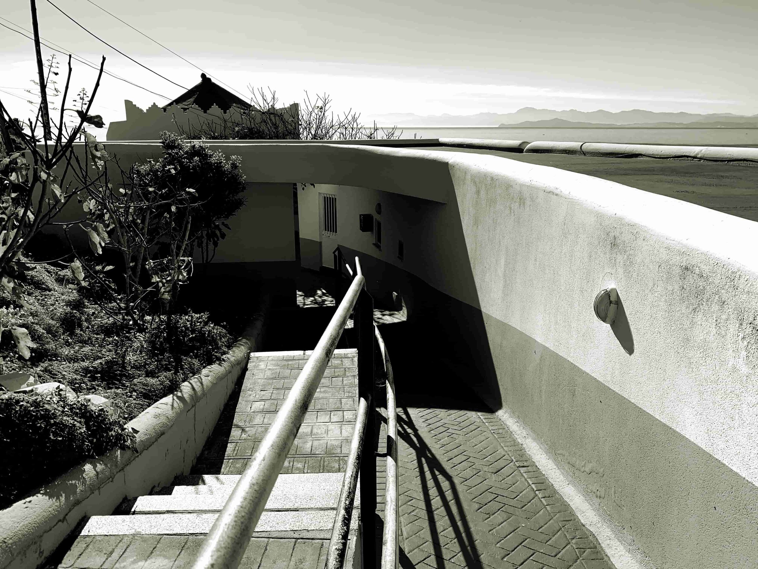
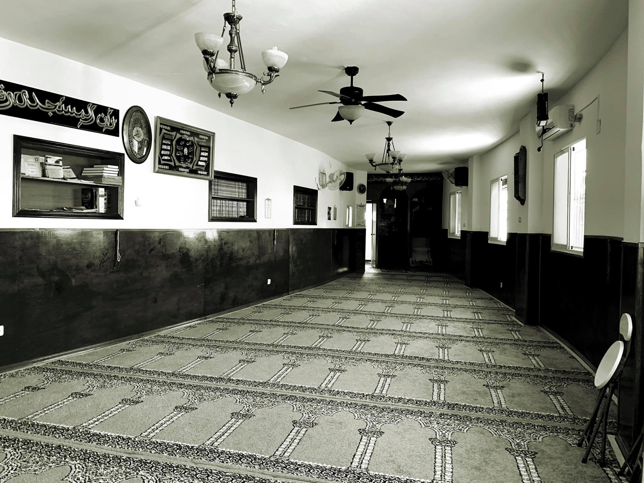
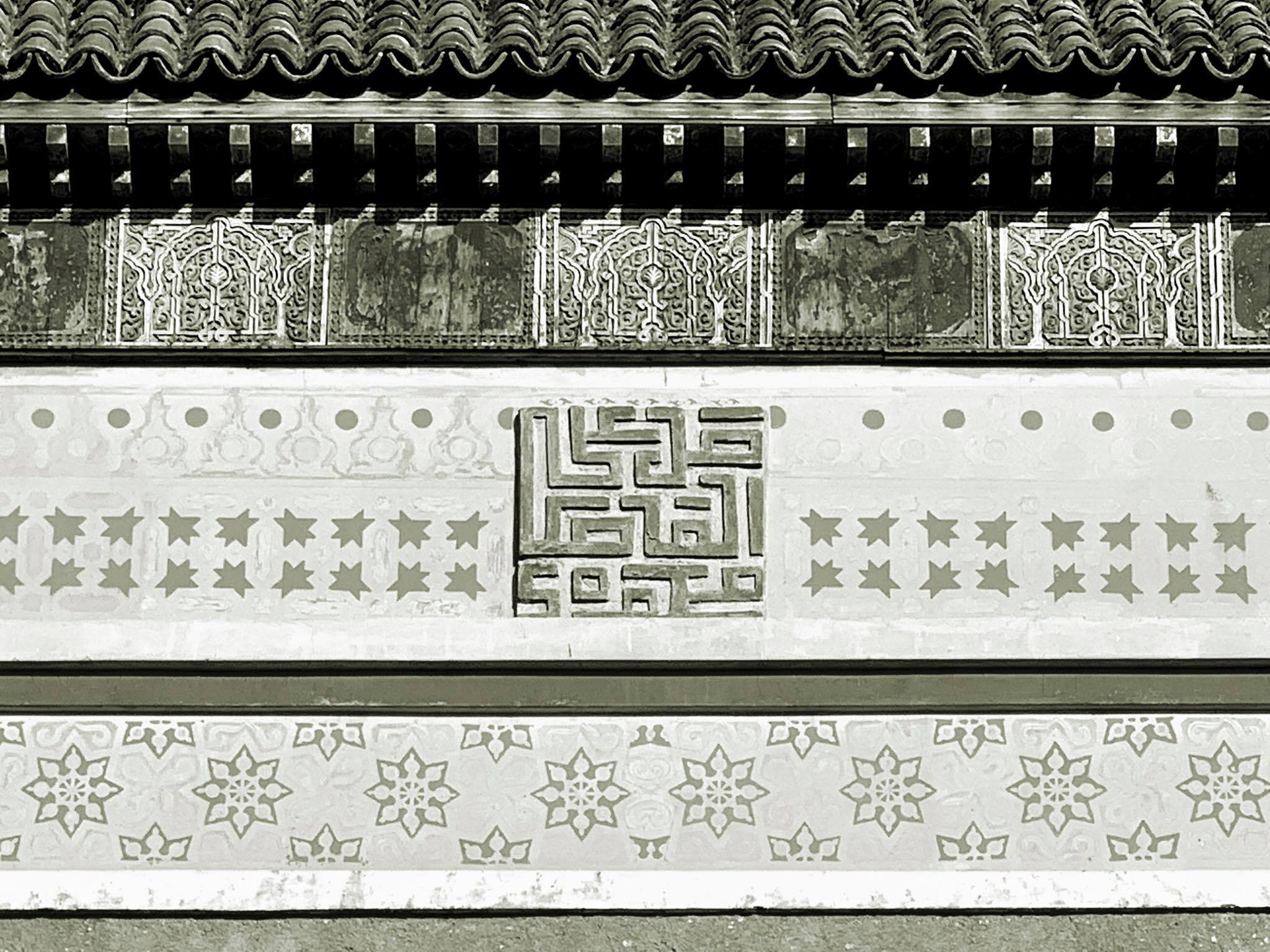
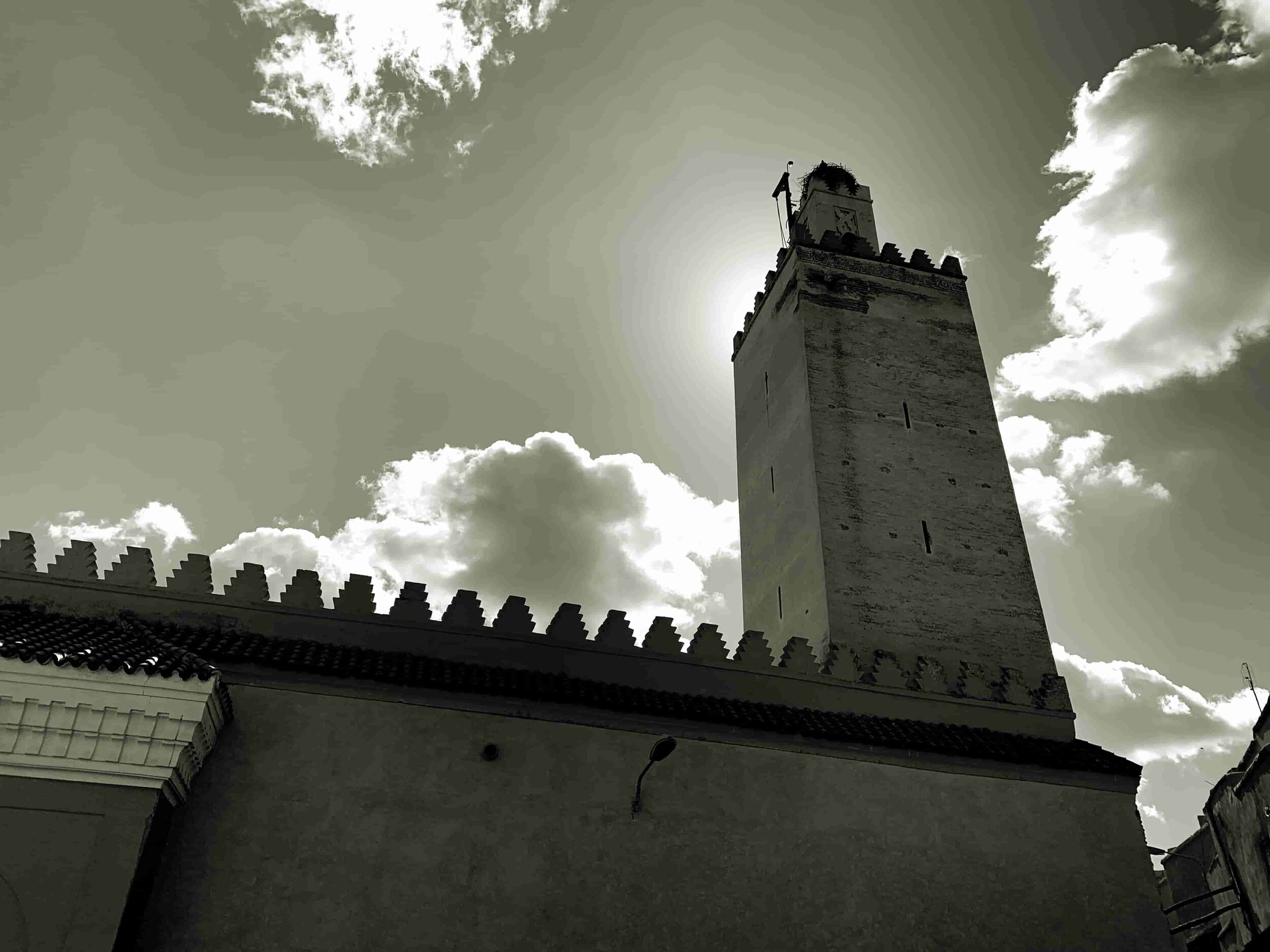
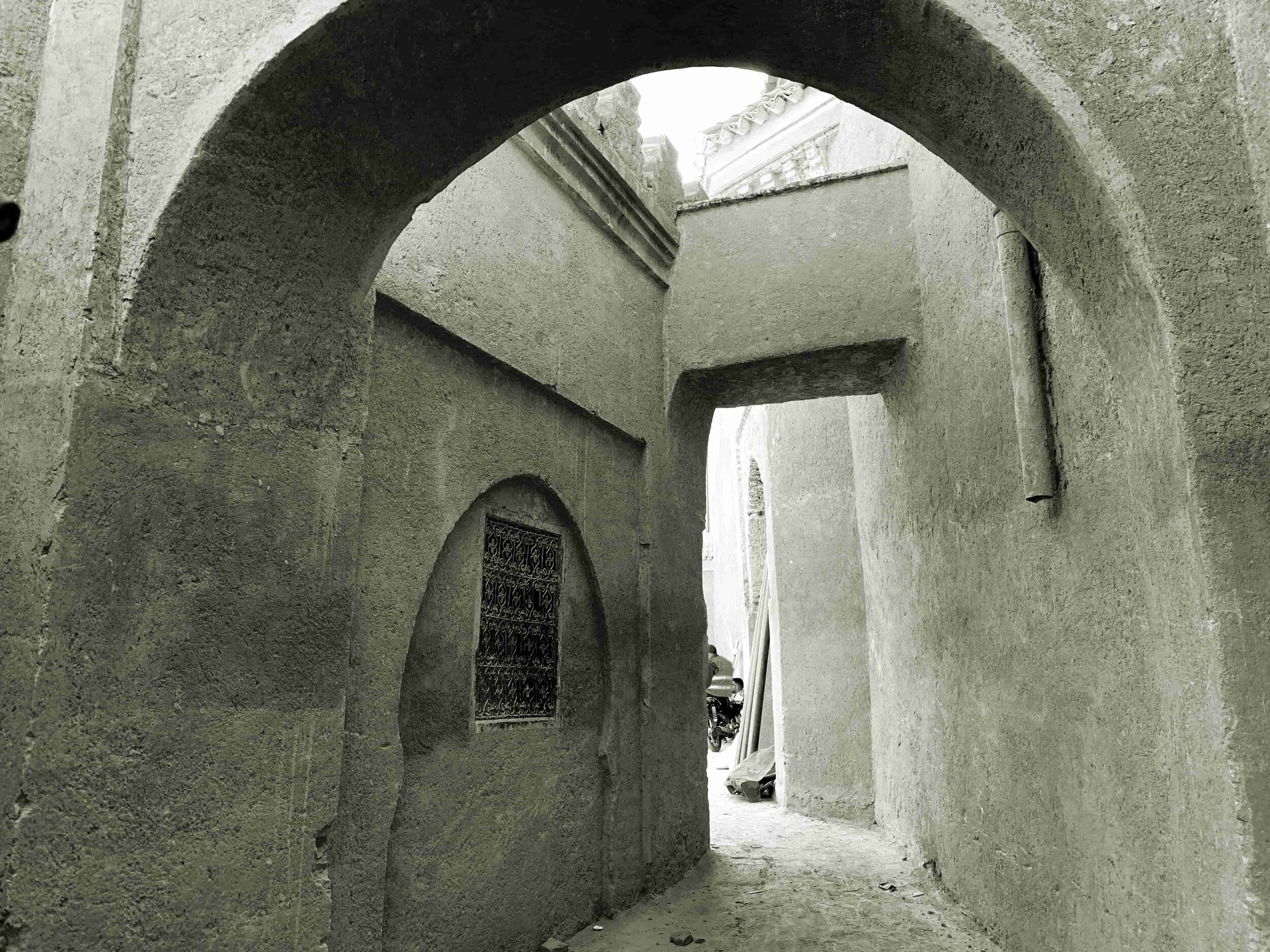
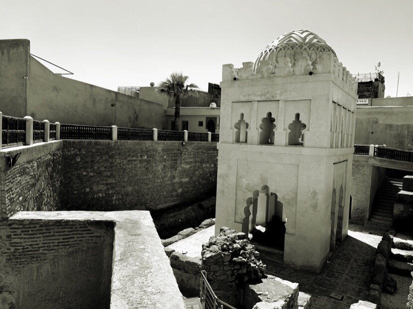
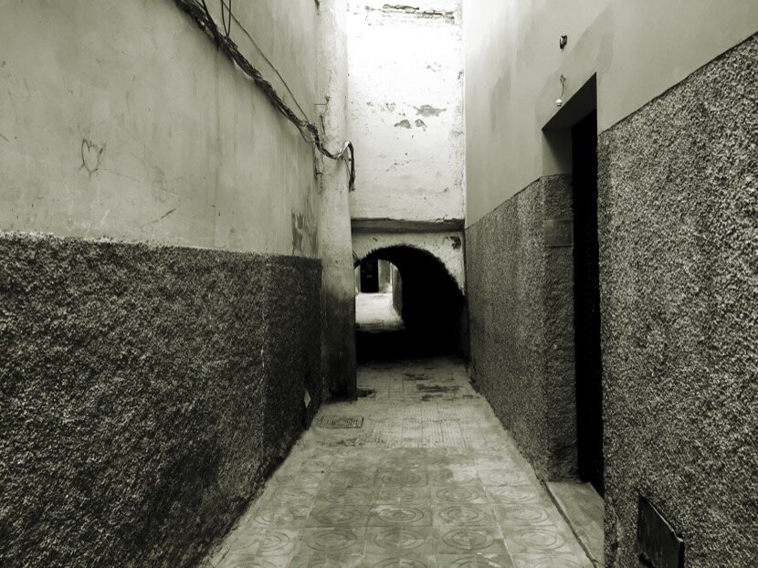
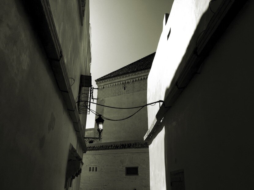
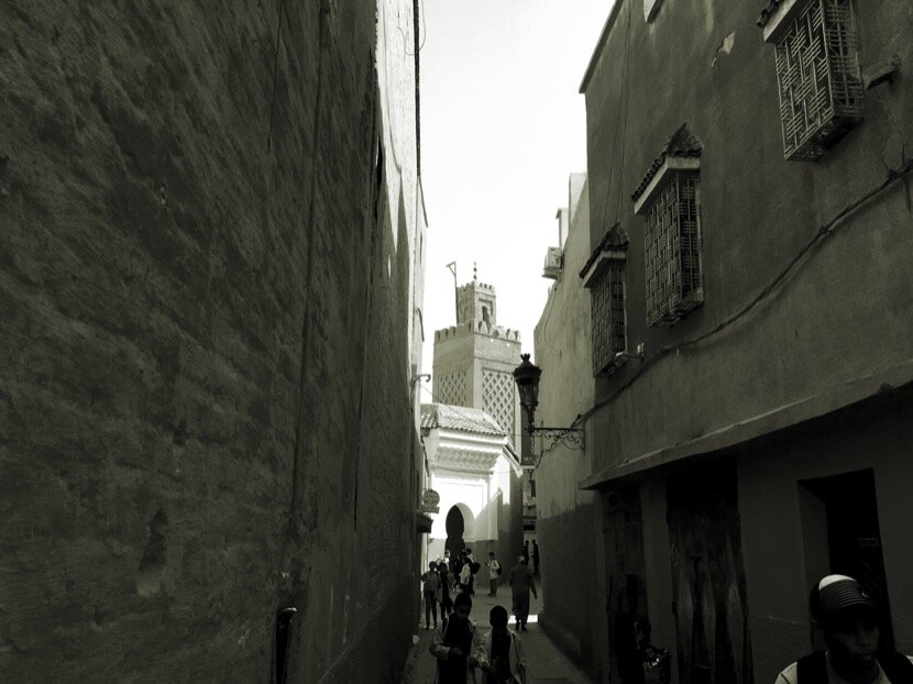
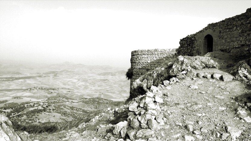
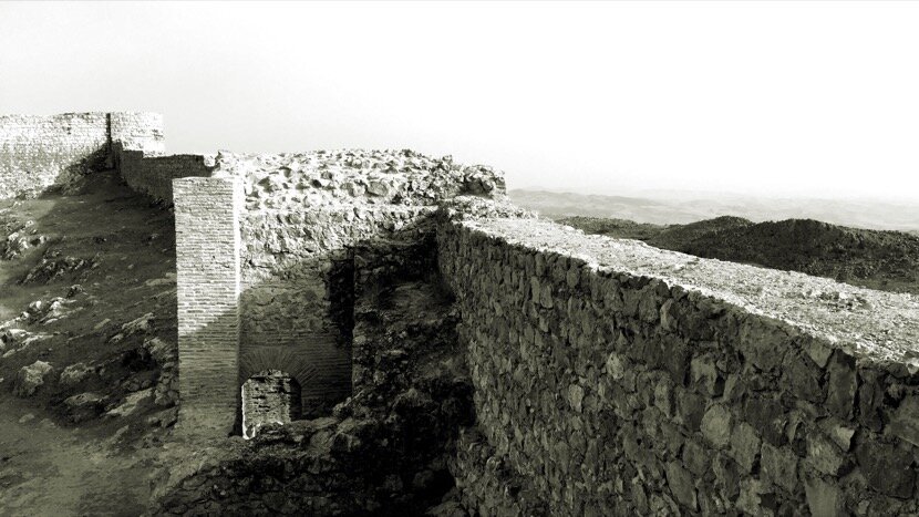
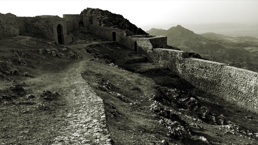
Among the traces of civilizations that have passed through Ceuta, and of which we were aware at the end of the 20th century Ceuta, we can mention the medieval Islamic walls and towers, the Portuguese walls, the Merinid city, the fortifications of Almina and Mount Hacho and the border fortifications (19th century). It was not until 2002 that we discovered the Caliphal gate (inside the 16th century Portuguese fortification), a fact that later triggered a whole series of works and discoveries about the Roman, Byzantine and Umayyad periods.
Nevertheless, the historical importance of a place cannot be measured solely by the heritage that civilizations have bequeathed to us. For example, in Ceuta we do not have a fortification, or any other type of reference construction, built by the Almoravid dynasty, when they had to conquer and occupy Ceuta during the 11th and 12th centuries in order to control the Strait, ensure the expansion of their empire and their dominion over the Caliphate of Cordova; they did not actually have the need to build new fortifications because those built by the Umayyads in the 10th century were so efficient that they were in operation for 600 years. Despite this lack of Almoravid vestiges in our city, the role of Ceuta during the 11th century was, however, important, not only as an obligatory passage for the caravans that came from the Sahel, but also because it was the cradle of two characters that became key figures in the main city founded by the Almoravids, Marrakech.
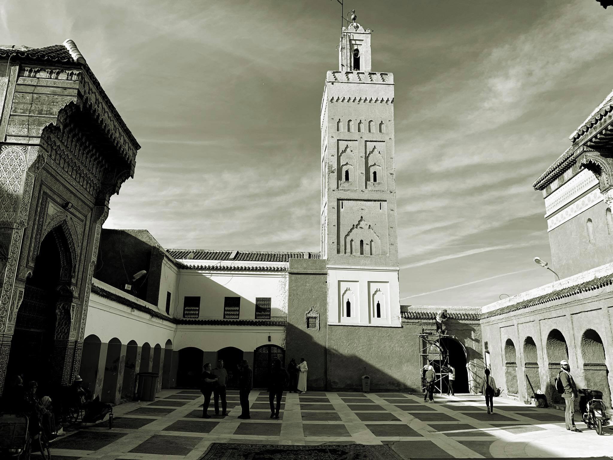
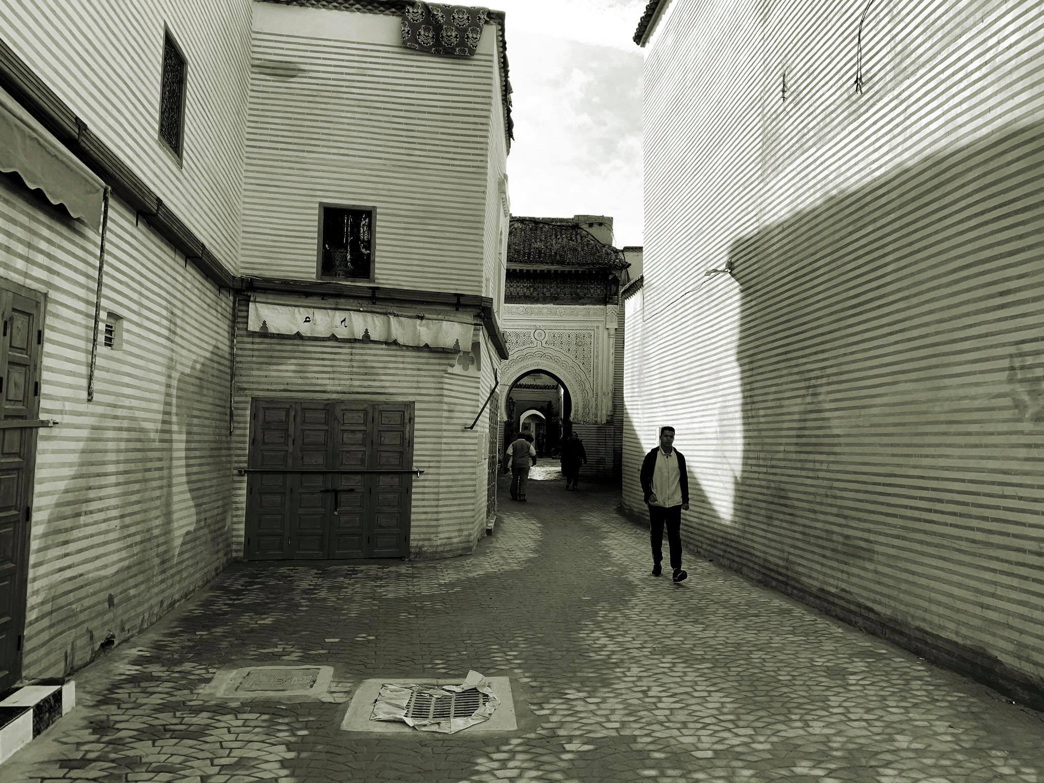
2.1 Ceuta and Marrakech
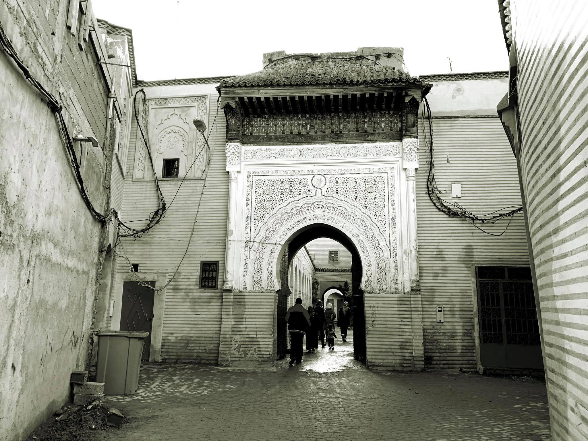
In 1998 I won (with my brother José Luis) a small architecture competition for the Ceuta City Council to rehabilitate the three marabouts of Ceuta; Sidi Embarek, Sidi Ibrahim and Sidi Bel Abbès. To document ourselves, we asked José Luis Gómez Barceló for a historical memory, thanks to which I learned that the last one had been born in Ceuta in 1129 and that he was venerated by the inhabitants of Ceuta in his marabout (which is in the El Sarchal neighbourhood, only 10 minutes walk from my office), but I was even more surprised to learn that he was one of the 7 saints of Marrakech, the city in which he died in 1204 (during the Almohad dynasty). At that time, 1998, I did not know how important Sidi Bel Abbès was, it was not until my first visit to his zawiya in Marrakech, in 2014, that I became aware of what he represented for the inhabitants of the city, visiting the buildings built around his marabout. From now on, every time I stay in Marrakech, I try to go through his zawiya to pay tribute to him and feel proud of my countryman.
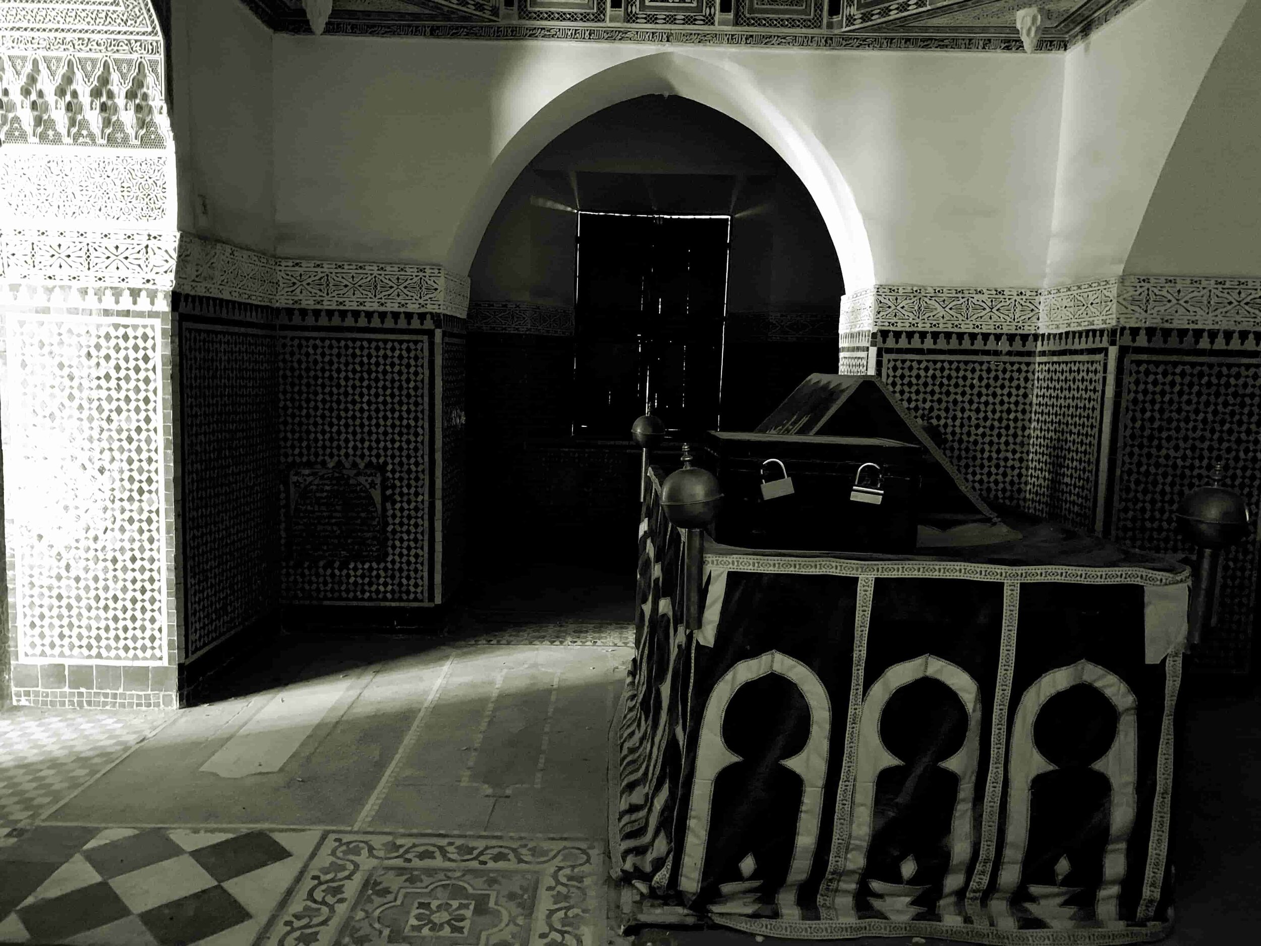
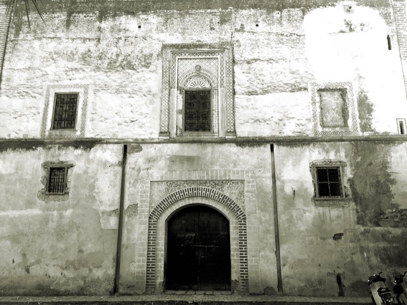
Sidi Bel Abbès marabout in Ceuta
Sidi Bel Abbès zawiya in Marrakech
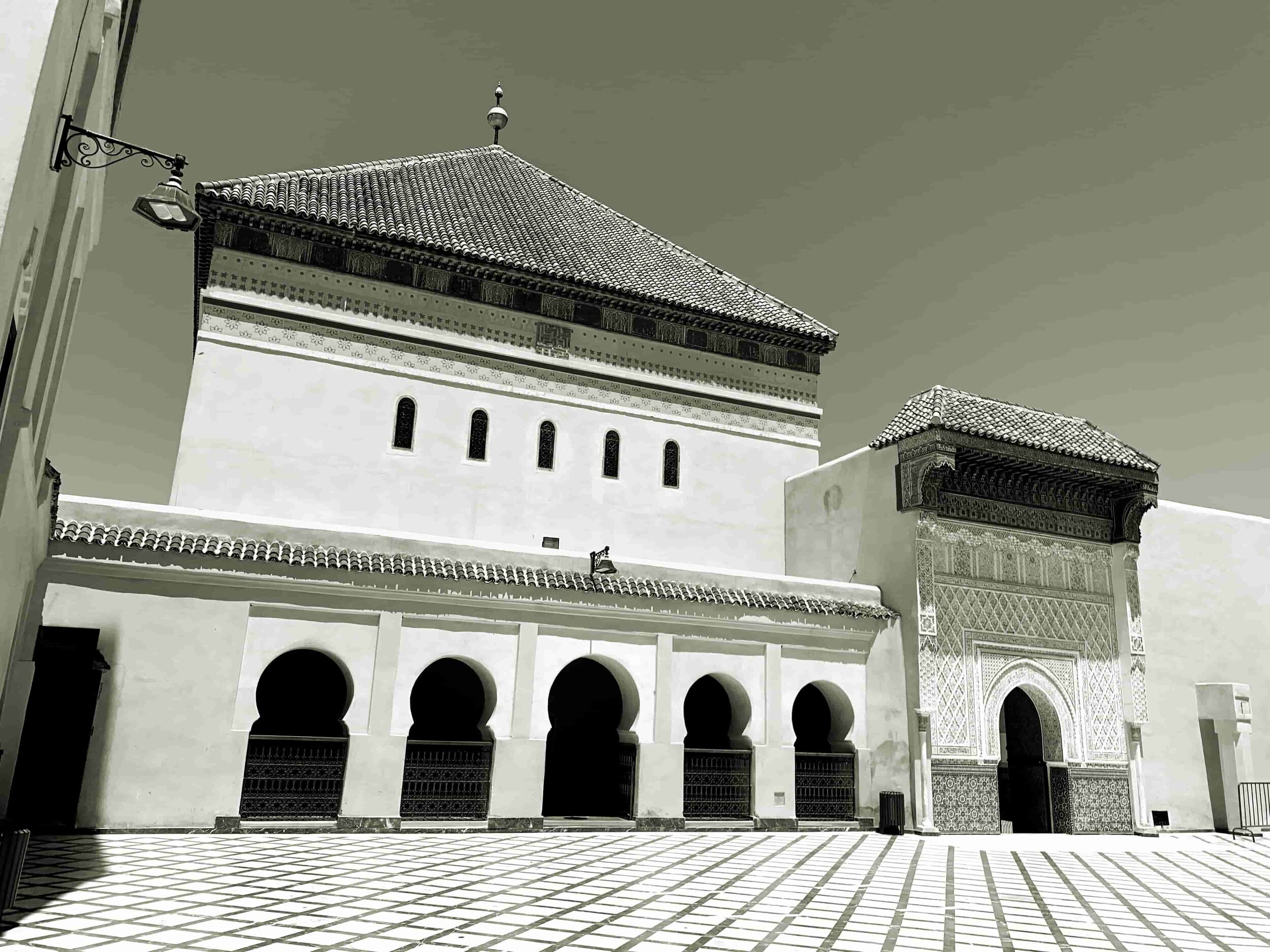
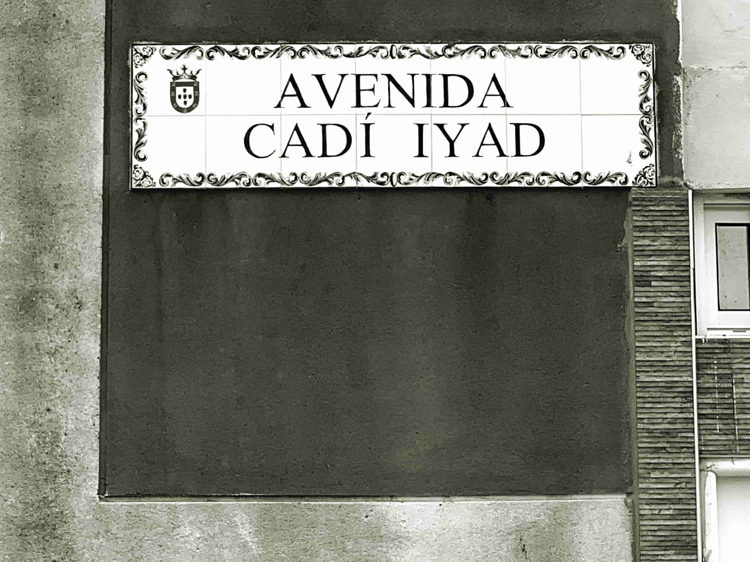
Another character with a similar background, born in Ceuta during the Almoravid period in 1083 and died in Marrakech during the Almohad dynasty in 1149, is Cadi Ayyad. I must admit that only in 2018 I did learn he was from Ceuta. While I was walking through my city, I read a plaque on a street, “Avenida Cadí Iyad”, I said to myself, “look at him, like the one that gives its name to the University of Marrakech”. My surprise was greater when I looked and read that he was from Ceuta and had also become, like Sidi Bel Abbès, a saint in Marrakech. I instantly asked myself a question: “What did they find in Marrakech for the two of them to settle down and end their lives there?” I told myself that I would have to look for the answer precisely in Marrakech and in the places that were connected to this city.
Cadi Ayyad zawiya in Marrakech
2.2 Marrakech
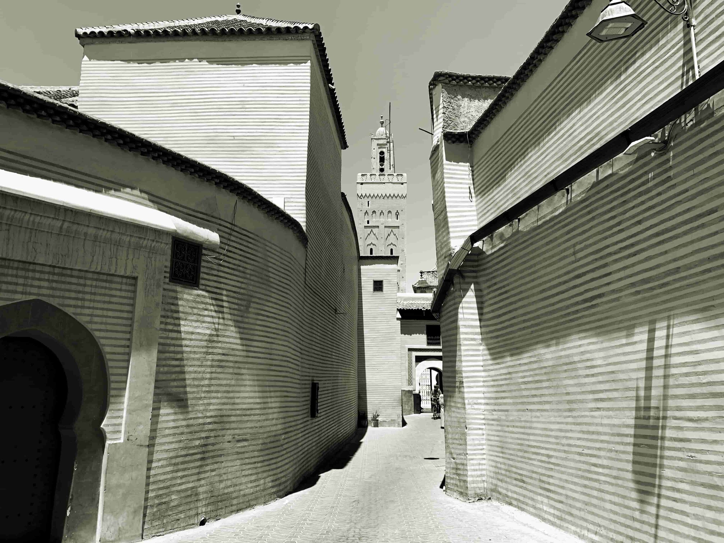
In 2011, I went to Marrakech for the first time with Younès Rahmoun who had to visit a site for a possible commission (Nakhla) as part of the Alliances Foundation sculpture park project. After a few days, I had the feeling of being in an overly touristy city where visitors could think that they had already seen all of Morocco, a kind of showcase of an entire country. At that time, I had already been in the regions of Guelmim and Tafilalet, and for me the image of Marrakech as if it were the south of Morocco, did not appeal to me, it was too banal as an image. However, the city also offered a more contemporary image than Tetouan or Tangier, cities I was used to. It was by dint of passing through Marrakech on each of my trips to the south that this city began to attract my attention, becoming the city of Morocco where I now spend more time.
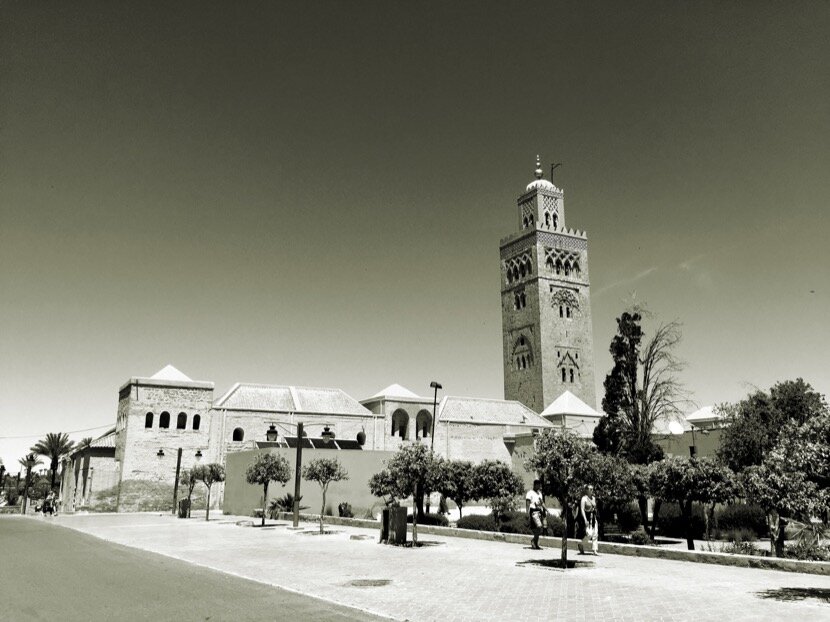
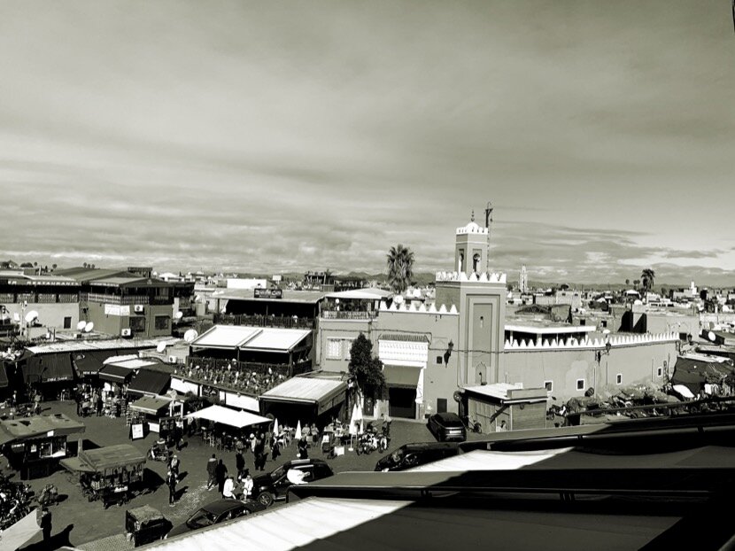
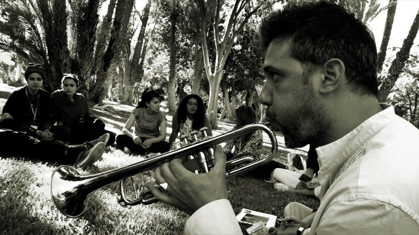
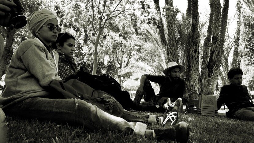
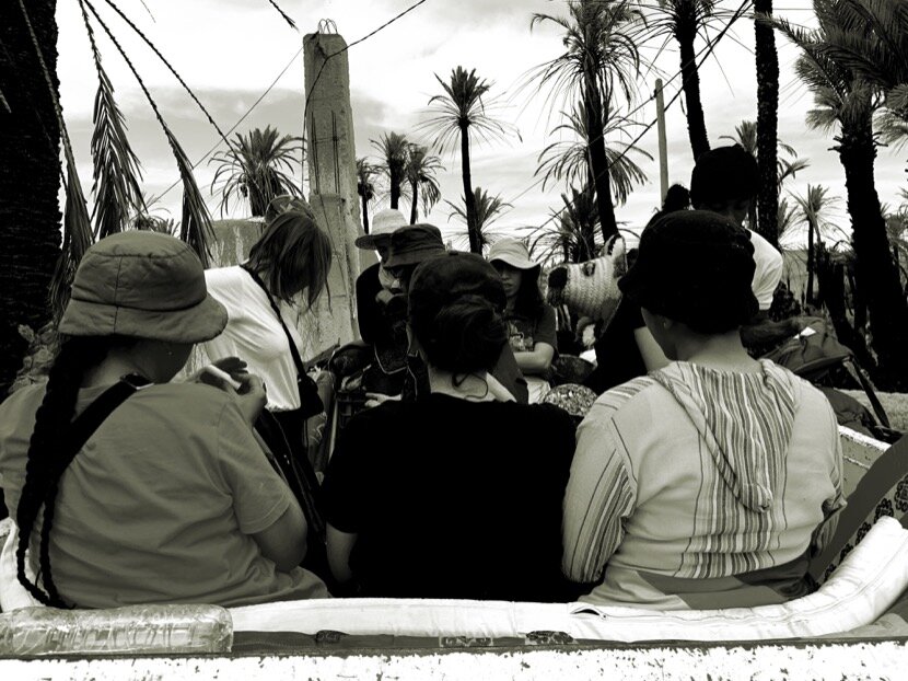
In 2014, during the Biennial of Contemporary Art, I began to immerse myself in the city, in its culture and its people; I did it thanks to my friends from the art world and Caravane Tighmert, since 2015 Marrakech has become a meeting point with the artists participating in the event before going down to Guelmim together. Over time, the numerous invitations to participate in workshops, conferences, round tables, exhibitions and seminars (Biennale d’Art Contemporain, LE 18, Musée de l’Eau…), allowed me to meet artists, cultural activists and researchers who provided me abundant information to get to know the city better, from its foundation in the 11th century to the present day (a city whose construction was started by the Almoravids, completed by the Almohads and transformed by the Saadians), on topics as interesting as the city's fortifications (walls, gates, urban fabric...), the hydraulic system (at various scales; neighborhood fountains, distribution fountains, water reservoirs, khetaras, Hauz hydrography...), the social and spatial organization of the neighborhoods, infrastructures (caravan routes, roads, railways, airports...), relations with the territory, the role of the city throughout history, economic development, its culture and its contemporaneity... In addition, the research carried out in the desert on caravans, nomadism, heritage, geography... showed me the complexity of Marrakech due to the fact that it is closely linked to a territory between Mauritania (and Mali ) and the Mediterranean, even today.


It is precisely through contemporary culture (the Contemporary Art Biennale lasted until 2016, the 1-54 Contemporary African Art Fair that took over from the biennial in 2018, the On Marche contemporary dance festival and other events and culture centers) that I understood the notion of center, crossroads or pole of reference, on a national and continental scale, configuring the identity of a 21st century city, which in certain aspects could be very close to the status of Marrakech during the Almoravid, Almohad and Saadian periods and that could very well explain why Sidi Bel Abbès and Cadi Ayyad settled in this city.
One of the issues that fascinates me the most about Marrakech is the possibility it offers to combine history and contemporaneity in different dimensions but in the same geographical space.
In addition, Marrakech retains a certain cosmopolitanism but that goes unnoticed by most visitors, the fact of having been a crossroads also implies the reception of immigrants for centuries, a population that settled with their own (usually members of the same tribe) in specific neighborhoods of the medina, that is, part of the spatial organization of the medina is linked to the social organization, this is tribal, hence the need to know more about the tribes of Morocco.
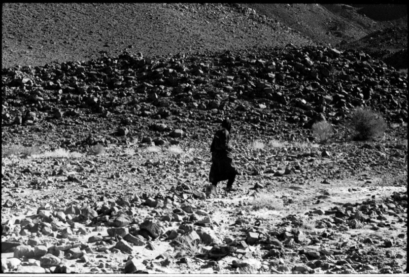
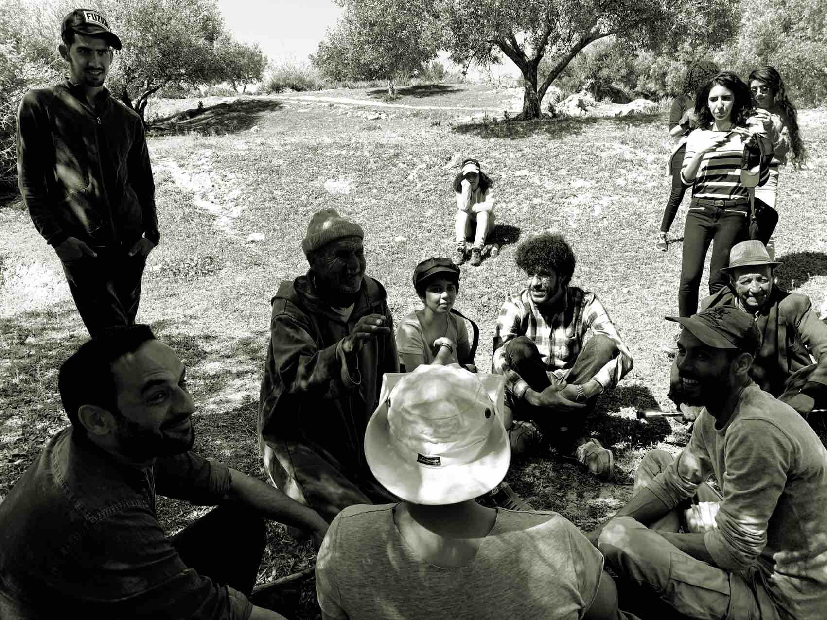
3. tribes
In 2015, after having visited all the ksour, zawiyas and kasbahs of the Drâa valley in Zagora, that gave rise to the architectural heritage guide plan (and its conferences), I became aware of the importance the tribes still have today in the spatial organisation of the territory and in social (and political) life, at least south of the High Atlas mountains, particularly in oases and nomadic regions. Tribes could be considered as an intangible heritage that has left its traces in architecture, urbanism, gastronomy, music, dance, poetry... Berber, Arab, Draouis, Sahrawi, Jewish and Christian tribes forged during centuries what we know today as Morocco. What makes this understanding even more difficult, and at the same time fascinating, is the nomadic origin of most of these tribes, so if we do not strive to understand what nomadism is, we will never understand the process of transformation and of conformation of the identity of all those countries in which a part of the population has been, or continues to be, nomadic. To add a little more complexity, we have the Sahara, a geographical space that has witnessed for centuries the movements of nomadic tribes between the Maghreb and the Sahel, becoming a space for transmission and exchange that has resulted in a mixture cultural and social that continues today. In the same way that I highlighted the cosmopolitanism of Marrakech, the Sahara could also be considered as a cosmopolitan space, which could be contradictory considering the low population density in this region.
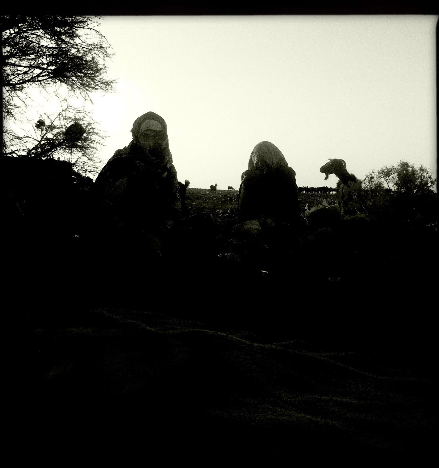
This nomadic perspective is important, despite the disappearance of great nomadism due to several factors; the closing of borders (for decades); periods of drought; changes in the governance of the countries that share the Sahara. However, the presence of nomads within the borders is still perceived, yes, with groups reduced to a family unit instead of camps with hundreds of Khaïmas like those that existed before the independence. In Morocco, these nomadic families move between well-defined geographical areas such as the Mediterranean coast, the High Atlas mountains, the Ziz and Ghegris valley, the Drâa valley, the Bani, the Noun river basin, Saghia al-Hamra and Gold river. Having been able to share trips with nomads from these regions gave me another vision, completely different, of these parallel worlds, being able to find many answers to questions that arose during my research on the oases, although these encounters raised new questions that forced me to go even deeper and geographically move away from southern Morocco.
One of the things that most caught my attention was the importance of the tribes in the identity of southern people. For example, during casual encounters between nomads, after the five minutes of courtesy greetings, the first question they asked each other was: What tribe are you from? Instead of, what city are you from? This identity role of the tribes offers me a magnificent topic of conversation with my friends when it comes to delving into their family histories and their origins. Many of them are either from the south or have connections with it, regardless of whether they live in the north or in the center of the country; Dabah, Arejdal, Bouhchichi, Hida, Abyad, Lakrissa, Fakhir... With them (and many others) we take advantage of cultural activities to carry out researches on their respective territories, which leads us, in most cases, to new areas of exploration: Tighmert, Assa, Akka, Zagora, Rissani, Figuig, Marrakech, Ouadane ...

I have to clarify that in the main Moroccan cities there is not great interest in the pre-Saharan and Saharan provinces, considered as "poor" regions without culture, only with folklore, forgetting that many of the Moroccan dynasties have their origin in nomadic tribes of the desert; Almoravids (from the Adrar in Mauritania); the Almohads (High Atlas); Merinides (region between Rissani and Oujda); Saadians (Zagora); Alawites (Tafilalet). It is precisely the dominance of these dynasties over Morocco, and beyond the current borders, which makes it difficult to understand the relationships between tribes and territories, especially if we take into account nomadism and the desert, by transforming North Africa into a temporal and spatial puzzle.
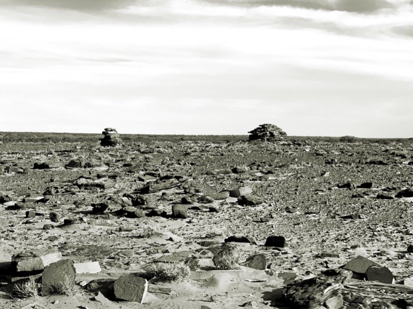
Brahim Ould Alien itinerary, from October 1951 to February 1952 (Estudios Saharianos, Julio Caro Baroja)
Mohammed Abdallah displacements during his life and till 1952 (Estudios Saharianos, Julio Caro Baroja)
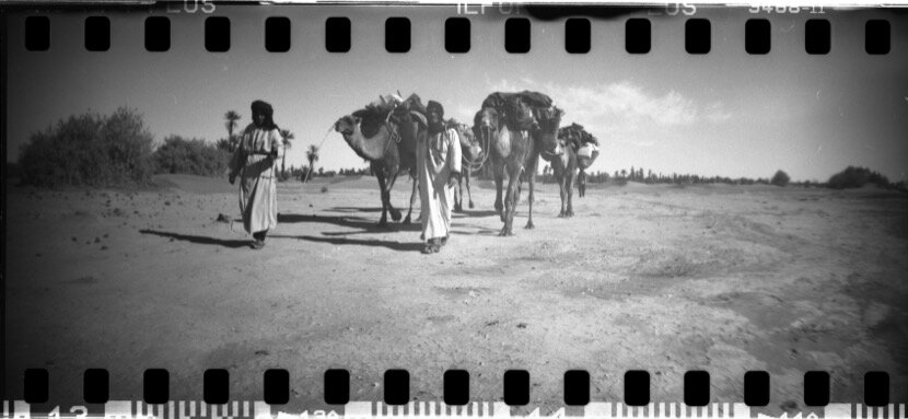
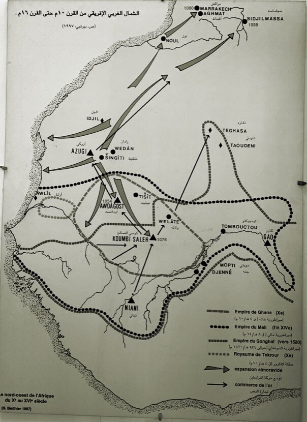
We are going to use one of the tribes as an example of this complexity, the Sanhadja, who with the Zenetes and the Masmoudas gave rise to the Almoravid dynasty. For centuries, these tribes (sedentary or nomadic) settled or moved in territories between the Senegal River and the Mediterranean. They were (and some of them still are) in the Rif, in the Middle Atlas, in the eastern part of the High Atlas, in the southeast region, in the Sahara, in the Adrar ... If we consider the power of tribal identity plus the control of the territory, which means the control of transport infrastructures (caravan routes), it would not be difficult to imagine the bases (among others) on which the Almoravid dynasty was built.


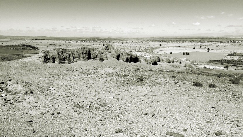
In this network of caravans, and given the low population density at the time of trans-Saharan trade, the role of logistics centers such as Fez and Marrakech was decisive, even more so if we talk about ports, maritime (such as those of Ceuta, Safi, Agadir…) or Saharawi (like Sijilmansa, Taragalte, Tamedoult, Noul Lamta or Adrar in the western region of the Sahara). We are going to stop at Noul Lamta, now known as Tighmert, in the province of Guelmim (Morocco) to better explain what a Saharan port was.
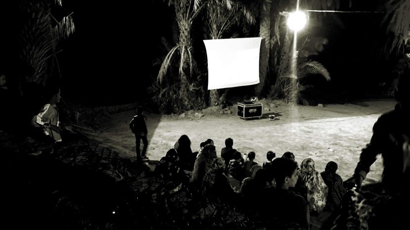
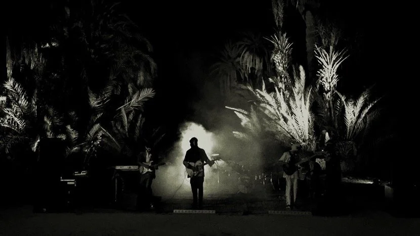
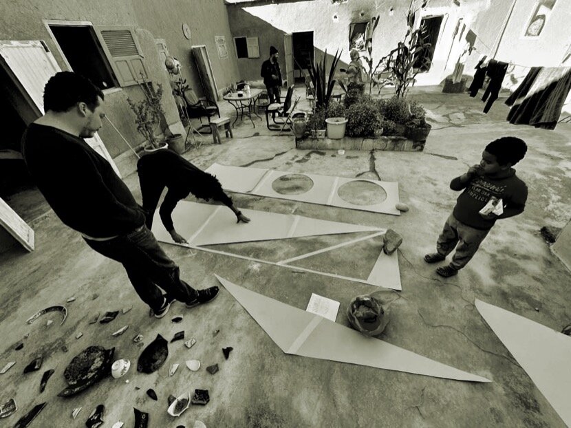
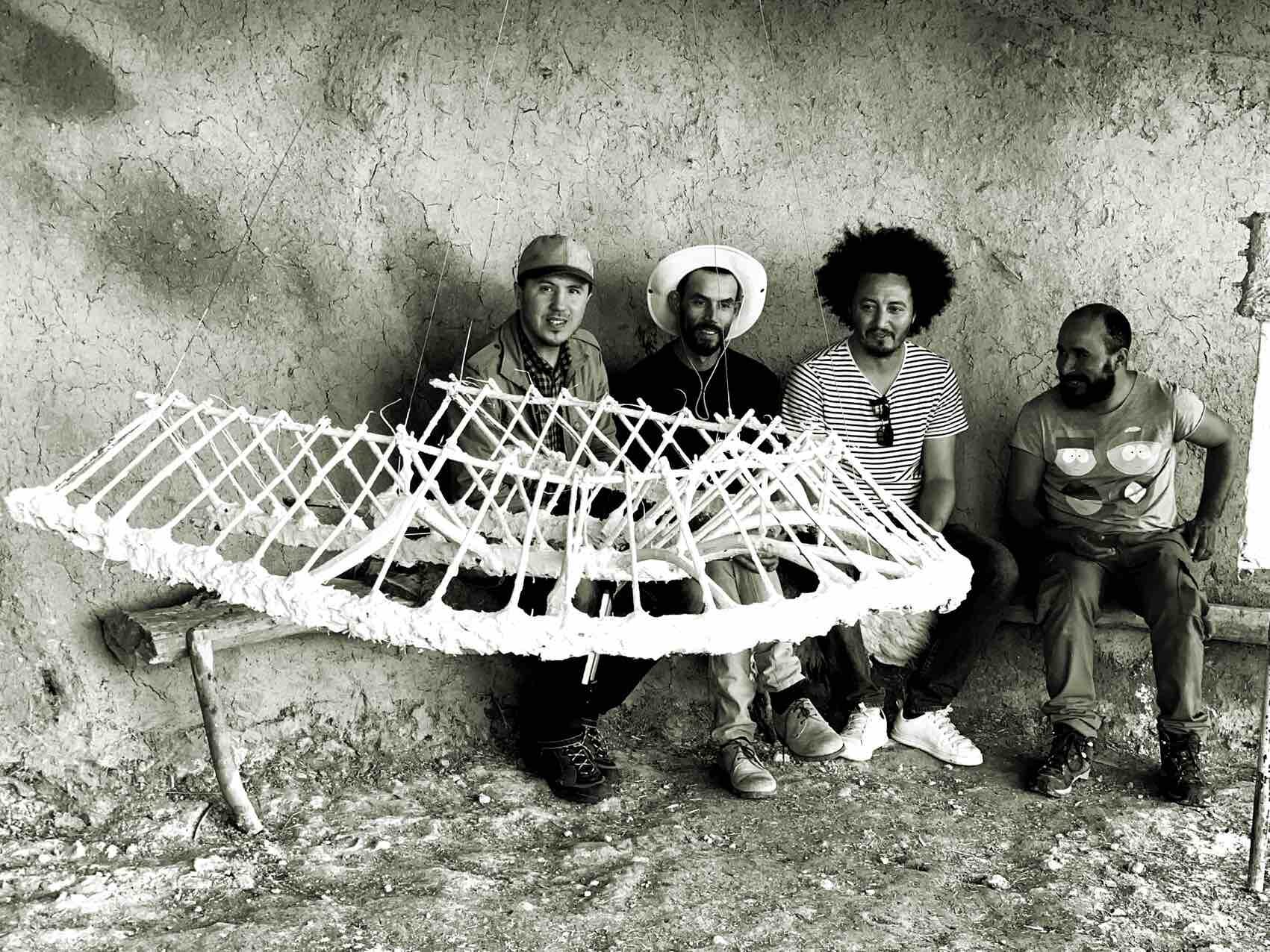
4. Cararavane Tighmert
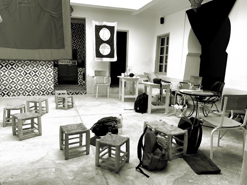
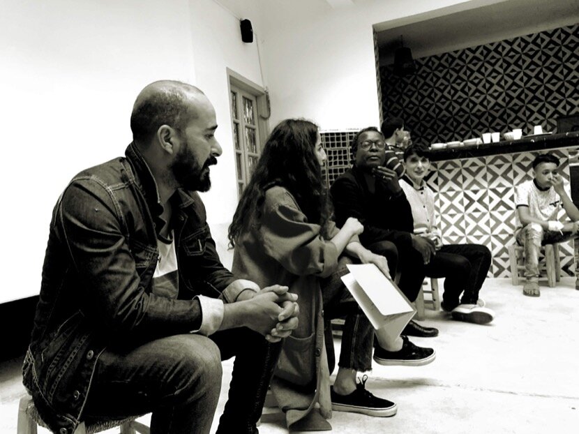
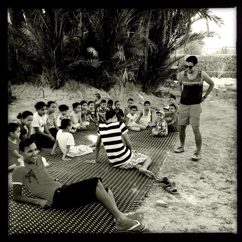
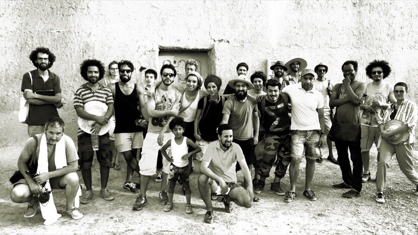
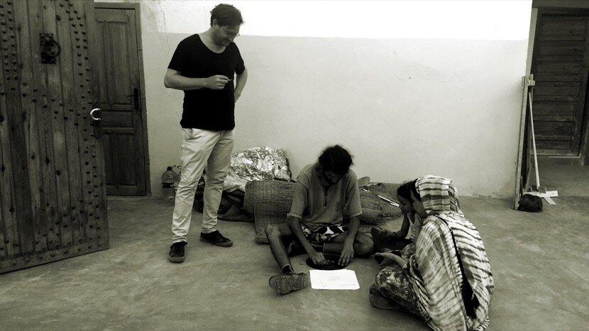
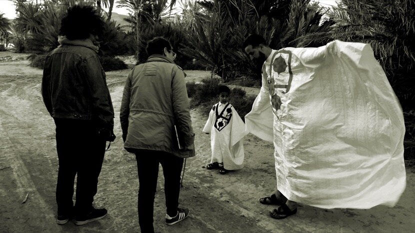
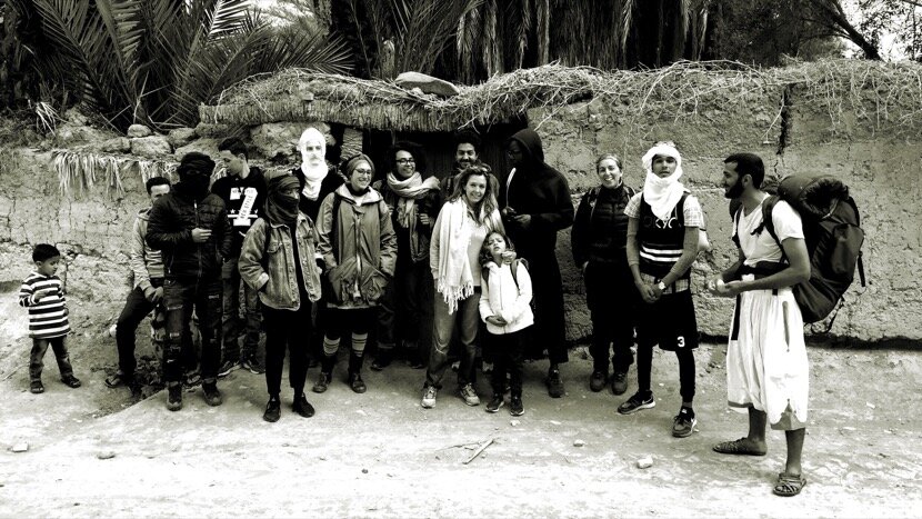
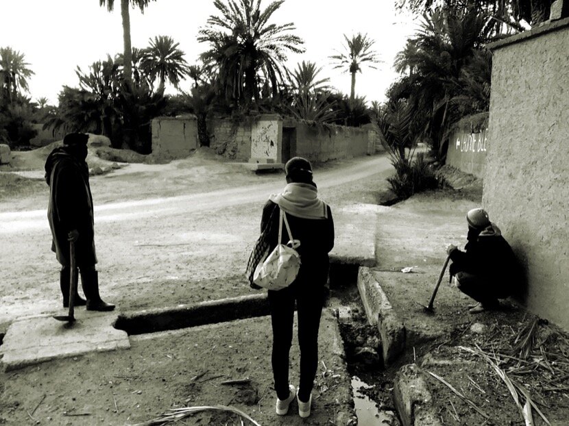
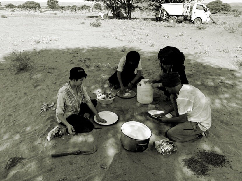
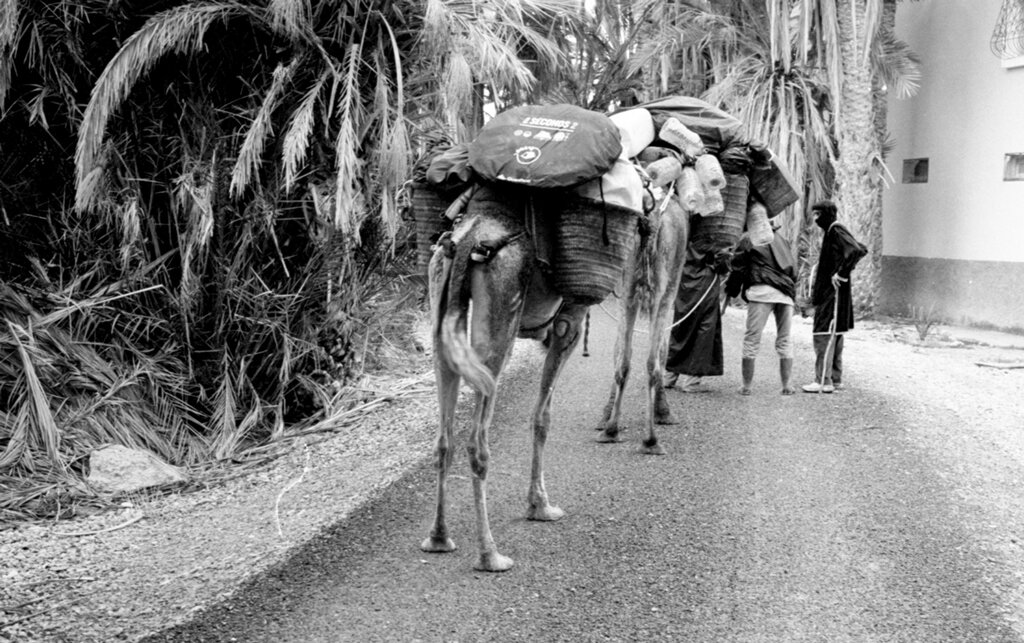
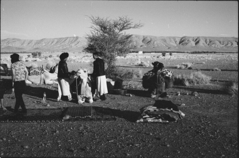
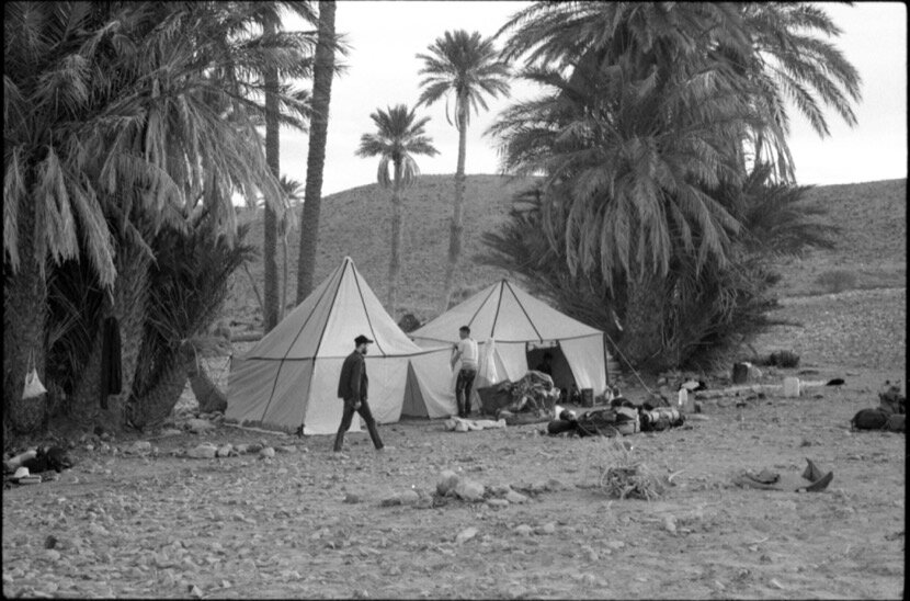
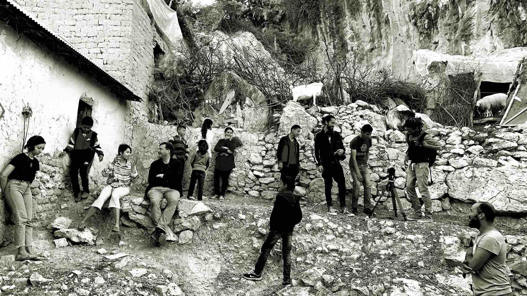
After the first trip to Tighmert, Guelmim, in January 2010 (with Mohamed Arejdal and Younès Rahmoun), this oasis has become one of my references in the south, thanks to the friendship with the Dabah family, the Caravane Tighmert organisation and its history, although at first, the references to which they alluded as the gate of the desert seemed to me exclusively intended for tourists, that is, not very credible. Over time, the information shared with friends from other southern regions, the cultural activities we did and the researches, I realised, on the one hand, the importance in the history of Morocco of this small oasis, on the other, how this history could become the basis of contemporaneity at different levels.
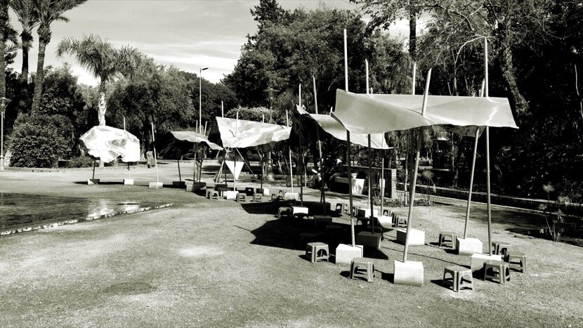
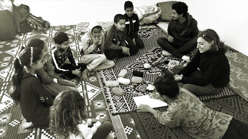
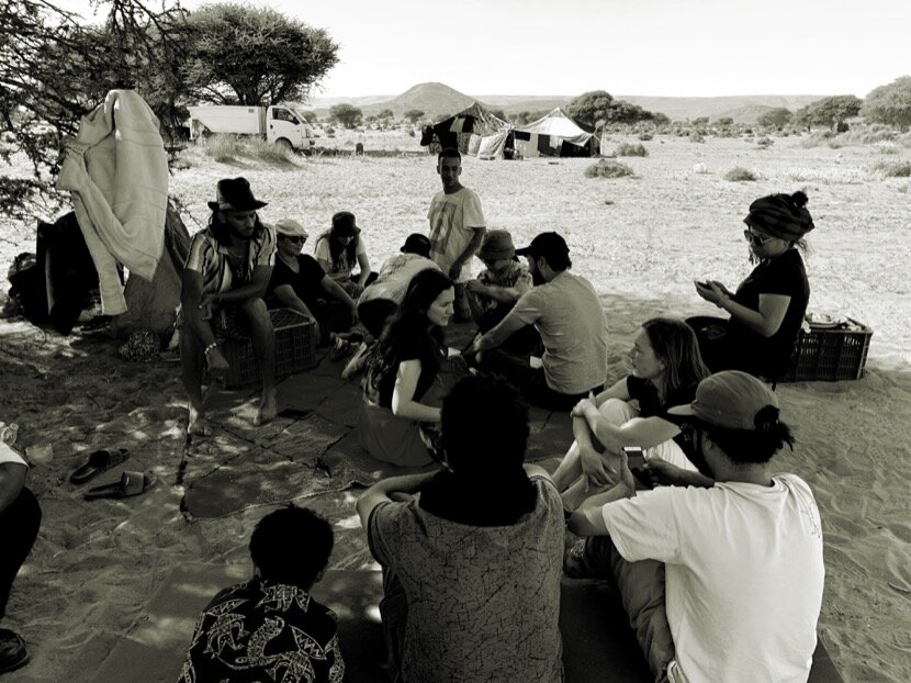
Thanks to Caravane Tighmert we have been able to delve into its roots (architecture, agriculture, nomadism, water management, sociology, dance, music, poetry, geography, geology, spatial planning, history...), taking advantage of the fact that each artist came to Tighmert with questions about a local topic, so we had to give them information with the help of the inhabitants. As the desert also imposes a series of conditions on us, we have had to deal with all these areas of interest in a coordinated way, making Caravane Tighmert a kind of research and creation laboratory that provides us with valuable data on the present and future of its inhabitants. Data that have helped me to understand the ignorance that young people in cities like Guelmim have of the oases and their cultures, and how people of the oases are unaware of the reality of the nomads who pass through their territories, nomads who live in their worlds in a parallel dimension. If we put the realities of cities, oases and nomadic territories in perspective, we will see the enormous gap that separates these habitats in their lifestyles and in their thoughts. It seems clear that the development of cities is marked by an idea of modernity, but in southern Morocco we can still find millennial lifestyles and ways of thinking that could give rise to the contemporaneity of cities. This is one of the many conclusions that we have reached thanks to working with artists in an oasis, on topics that are more related to the future of a territory than to the past.
But Tighmert has other interesting geographic specificities. If we compare Noul Lamta with the oases of the Ziz and Drâa valleys (in Errachidia and Zagora), the importance does not lie in a single palm grove, or a succession of them, but in a network of isolated oases in the Noun river basin and that at that time could be classified as a “logistics pole”, a very different structure of the territory when considering the network of fortresses and zawiyas within the large palm groves (as is the case of Ktaoua, Fezouata and Ternata in Zagora), although it does not mean those were an homogeneous entity because some times, tribal conflicts could provoque divided areas making more complicated the circulation of goods and people.
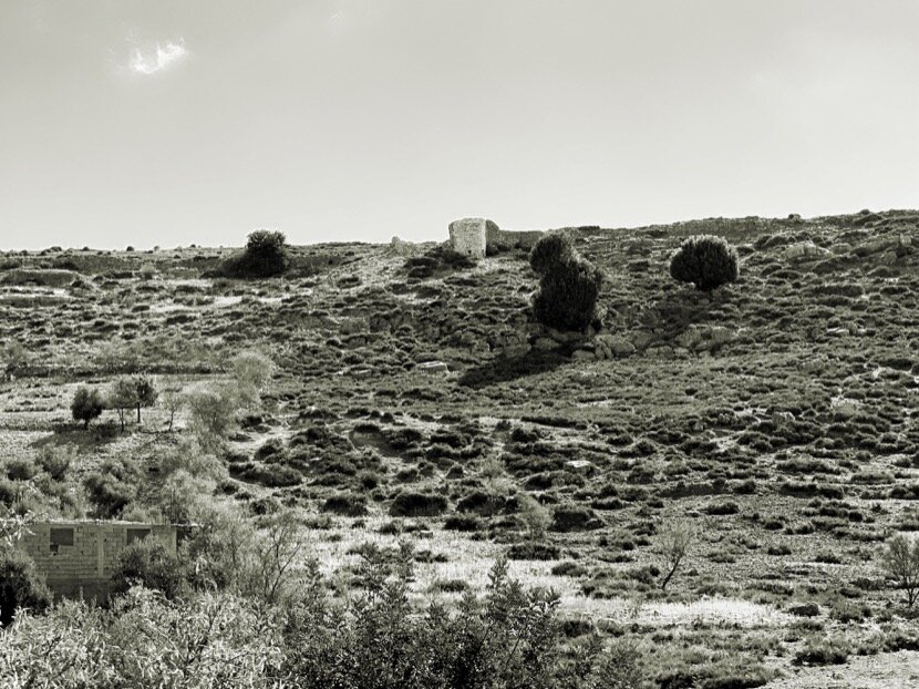
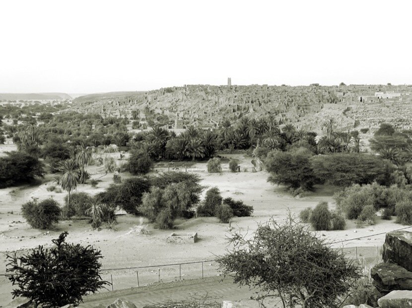
Noul Lamta, Guelmim (Morocco)
The element that characterised these geographical areas was the port; Sijilmasa in the Ziz valley, Taragalte in the Drâa valley, Tamedoult in the Bani and Noul Lamta in the Noun basin. These places were the main arrival and departure points for caravans trade in the Sahara. But what allows us to affirm that there was a connection between Noul Lamta (Tighmert) and Mauritania?
It is true that the concept of caravan as an instrument of transmission (physical and metaphorical) can be very interesting, but also very abstract and vague. We know that Tighmert maintains an intangible heritage shared with other areas of the Sahara; the dialect (Hassanya), music and dance (Guedra, el-Medh, Dabous…), gastronomy, the economy associated with the desert… But, why was Tighmert a Saharan port? What was its correspondence on the southern shore of the desert?
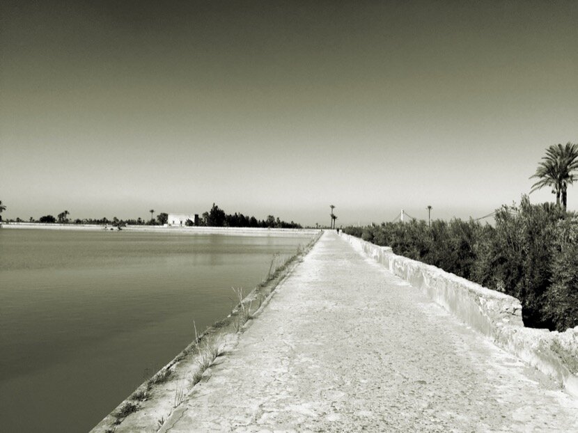
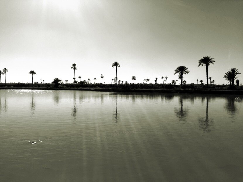
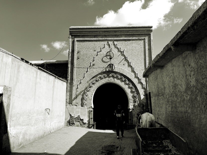
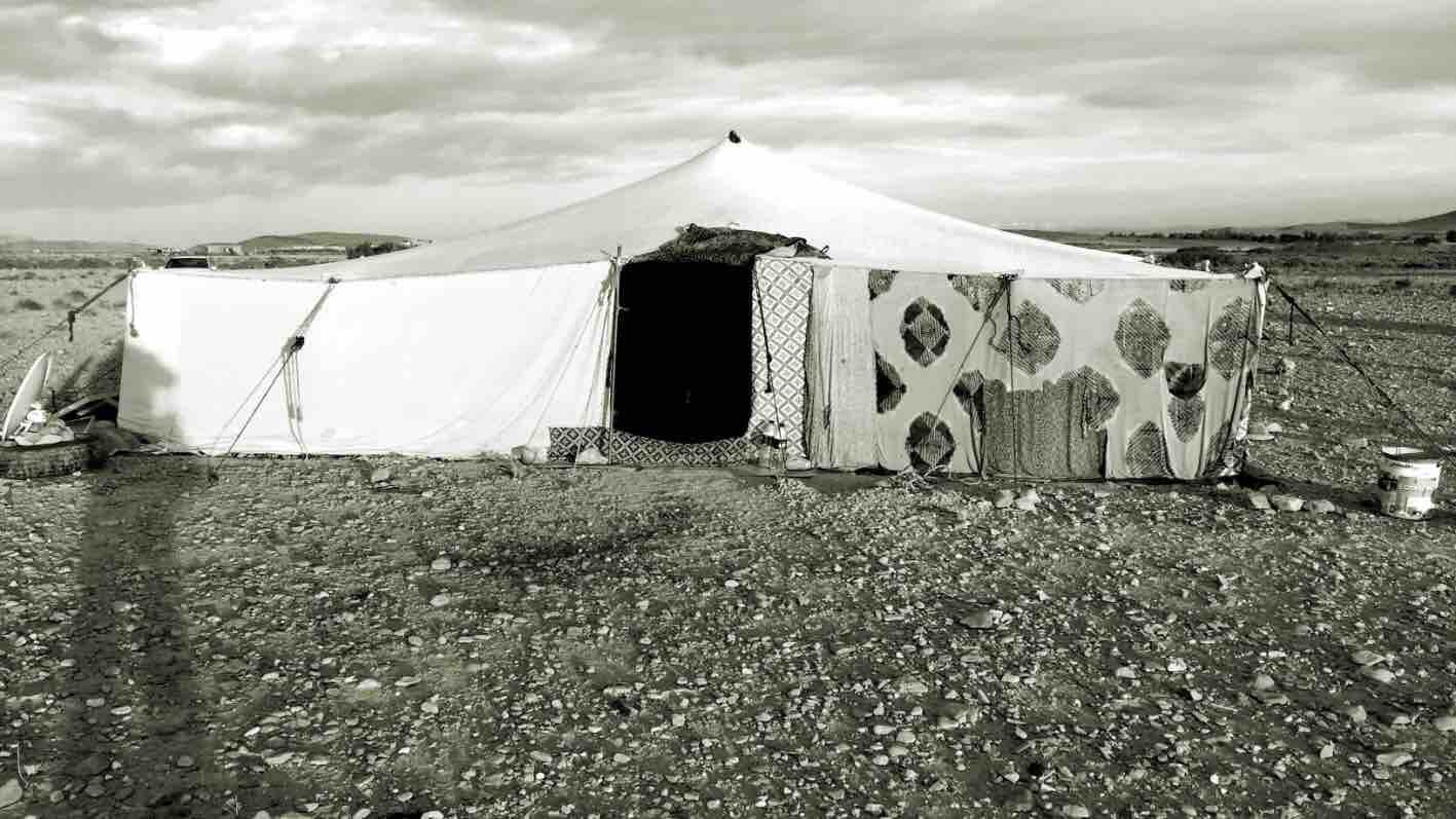
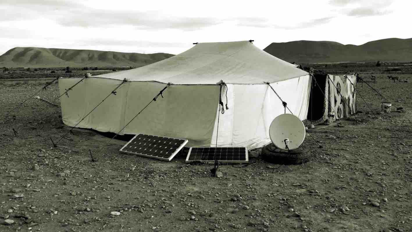
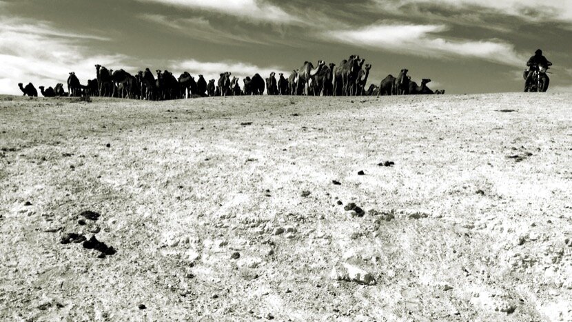
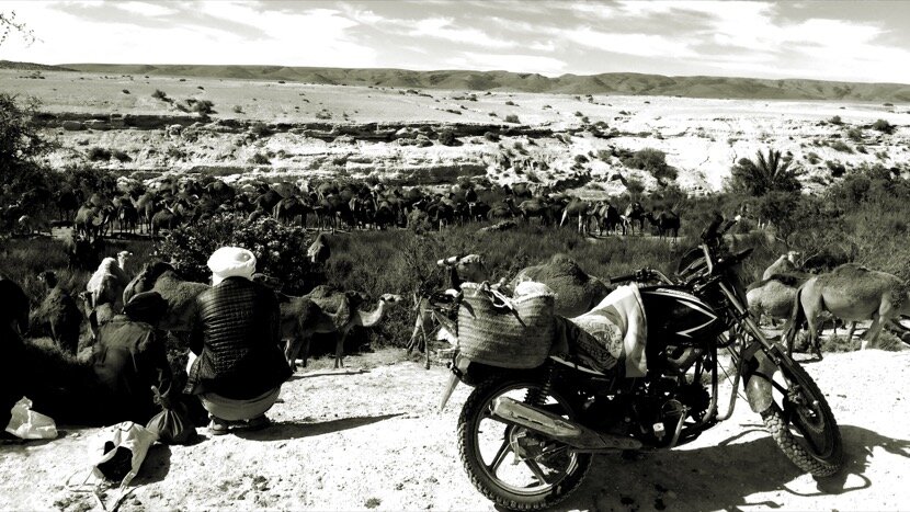
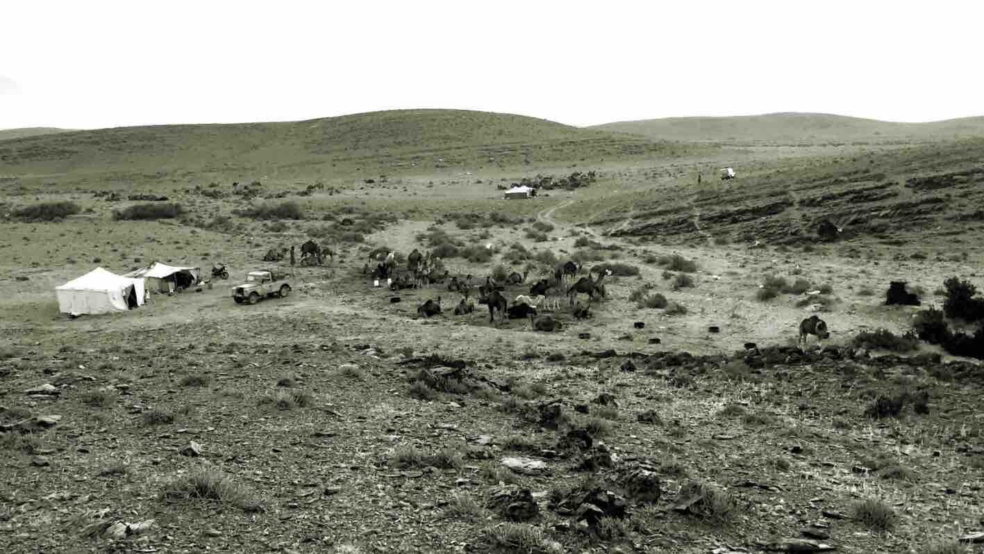
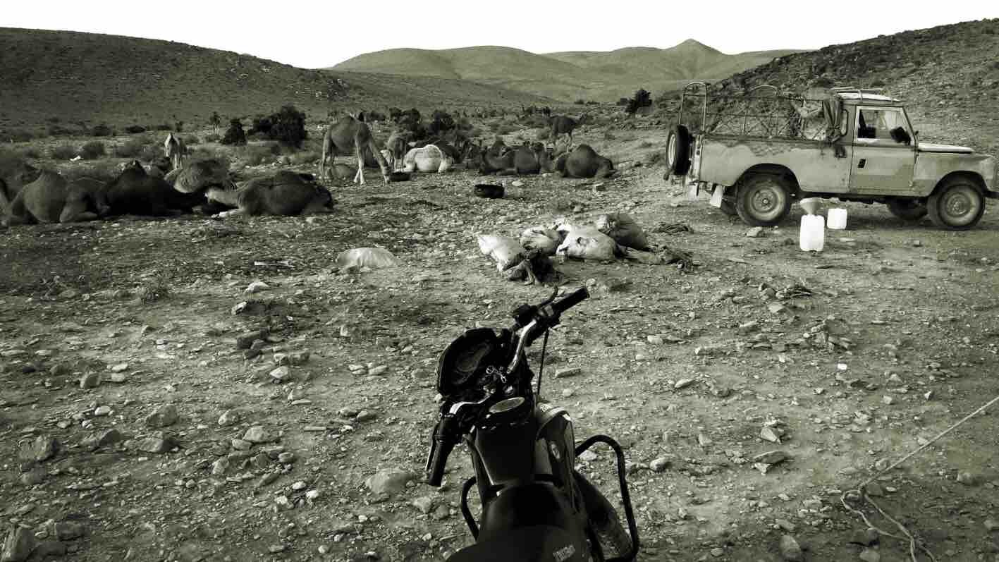
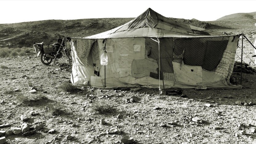
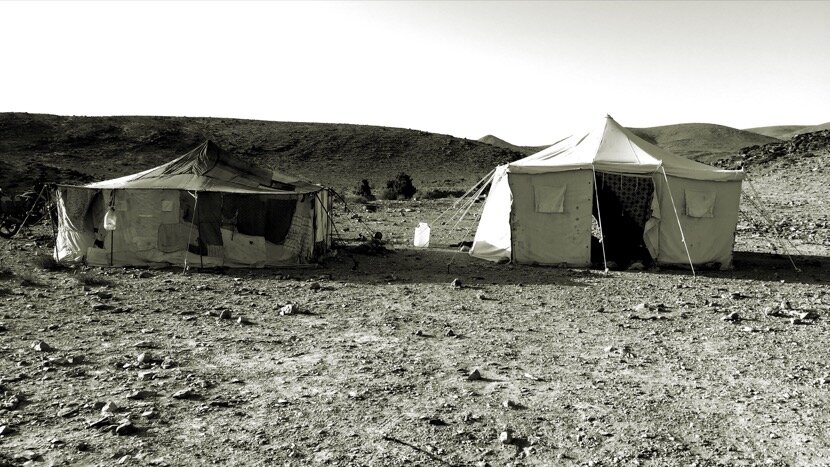
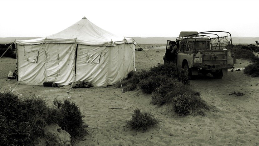
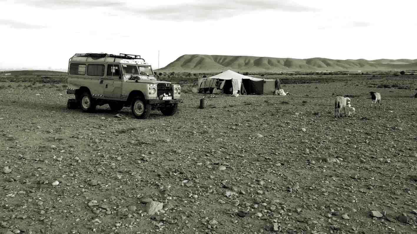
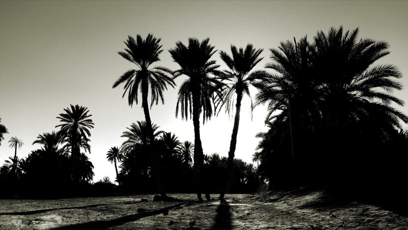
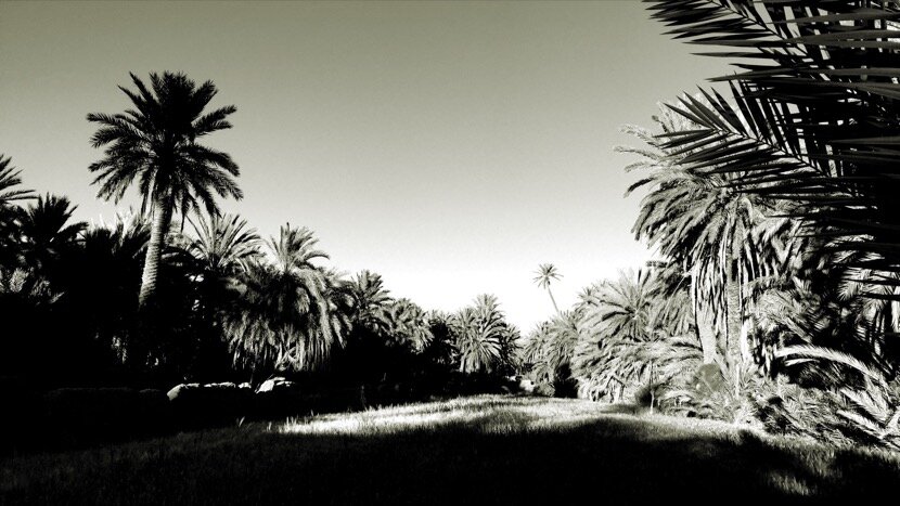
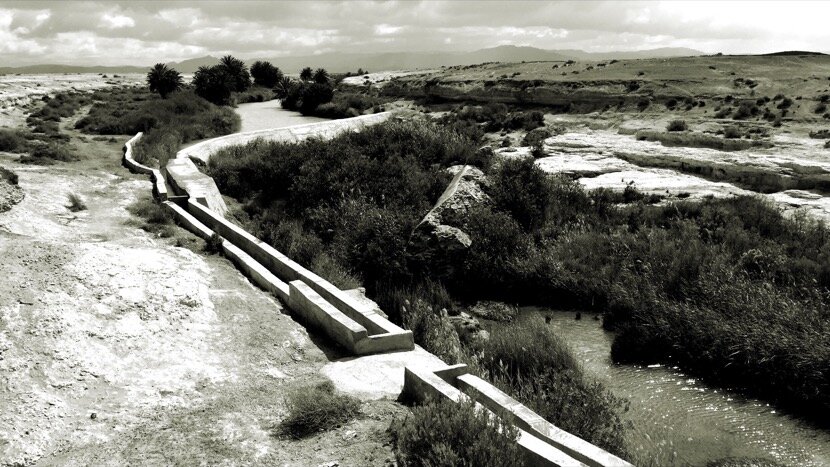
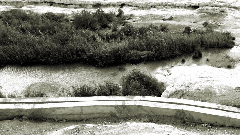
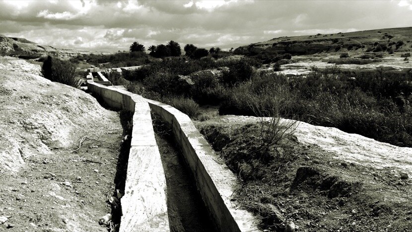
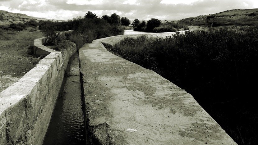
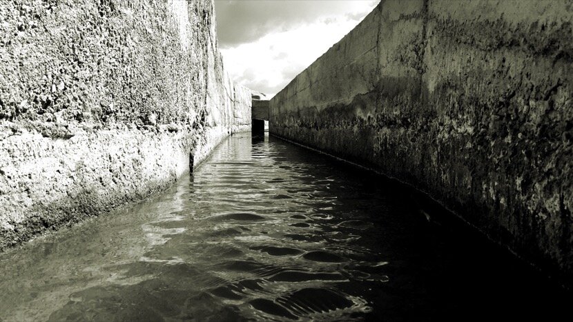
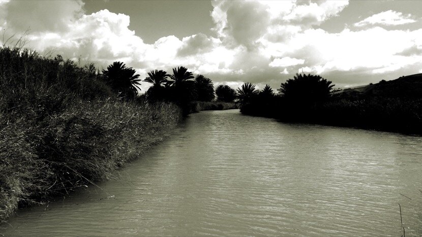
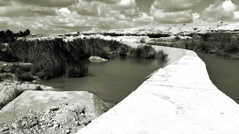
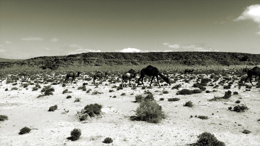
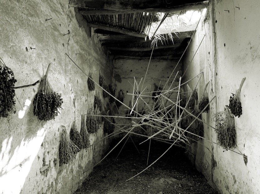
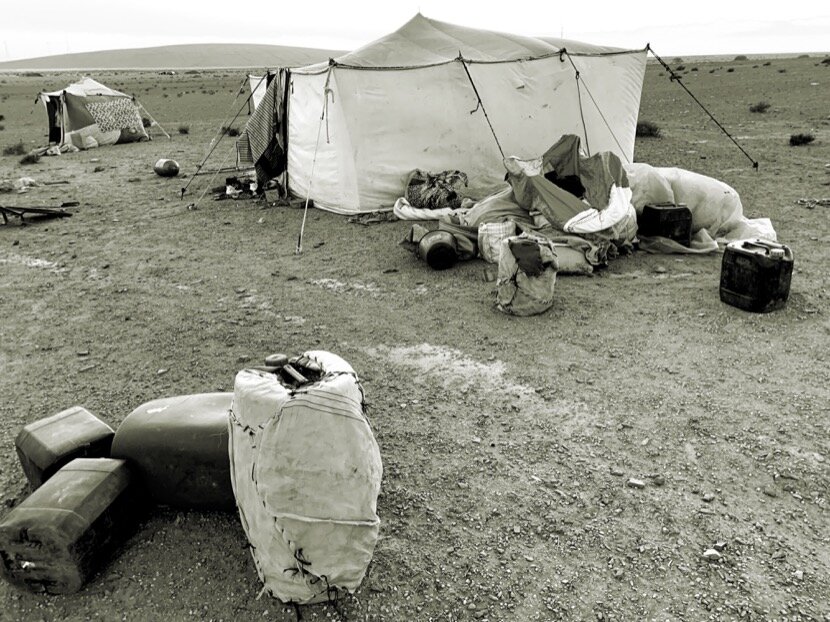
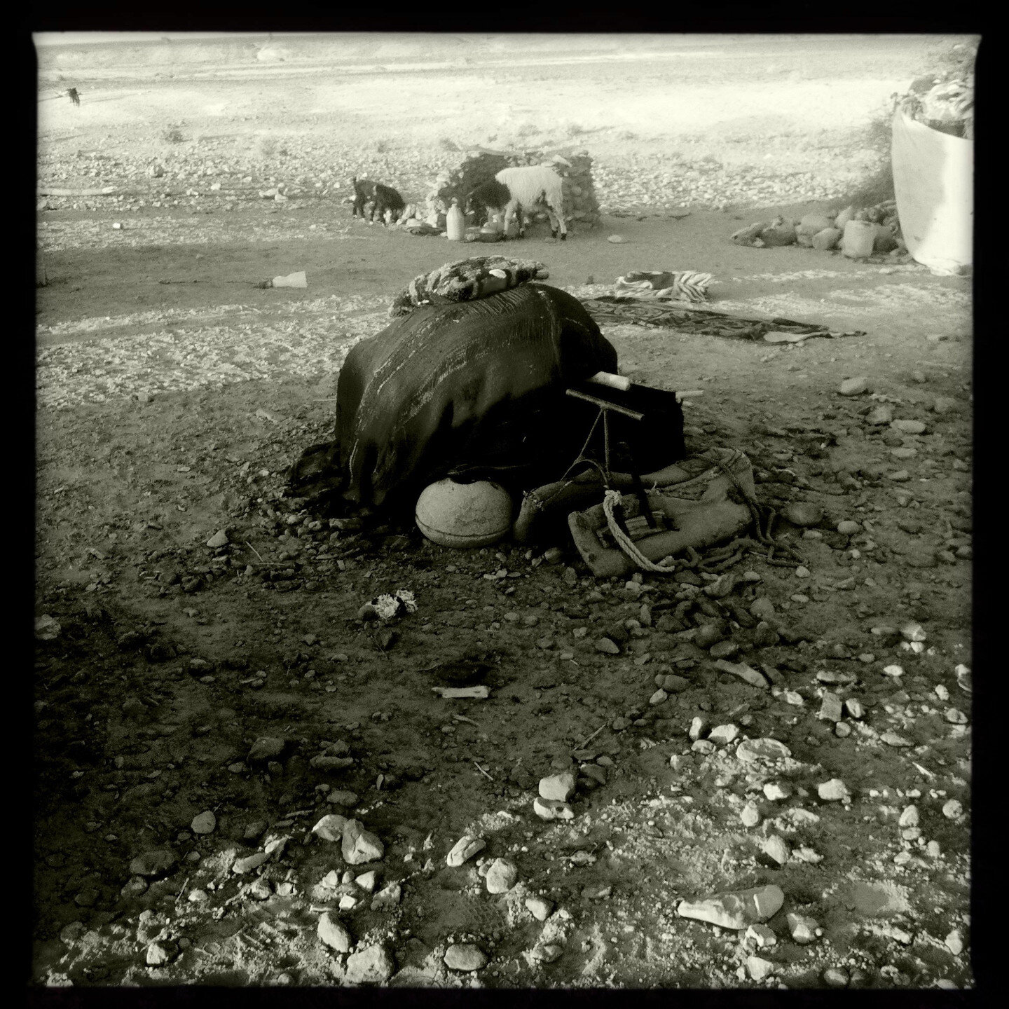
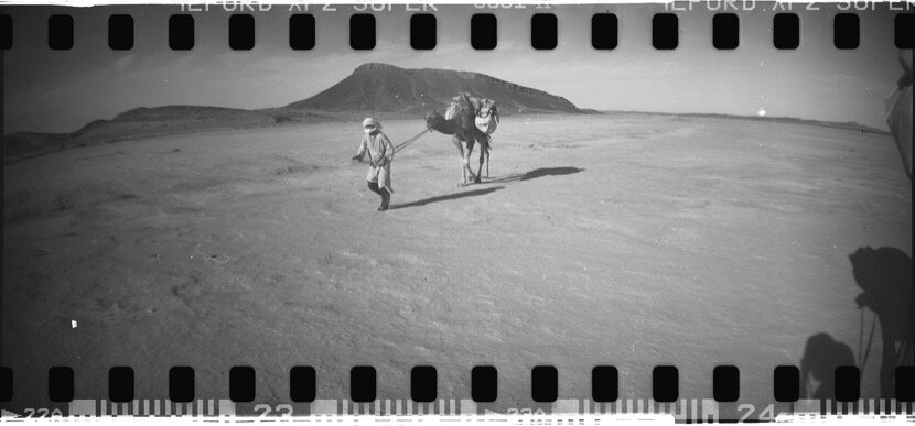
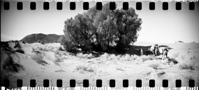
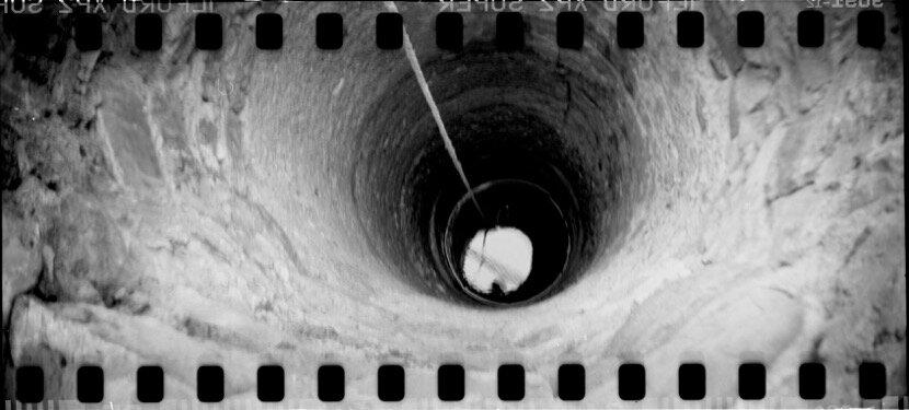
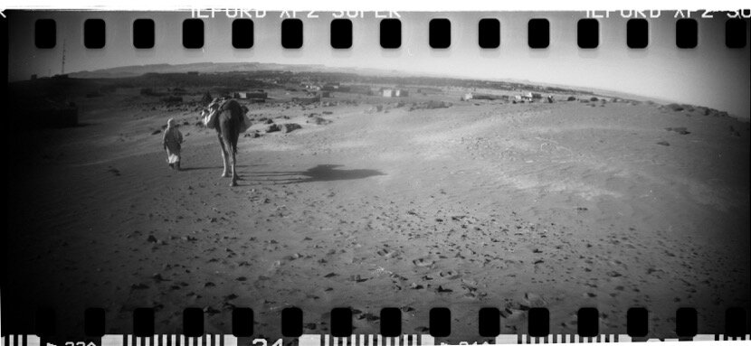
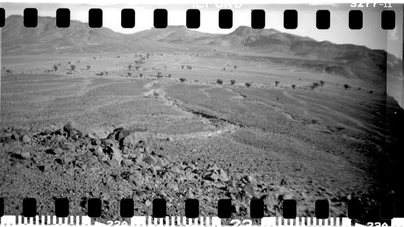
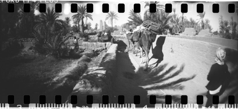
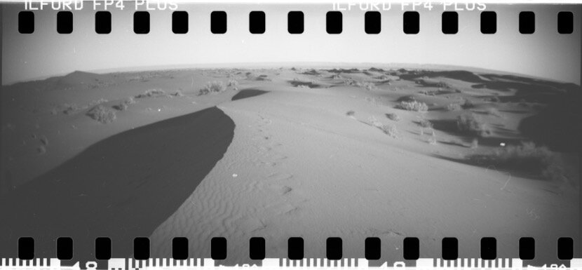
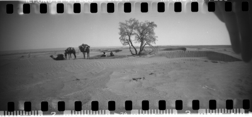
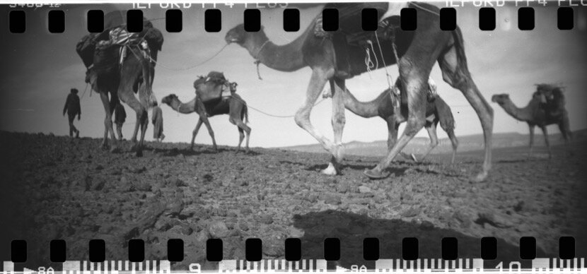
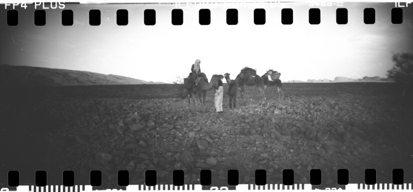
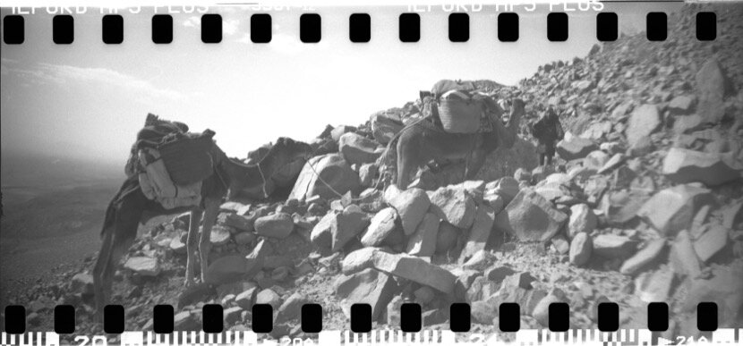
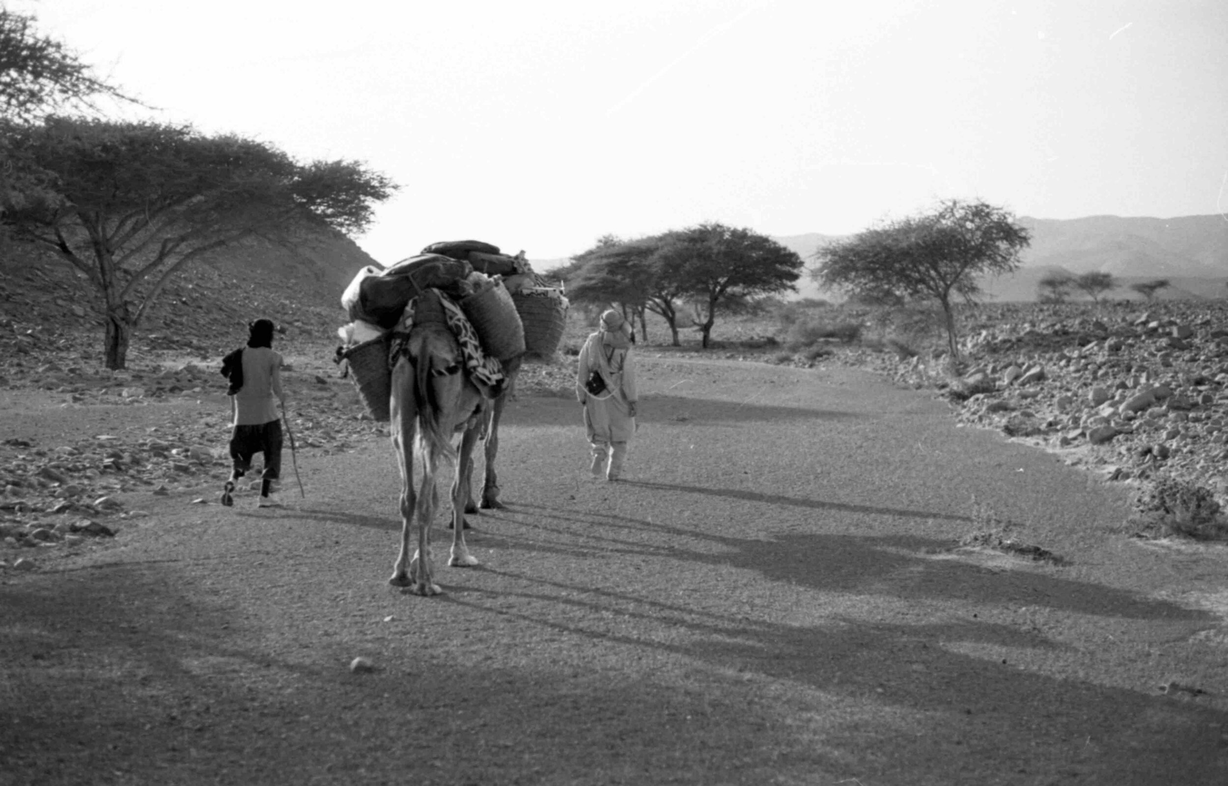
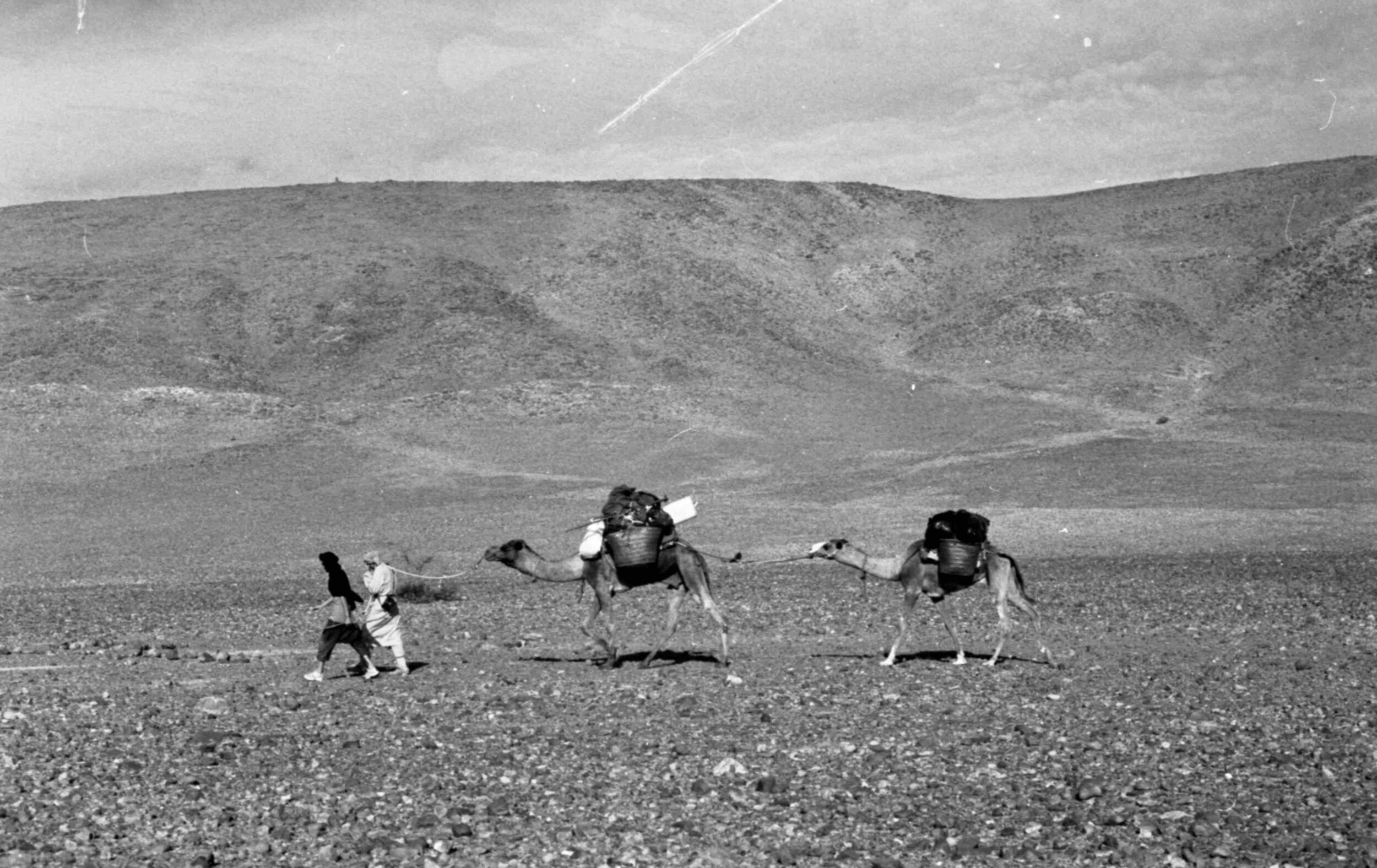
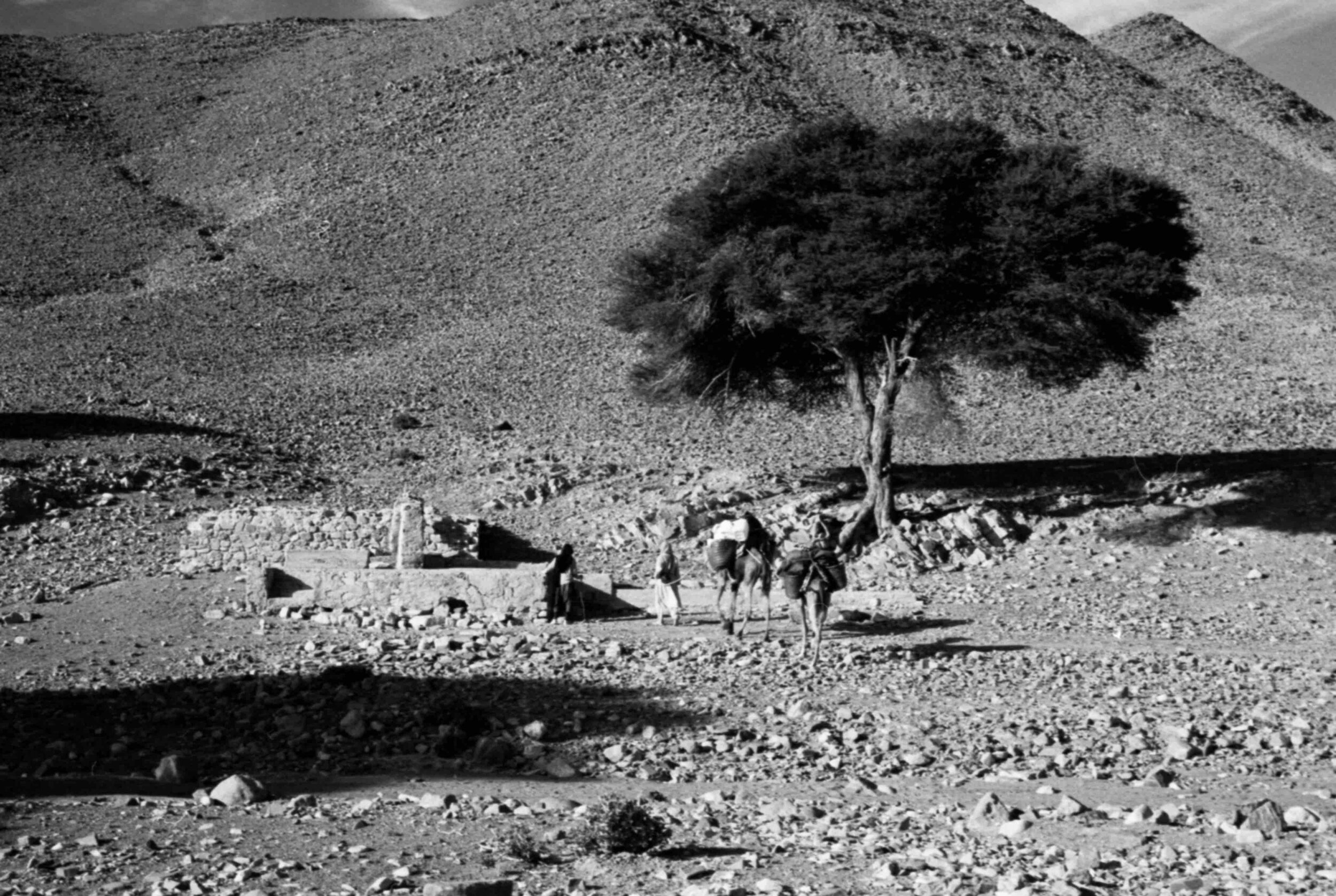
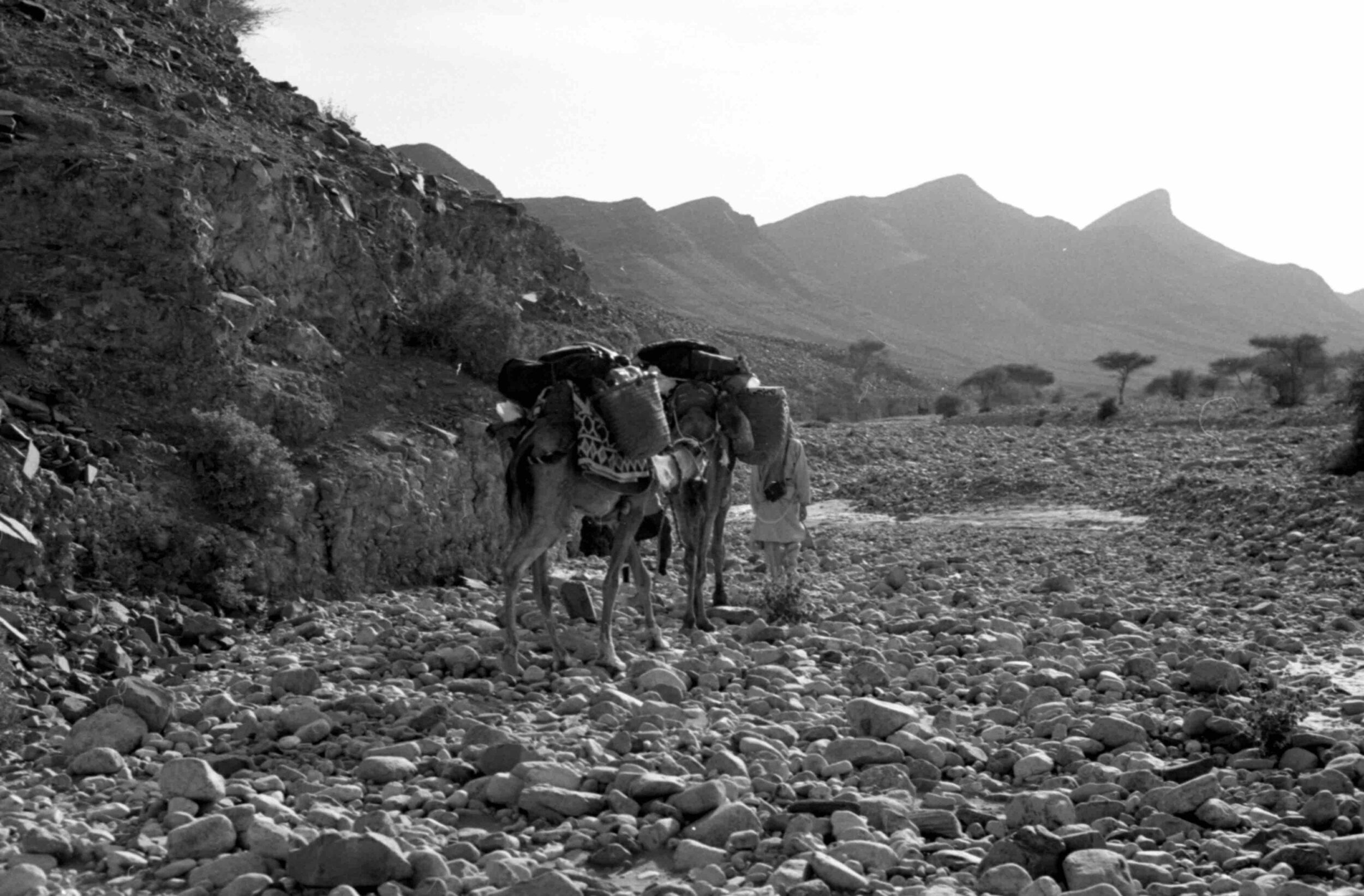
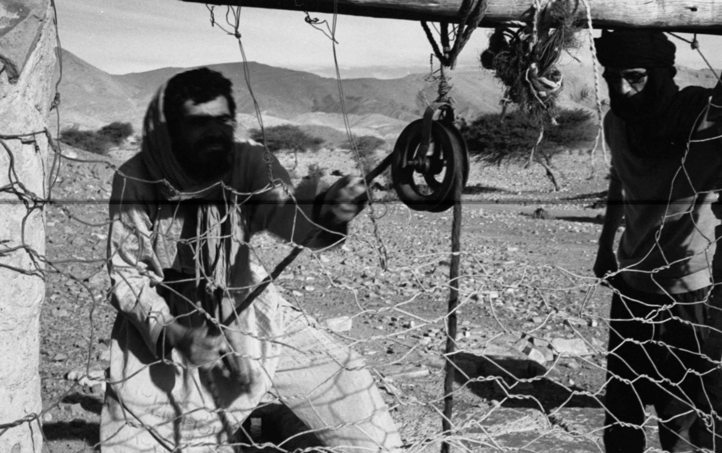
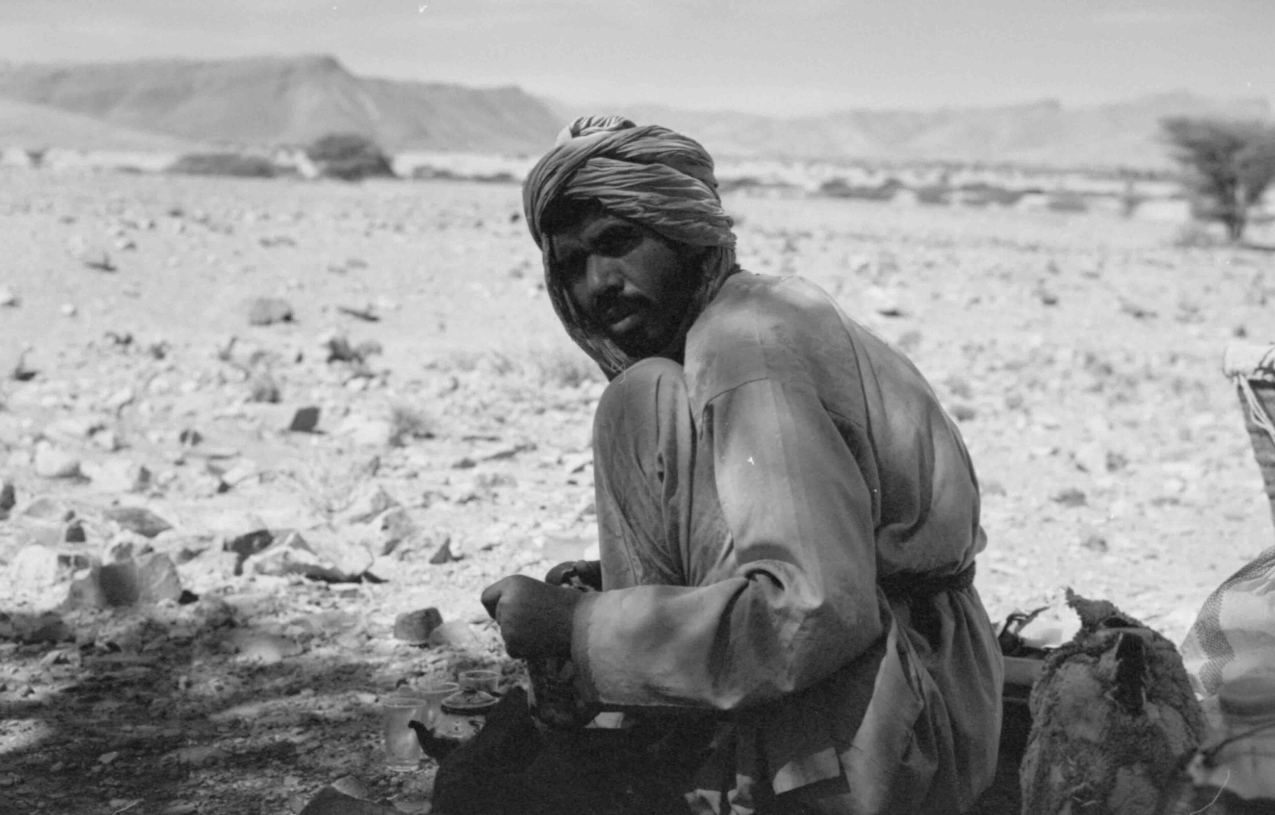
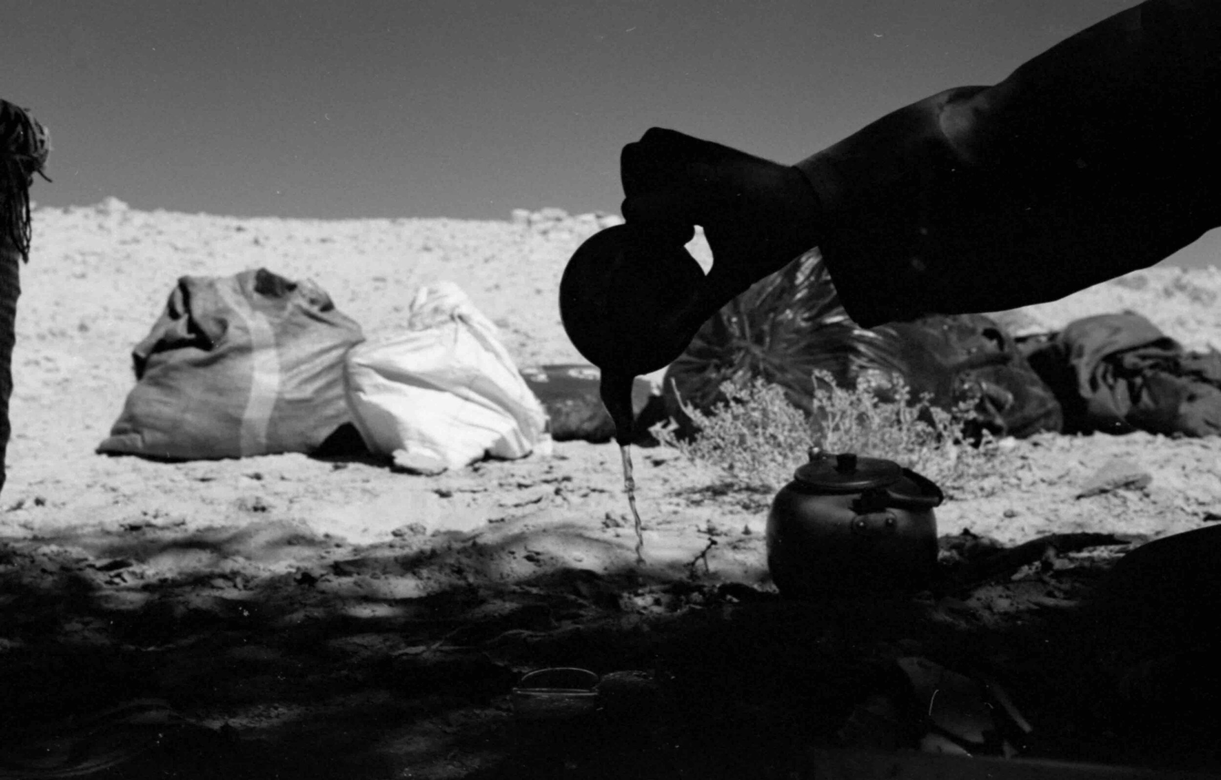
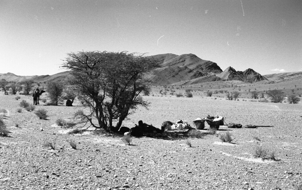
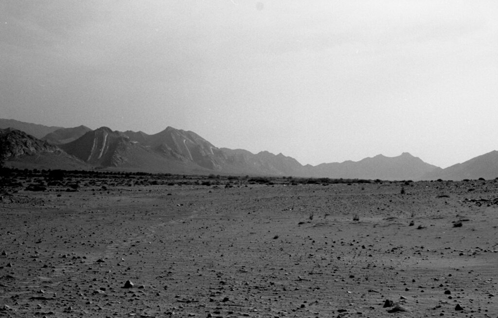
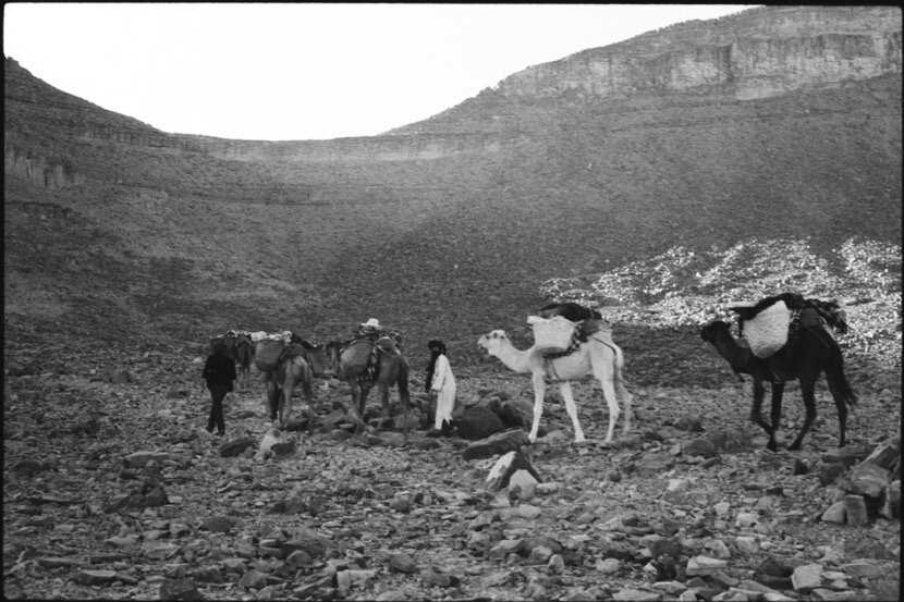
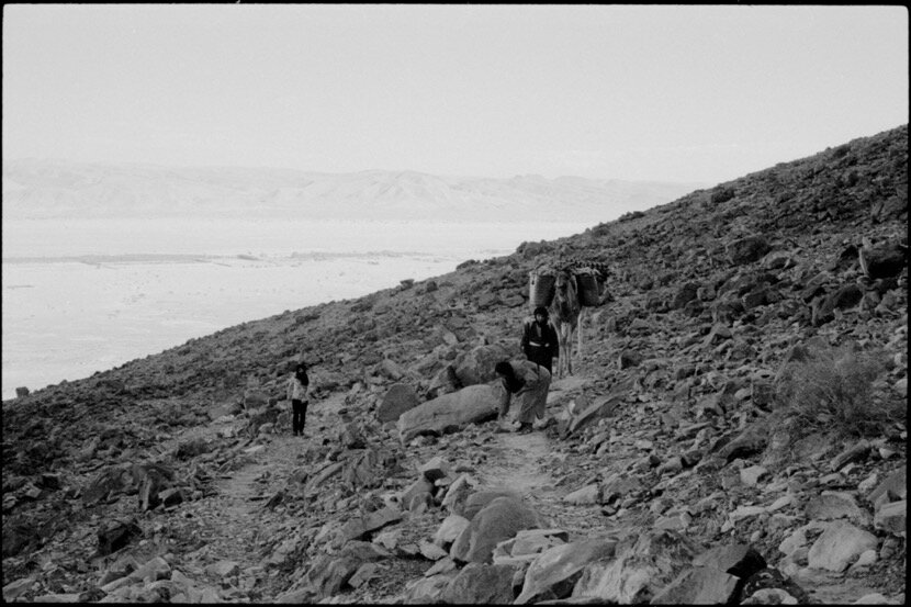
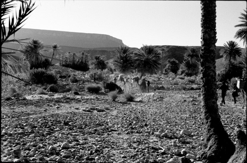
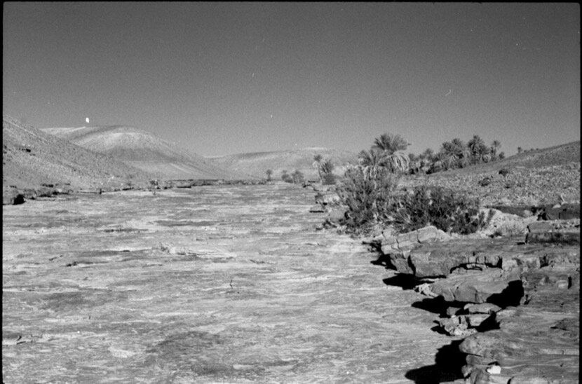
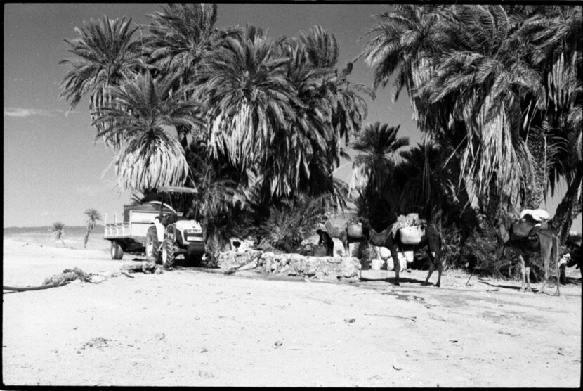
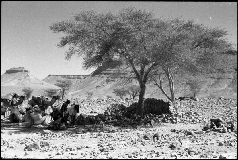
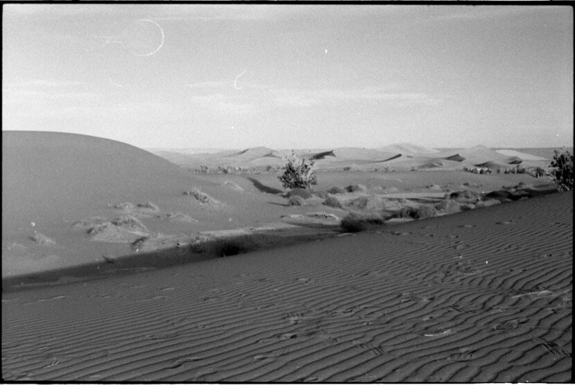
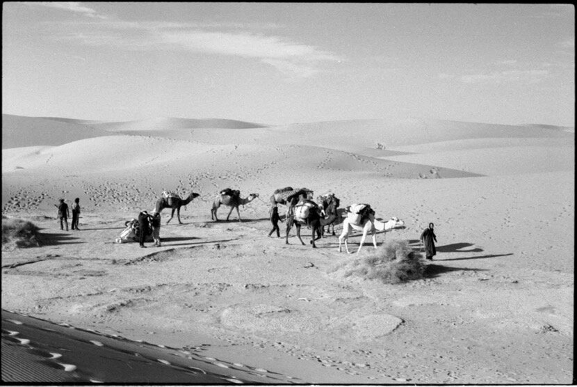
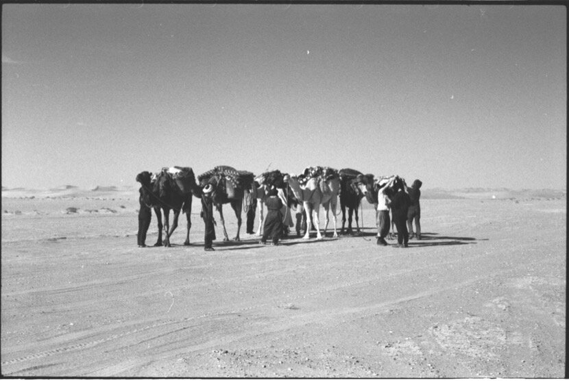
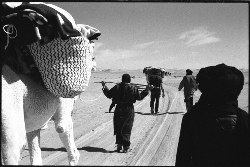
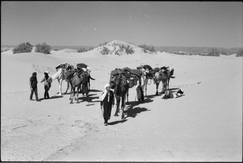
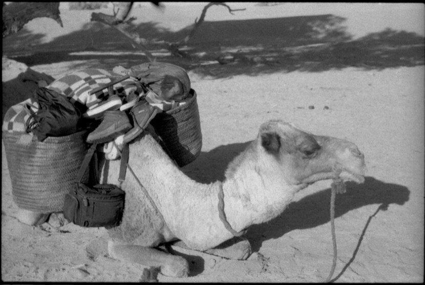
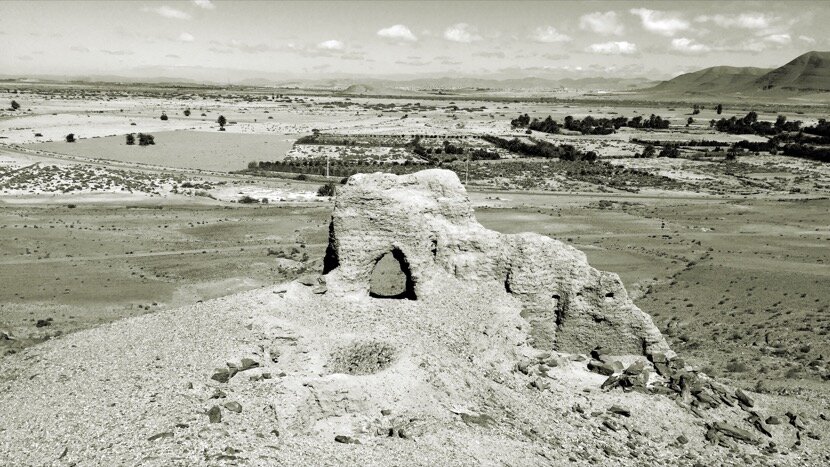
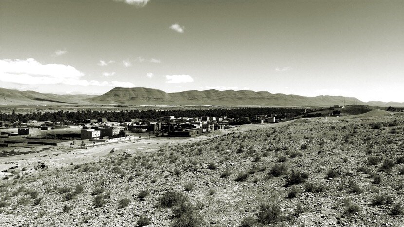
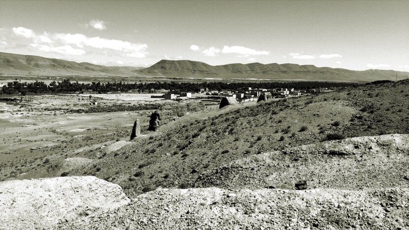
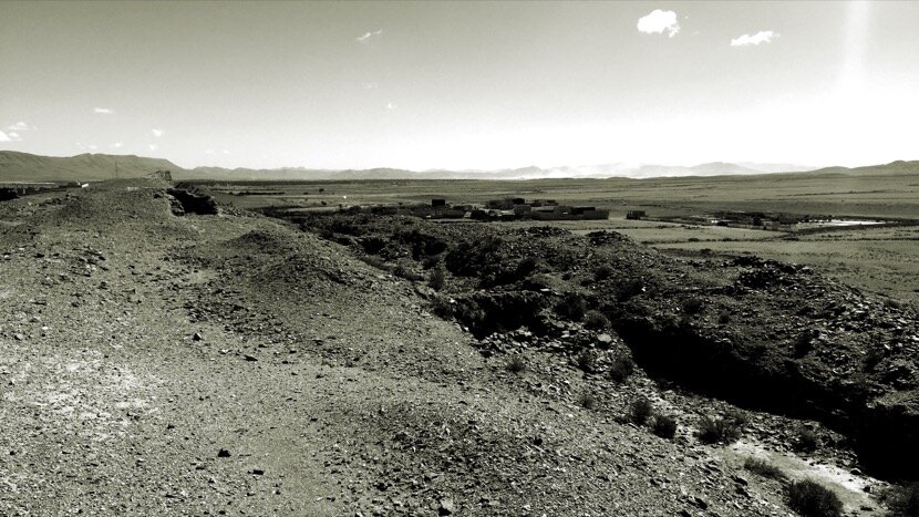
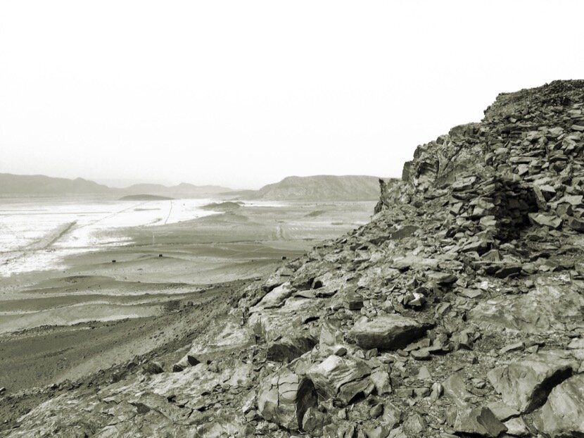
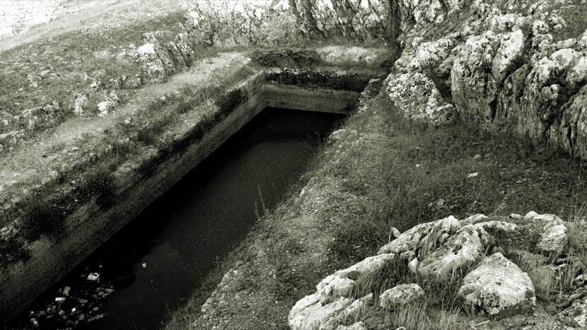
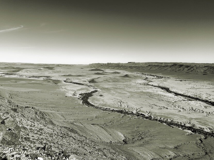
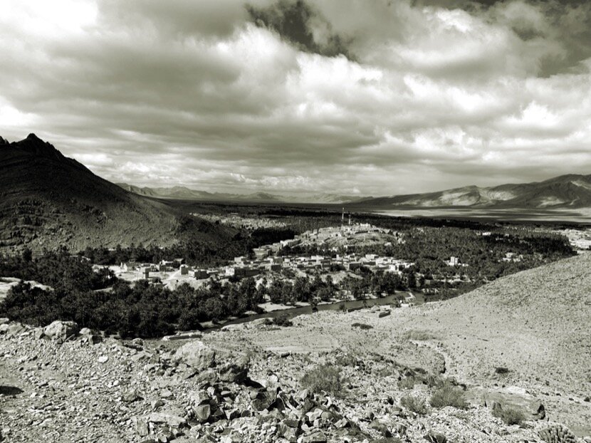
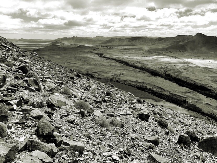
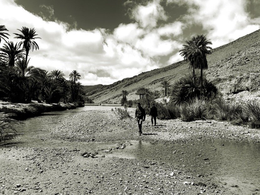
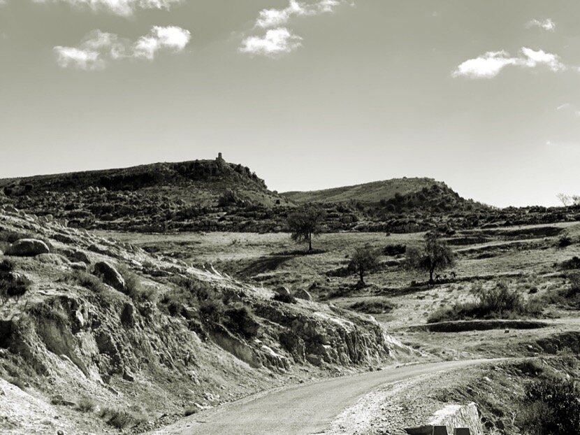
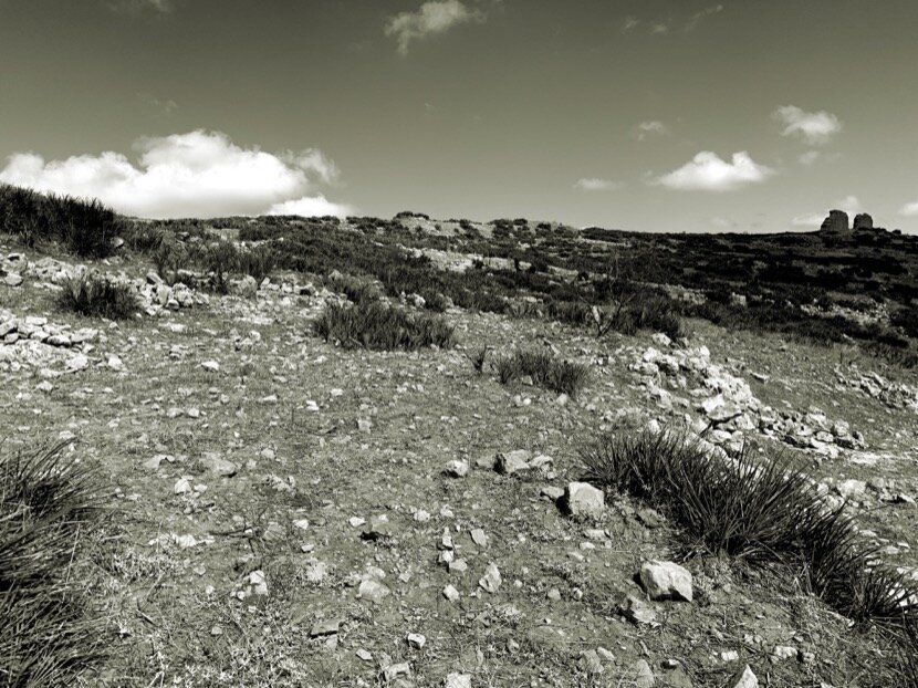
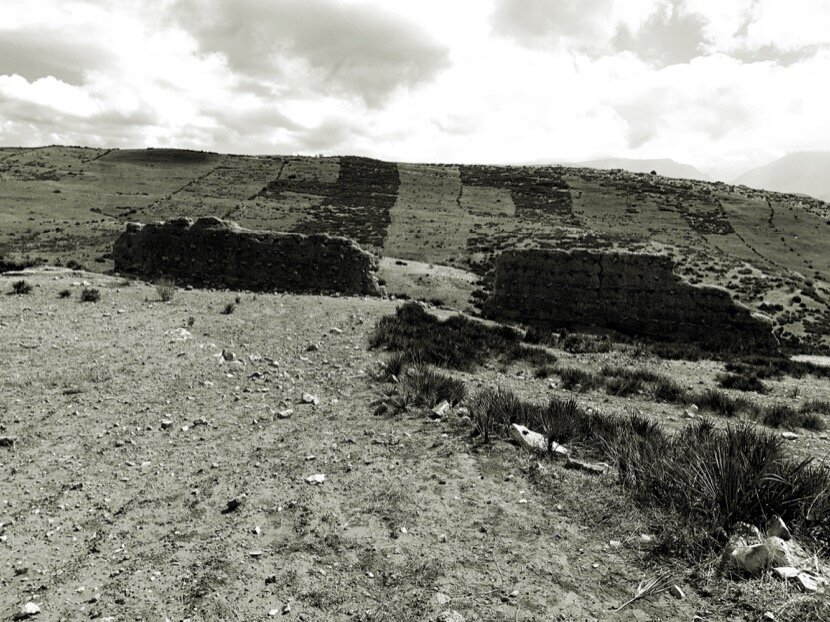
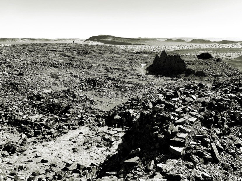
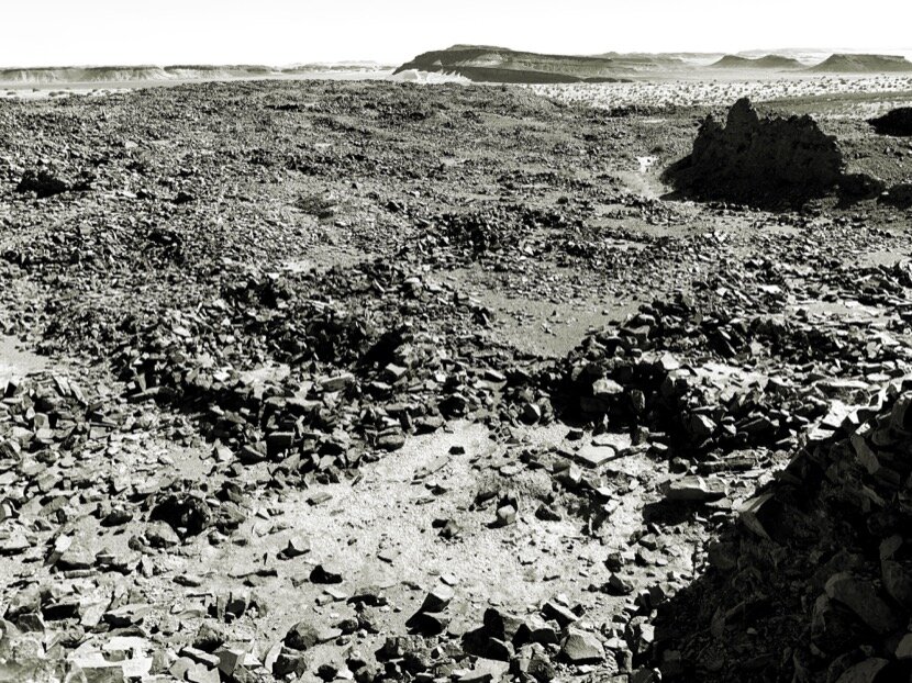
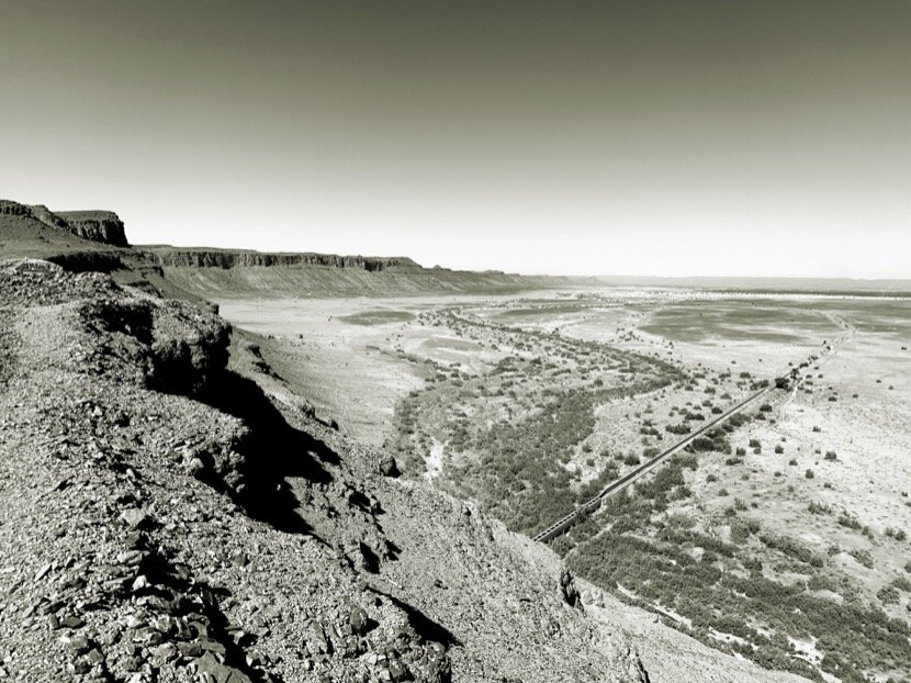
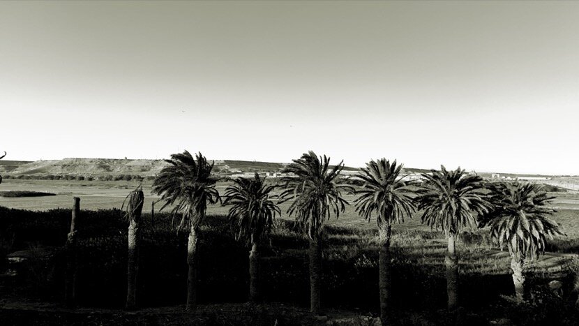
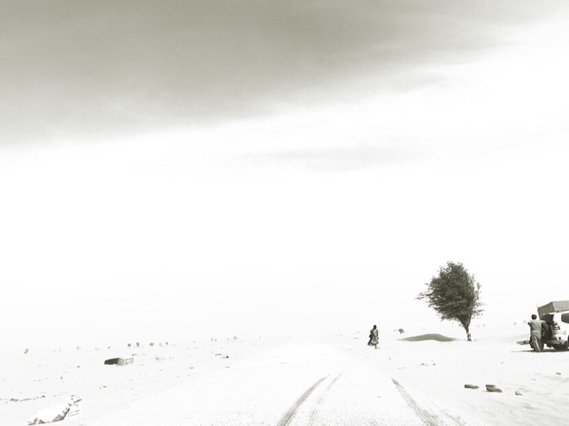
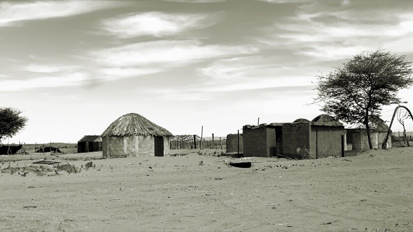
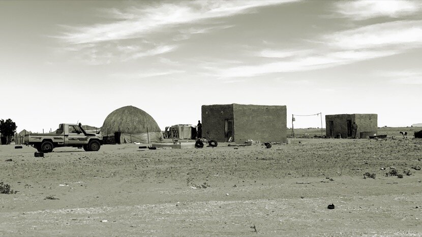
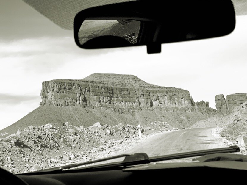
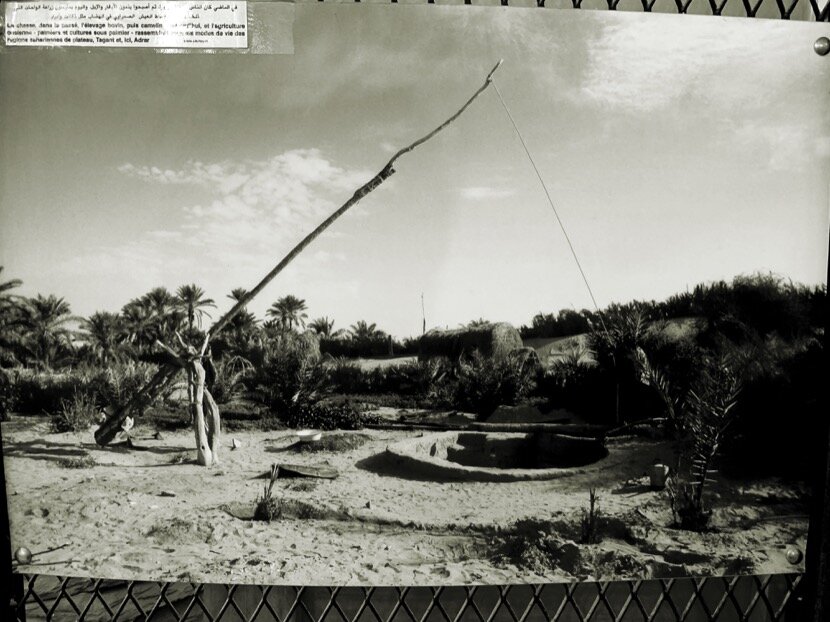
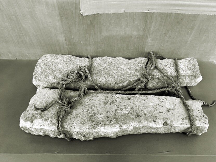
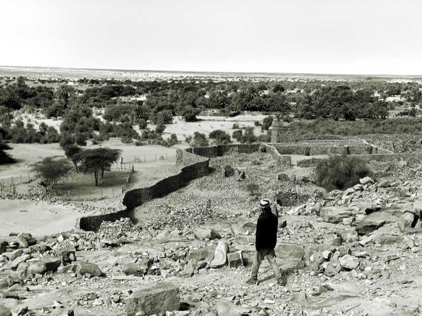
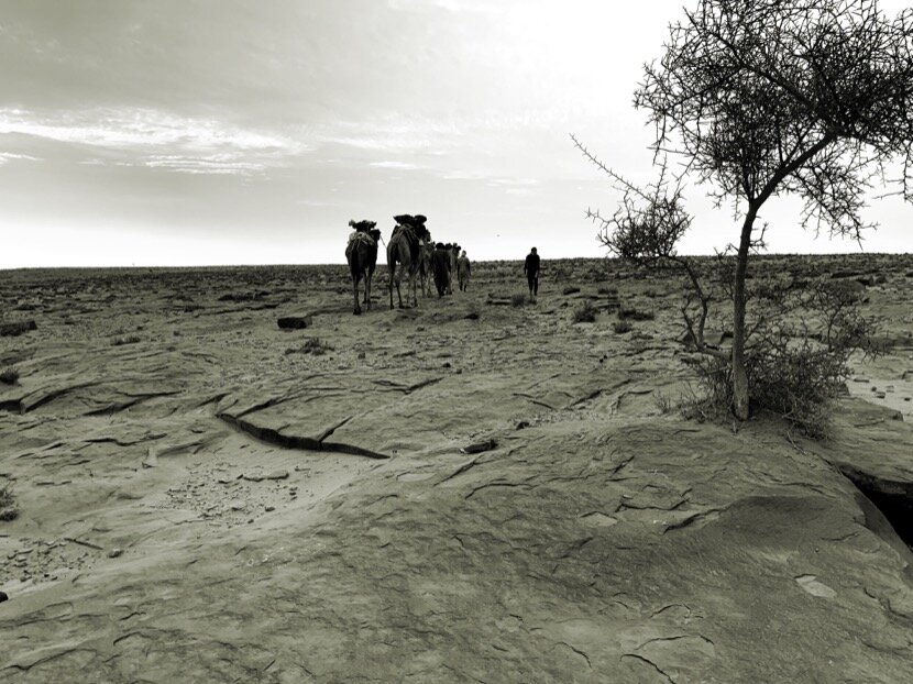
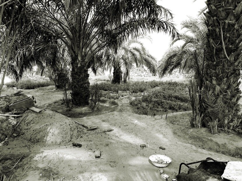
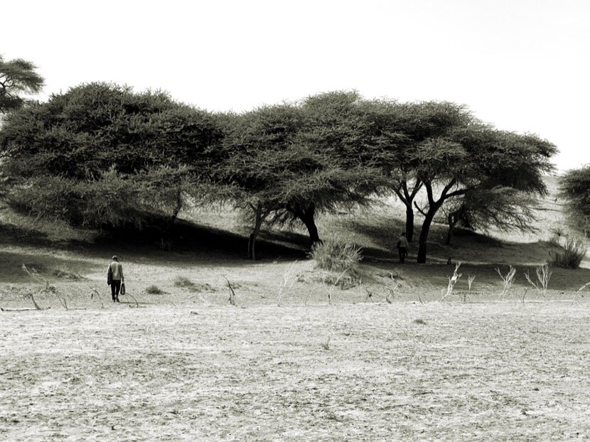
First of all, the importance of water in Tighmert must be explained, since 6 km far from the oasis there is a natural spring that has provided water without interruption for more than a century. For caravanners and nomads, the certainty of finding water at a specific point along the route makes that place essential (which is not the case with wells that are sometimes dry and imply a longer journey in vain). But to become a caravan logistics center, it is not enough to have water constantly, you need a network of oases, distributed linearly along a valley (as is the case of the Drâa valley) or well arranged around a geographical area (such as the basin of the river Noun in Guelmim). Thus, and depending on the geography of the region, each element of this network, normally associated with a social unit that can coincide with an oasis if it is small or with a fortress in larger palm groves, can have a defined function in supplying or providing assistance to caravans. This logistics center concept is important and it took me years to come to this conclusion. However, it was necessary to confirm this approach on the other side of the desert, because according to the different caravan routes indicated in the stories of explorers and historians, the main logistics center of Mauritania, and connected directly with Tighmert, was in the Adrar, with a set of oases (Azougui, Taïzent, Atar, Chinguetti, Ouadane, Akjoujt, Terjijt, Toungad, Mhairith ...) that had several functions, being the first supply point after the crossing and serving as a bifurcation for caravans that would then go to Mali or Senegal.
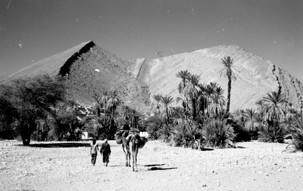
Adrar, Atar (Mauritania)
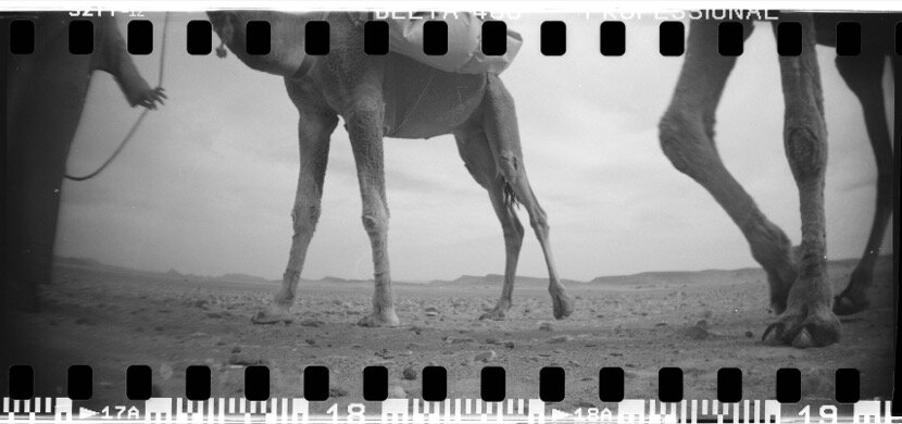
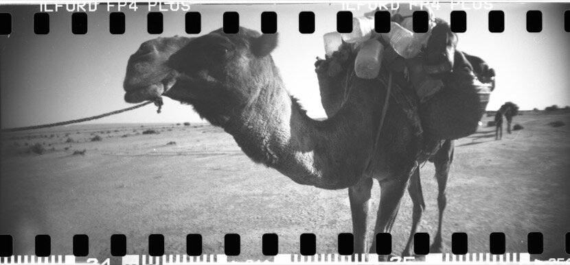
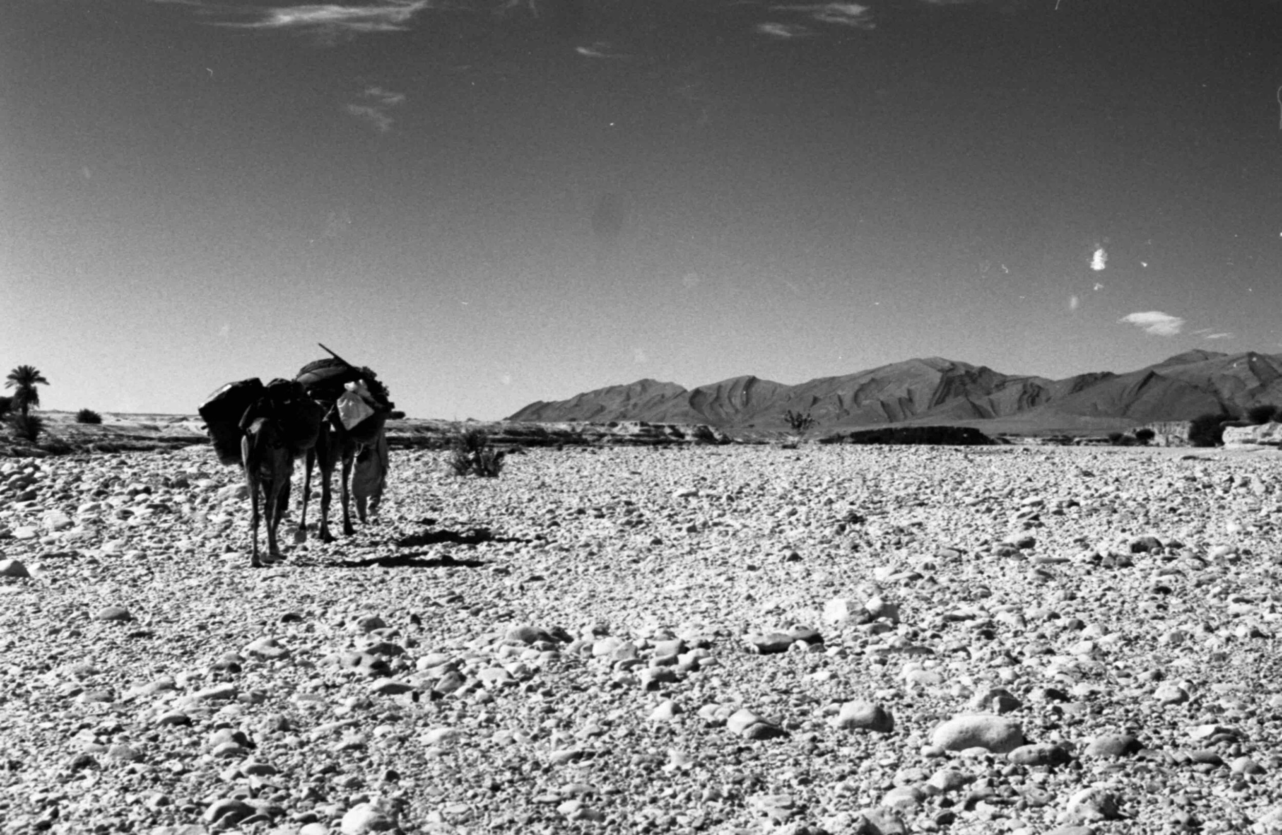
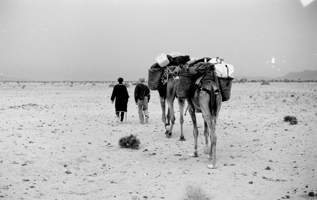
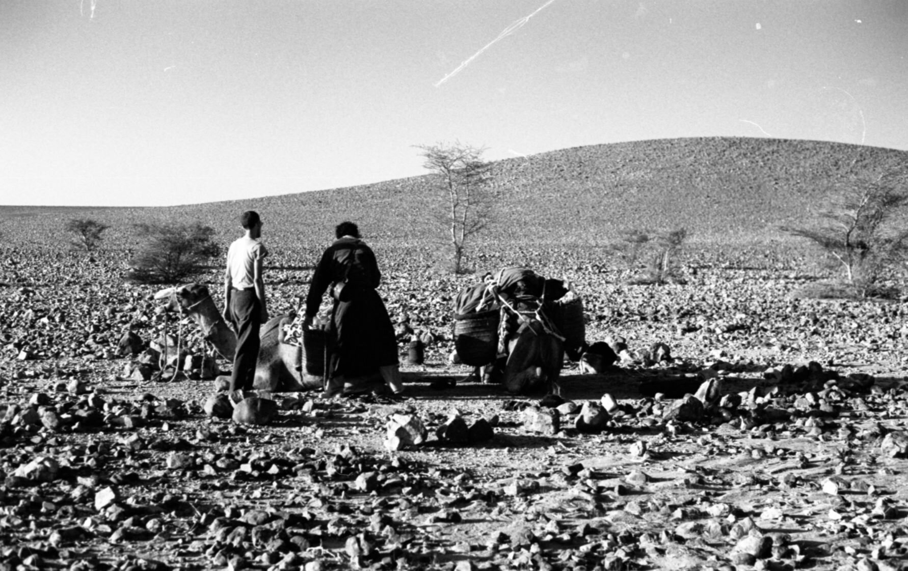
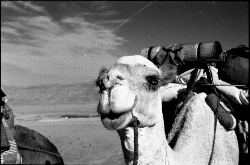
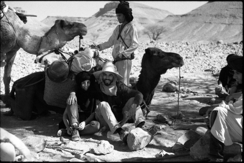
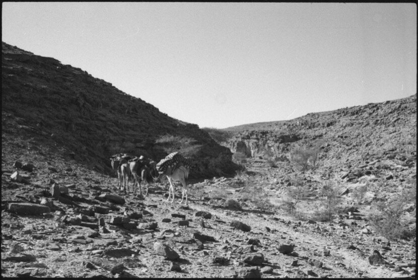
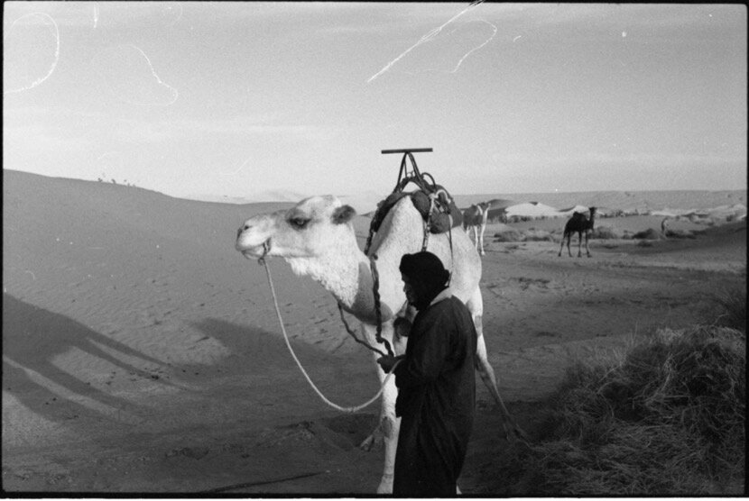
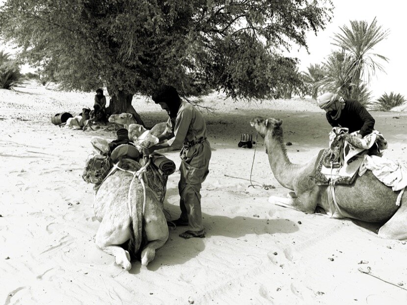
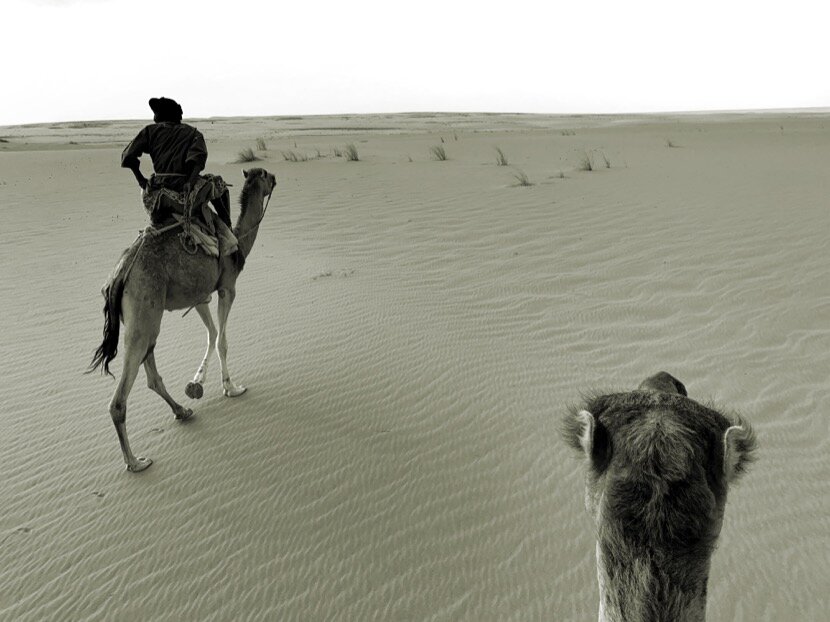
What became clear throughout my research was the importance of the caravans and that it was essential to know more about how it "worked", how they moved and how they act in the different situations they could face in the desert. I had to experience the caravans...
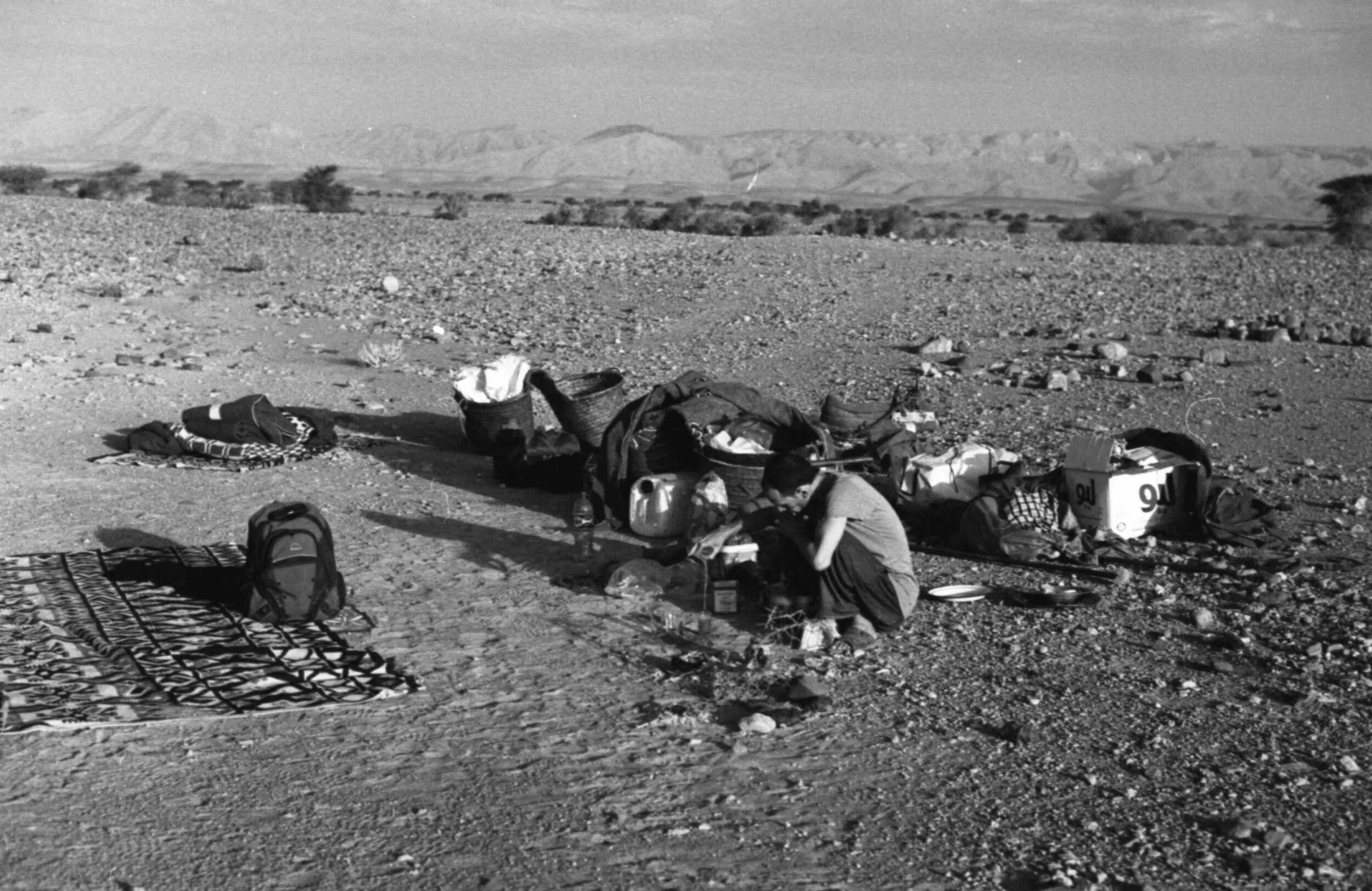
5. Project Qafila
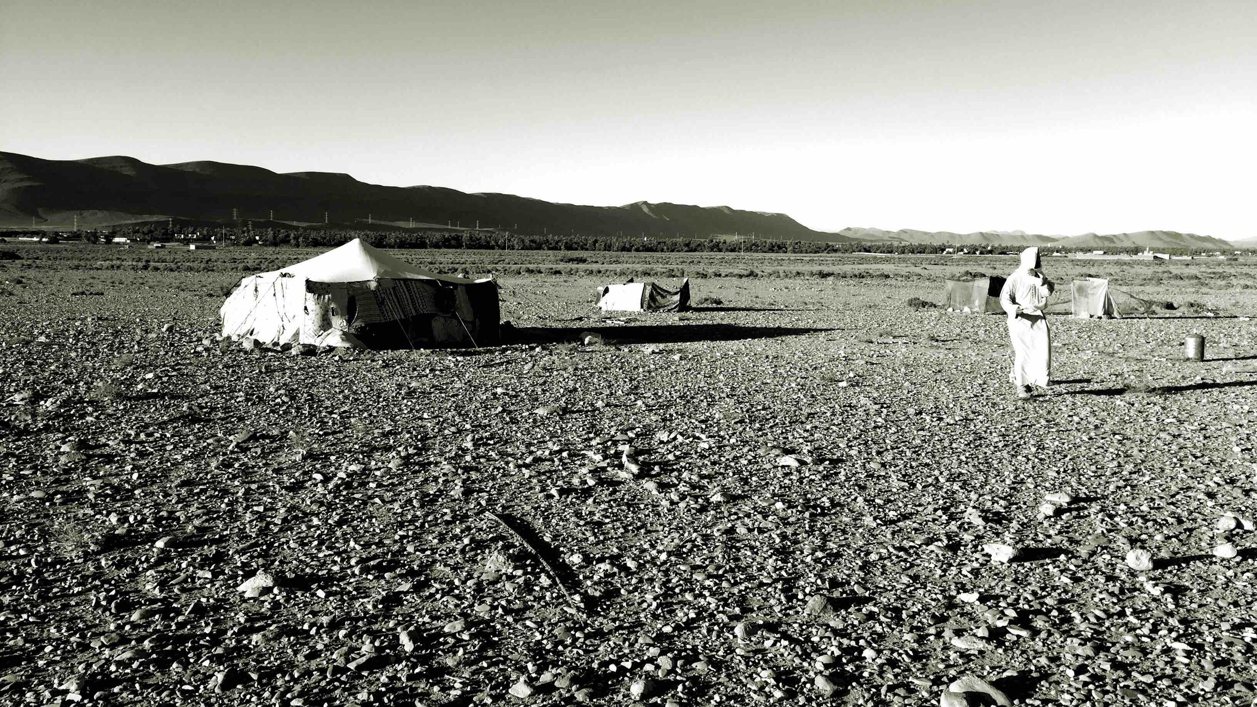
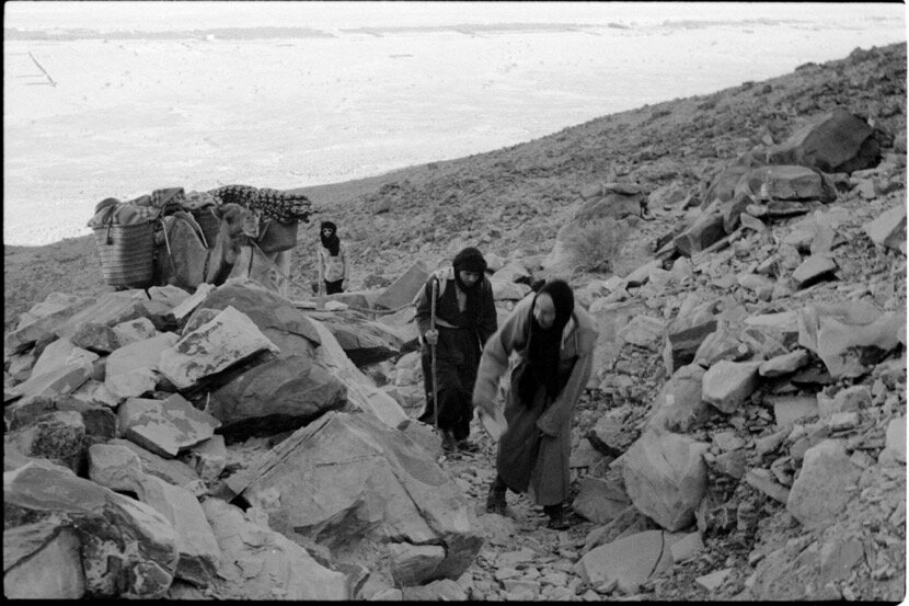
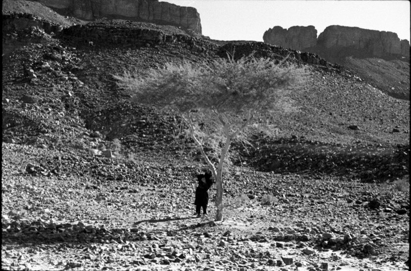
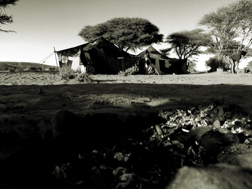
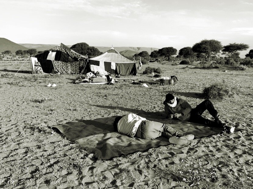
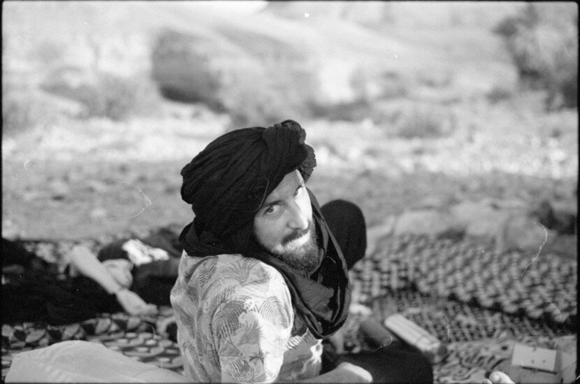
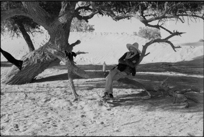
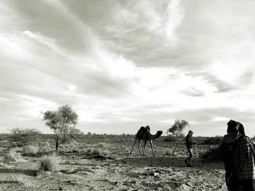
In September 2013 I asked a friend of Zagora for advice to go to a bivouac in the dunes of Erg Chegaga in M'hamid (Zagora), but I wanted to go to one where I could sleep in a traditional khaïma and not in a tent. Once on the route between Mhamid el-Ghizlane and the dunes, the guide who was accompanying me said “you wanted to sleep in a khaïma, right? If you want, we can look for a nomadic family and spend the day and night with them”. I did not object, on the contrary, I told myself that it would be an opportunity to discover those spaces between oases where I thought no one lived. To tell the truth, it was a shock, I realised not only that there was a population that was constantly moving between the valleys, but also that they had a lifestyle completely adapted to the conditions of a desert. From that point on, I had to add nomadism to my research instead of focusing exclusively on oases.
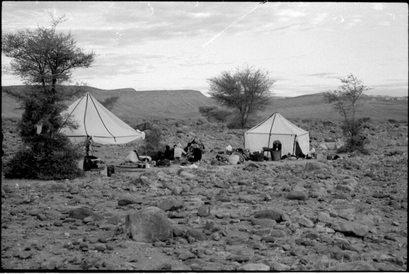
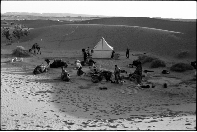
In January 2015, I was invited by the brothers Halim and Ibrahim Sbai to participate in the Taragalte Festival. In theory, I was supposed to do a construction workshop, but eventually I helped to set up and organise the camp. During the days before the opening to the public, I was able to experience the best moments of the festival, when musicians from Algeria, Mali, Mauritania and Morocco who were arriving, improvised concerts after dinner. I imagined in those moments what the parties organised by the caravans could be like when they reached certain points to celebrate the success of the journey. These experiences confirmed my idea of caravans from the travelers 'and explorers' stories that I had read.
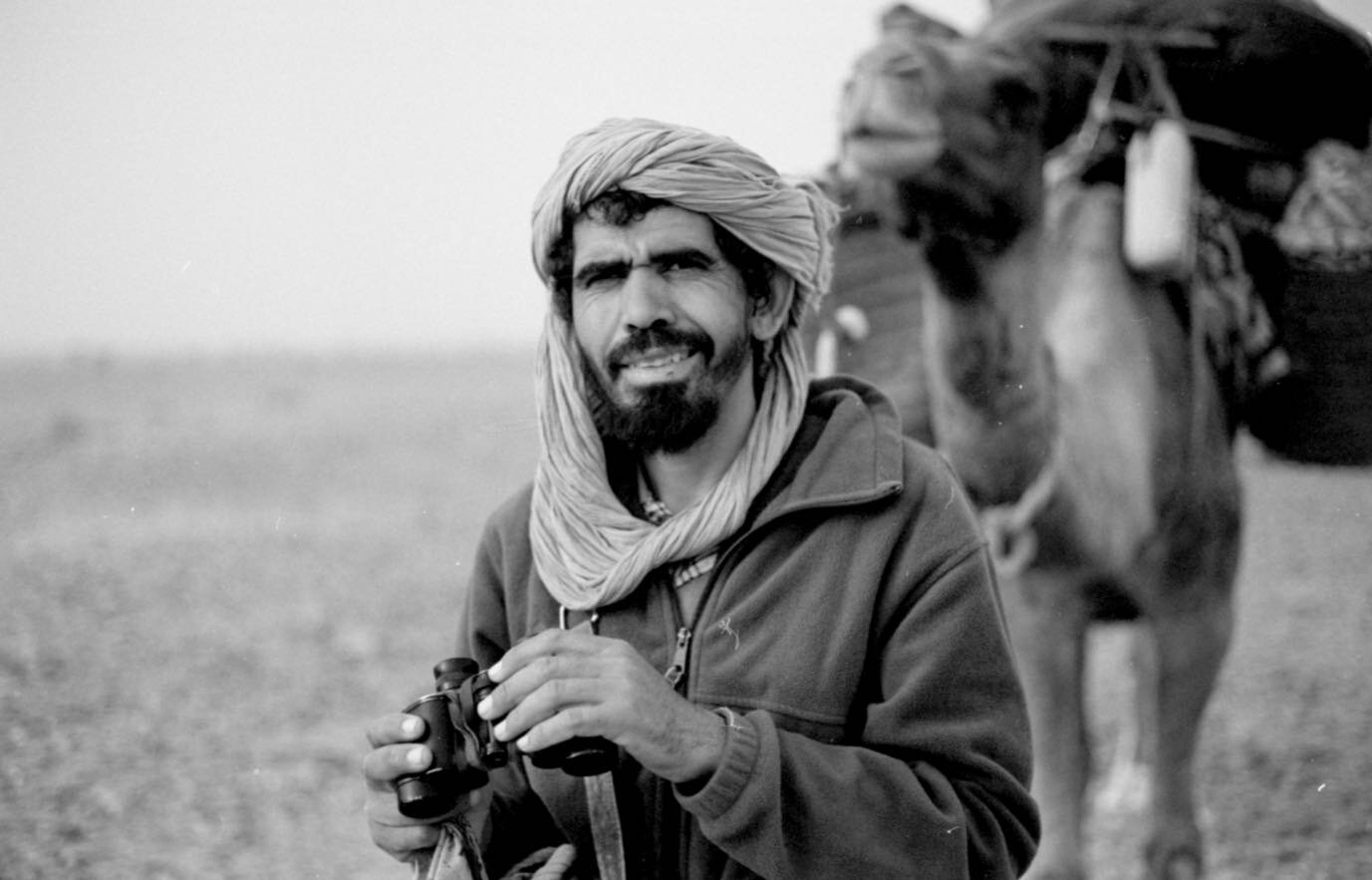
But the most important moment came after the event, when only the inhabitants of M’hamid remained in the camp. For a few days some nomads stayed with us and started to tell us about their lives in the desert. It was my first contact with Mokhtar, from the Aarib tribe, a nomad who until the 80s crossed the desert with caravans. In successive meetings he told me the routes he used to go from M'hamid to Rissani, Tighmert, Mauritania or Mali. He explained to me that many of the caravan routes in Morocco were used by nomadic families to get around. He also showed me that a route was determined by geography and especially by the existence of water wells, so I had to add the determining factor WATER to my research associated with nomadism and caravans.
In July 2016, during the second edition of Caravane Tighmert, several artists made me one same comment about our artistic proposal; if we were at a caravan cross-route and adopted the name Caravane Tighmert, we had to be consistent and make the event a nomadic project. This comment provoked reflections within the organising team, but we decided to keep the work between the artists and the local population as a priority, although the idea of making a caravan with artists and researchers began to be considered as a parallel project. If we took into account my desire to know more about the nomadic population and territories and about the caravans and their routes within Morocco, the creation of a research project like Project Qafila seemed obvious.
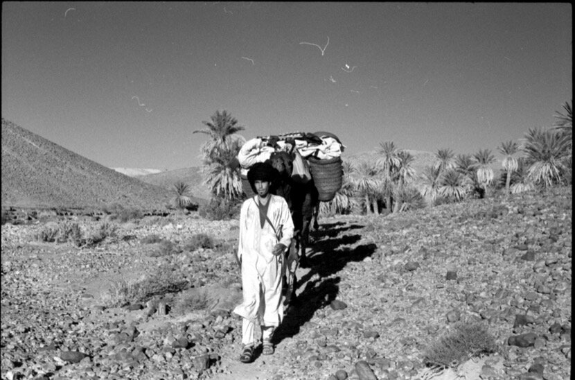
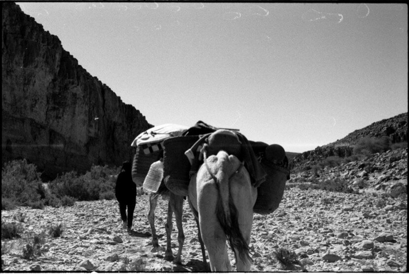
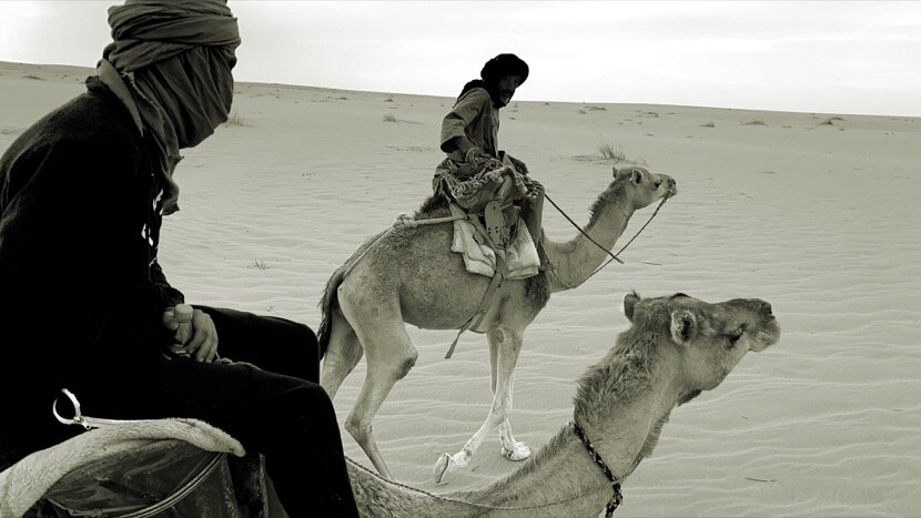
In November 2016, I made the first caravan, Qafila Oula, between Tissardmine and M'hamid el-Ghizlane, which in theory I was going to do with three of the artists who had shown some interest in this project (Harraki, el-Mahdaoui and Hida). In the end they could not come and I did the 350 km that separate both places alone, with the help of Salim, a nomad from Errachidia, and two camels. This first caravan was possible thanks to my friends from Café Tissardmine (Karen Hadfield and Youssef Bouchedor) who encouraged me to live the experience and organised the logistics. Youssef (who died a few months later) had told me a lot about his nomadic life when, as a young man, he traveled with his family every year from M'hamid to Oujda (nomadic territory of the tribes that gave rise to the Merinid dynasty), explaining to me the nomads' relationship with nature, the city and sedentary life, information that does not usually appear in books.
QAFILA OULA (2016)

QAFILA THANIA (2017)
QAFILA THALITHA (2018)
QAFILA RABIAA (2019)
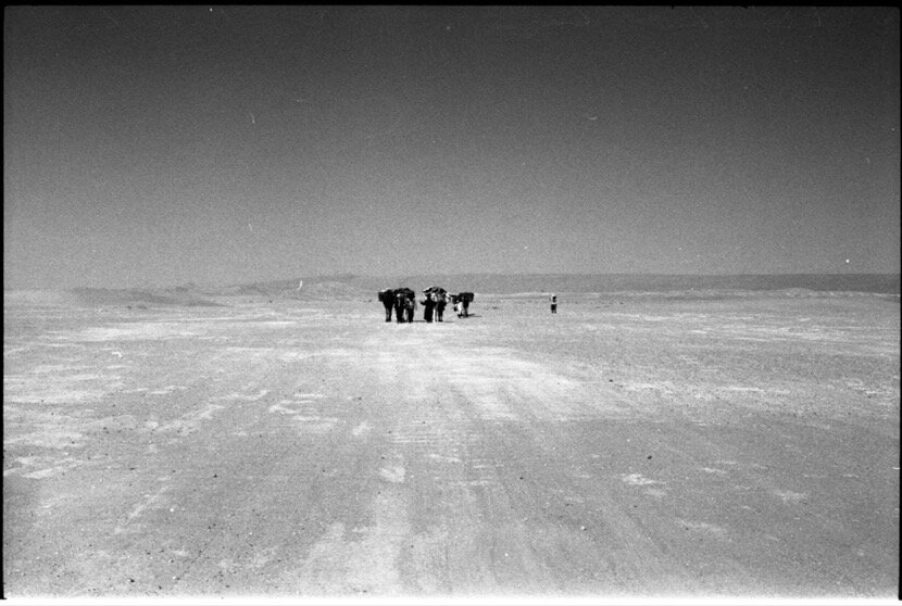
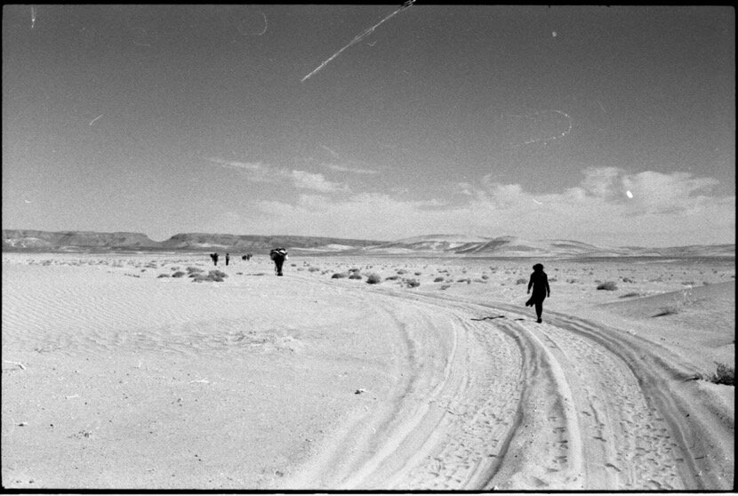
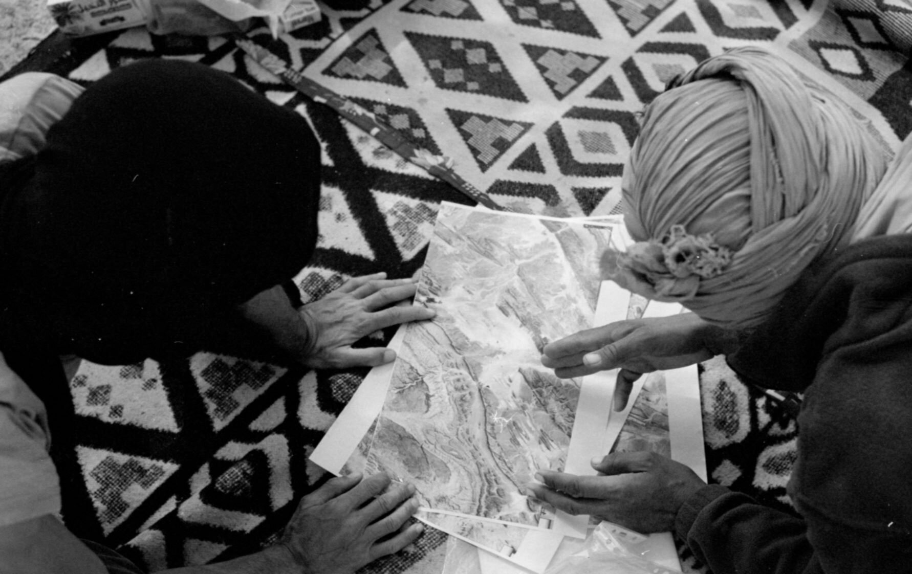
Although I have made 4 caravans so far, during the first one it became evident the need to walk and tour the territories in the same way that caravans did until the 90s in Morocco. At the beginning of this text I explained that it was imperative to study heritage from various points of view to avoid partial conclusions when it comes to understanding our history. The successive caravans that I have organised (including the second and fourth with artists and researchers) have allowed me to approach various areas of research with a completely different vision, that of nomads. Now I look at the cartography and the satellite images of the desert regions in a different way, accepting that these are only interpretations and representations but that they do not show the reality of a territory, due to the complexity of these spaces, and that from now on I would have to use a kind of a mental filter to translate these images into reality in case you want to go on a caravan trip.
With this new attitude, and with the help of Pau Cata and Amado Alfadni, who participated in Beyond Qafila Thania and who shared information about caravans found in Gardaia (Algeria) and at the University of Khartum (Sudan), I decided to take a virtual trip on Google Maps to find and track the main caravan routes, according to the various documents and books found (Antoine Bouillon also provided us with many references). In most of the maps that showed these routes the lines that connected two points (towns, villages, oases, water wells...) were drawn in any way, my goal was to mark the roads as if they were the real routes of the caravans, assuming I was planning that same trip and using my experience with nomads. For three weeks I was immersed in a fictitious and virtual trip through the Sahara, knowing that the geopolitical situation in most countries made it almost impossible to carry out these routes. However, there are still three countries with some stability, Morocco, Mauritania and Algeria, in which these “qafilas” could be considered, which is why I am going to concentrate in the coming years on the connections between Noul Lamta and Adrar and so on to be able to give continuity to the Qafila Project.
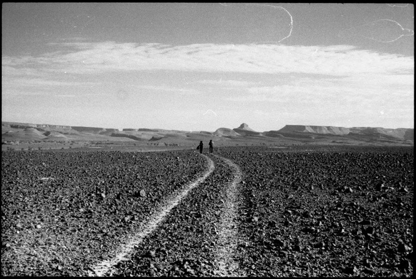
So far I have been able to walk (in 4 stages) the 1,000 km that separate Tissardmine (Errachidia) and Tighmert (Guelmim), sometimes alone with nomads, sometimes with artists and nomads, experiences that have allowed me to learn about the desert, nomadic life, non-architecture, submission to nature, history, geography, the true role of oases... However, I would like to highlight one aspect that could help to better understand the link that is established (thanks to the caravan trade) between quite distant places, for which a planning and control of the territory is imperative.
6. Almoravid fortifications
The successive Moroccan dynasties maintained their power as long as they could control their territory and for that they required income with which to pay for a considerable army and deploy it throughout the "country". For centuries, these revenues were guaranteed by the caravan trade between the Sahel, the Maghreb, Europe and the Middle East, but the routes had to be secured with strategically located fortifications to prevent attacks and facilitate their transit.
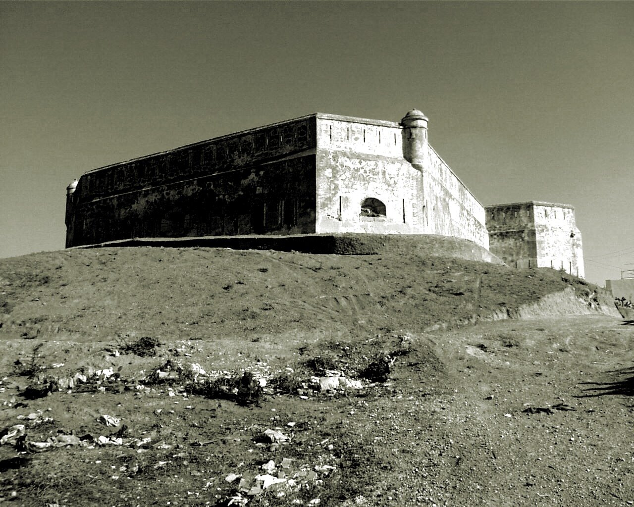
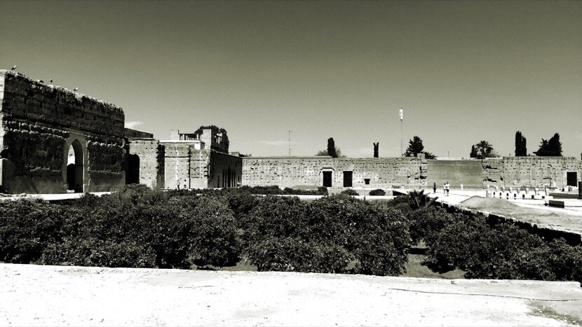
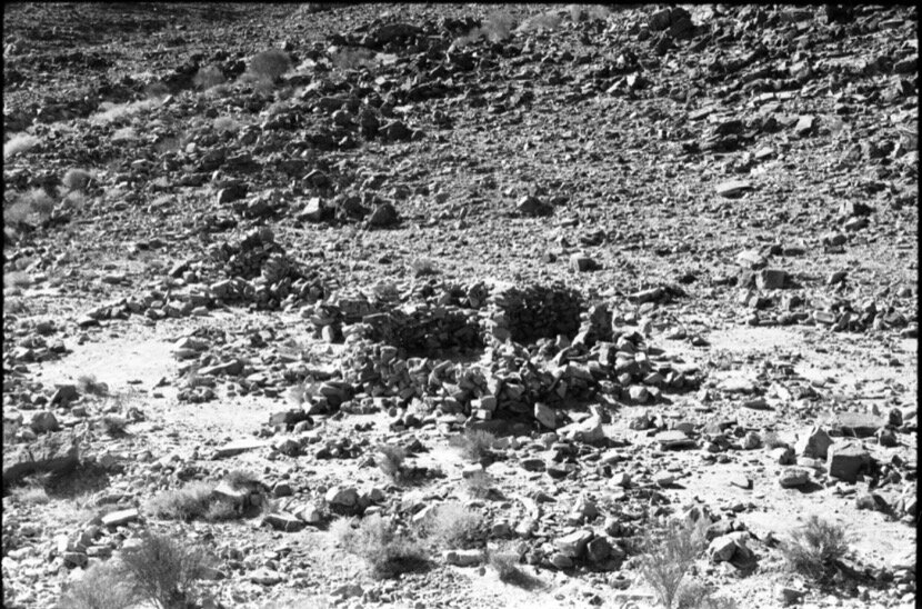
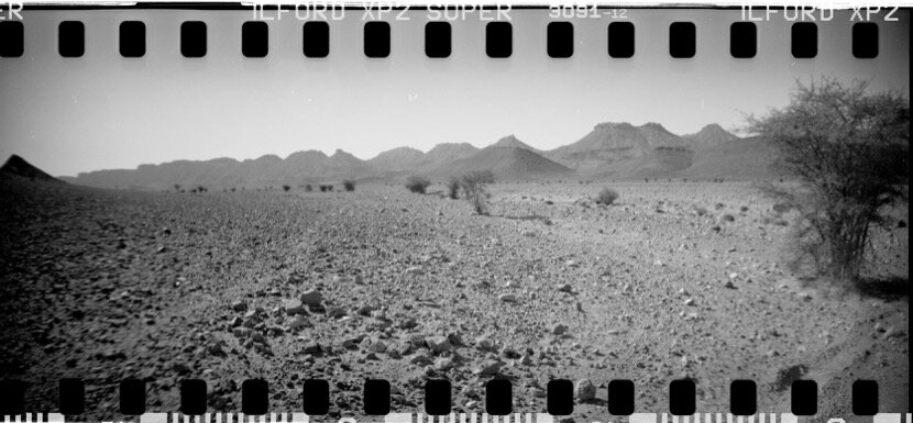
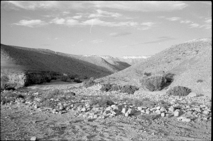
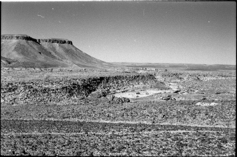
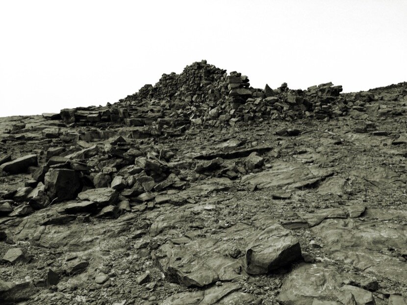
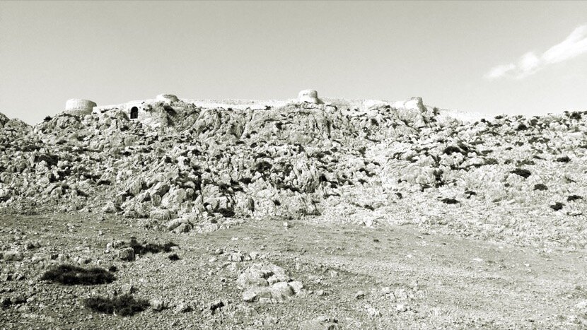
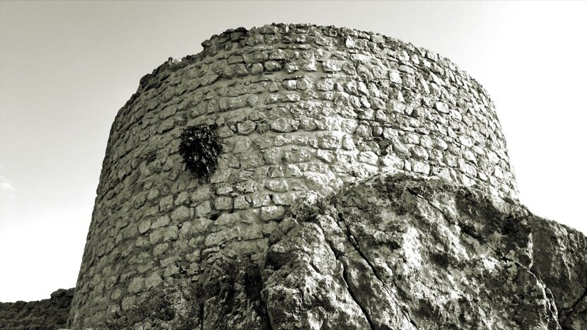
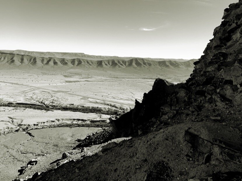
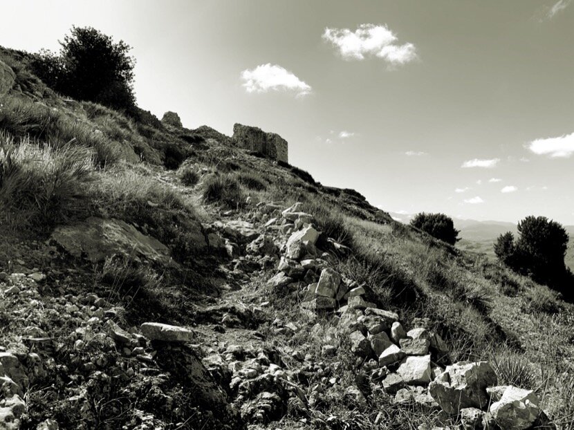
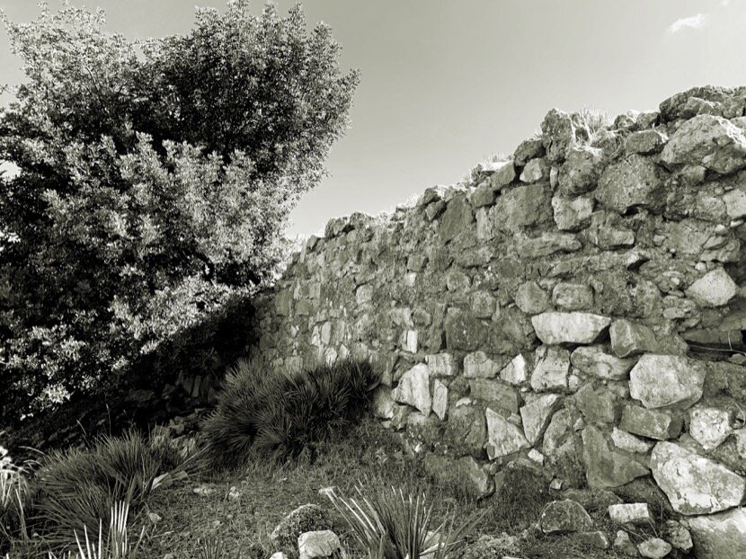
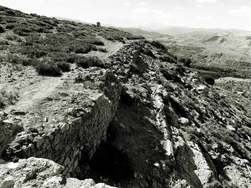
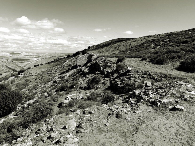
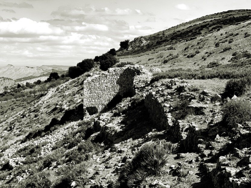
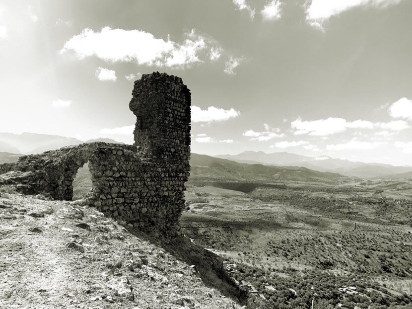
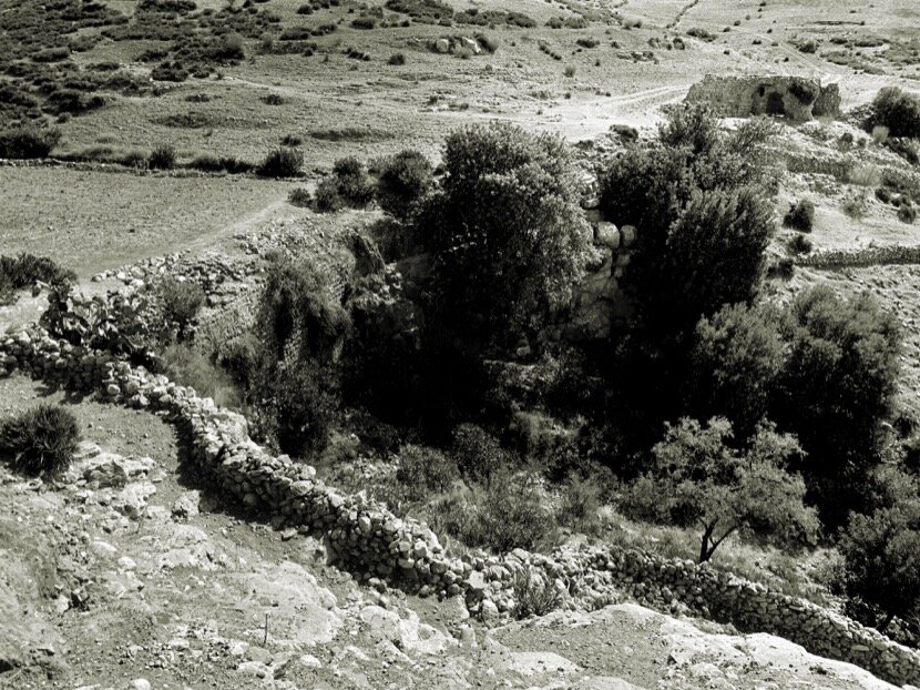
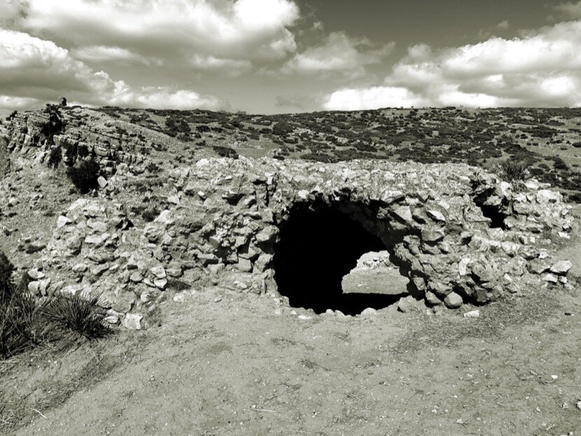
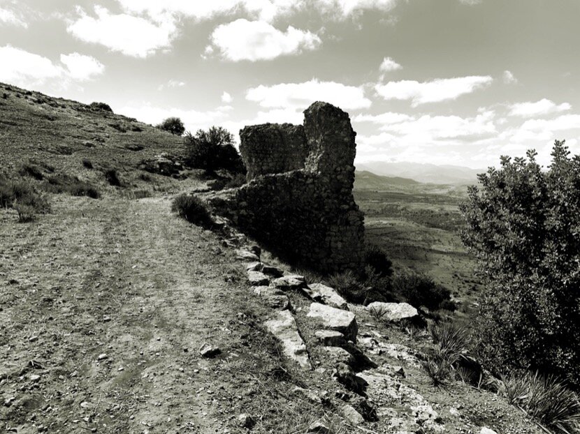
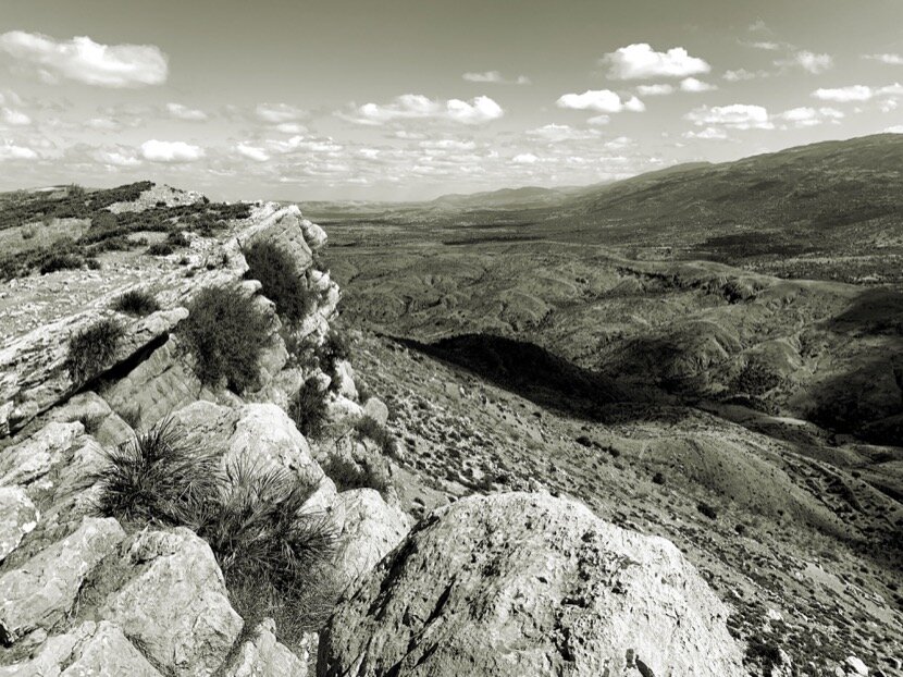
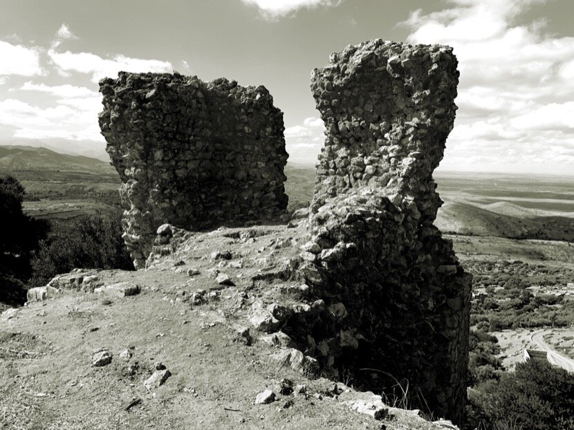
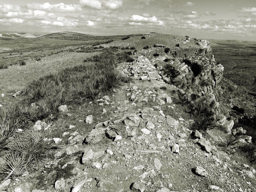
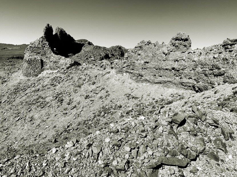
In December 2013, Antoine Bouillon (a French sociologist who lives in Amezrou, Zagora) gave me a tour of the Almoravid fortification of Tazagourt in Zagora, completely in ruins and from which only some sections of the wall and towers of the enclosure remain. It was a shame to see such an impressive architectural heritage in this state, but I began to analyse it from the perspective of military engineering, because its location in the valley and its arrangement on the hill did not make much sense. It was oriented to the north and the hill itself made it impossible to see possible attacks from the south. I must admit that in this appreciation I was conditioned by my origins in Ceuta since the main fortifications were destined to stop the attacks that came from the south. But the Almoravids came from the desert and had to worry only about tribes that might attack from the north, so it seemed logical that the orientation was north. But why was this fortification not in M'hamid, which was the arrival point of the caravans? At that time I did not know anything about caravan routes, but as usual, whenever unanswered questions arose, a new research topic was added to my interest in the desert. From that moment on, I would try to know more about Almoravid fortifications.
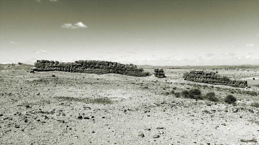
During my many trips to Tighmert I had the opportunity to meet Jorge Onrubia, a Spanish archaeologist who together with Youssef Bokbot has worked for decades in the Noun river basin in Guelmim. It was him who explained to me the Almoravid origin of Agwidir, the fortification that is in Asrir, next to Tighmert. In the past, Asrir and Tighmert were a single palm grove (now divided in two) and were known as Noul Lamta. Archaeological excavations have shown that, at least since the 9th century, there was a caravan trade with Mauritania and an infrastructure to accommodate them, that is, a sedentary occupation of the basin, whose fortification, Agwidir, served to house the population in case of attacks.
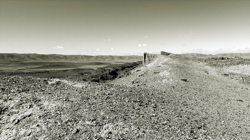
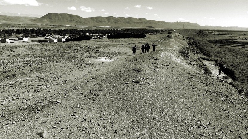
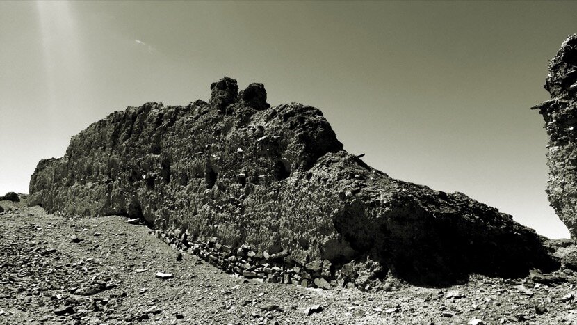
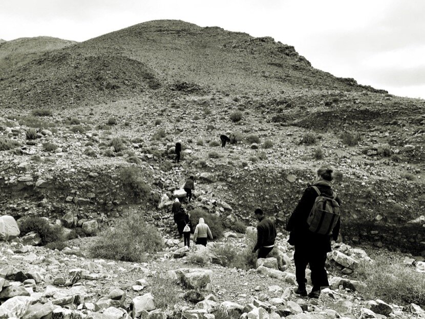
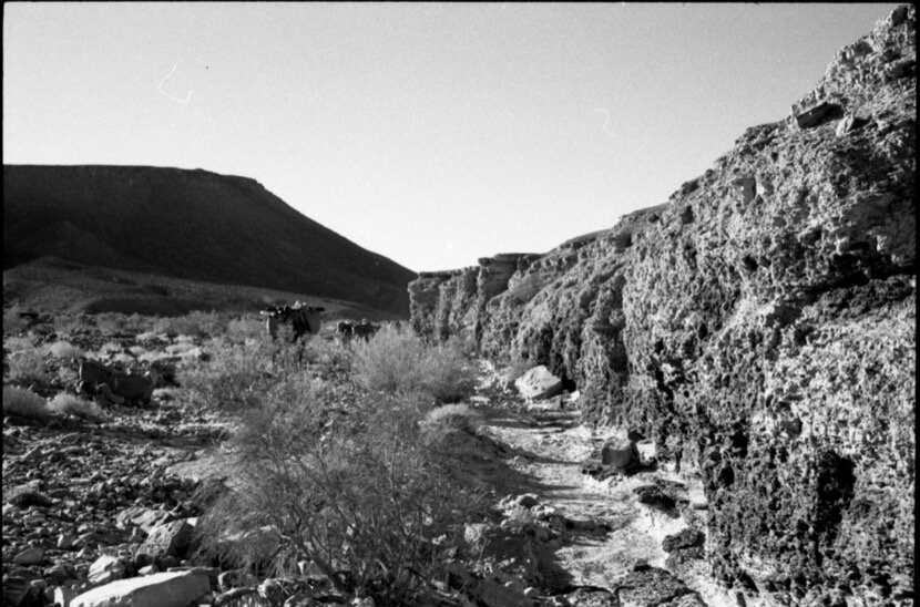
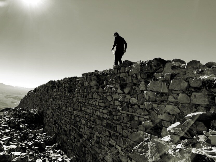
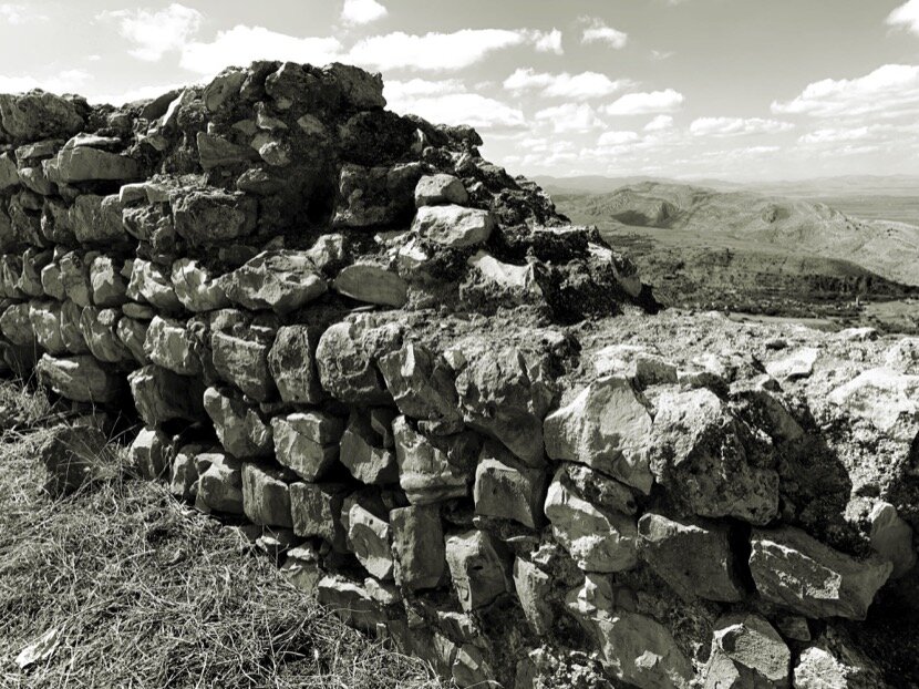
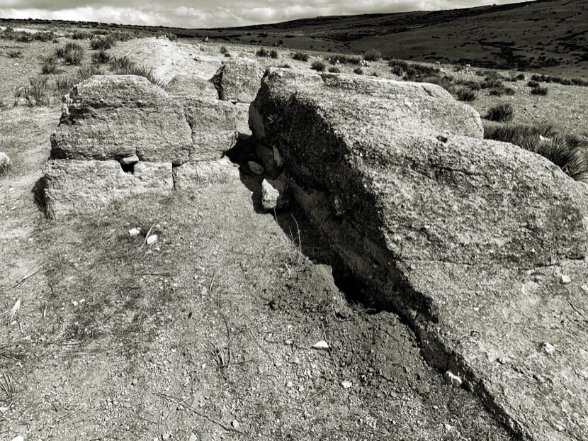
In October 2016, during the first caravan I made, Qafila Oula, there was a situation that showed the importance of putting yourself in the shoes of the caravanners to understand aspects of geography and control of the territory. After going around the dunes of Merzouga, we headed straight to Taouz. The speed of the walk allowed us to calmly contemplate the landscape as we approached a rock crowned by a particular geological formation, at least that is what it looked like from a distance. When we were very close, I realised that it was actually a wall built of stone that surrounded the upper part. The shape of the "rock" made the fortification orientation farther north; fortification in height, built in stone and facing north, the same characteristics of Tazagourt. Salim offered me to stop so I could go up and explore the place, but I knew that I would need a lot of time to examine it and that, anyway, I would return in the future exclusively for that, taking advantage of one of my many stays at Tissardmine.
While preparing Qafila Oula, I had been studying the geography of the region with the cartography I found on Internet, some plans of the American army redrawn from those made by the French army in the 40s, they were quite detailed and seemed reliable. I had imagined a route based on those plans and on Google Maps, but my friends and Salim (the nomad who accompanied me), explained to me that it was a bit risky because some passages were too narrow for the two camels. I was disappointed to learn that we weren't going to do the way I thought the caravans did, but I had to accept it. After 10 days of hiking, we reached the Drâa valley by Tizi n’Tafilalt, right next to Tazagourt, at that moment, I understood the location chosen by the Almoravids, a crossroads for the caravans that came from M'hamid where they had the option of going towards Sijilmasa and Fez or towards Marrakech. Also, once Qafila Ouala was finished, I met Mohamed Boussalh, and archaeologist and director of CERKAS in Ouarzazate, when I told him about the characteristics of a stone fortification near Merzouga and looking north, he confirmed that it was Aoufilal, an Almoravid settlement, to which I was able to return a year later and verify its position to control the passage of caravans between Zagora and Sijilmasa and between the latter and Gardaïa in Algeria.
Between trips and stays in the south, I always try to find more information about places I just visited or about discoveries, and it seemed clear that I needed to know more about the Almoravid fortifications.
In February 2018, the artist Abdeljalil Saouli (who had participated in the first two editions of Caravane Tighmert) invited me to visit his hometown, Moulay Bouchta al-Khamar (Taounate), where he was building his studio house. He wanted me to confirm the suitability of his construction system, earth and olive wood, leaning on the rock of his plot. I was also curious to know his surroundings since his work was closely linked to the place, to the field. From the first day I was struck by the strength of the landscape, especially the presence of the rocks on which the houses rested, in a rather unique spatial and metaphorical relationship. I found similarities with the oases, where everything revolved around agriculture within the palm grove, which served as protection against the harshness of the desert, in Abdeljalil’s village the protective element was the rocks. In addition, it was very interesting to discover the two marabouts of Moulay Bouchta, still highly revered in the region, one of traditional architecture (Alawite) in the village and the other on the top of the mountain, taking advantage of a small hole in the rock, small, without decoration or built elements. One marabout seemed more earthly, the other in complete symbiosis with nature.


This first visit was very brief, but before I left, my friends took me to have a tea at the edge of the el-Wahda dam, from the cafe I saw stone walls on top of one of the mountains that surrounded us. Abdeljalil explained to me that it was a fortification built by the Almoravids. It was obvious that I was going to have to go back to Moulay Bouchta...
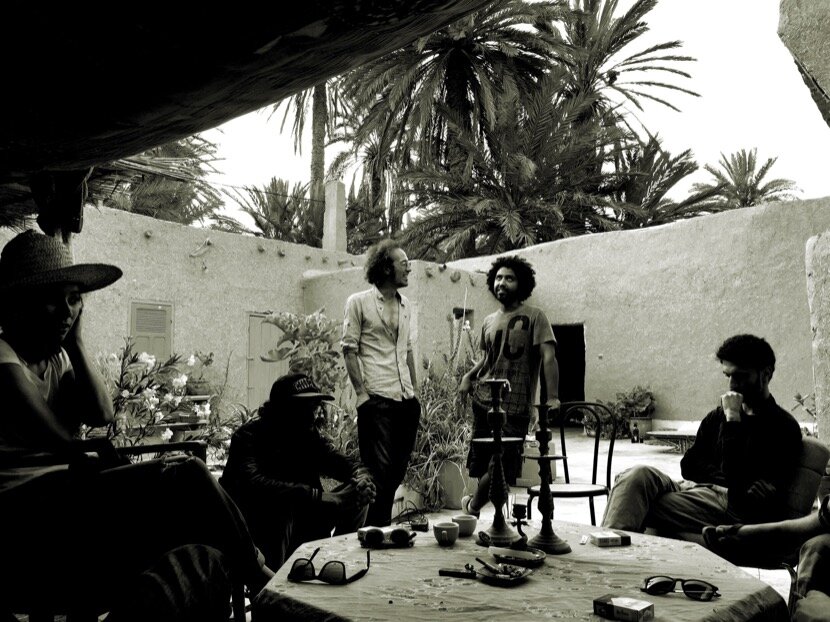
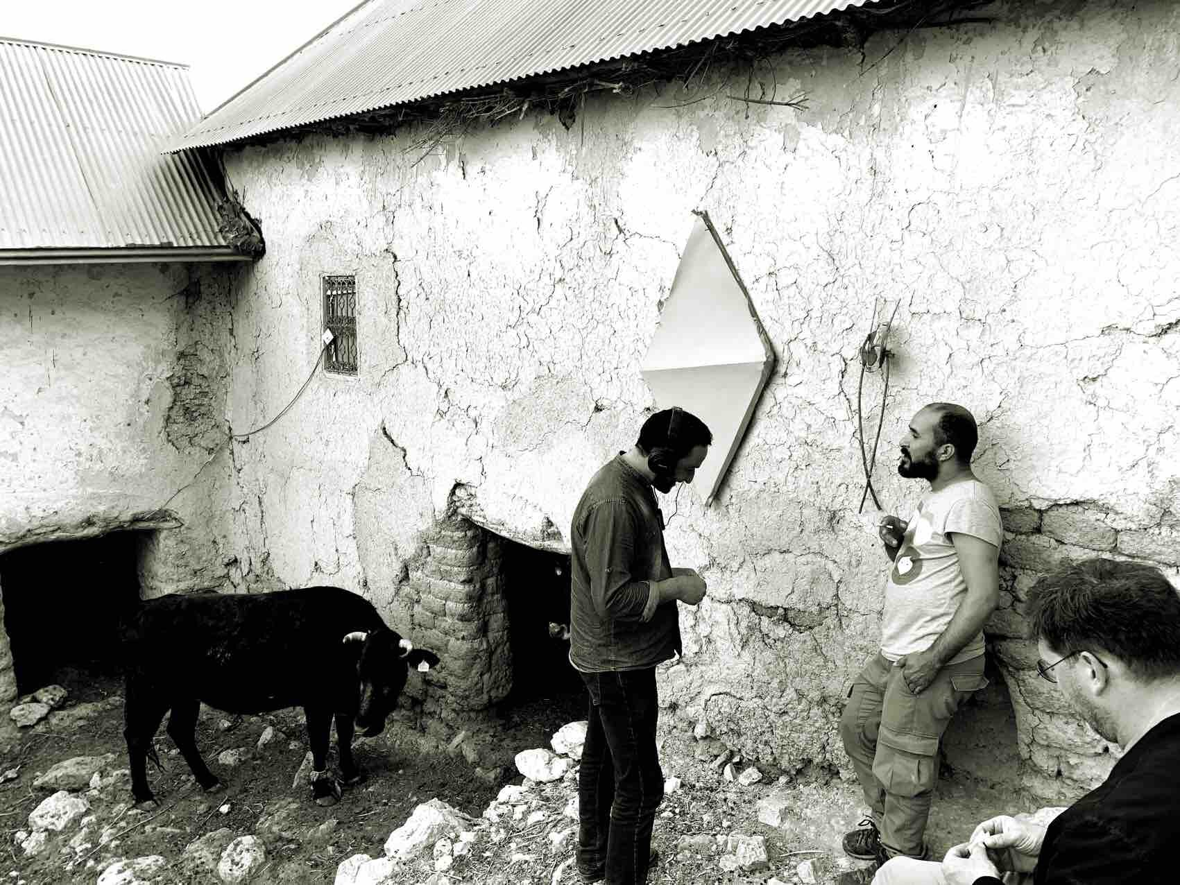
In September 2018, Abdeljalil suggested me to return to develop a series of investigations together with Swiss sound artist Gilles Aubry, who had already come several times to Moulay Bouchta, also to Tighmert. We dealt with various topics, vernacular architecture, its relationship with the landscape and rocks, history, geology, the role of contemporary artists in society, rurality... Many of these topics I had already considered in my research in the south but it was interesting to contrast them in a northern region. In one of our conversations, the idea of organising a cultural event, Sakhra (rock in Arabic), came up to show the potential of a place like Moulay Bouchta in relation to contemporary culture. Tighmert's experiences were very useful and during a weekend the invited artists (some had come before to work or discover the place) and the public (from the village or from other places, in particular artists and architects) held workshops, showed their works or participated in conversations and exchanges.
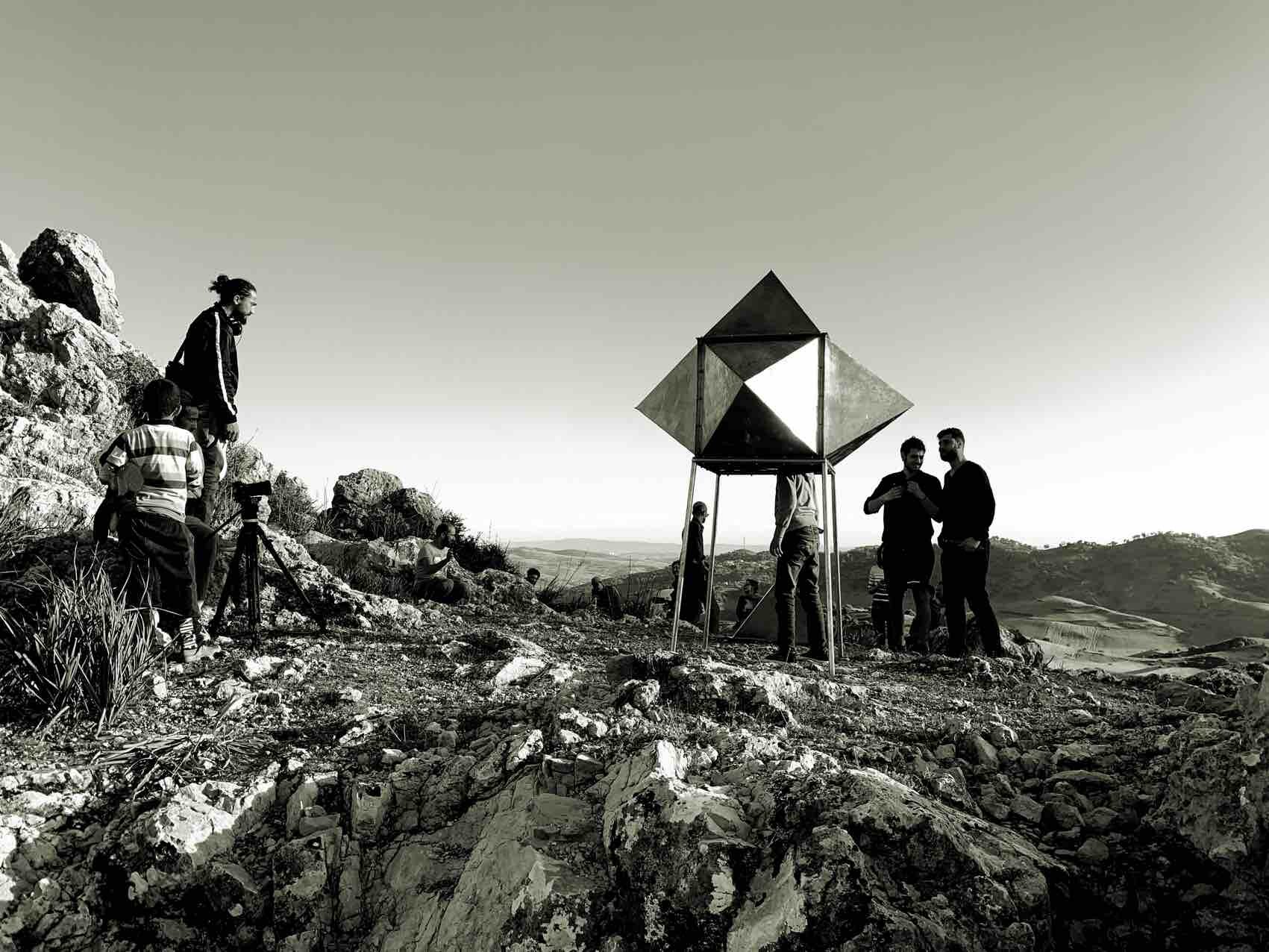
I took advantage of previous trips to Sakhra to deepen my research around the Almoravid fortifications, because the existence of Amergou was going to give me new clues to follow.
Why did the Almoravids choose this place? If in the south the situation of the fortifications was linked to the caravan routes, did it make sense to think of Moulay Bouchta as a caravan crossing? We had to review the plans with the old routes and look carefully (in Google Earth) at the topography of the region because from Amergou they could control the passage of the caravans that went from Fez to Ceuta and those that headed from Ceuta to Oujda and Algeria, one of the main east-west axe in Africa, In other words, it was an important point to ensure trade. In the near future I hope to be able to travel the Fez-Ceuta route on foot within the framework of the Qafila Project.
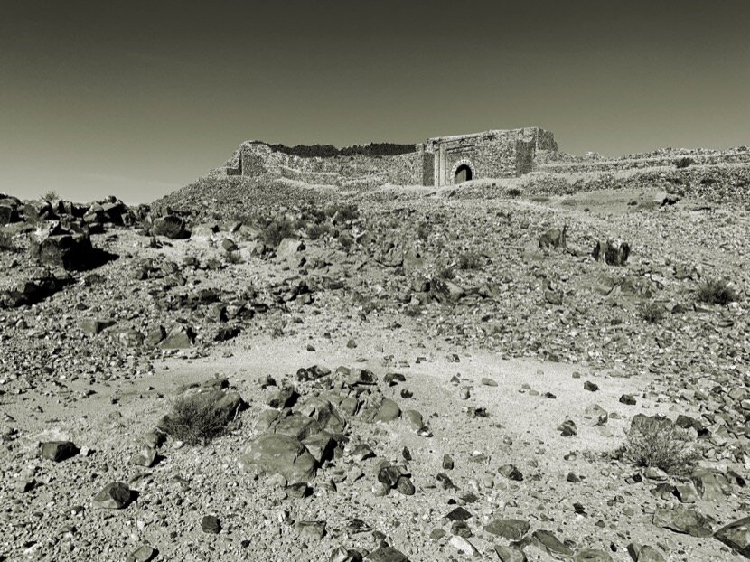
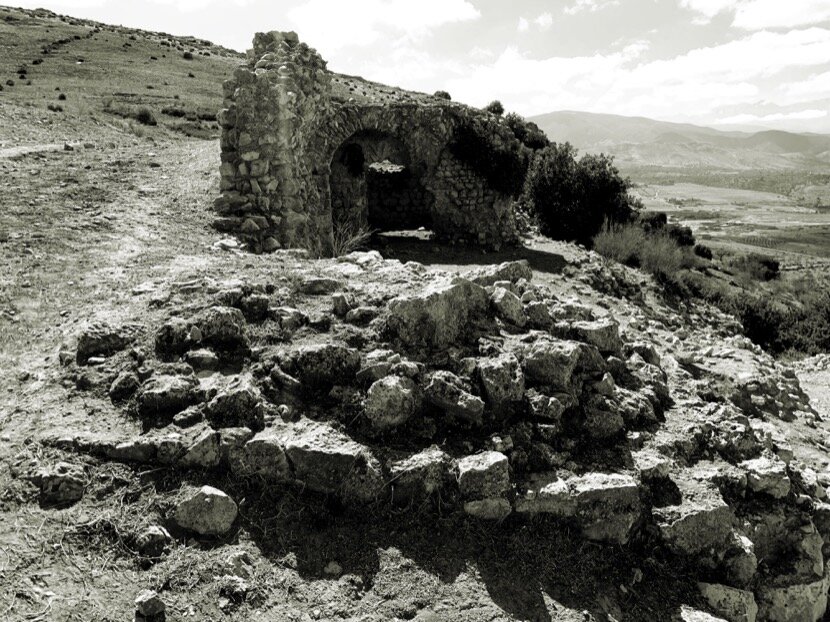
In November 2018, it was Qafila Thalitha turn, 330 km between Tissint (Tata) and Tighmert (Guelmim). I already knew about the existence of Dar Sultan fortress in Taghjijt (Guelmim) and had read a document on the archaeological excavations carried out, Almohads in pre-Saharan Morocco?, But I wanted to approach the site on foot, taking the only caravan route that directly linked to the three Saharan ports of M’hamid (Taragalte), Tamedoult (Tata) and Tighmert (Noul Lamta), it was one of the main routes of the network and therefore it was logical that they would place a fortification in Taghjijt. Passing through the natural pass I had the same feeling as when I did it next to the fortifications of Aoufilal (Errachidia), Tazagourt (Zagora) and Amergou (Taounate).
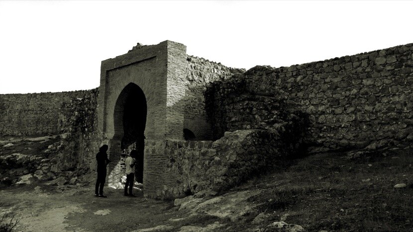
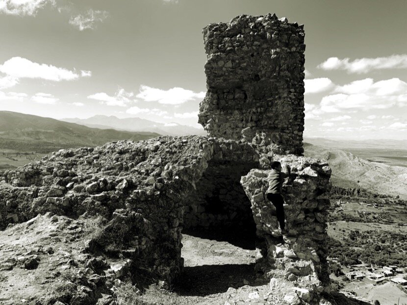
Right after Qafila Thalitha I went up to Dar Sultan with Ahmed Dabah (we were looking for places to propose to visit the artists of Caravane Tighmert), I wanted to examine the place to compare it with the other Almoravid fortifications, mainly because during archaeological excavations, some data from Carbon-14 dated the construction during the Almohad dynasty, however the pieces of wood corresponding to the slabs found in the stone walls indicated that they could be from the Almoravid period. A more in-depth study will be needed, but in my opinion the construction is Almoravid and was later reused by the Almohads. What is beyond any doubt is the strategic importance of its position, the only way to control the caravans that arrived from the desert and did not stop in Tighmert, heading directly towards Zagora, Ouarzazate and Marrakech or, Zagora, Rissani, Fez.

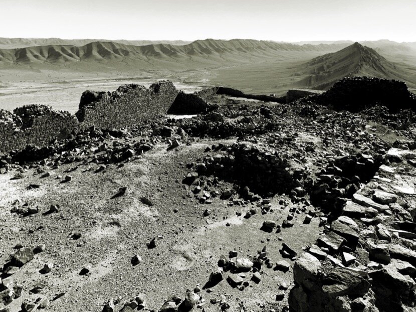
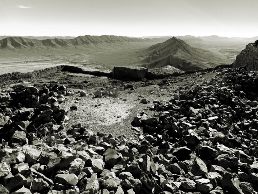
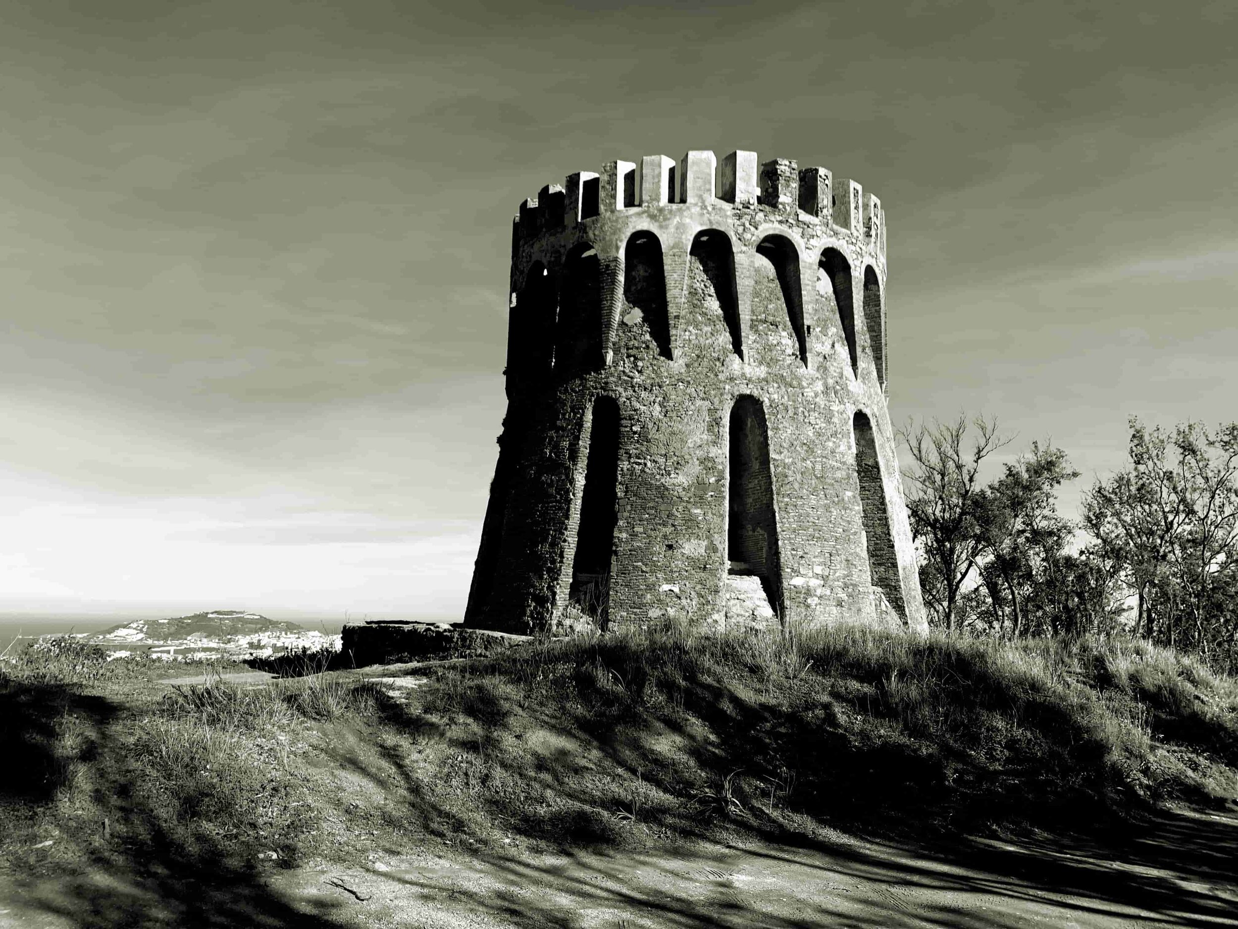
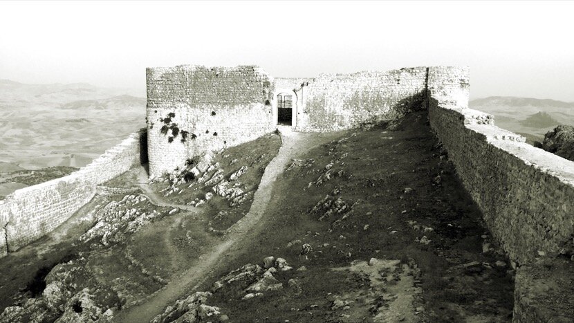
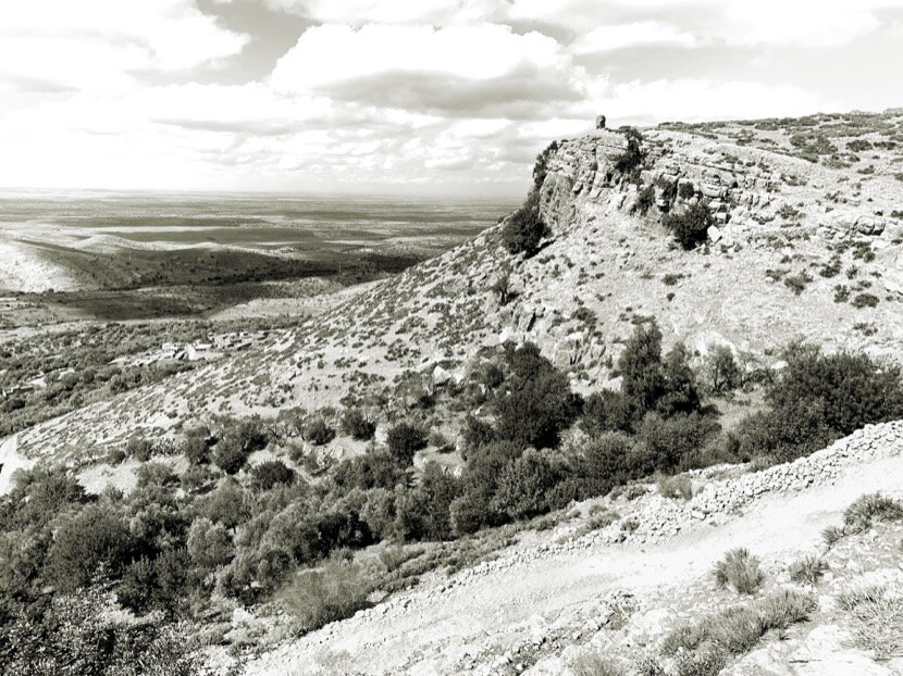
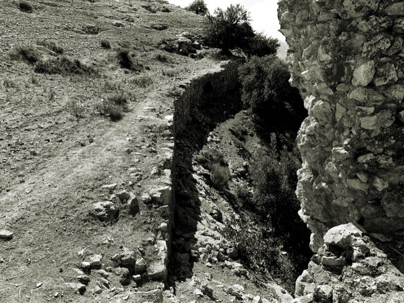
In November 2019, just beforee Qafila Rabbia, I wanted to visit an Almoravid fortification near Aghmat (Marrakech), in the foothills of the High Atlas Mountains, Tasghimout (1124). Once there, I observed the same characteristics as in the other Almoravid fortifications; stone, raised on a hill and with a privileged view on a feija (name that nomads give to the passes protected by mountains and that do not necessarily constitute a valley). It is the largest Almoravid construction (47 hectares) of all known. After commenting on my visit to my friends from the Labina association in Marrakech, we decided to organise a guide visit with architecture students to explain the place to them. It was very interesting to share the analysis with geologists, historians, builders, archaeologists, architects... However, we had some discrepancies about the functions of this fortification. According to historians, it was supposed to protect the city of Marrakech, which had been founded recently, in 1070, but if you thought of yourself as caravanners, it made no sense. The two possible routes to cross the High Atlas mountains and reach Marrakech were the Tichka pass (coming from Ouarzazate and the Drâa valley) and the Tizi n’Test pass (which connected with Taroudant). In both cases, the roads to get to Marrakech were kept away from Tasghimout, the first by Ait Aourir and the second by Tahanaout. However, if the attackers descended from Tichka while heading towards Aghmat through the feija, then they would encounter the fortification. Ultimately, Tasghimout had the function of protecting Aghmat, which was normal, because it maintained its economic importance after the founding of Marrakech. When I explained the reasoning from the caravan point of view, the historians replied that they could never have thought this way and that I was probably right. A few weeks later, while reading Le Maroc Noir, I came across a chapter showing the clashes between the Almoravids and the Almohads at Aghmat in 1126, mentioning the importance of Tasghimout for the defense of the city.

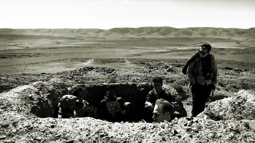
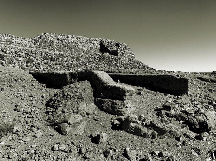
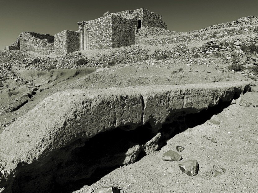
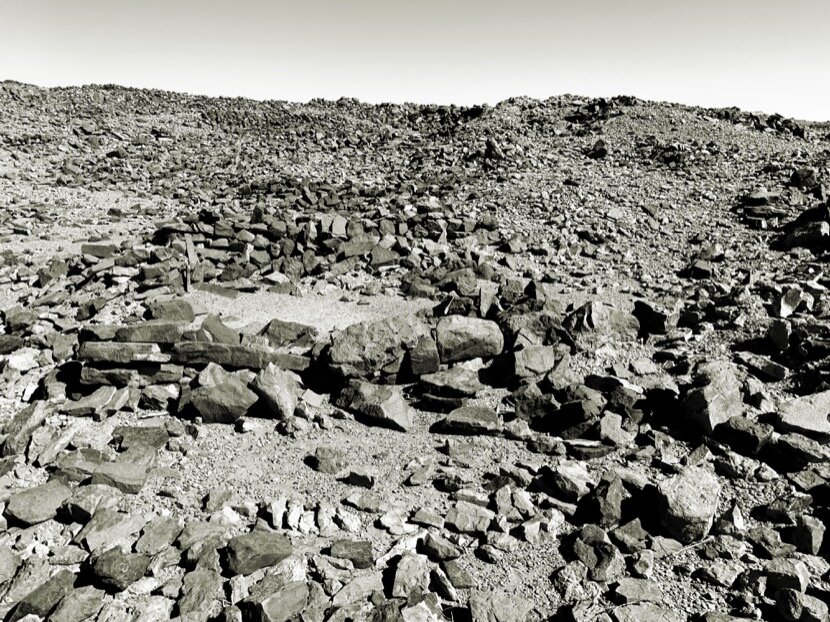
A few weeks later, after Qafila Rabiaa and the Festival Taragalte, I was able to visit the fortification of Irhir N’Tidri, in the pass between the palm groves of Ktaoua and M'hamid, which I had done precisely during Qafila Oula in 2016, but without having knowledge of all the vestiges that still existed in the different hills and that made up the two oasian spaces. The study of cronología del valle del Drâa shows the complexity of the heritage and the difficulty in dating it, due to its length and the inaccurate and sometimes contradictory information of the time. In any case, it was interesting to visit another fortification built in stone on a natural passage for caravans.
Now I only have to visit an Almoravid fortification, Jebel Moudawar, near Rissani (Sijilmasa) and which was probably near the place where they set up the wholesale market to cover the needs of the caravans, a souk that Ibn Battuta located east of the rivers Ziz Gheris, according to the chronicle he wrote during his visit to Sijilmasa in the 14th century.
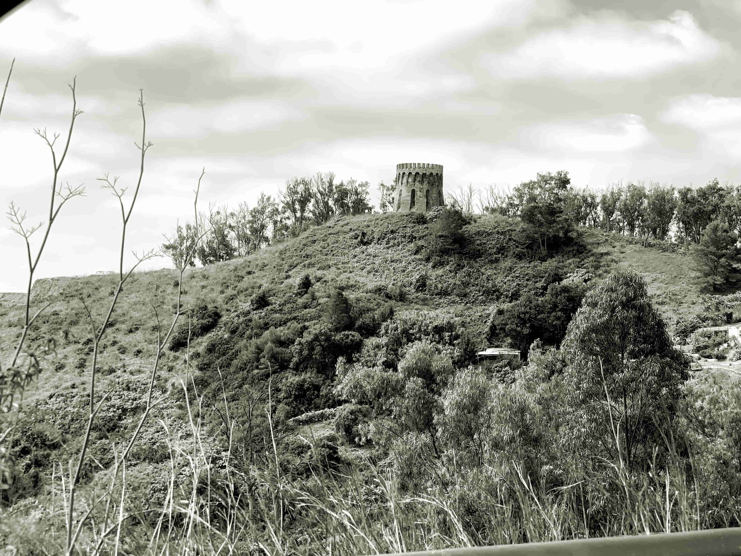
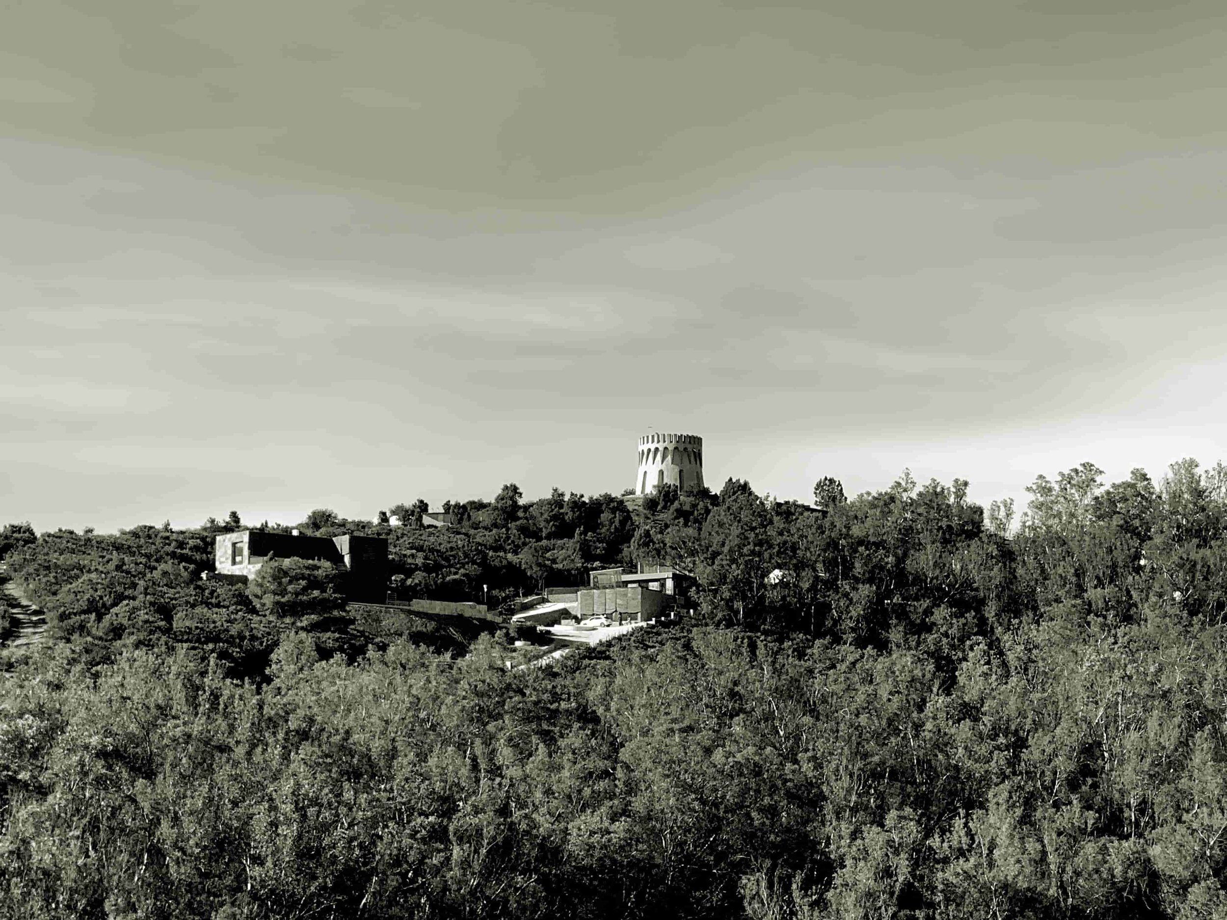
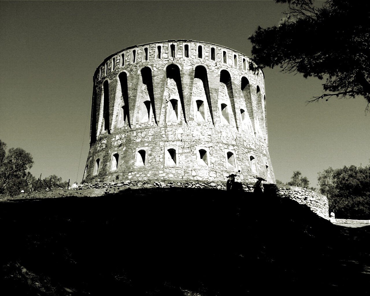
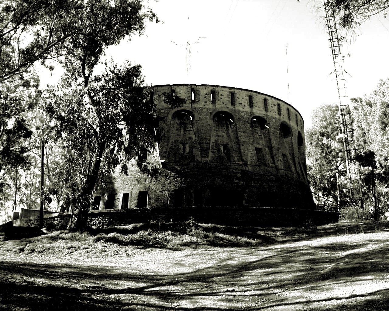
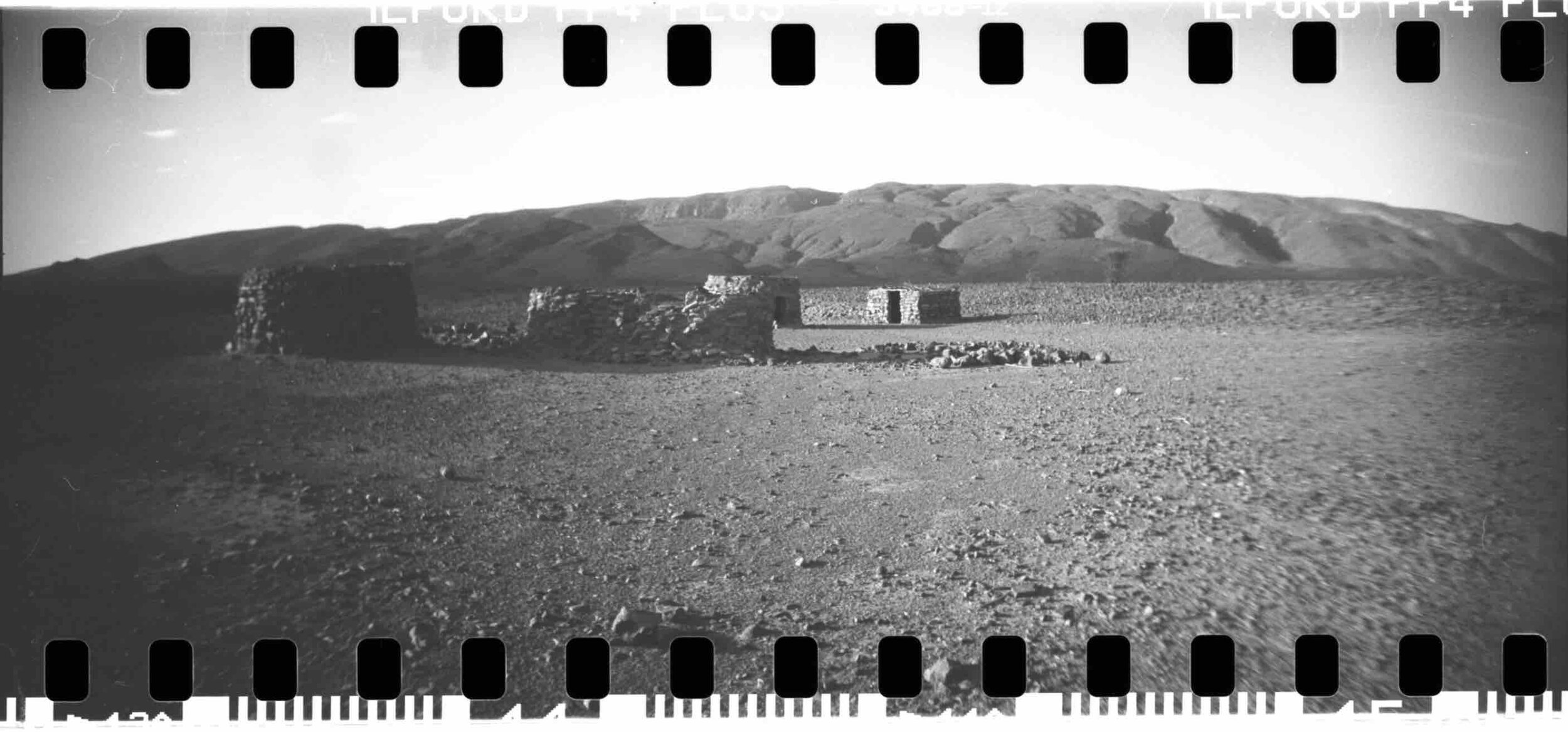
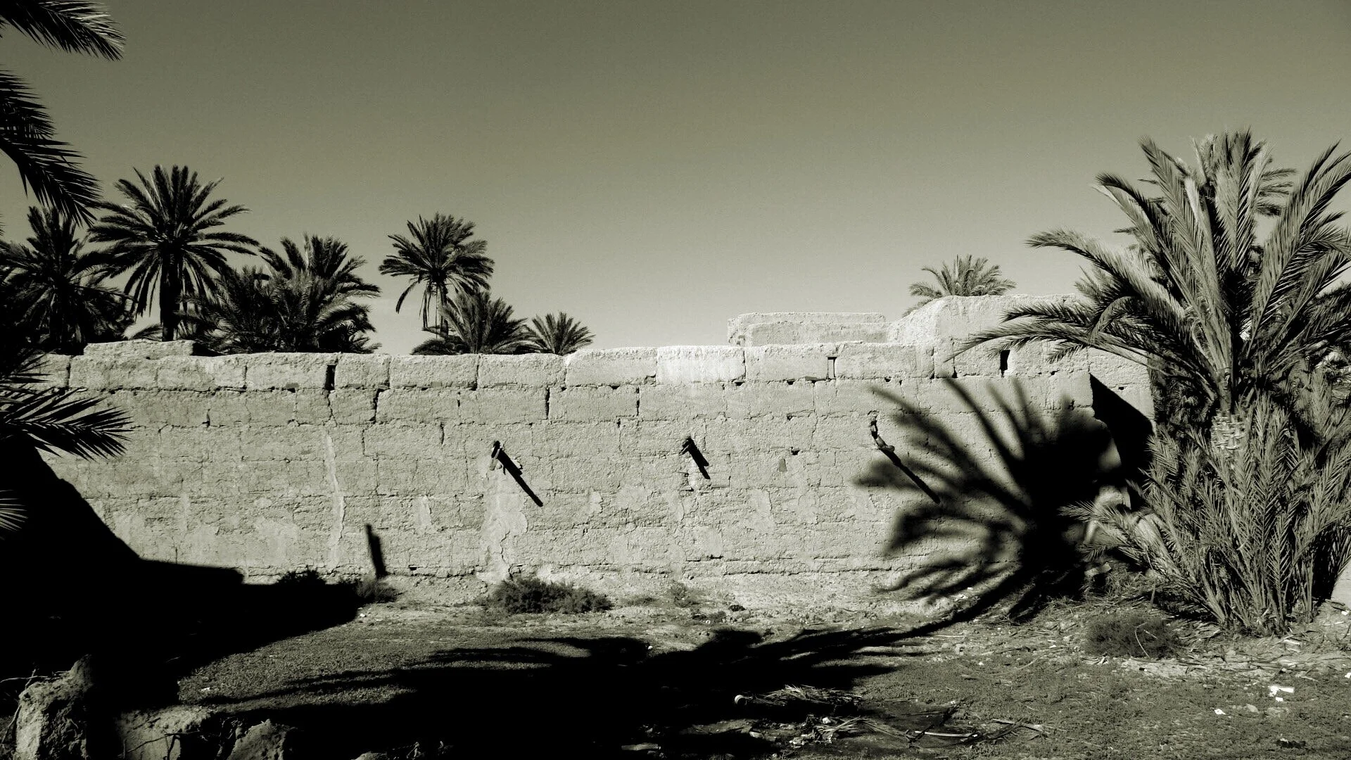
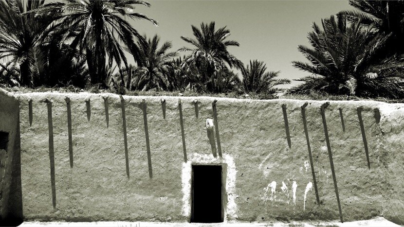
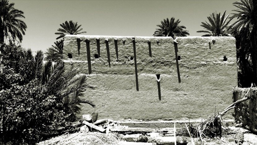
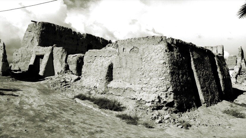
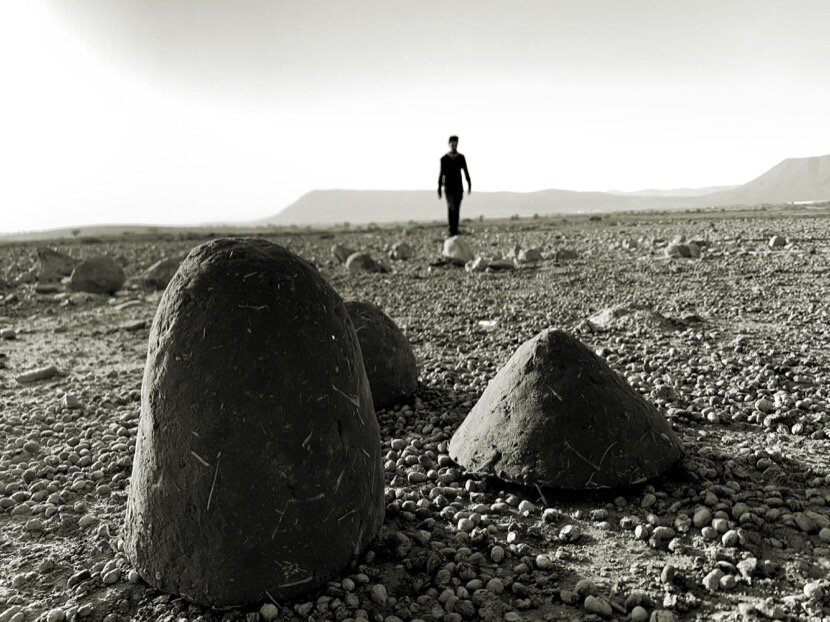
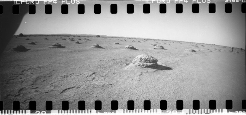
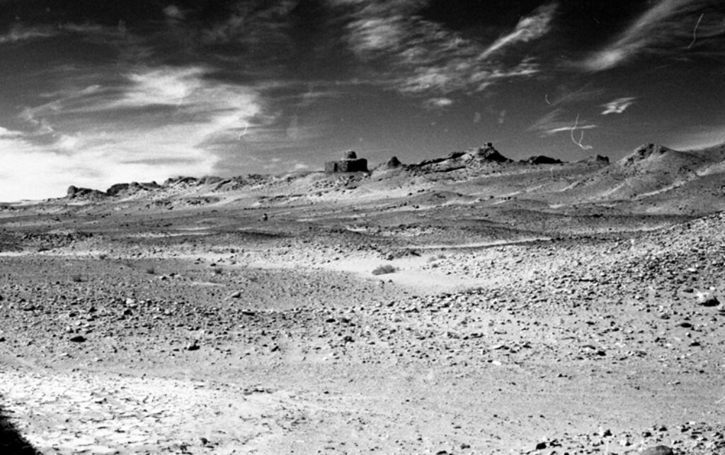
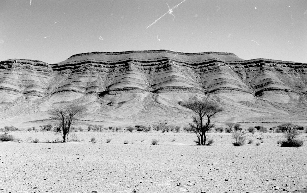
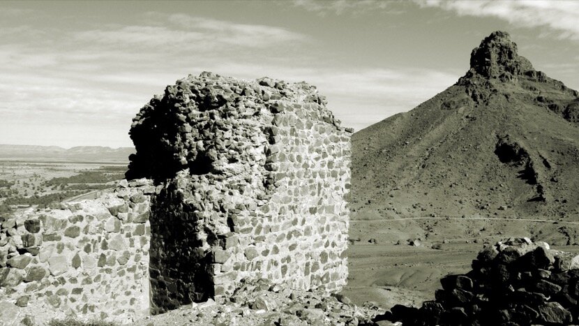
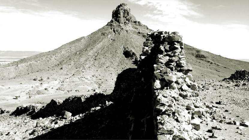
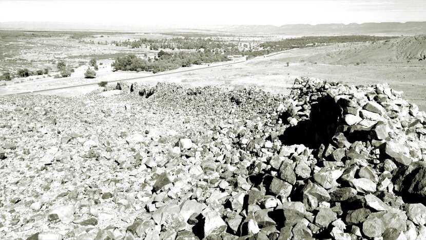
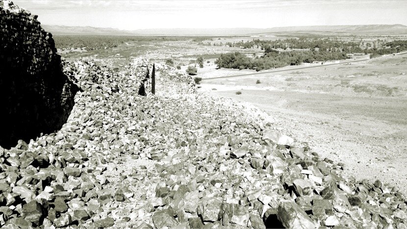
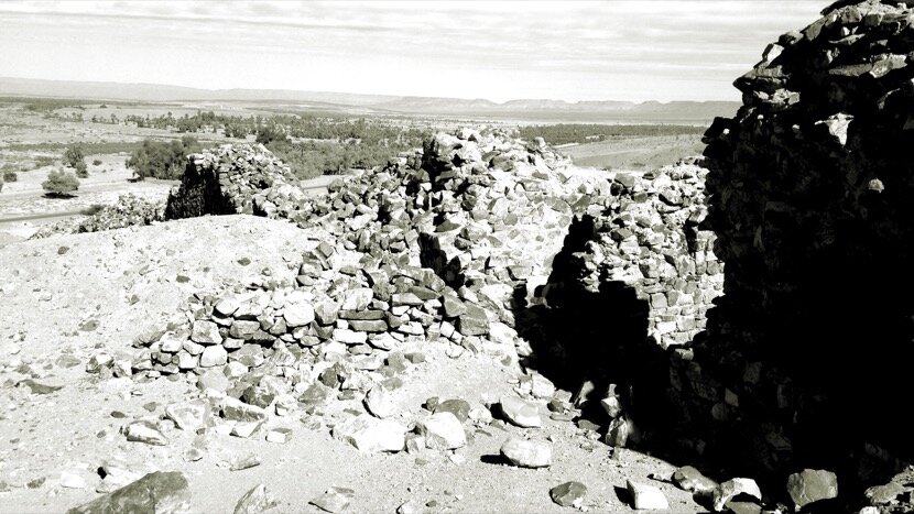
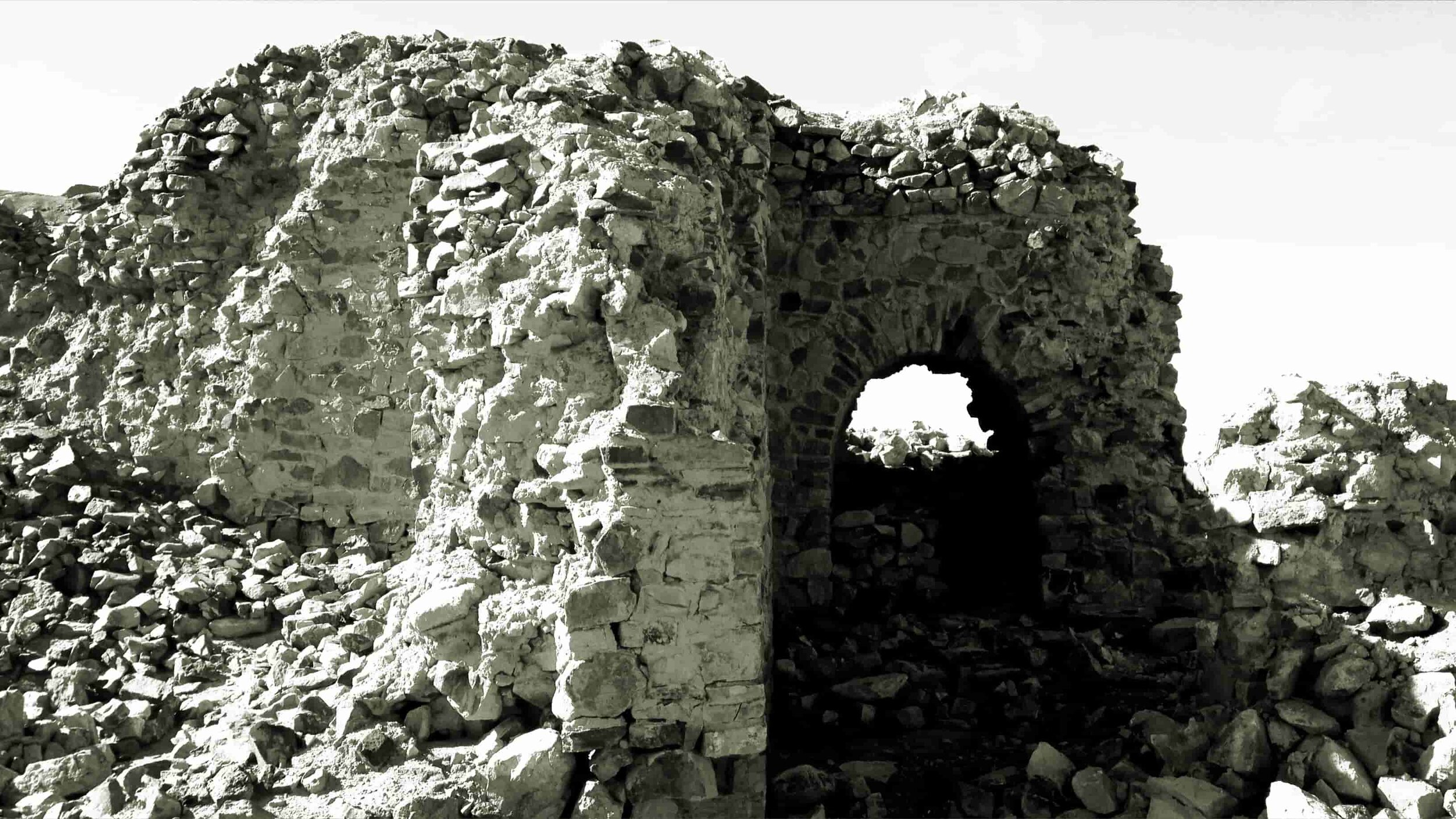
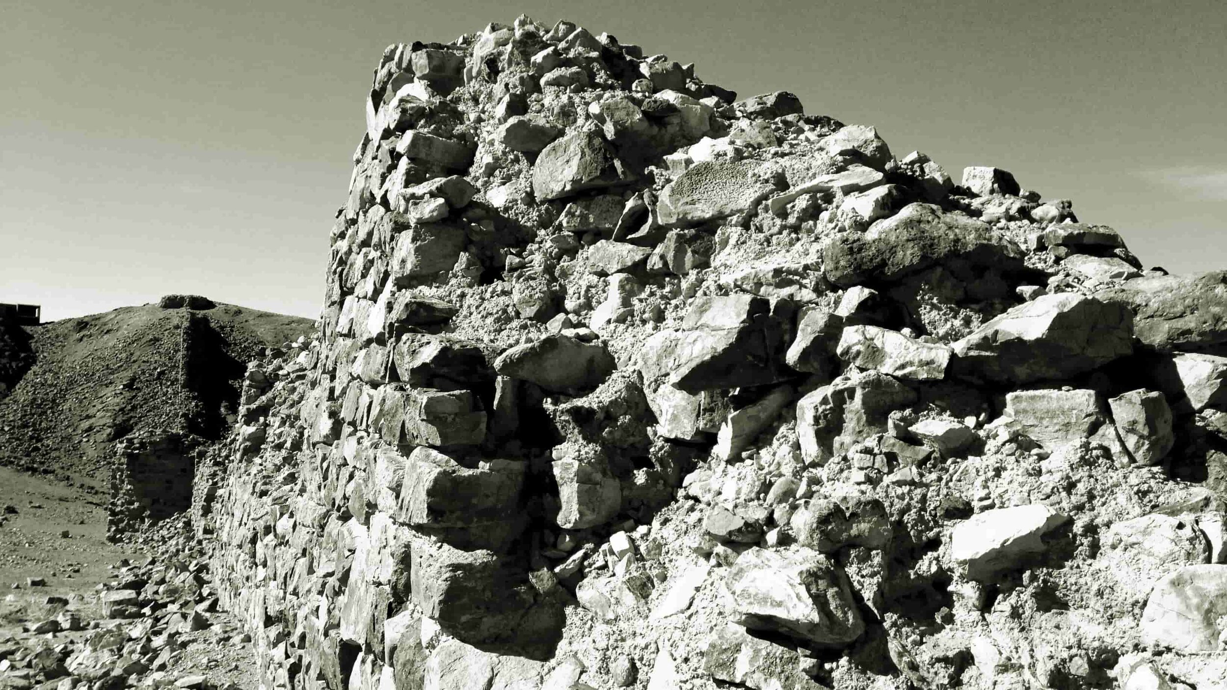
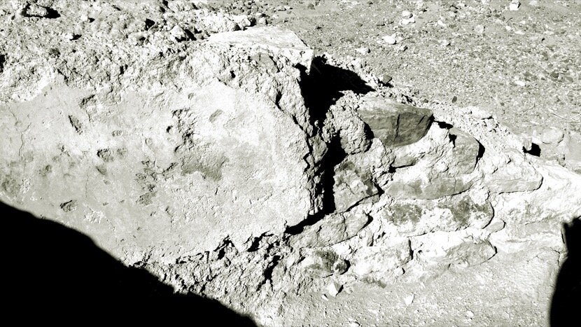
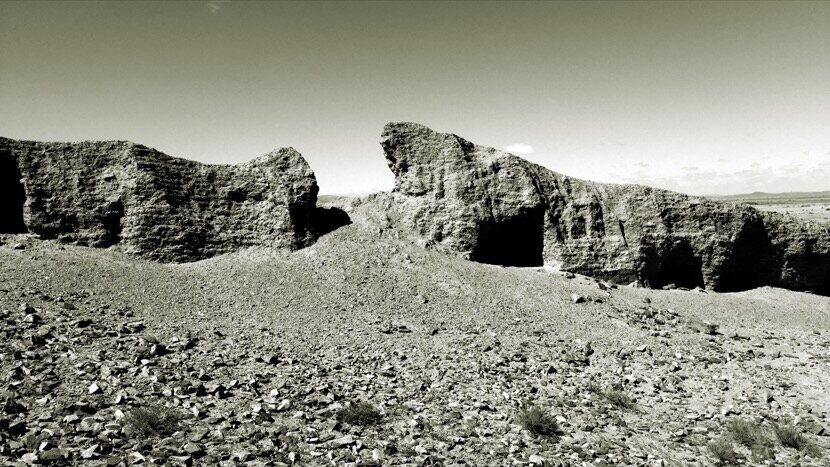
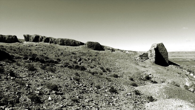
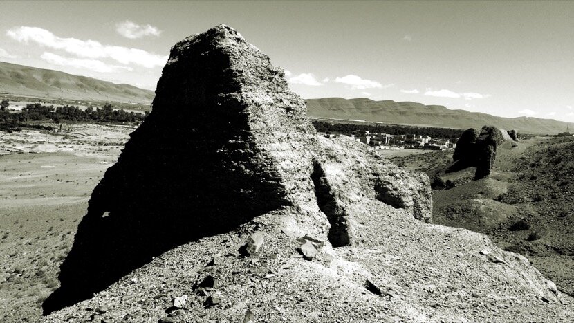
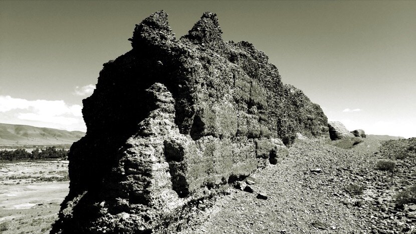
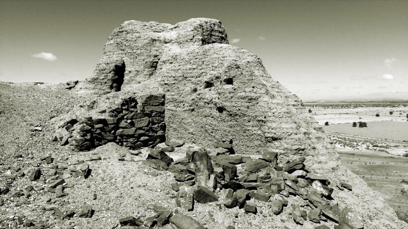
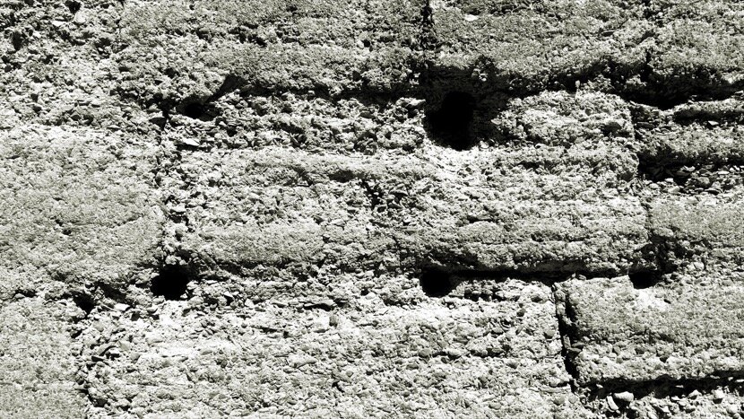
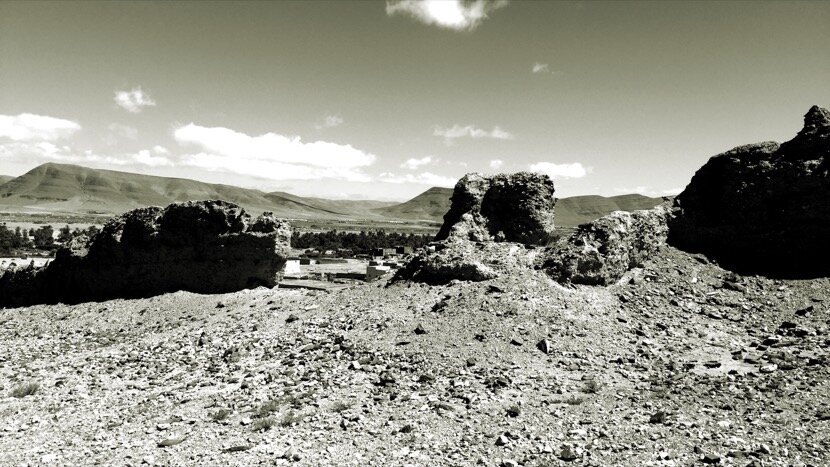
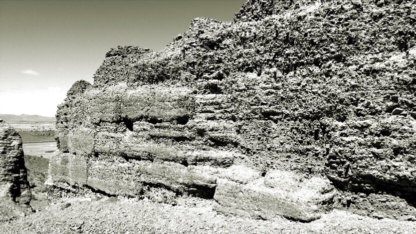
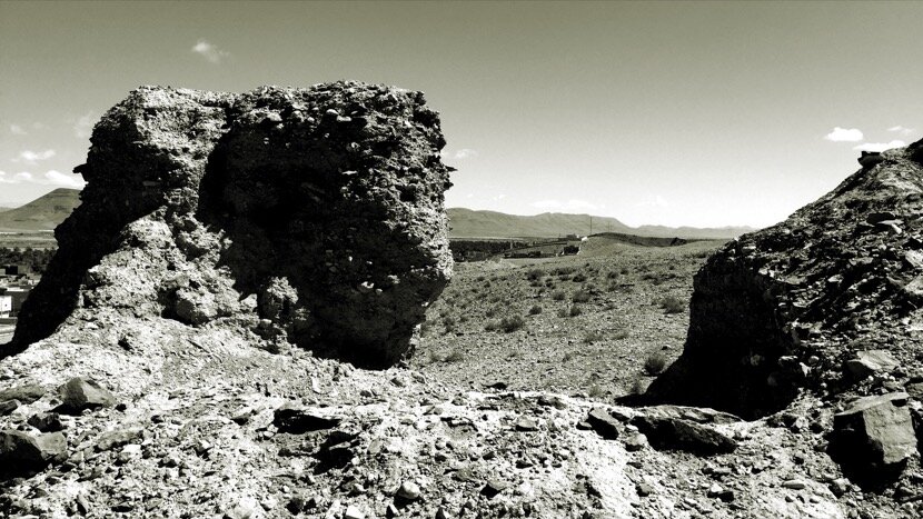
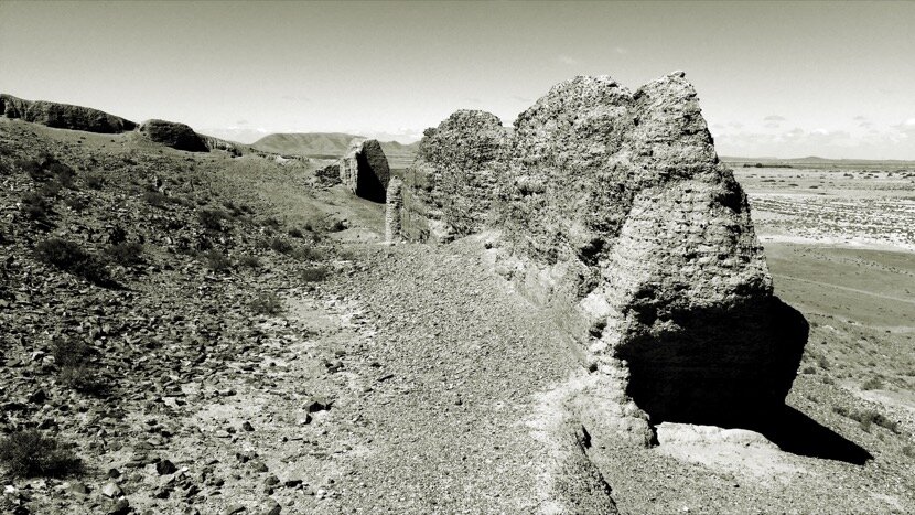
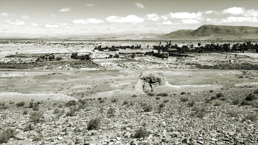
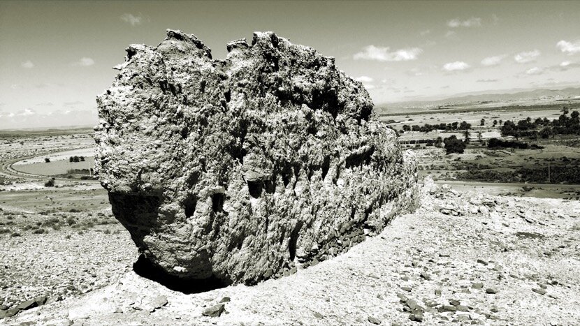
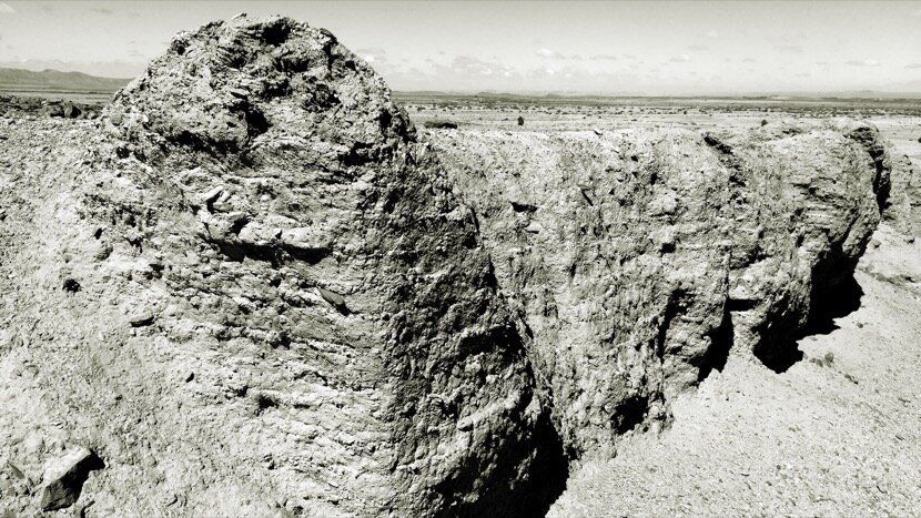
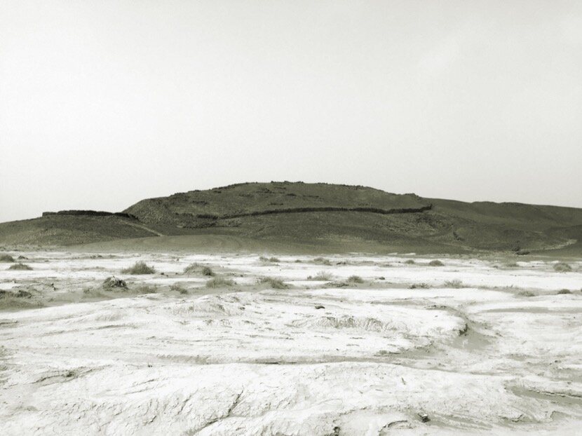
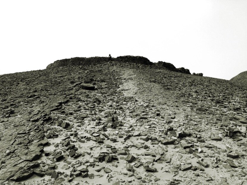
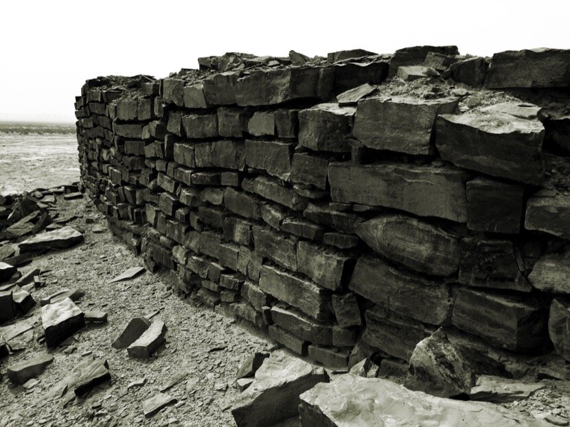
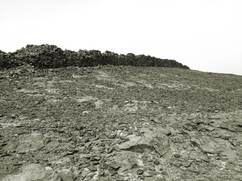
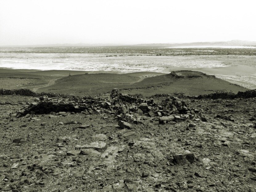
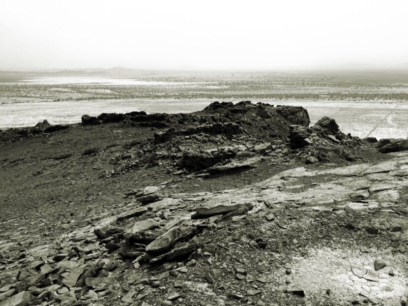
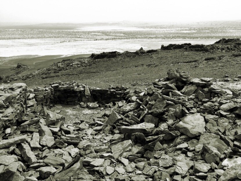
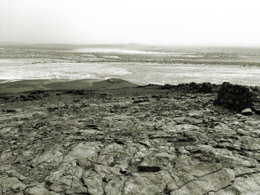
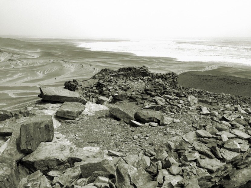
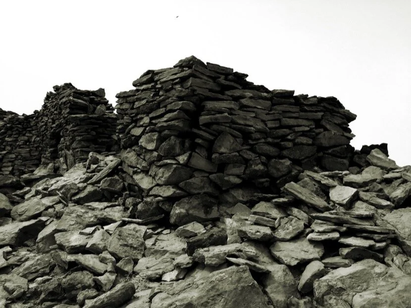
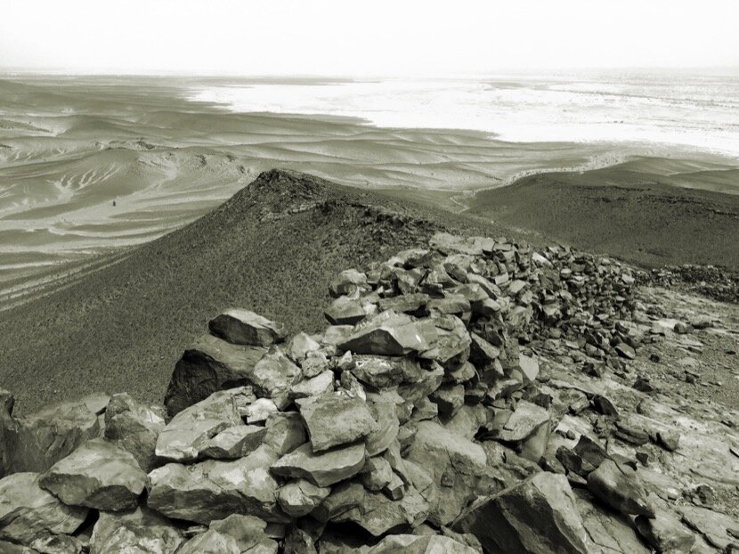
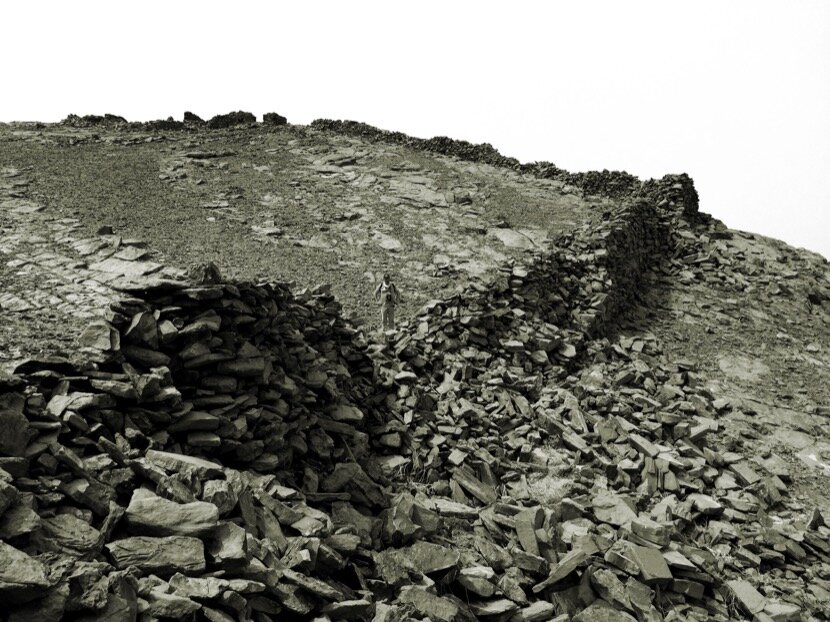
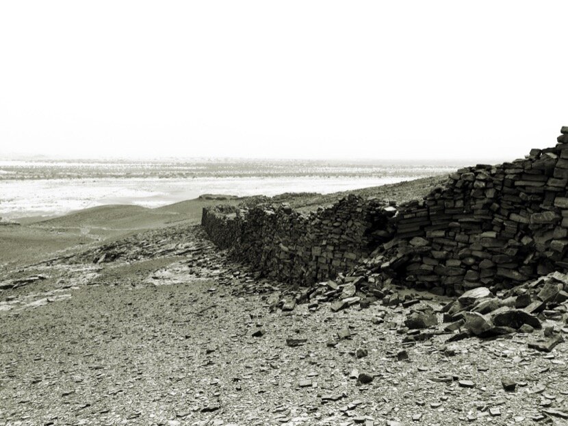
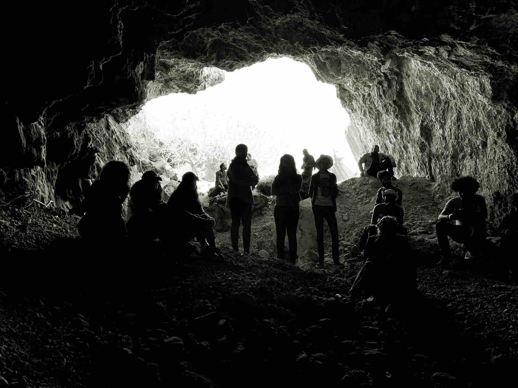
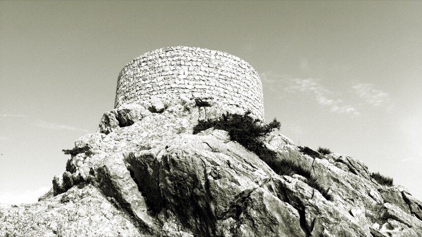
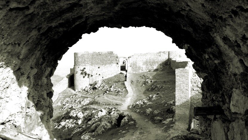
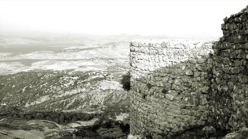
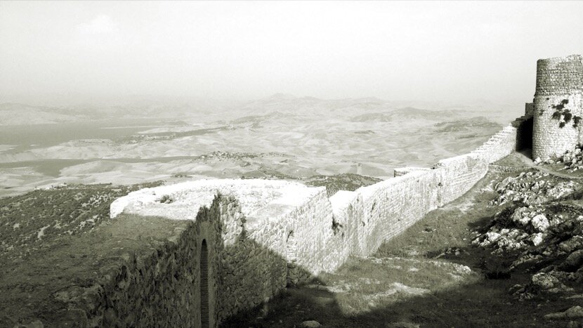
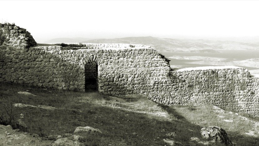
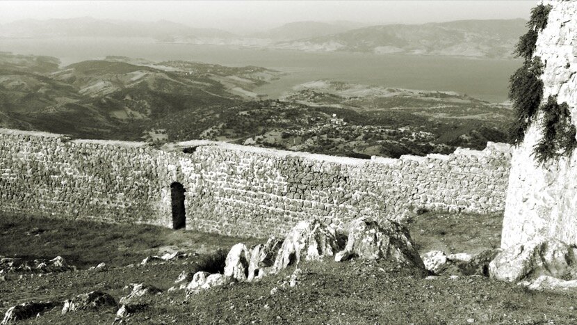
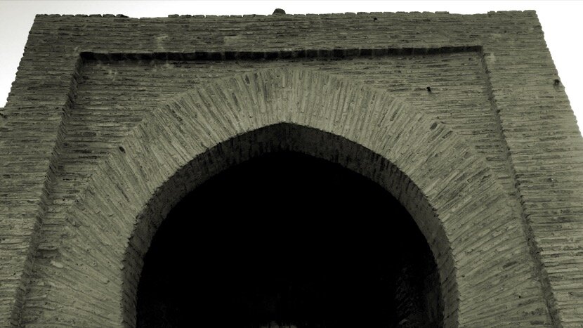
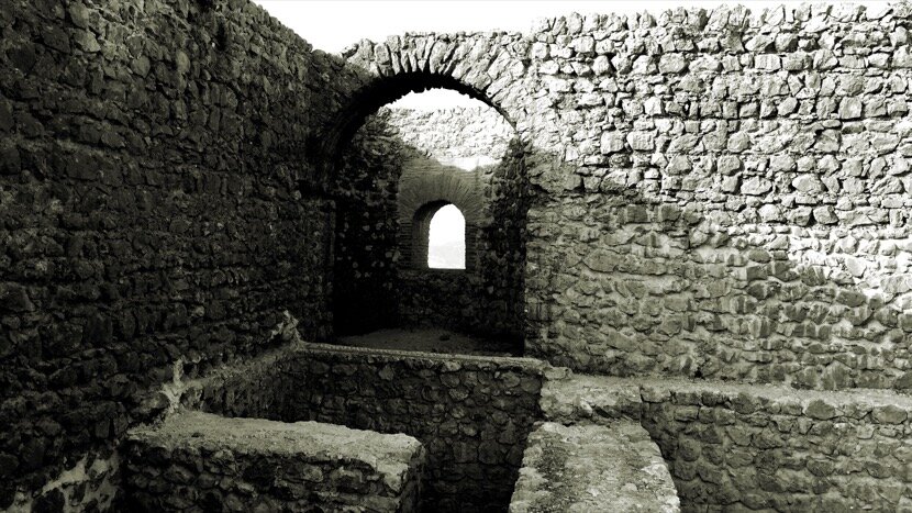
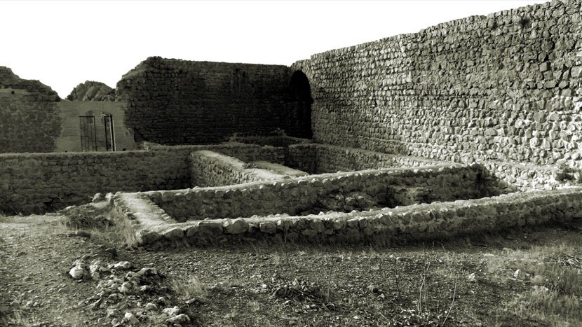
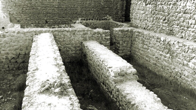
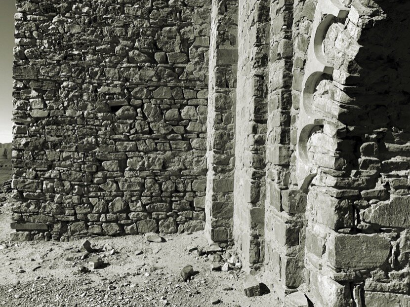
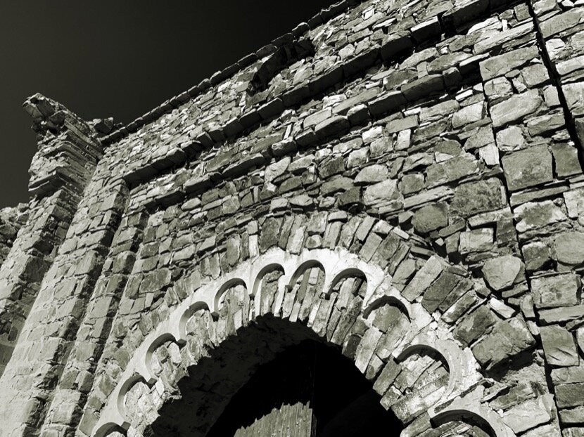
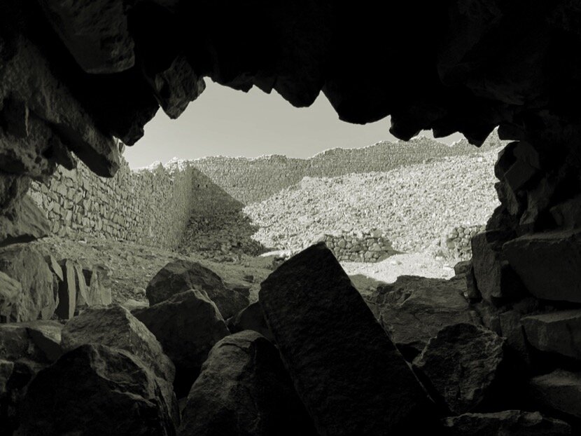
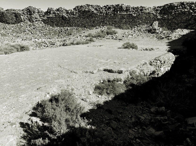
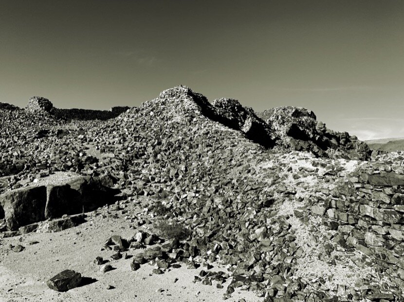
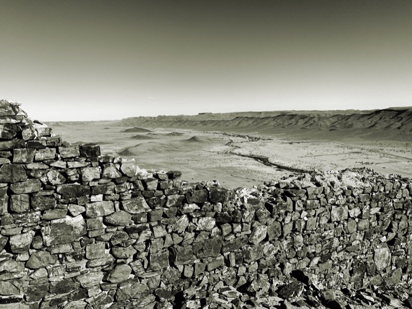
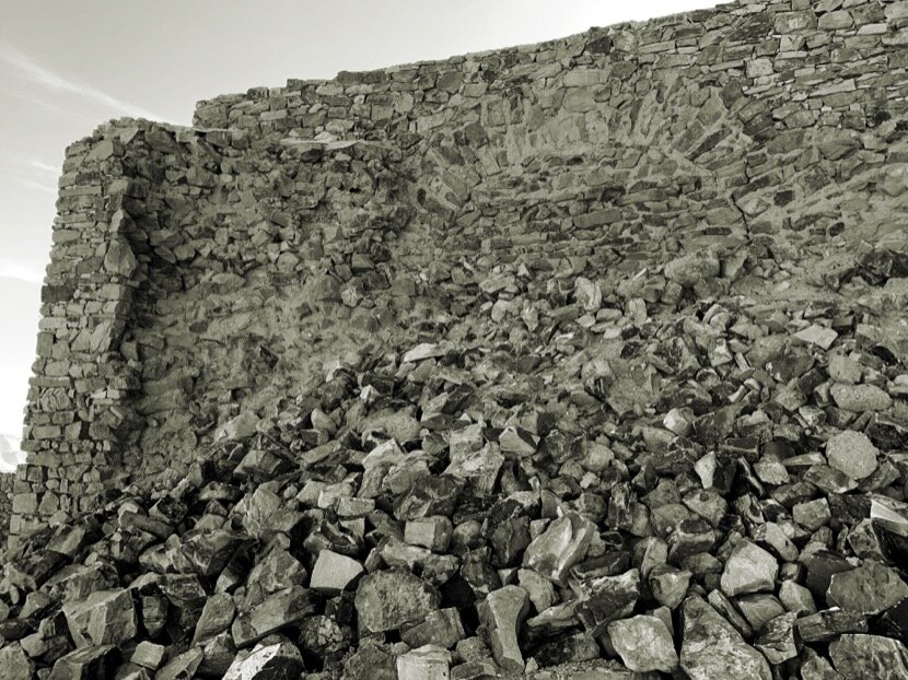
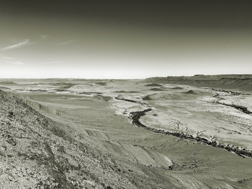
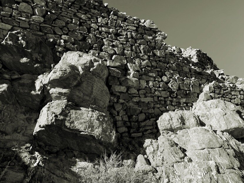
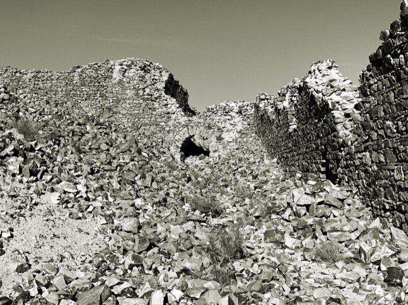
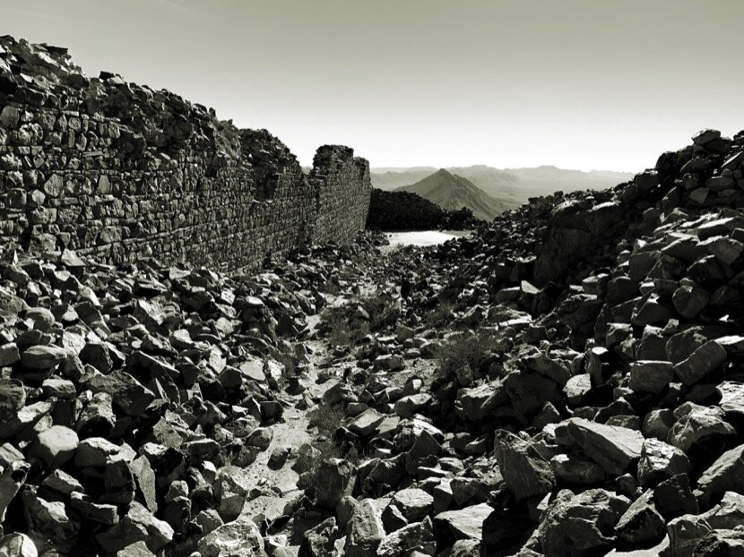
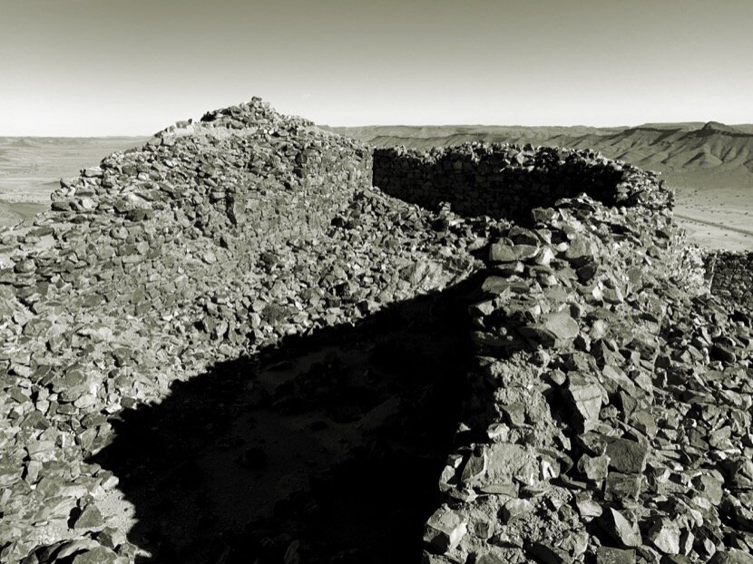
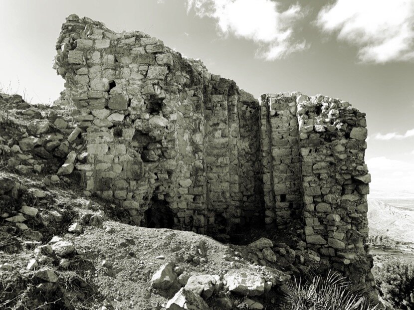
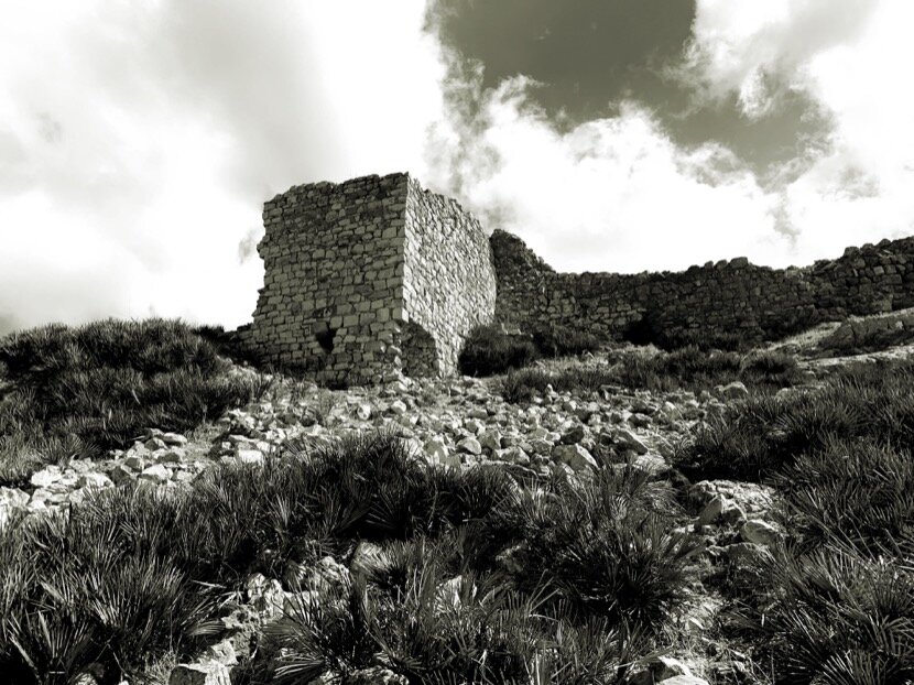
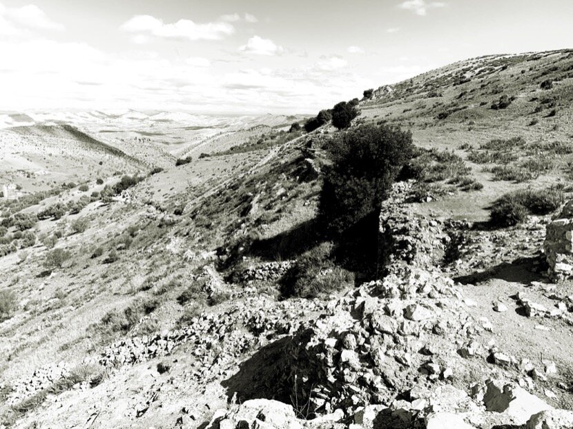
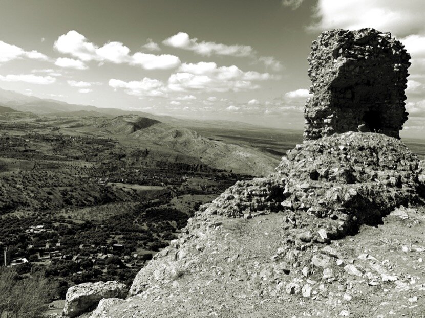
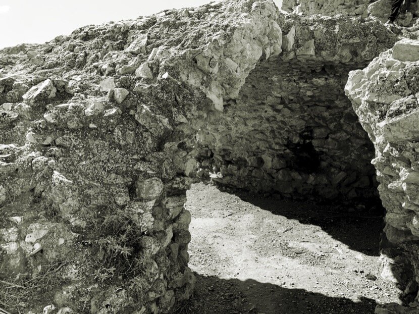
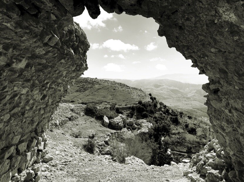
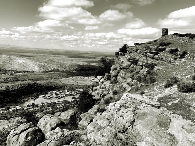
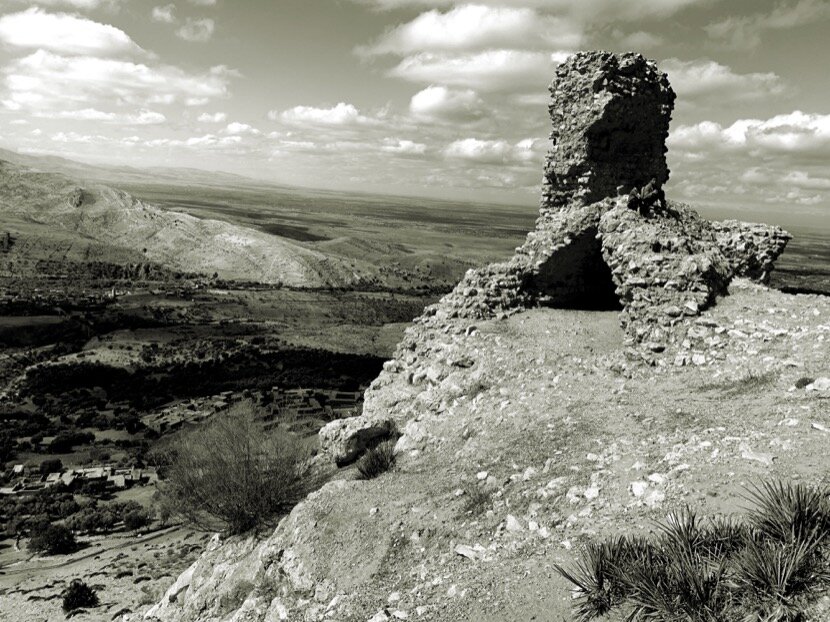
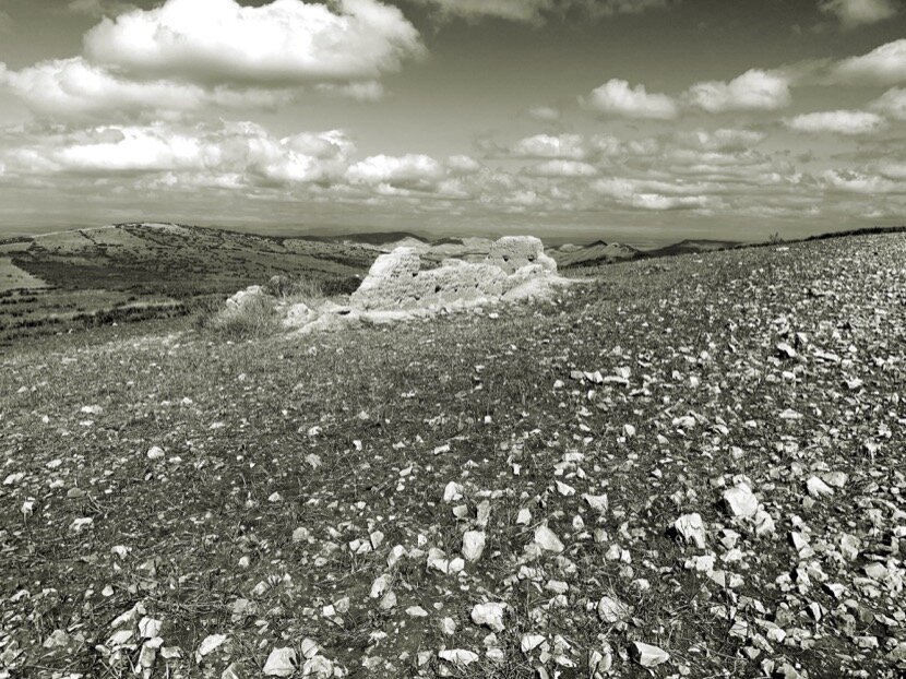
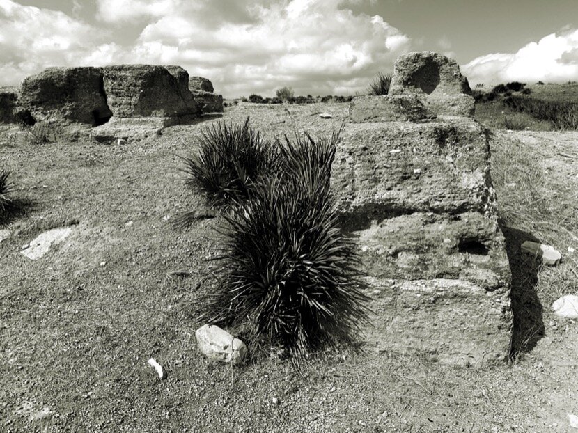
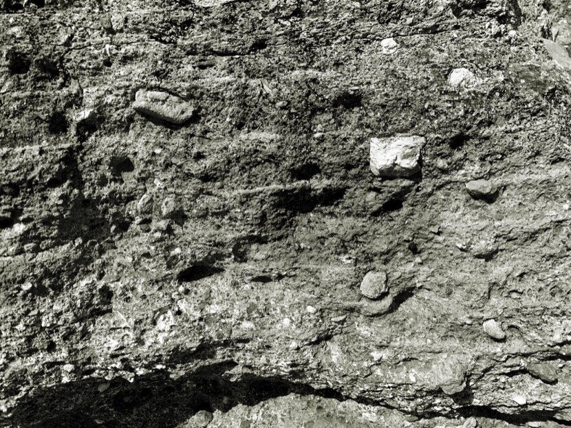
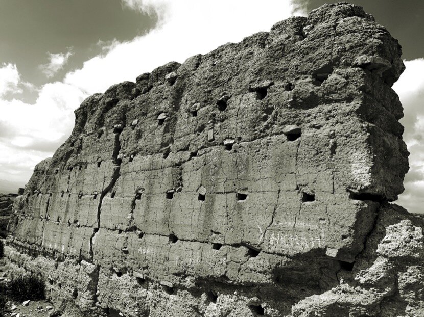
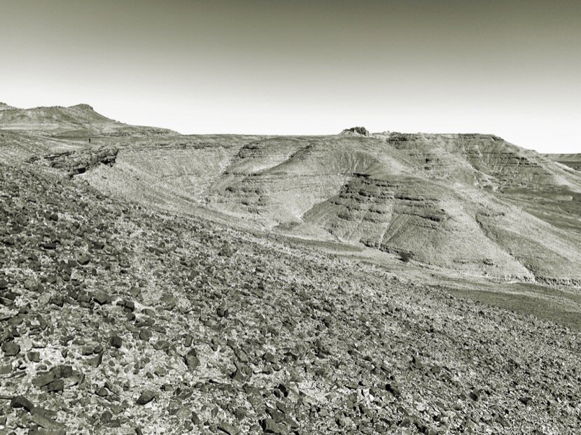
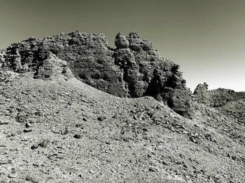
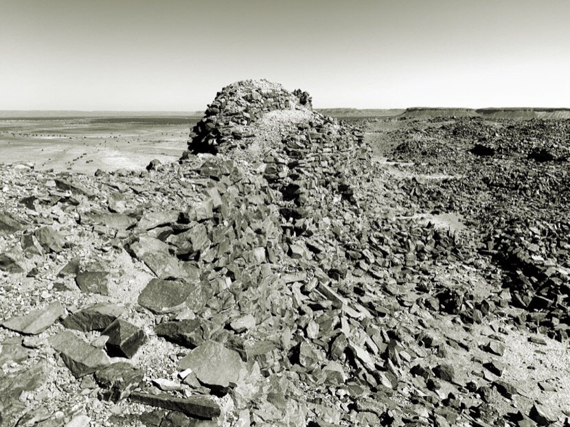
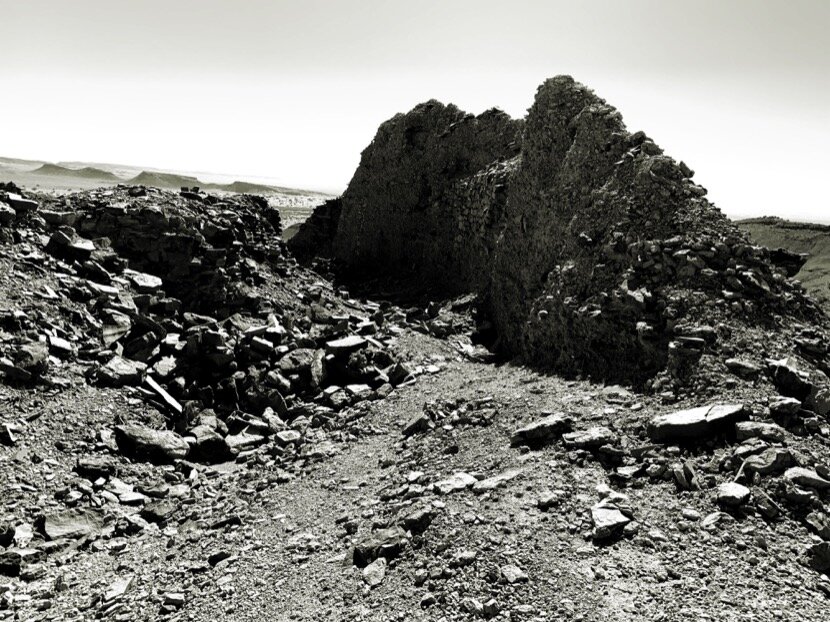
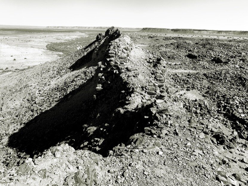
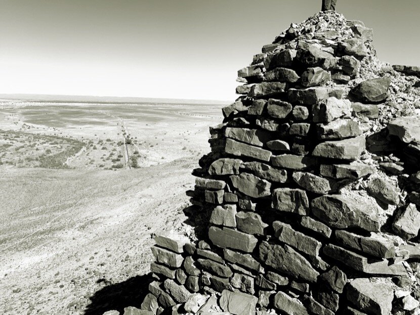
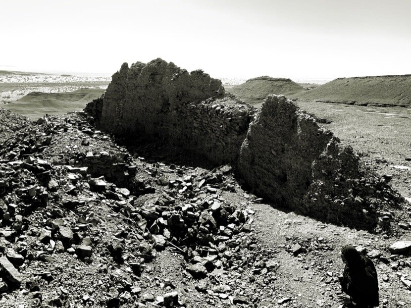
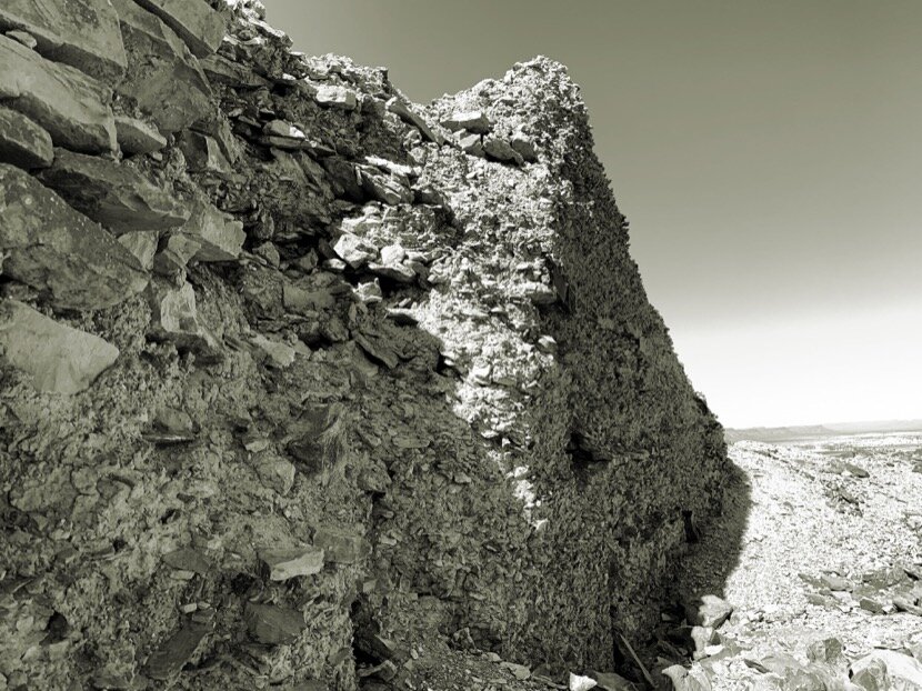
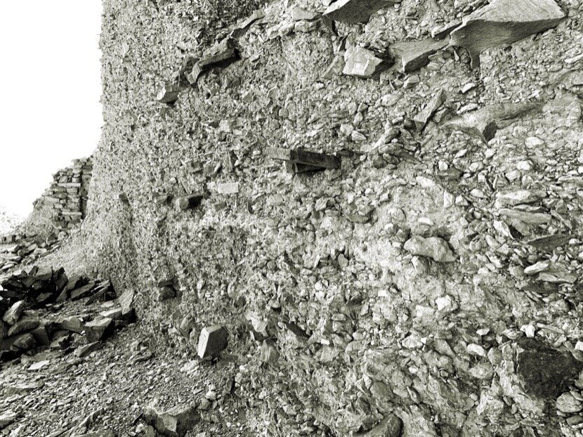
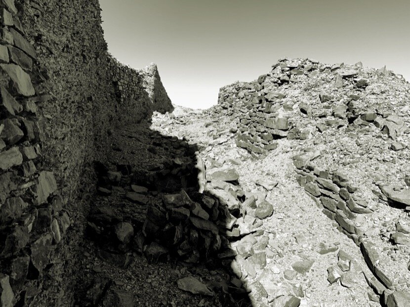
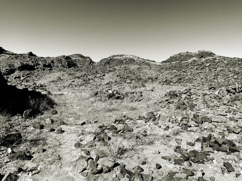
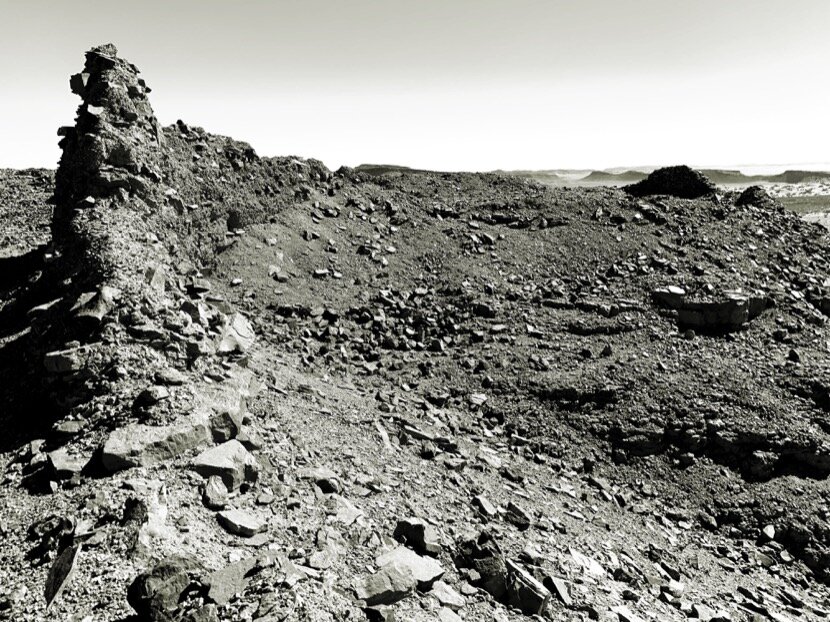
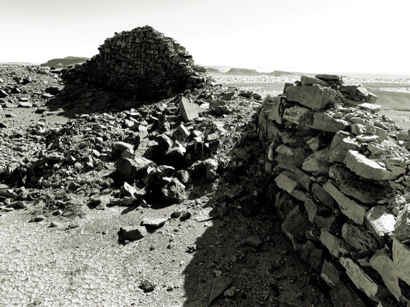
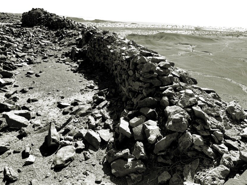
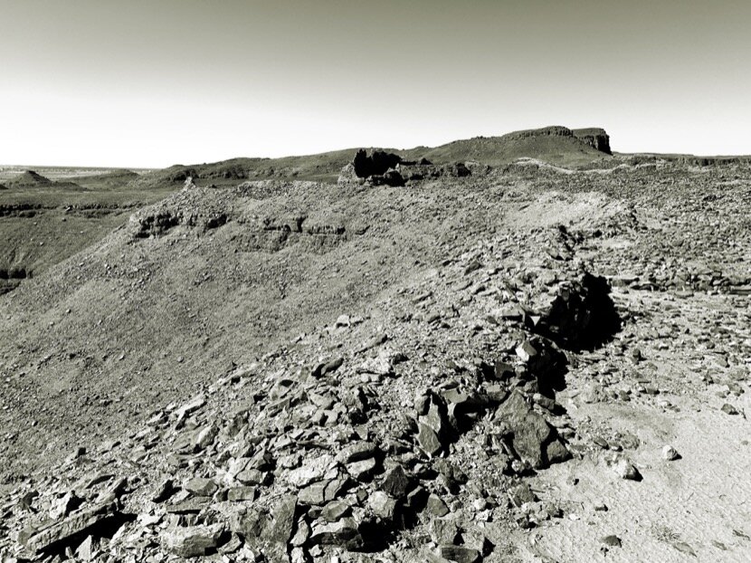
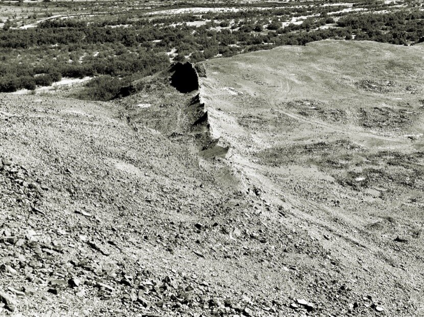
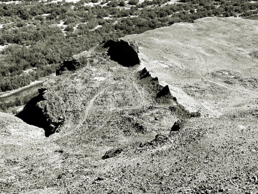
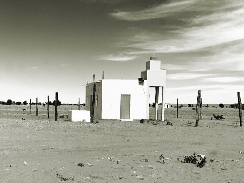
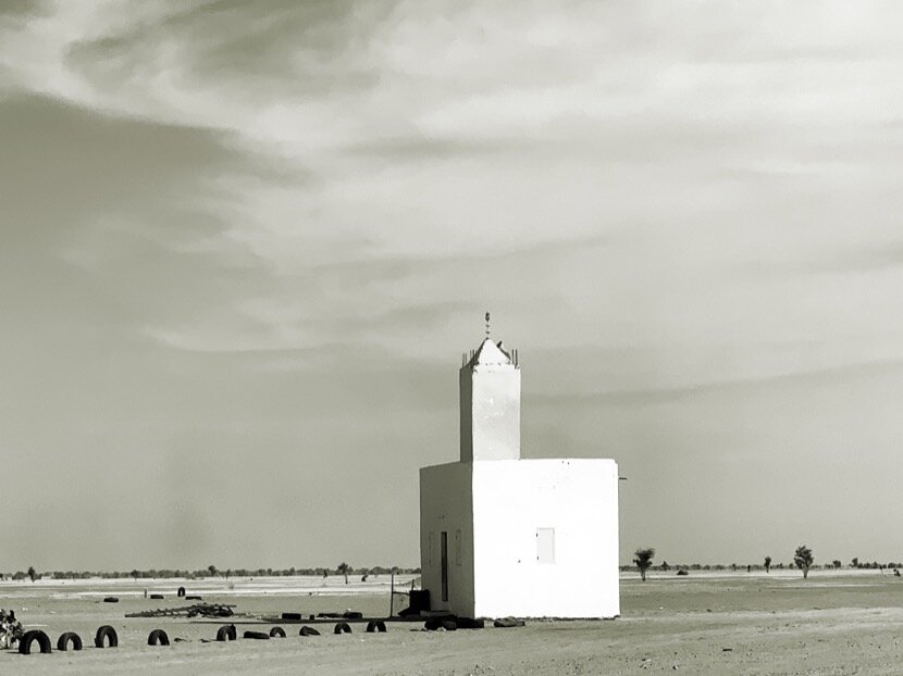
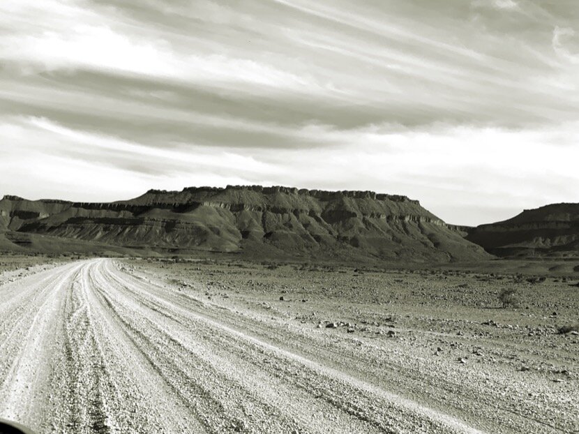
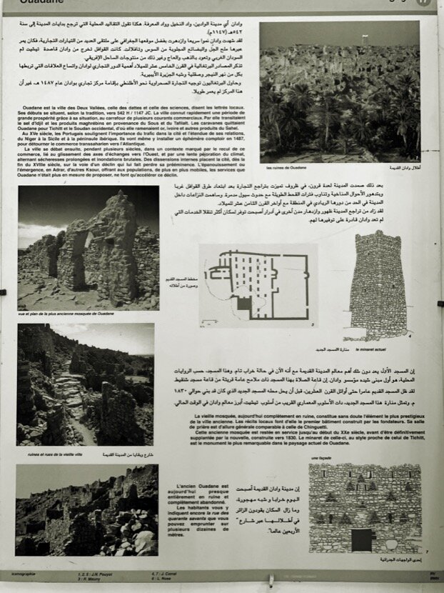
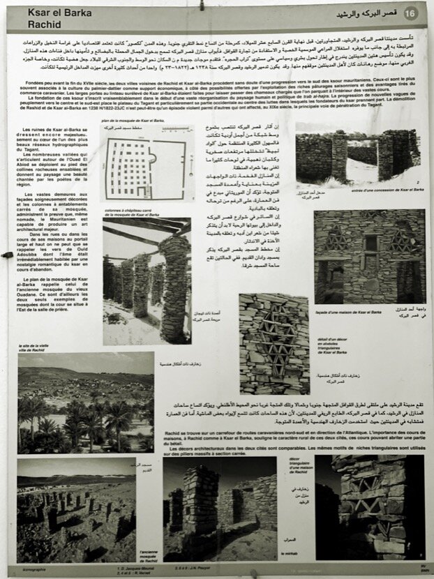
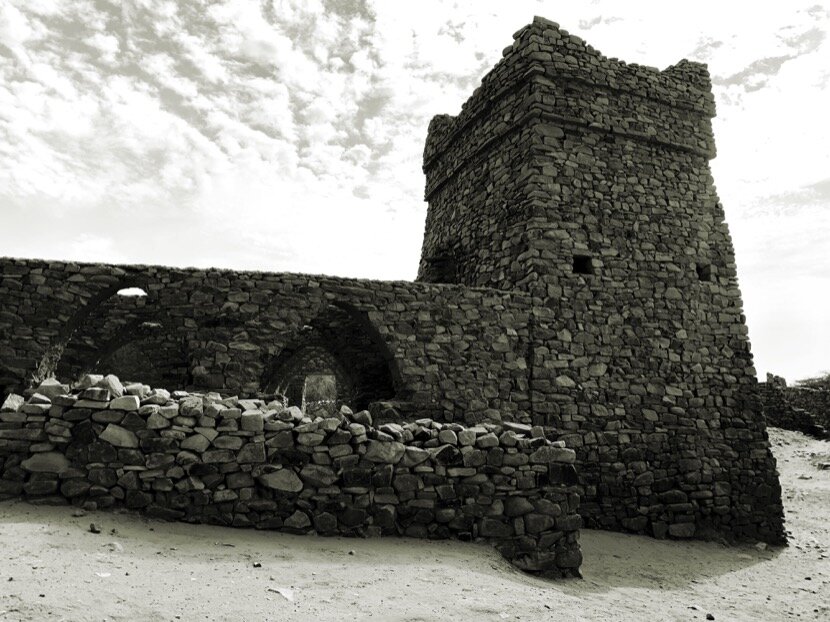
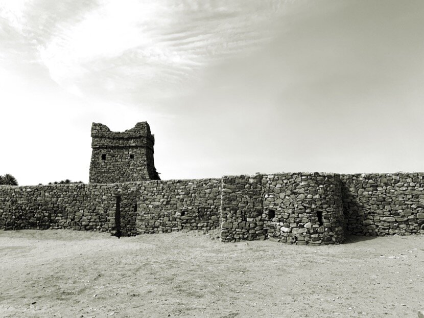
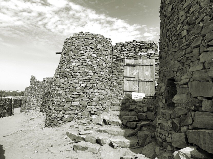
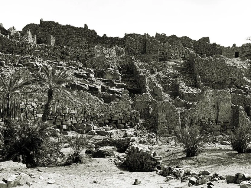
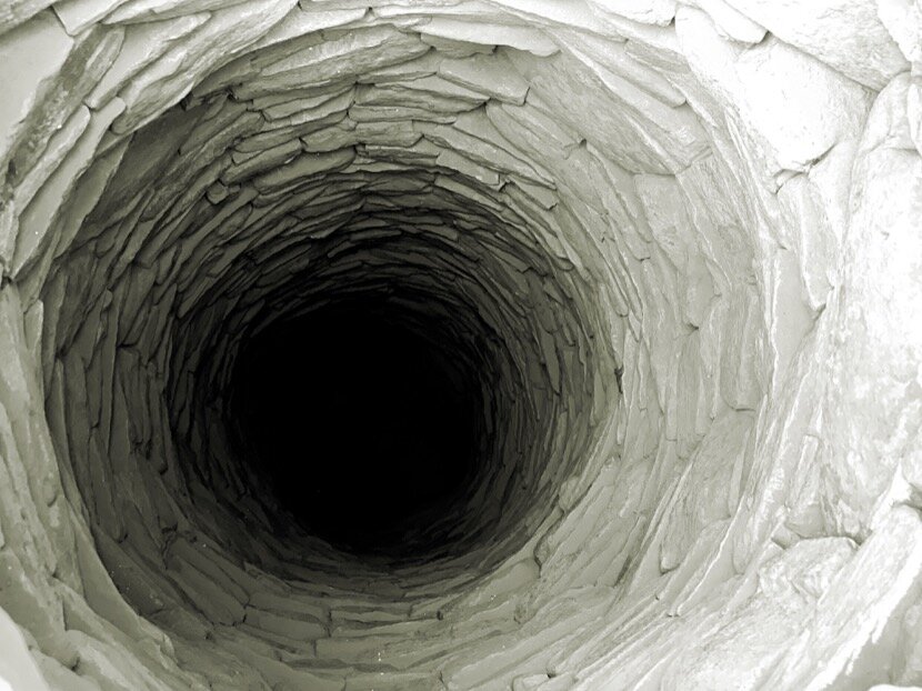
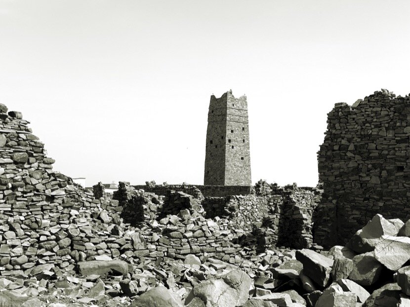
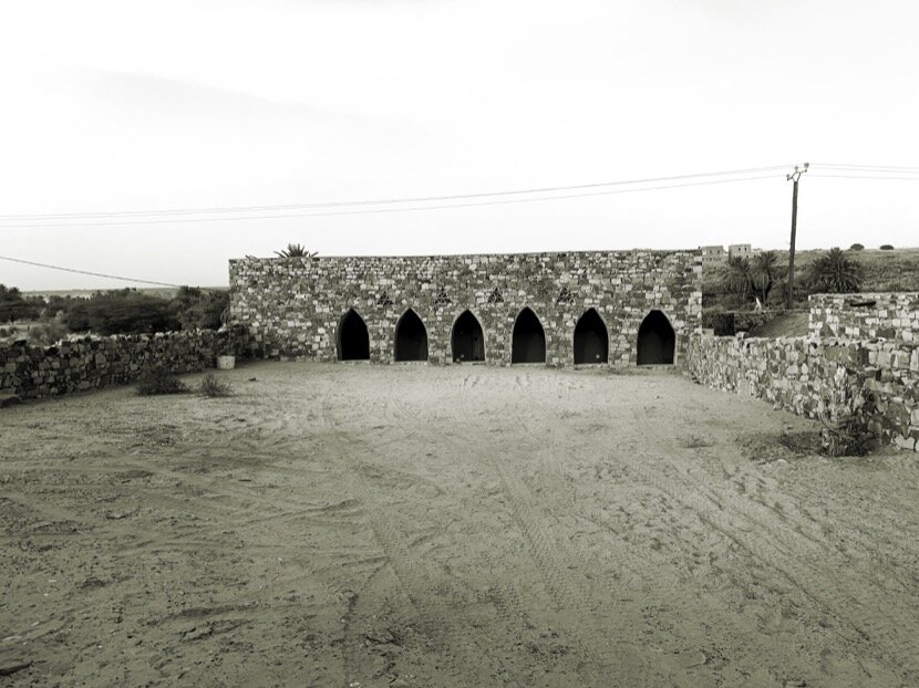
All the Almoravid fortifications in Morocco have two elements in common: they are built in stone and are located in a caravan passage. It was normal to want to go to the origins of this dynasty to try to understand its thinking, its construction methods and above all to compare these constructions with the city of Ouadane, which had been built entirely in stone. To understand the Moroccan Almoravid fortifications it was necessary to go to the Adrar region in Mauritania…
7. obûr
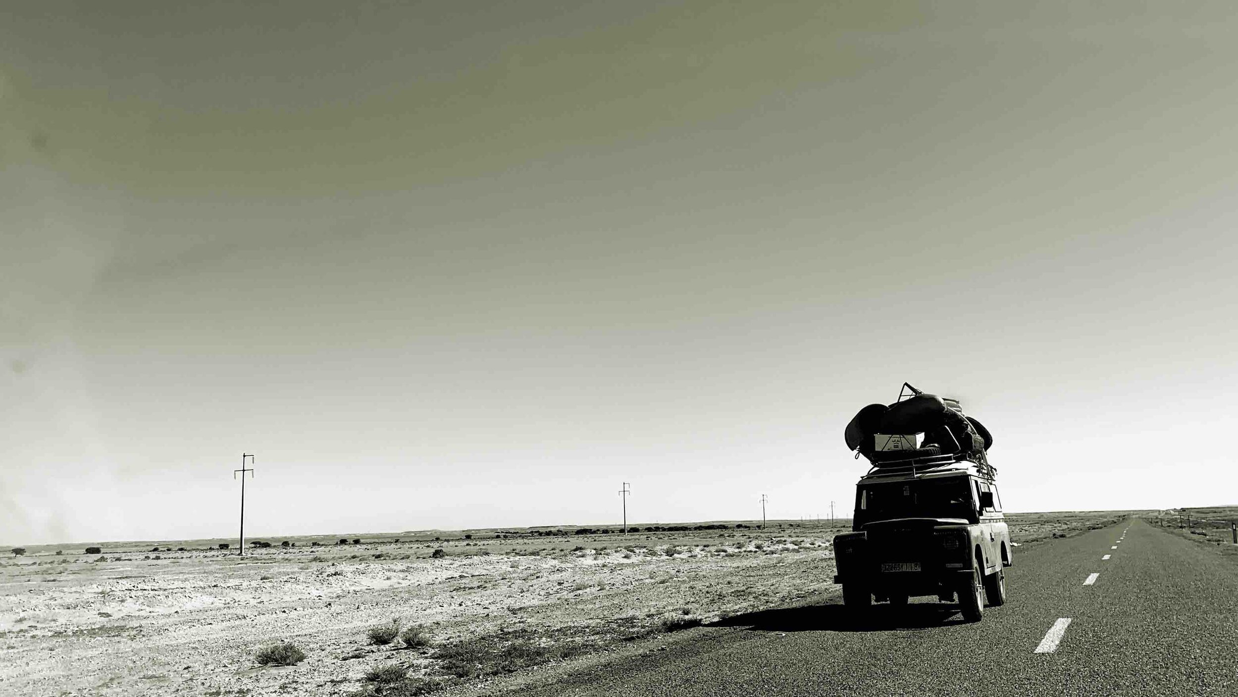
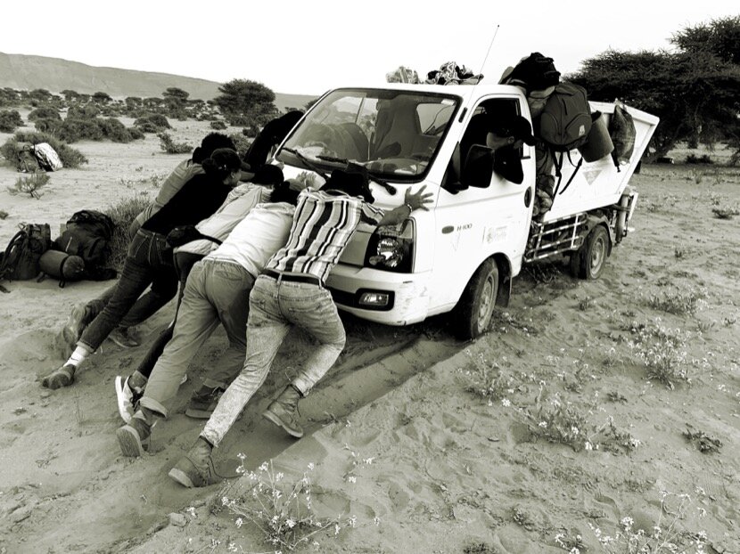
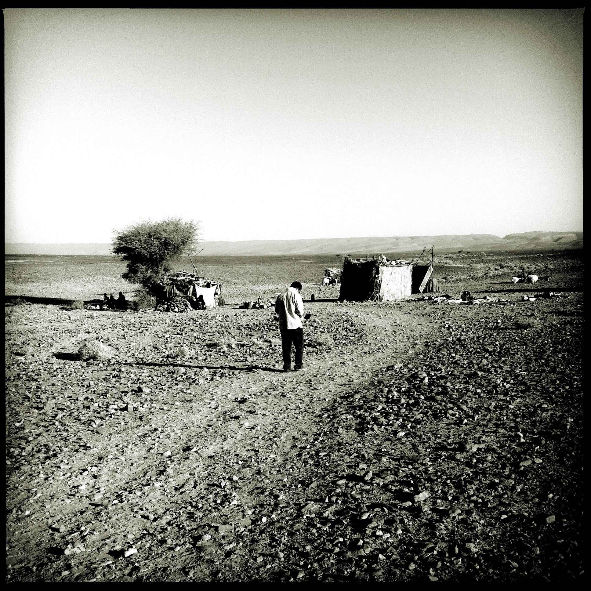
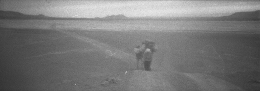
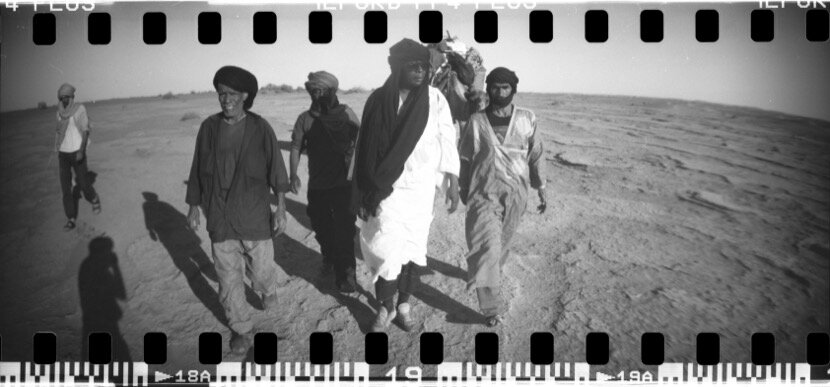
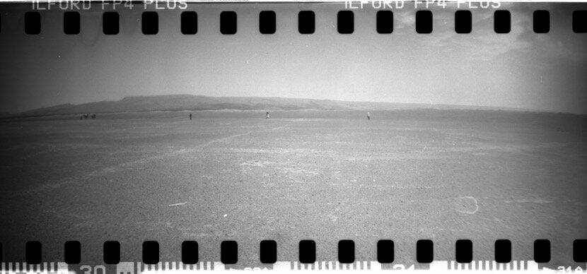
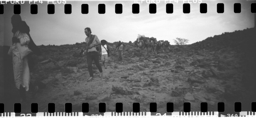
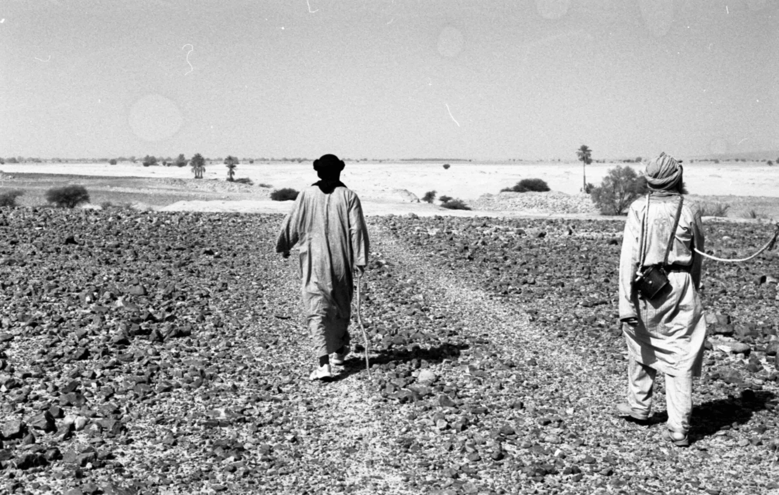
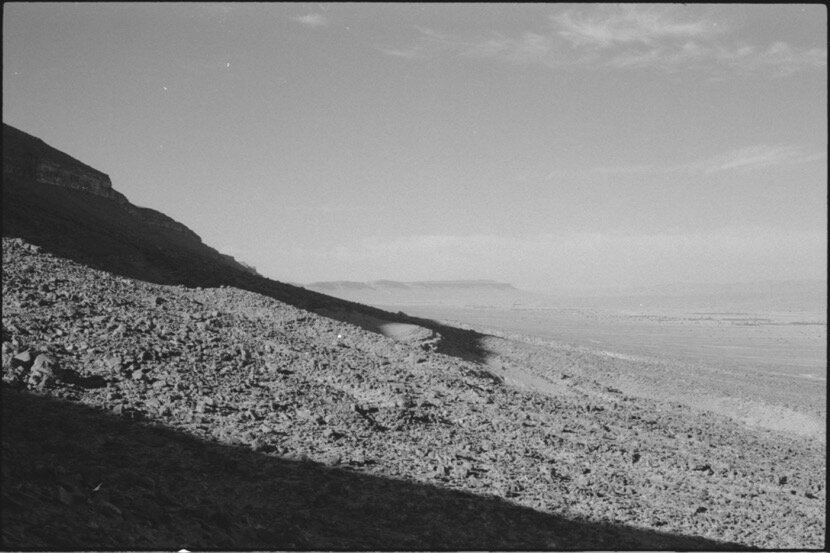
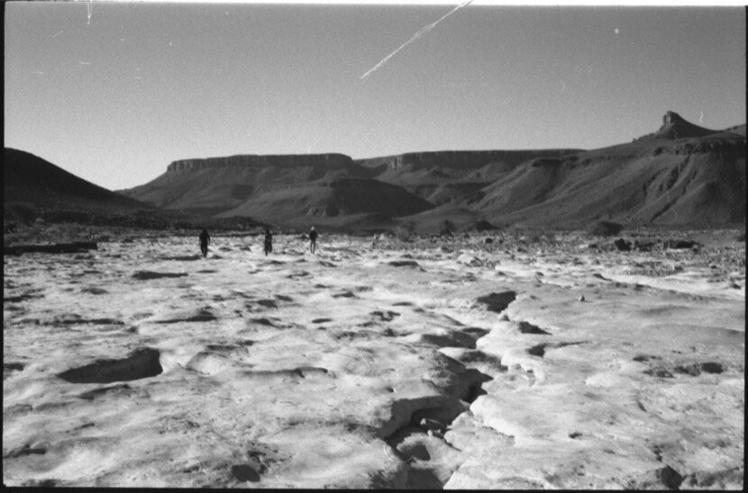
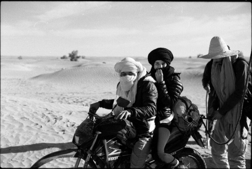
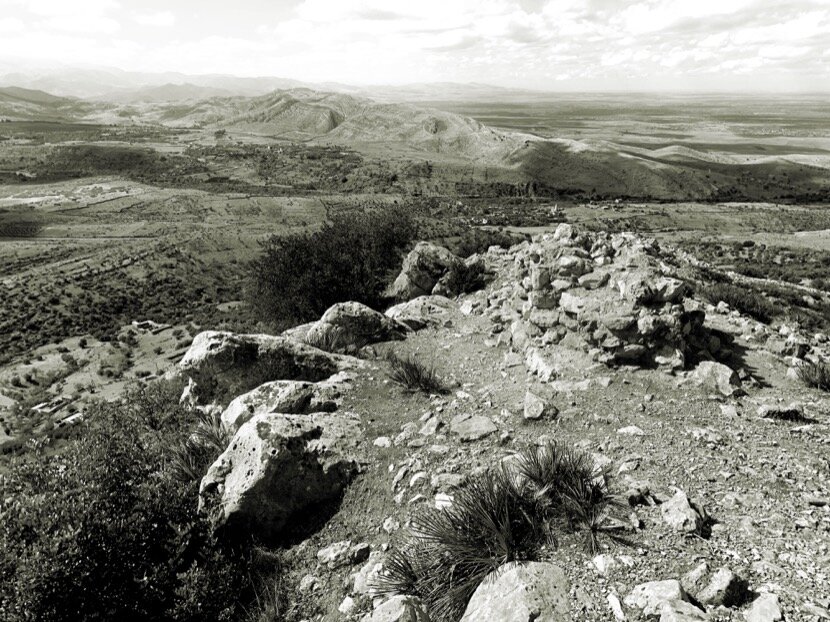
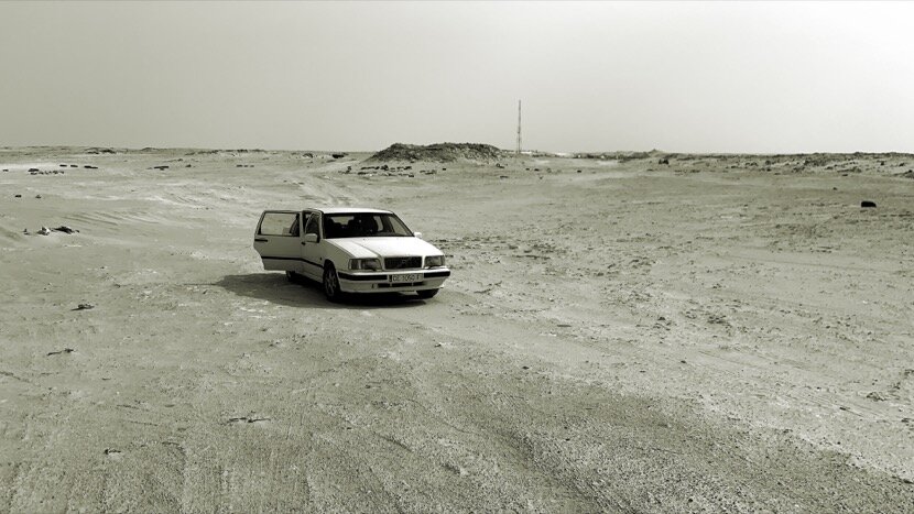
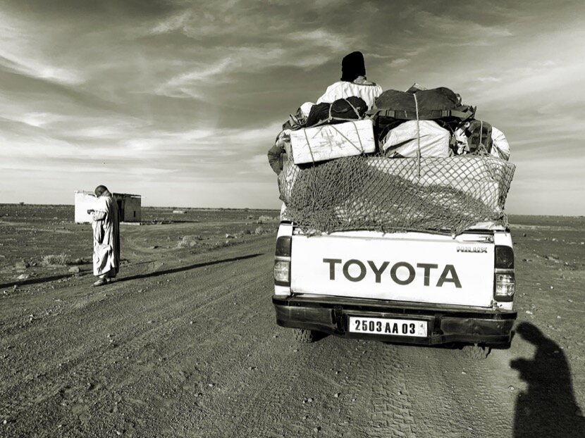
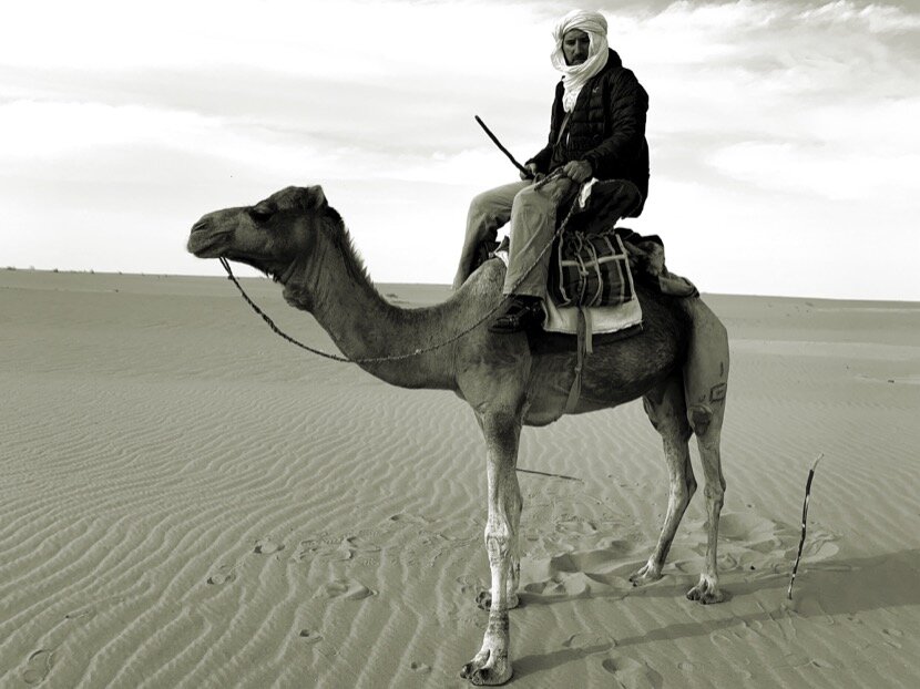
February 2010 was the beginning of countless encounters, discoveries and learnings that after my first trip to the desert would take me to the oases (with their fortresses and their tribes) and later to nomadic territories. To commemorate the tenth anniversary, I wanted to repeat the same route, Ceuta-Tighmert, but Mohamed Arejdal, "instigator" of the first trip, told me that we should not stay in the past and that we should look forward, going further, for example to Mauritania; purpose that gave rise to Obûr, a physical journey (by car) and in a certain way mental, crossing the desert, from the north shore to the south shore of the Sahara.
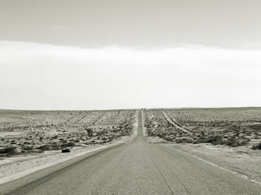

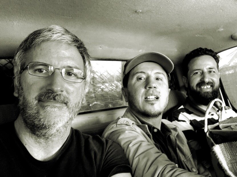
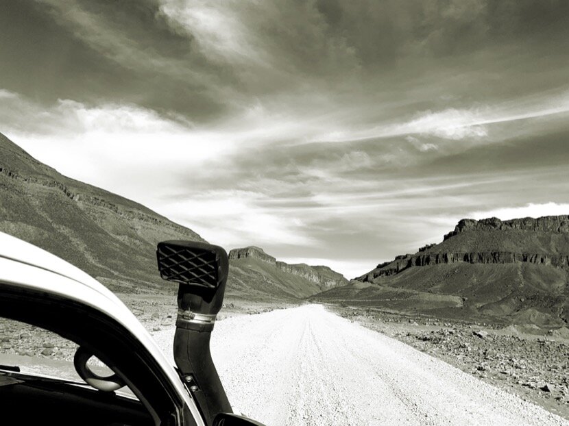
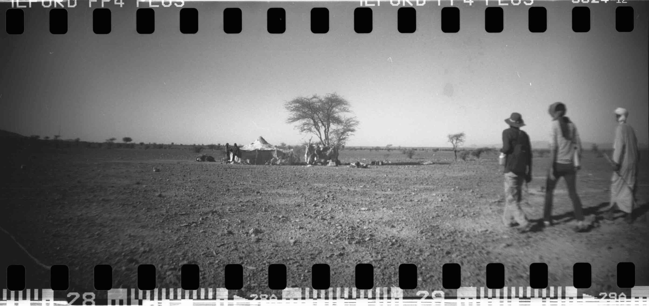
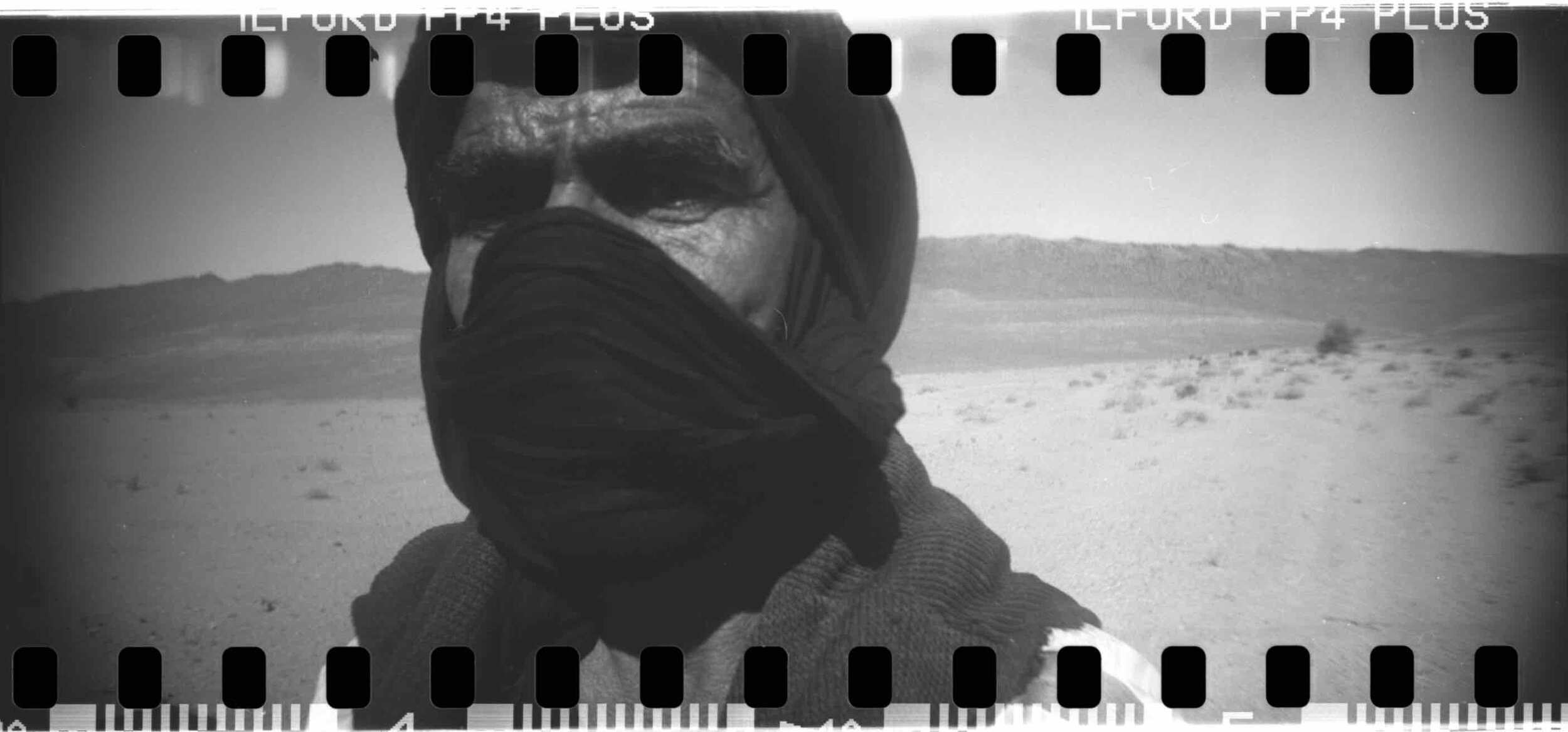
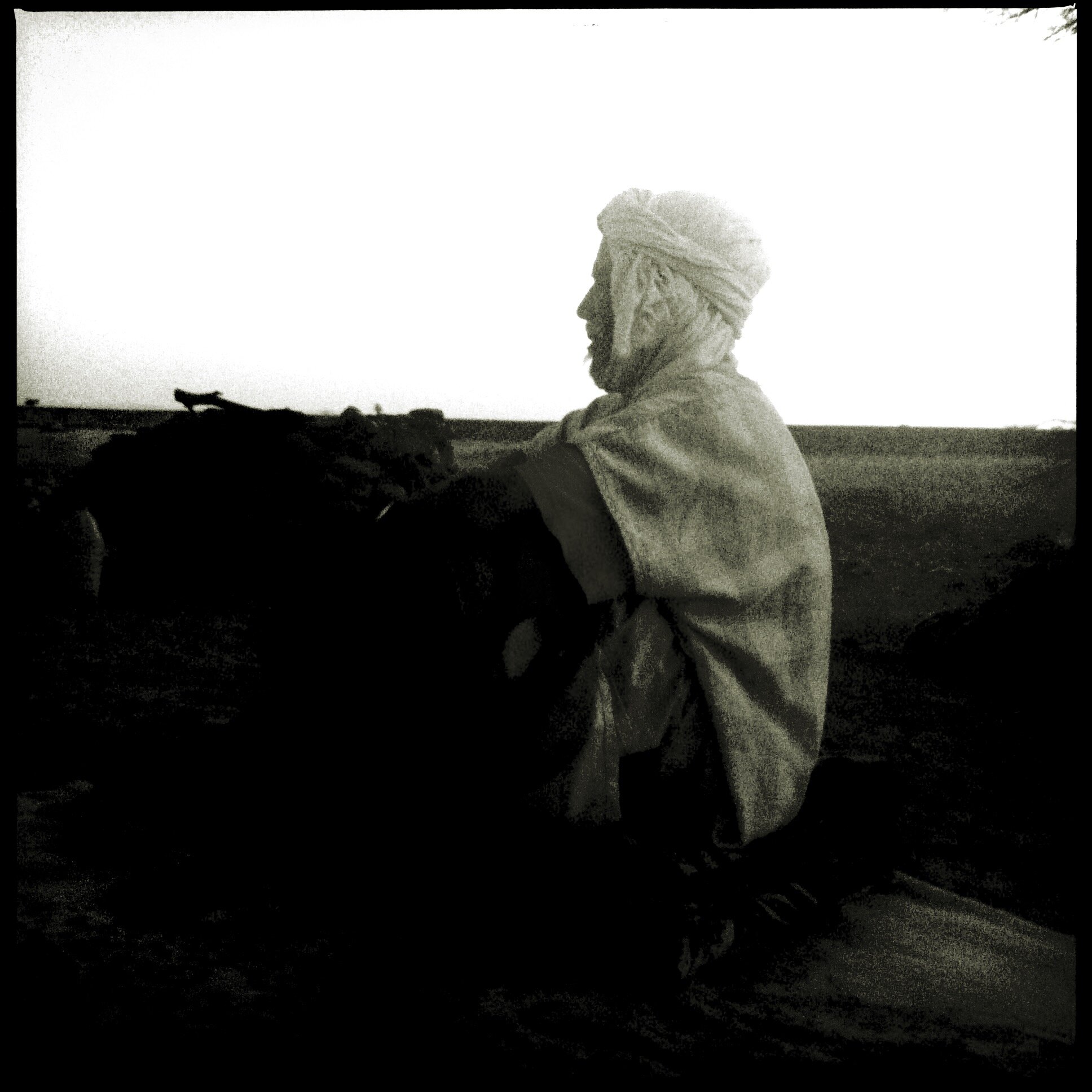
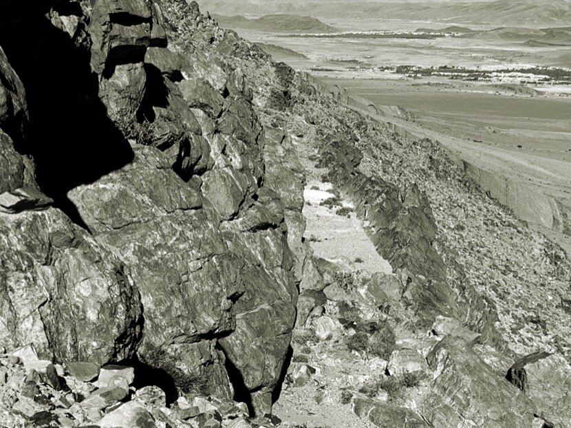
While studying the geography of the desert and while walking along the mountainous edge that precedes the Sahara in Morocco, in the framework of Project Qafila, I had always perceived this imaginary border (sometimes coinciding with the limits between Morocco and Algeria) as a cliff separating the known world, on top, from another world below where man could not control anything, remaining at the mercy of the desert, but the opportunity to visit the Dakhla-Oued ed-Dahab region several times allowed me to go through, in a certain way, both physical and psychic borders, where only nomads could live, as if they were a different human species. This time it was not just a matter of entering his territory but of crossing it completely, knowing that we were actually going to “go around” the Sahara and that we were not going to follow the caravan routes. It was also important to do this trip in the company of dear friends, such as Younès Rahmoun and Ahmed Dabah, who were also behind the first trip in 2010.
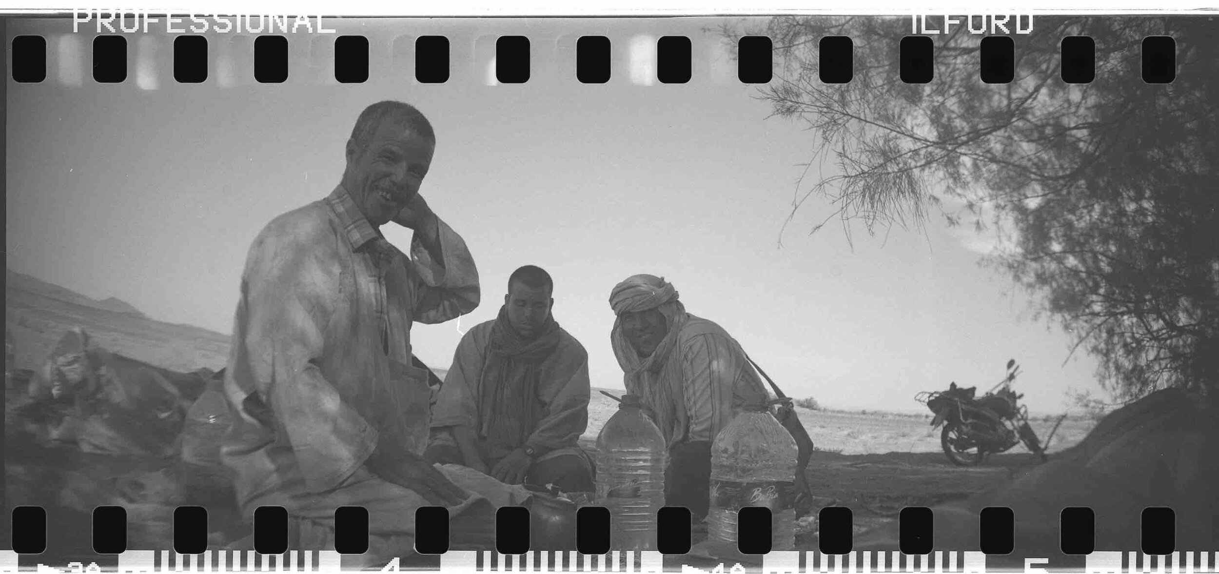
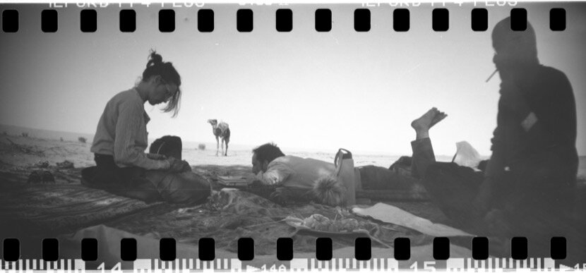
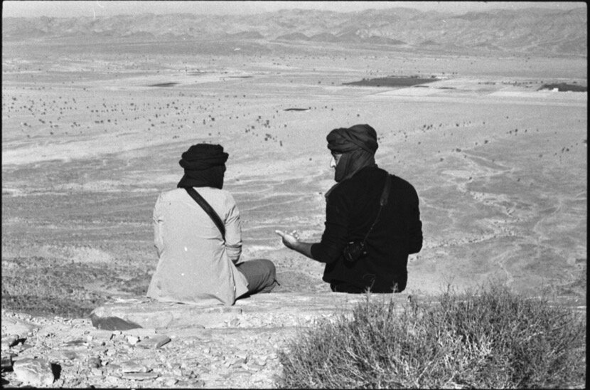
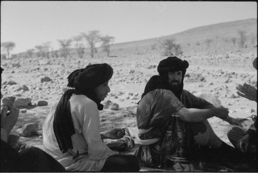
I had prepared for this trip by reading information about the history of the Adrar region because we were interested in better understanding a place that had been connected, through caravan networks, with Noul Lamta. The idea of seeing on the ground the links that the caravans had managed to establish between two places 1000 km apart, had been in my head since 2015, during my first Taragalte festival, where I was able to experience what a Saharan crossroads meant, although Mauritanians, Malians, Algerians and Nigerians would have arrived by plane, but listening to the same type of music, wearing the same clothes, and talking to people who have the feeling of belonging to a geographical space, helped me a lot to begin to understand the desert and what it could like a Saharan port, as was the case with Tighmert and Ouadane. In addition, the successive encounters with Mokhtar (a nomad from the Aarib tribe) where he told me in several interviews about his travels between Morocco, Mali and Mauritania, instilled in my brain the need to cross the desert, from one port to another, even if it was by car due to conflicts and border closures between the affected countries.
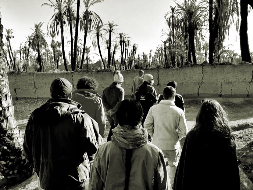
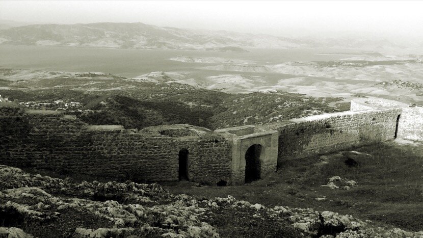
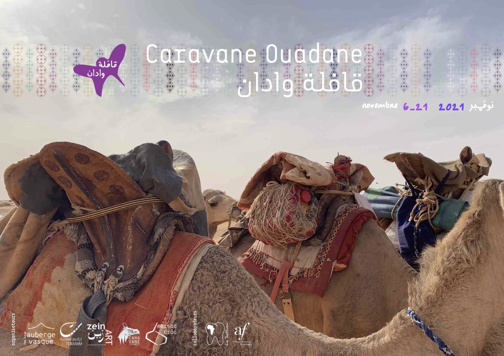
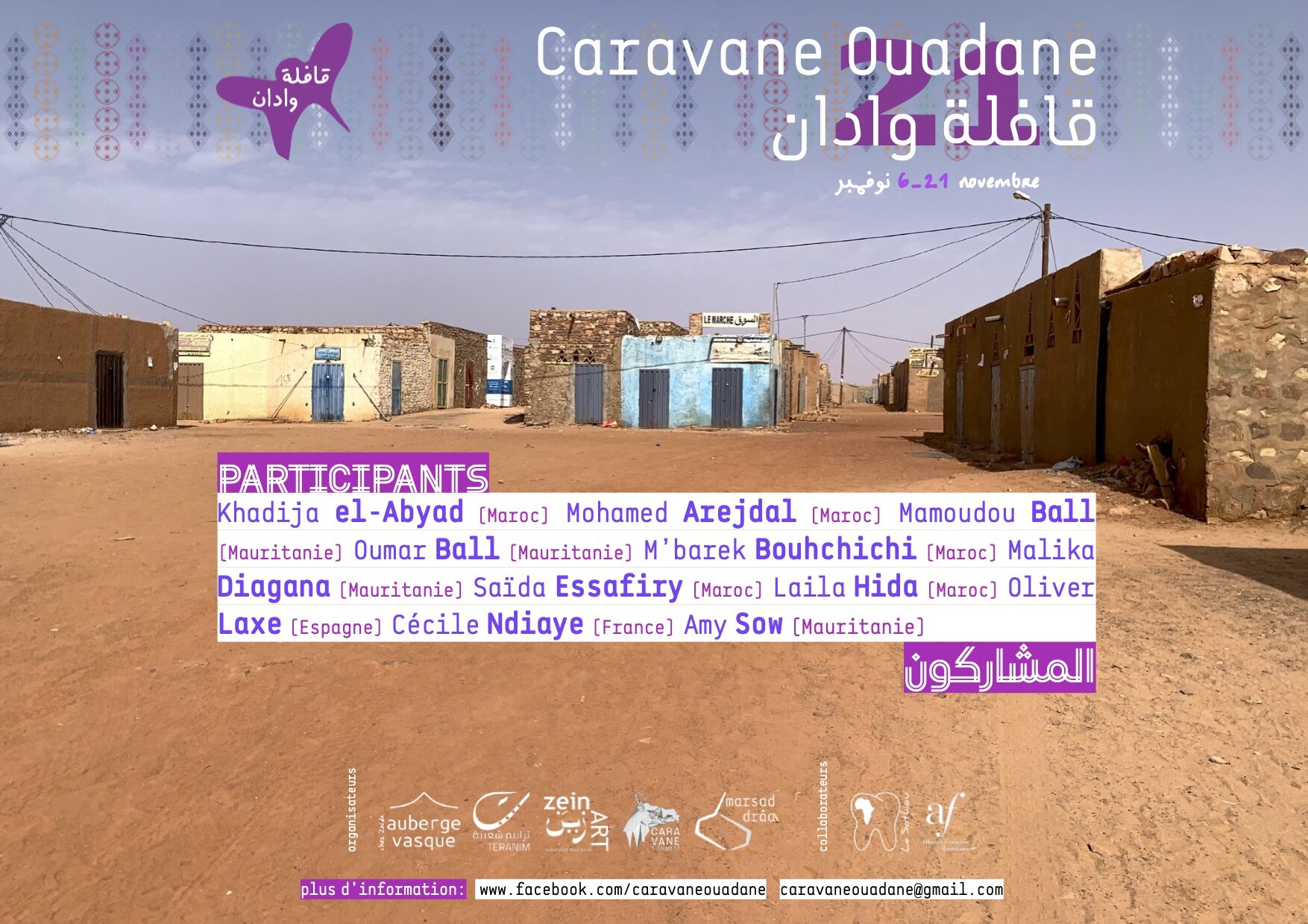
8. Caravane Ouadane
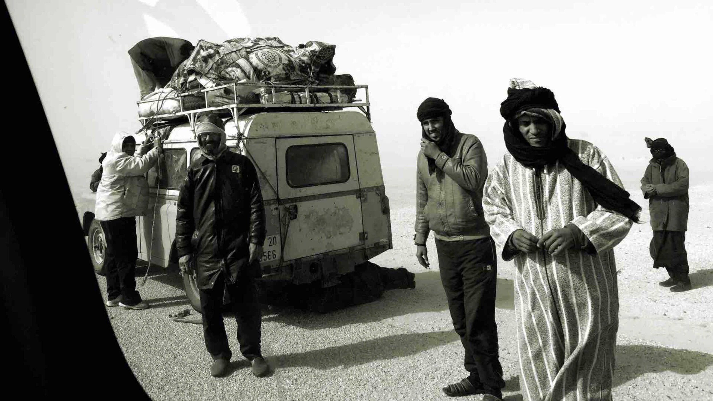
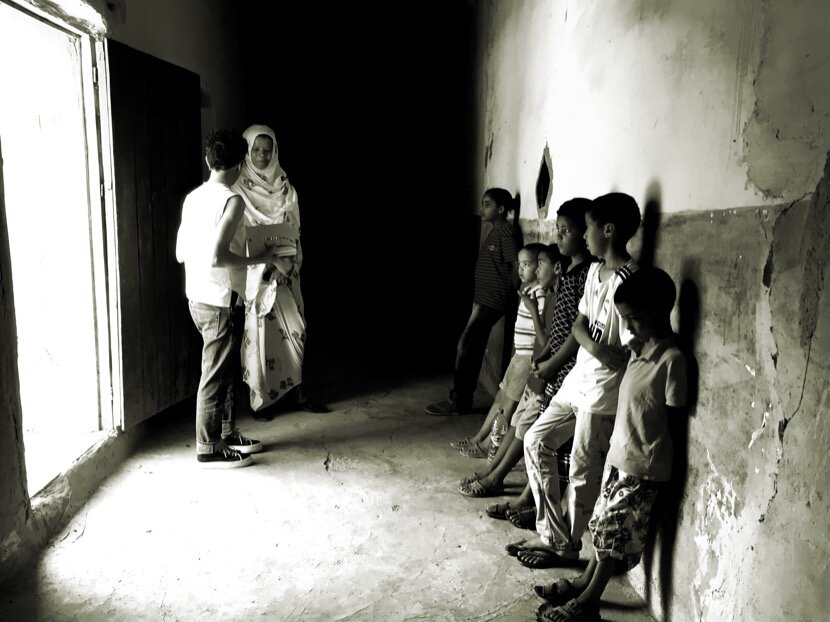
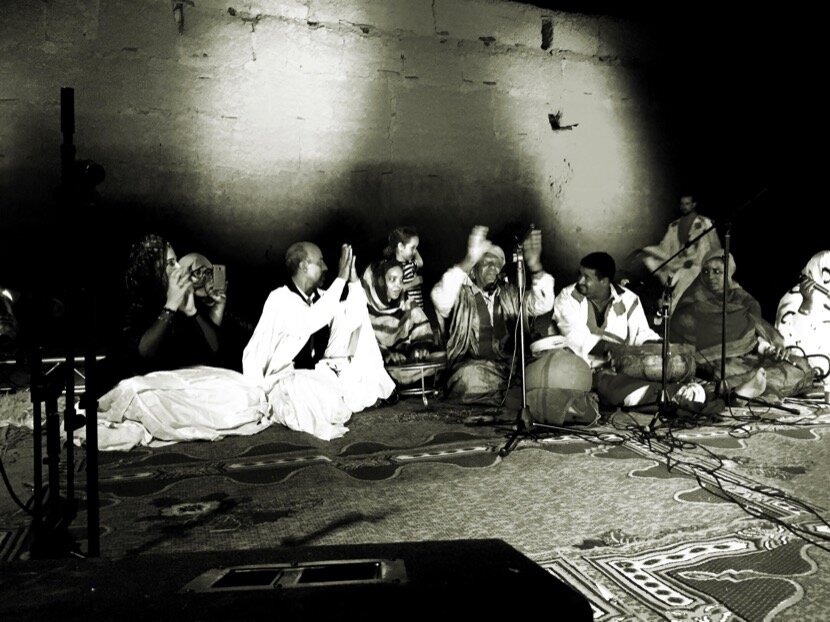
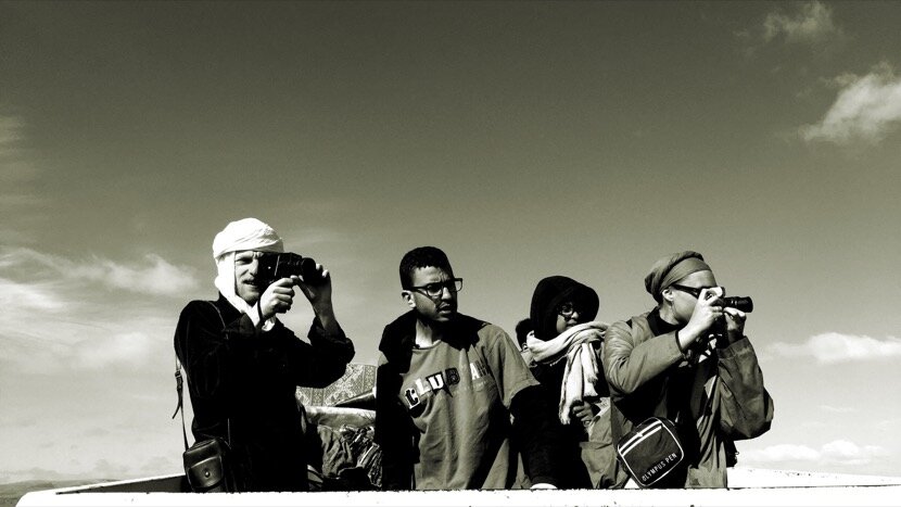
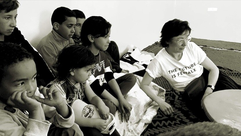
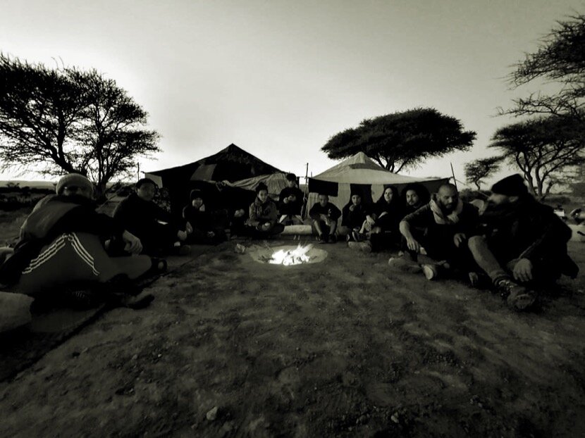
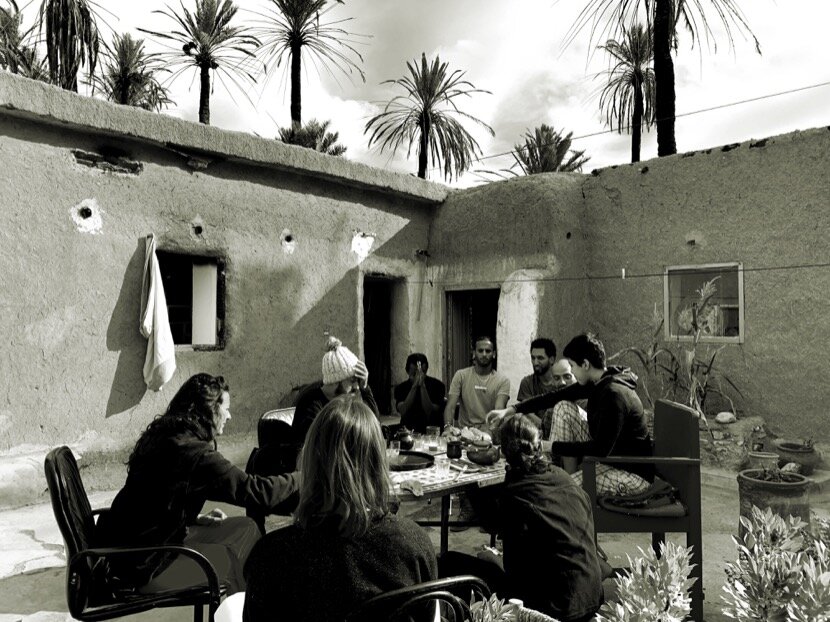
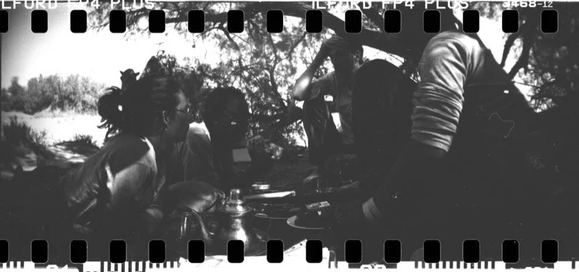
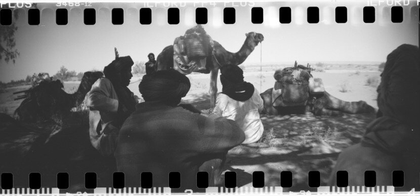
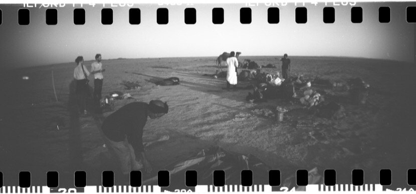
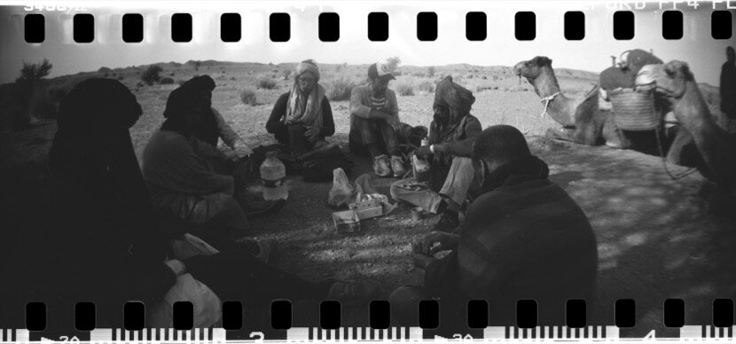
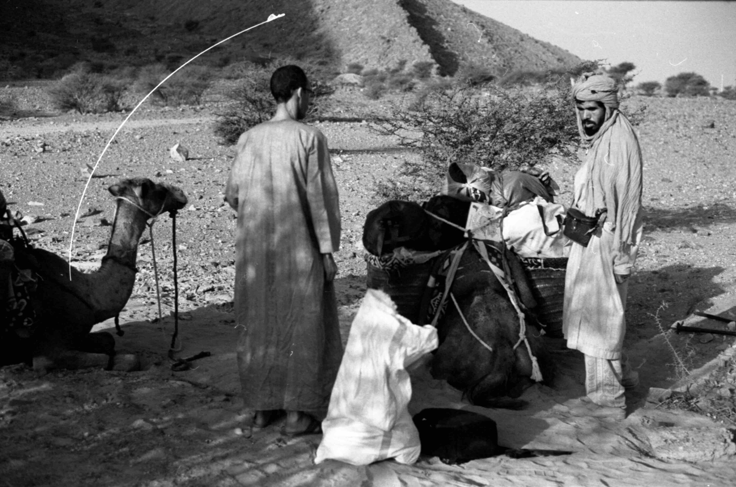
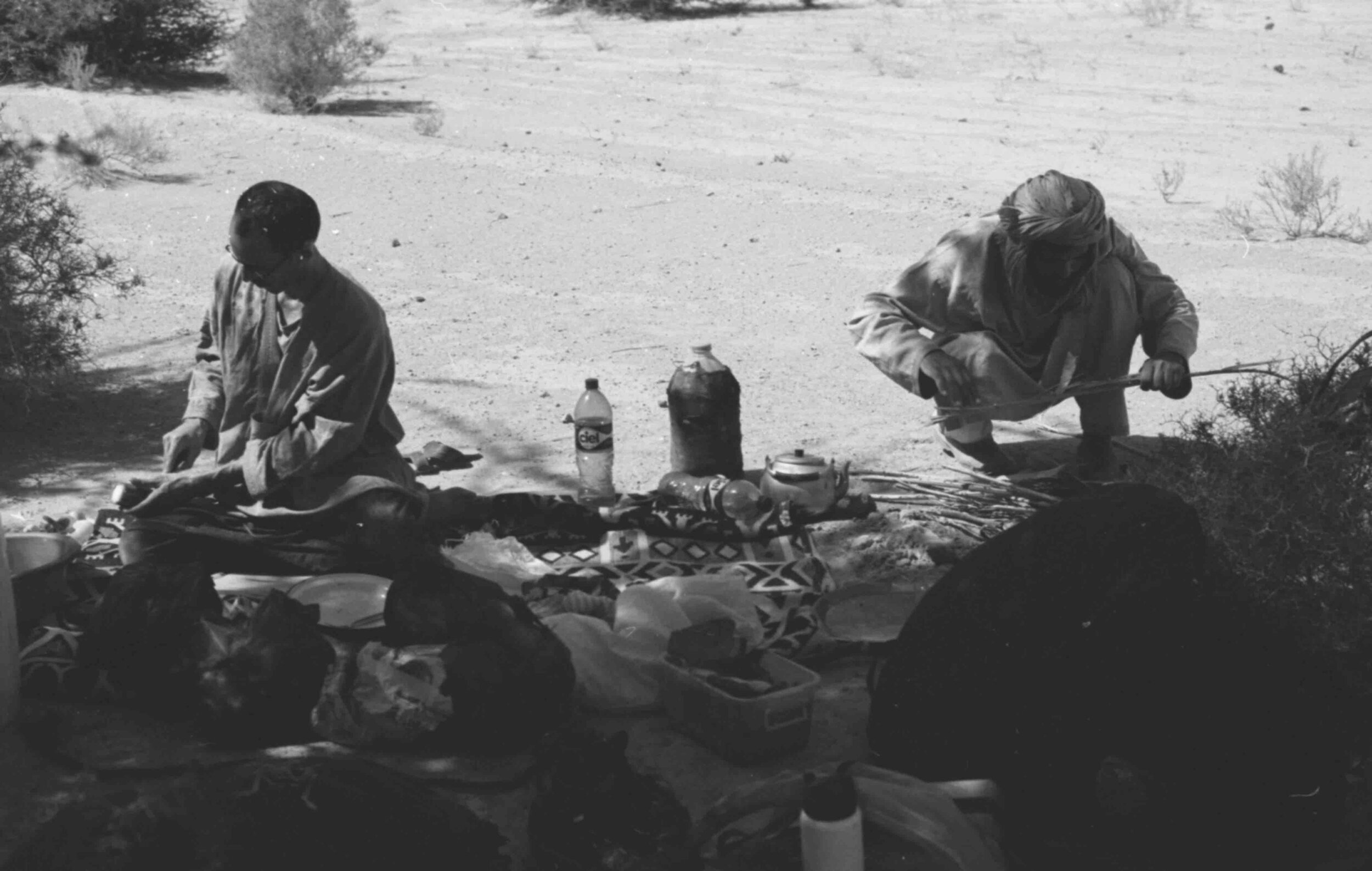
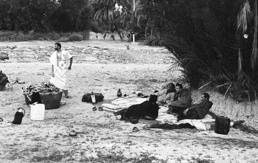
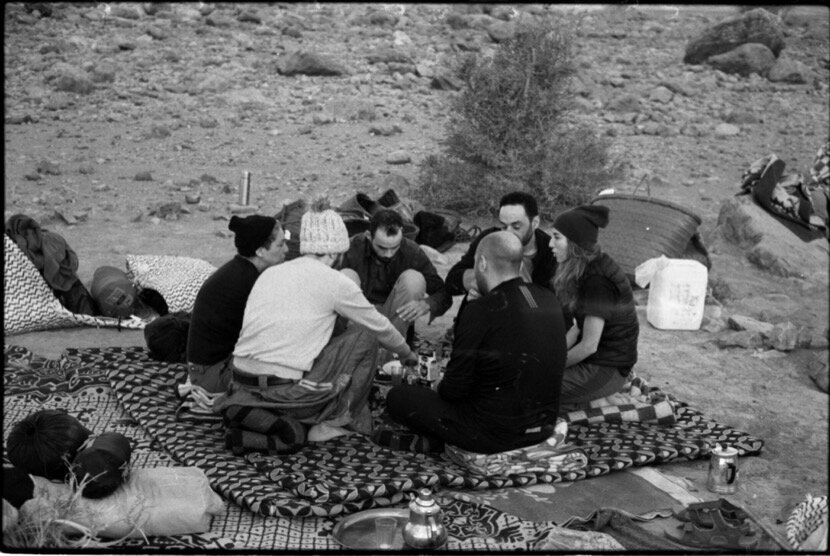
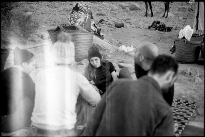
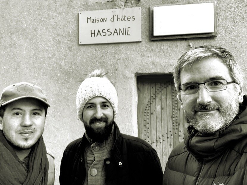
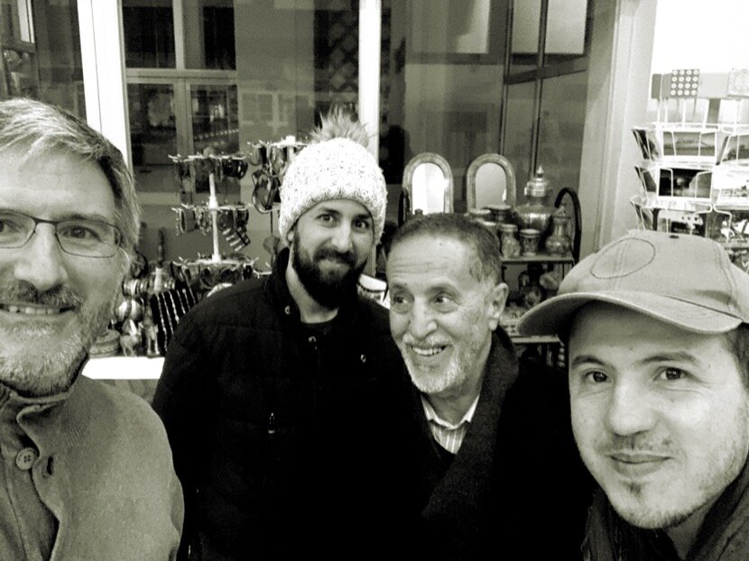
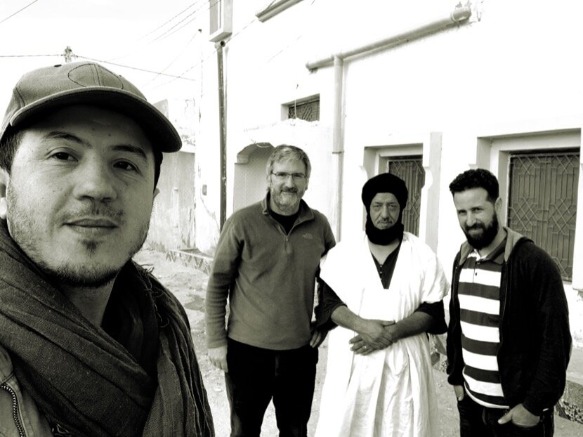
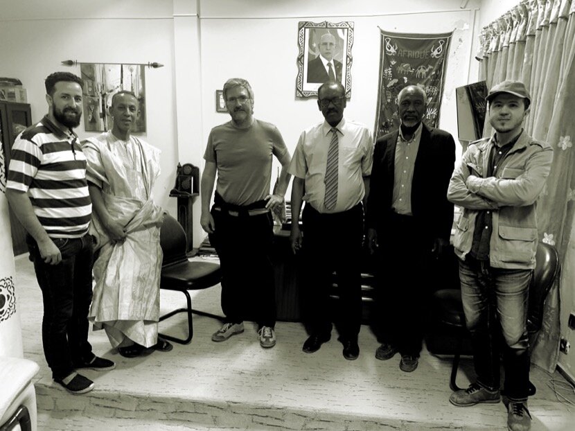
On January the 3rd 2020, I received a message from a Portuguese woman, Isabel Fiadeiro, who has an art gallery-culture center in Nouakchott (Zeinart). She had read information about Caravane Tighmert and wanted to know more about the festival organised by the descendants of the slaves in Tighmert, since she is part of an association, Teranim, which works precisely on the culture of the descendants of slaves in Mauritania and wanted to explore the possibilities of collaborating with them. A day later, we exchanged messages but about Caravan Tighmert because there is not much information about the Slave Festival on the Internet (an intimate event directed at themselves and without any intention of becoming a festival in the European style). After having seen the links from Teranim that Isabel had sent me, I was quite impressed watching the digital archive that they had created with songs and dances of Mauritania; There is no similar archive in Morocco (with the exception of the one made by Paul Bowles in the 50s), despite the wealth of dances they have. I thought it would be interesting to meet this woman and the director of Teranim, Mohamed Ali Bilal, during our trip to Mauritania, so on January the 13th I told Isabel that in a week I would be in Nouakchott with Younès Rahmoun and Ahmed Dabah, to commemorate the tenth anniversary of my first trip to the desert (Obûr). She was very surprised and quickly began to advise us on what to do and where to go in Mauritania, especially in the Adrar region which was our priority, as we wanted to visit Chinguetti as it is the most famous place in the cradle region of the Almoravid dynasty. After explaining who the two friends who came with me were, he circulated the information among his friends and contacts and the day before I left Ceuta he offered us to organise a meeting in the garden of her center, with researchers, artists, architects, journalists and cultural activists. It was a very enriching meeting and we felt a bit overwhelmed by the welcome, by their interest in what we were doing at Tighmert and by the amount of common themes we had.
In addition to Isabel Fiadeiro, we were able to enjoy the welcome of the Azouafit tribe. Three days before our arrival in Nouakchott, when passing through Guelmim to pick up Ahmed from his oasis, he set out with the chief of his tribe to look for some Azouafit who lived in Nouakchott and who could host us for three nights. It took 20 minutes to find one and finally we stayed at Lahcen Bailal place, who took advantage of our stay to introduce us to other members of the tribe and thus discuss a multitude of issues associated with the tribe, Morocco, Mauritania, the desert... During those meetings and encounters I realised how important tribal identity still has today in southern Morocco and Mauritania. With this welcome, it was normal to want to return in the near future, without even having seen hardly anything of the country.


During our visit to the National Museum of Mauritania, its director showed us the importance of looking at the Sahara from the southern shore and how his country was a place of exchange and diversity between the Maghreb and Sub-Saharan Africa, thanks in particular to nomadic tribes and caravans. These last comments were the confirmation of everything that I had read, heard and experienced during my investigations in southern Morocco. After returning to Ceuta, I found this publication from the 30s that reinforced this idea of the director, a compilation of oral stories about the history of Mauritania according to the tradition of each tribe.
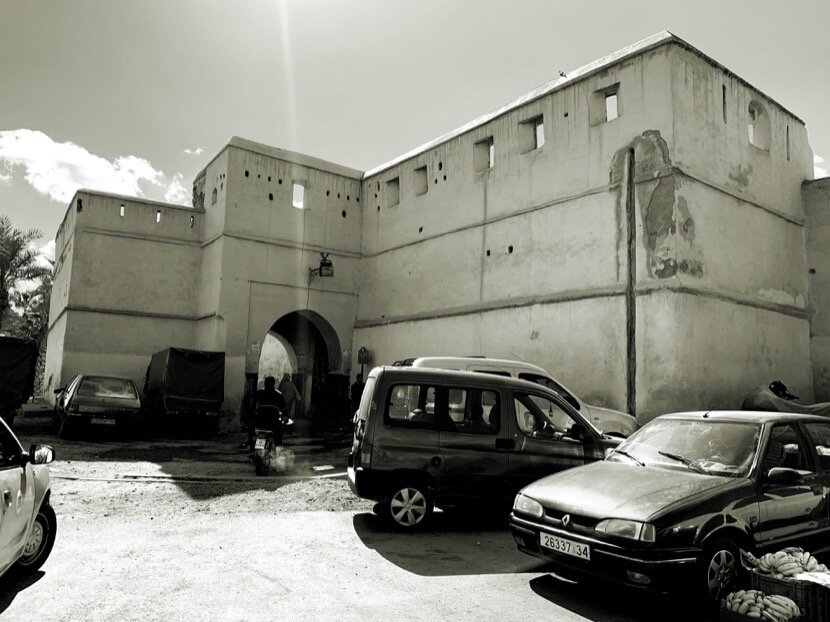
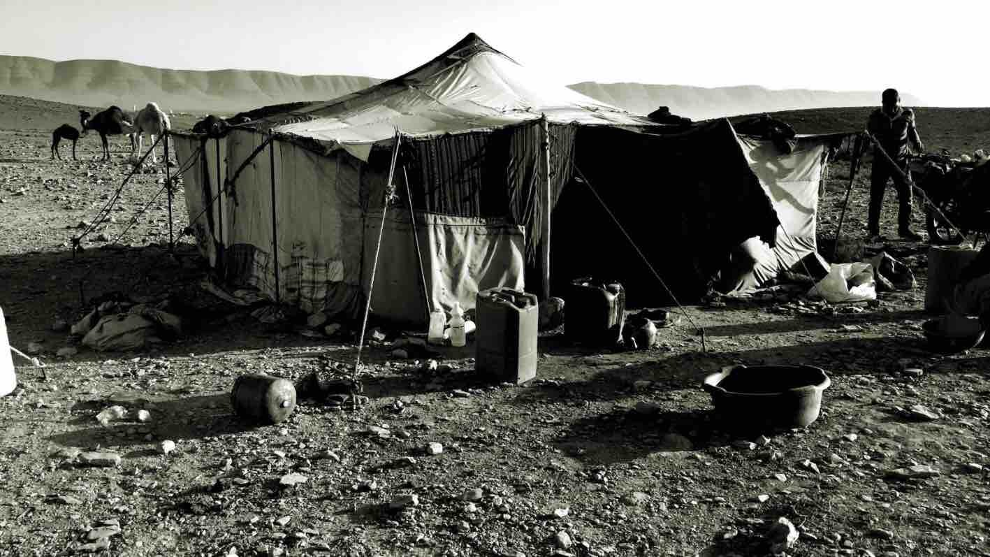
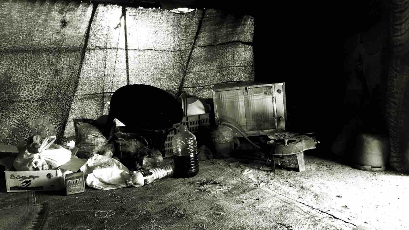
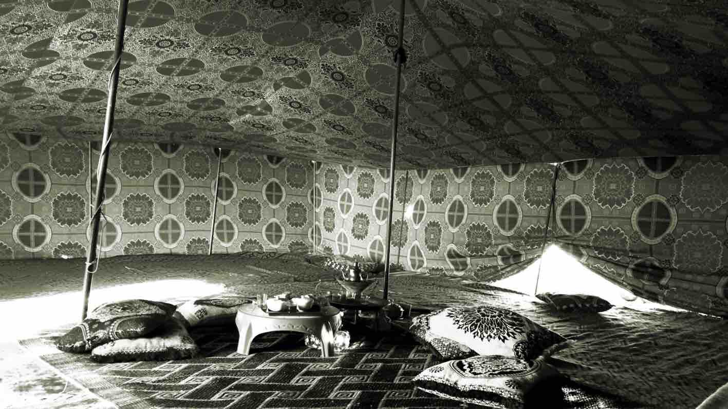
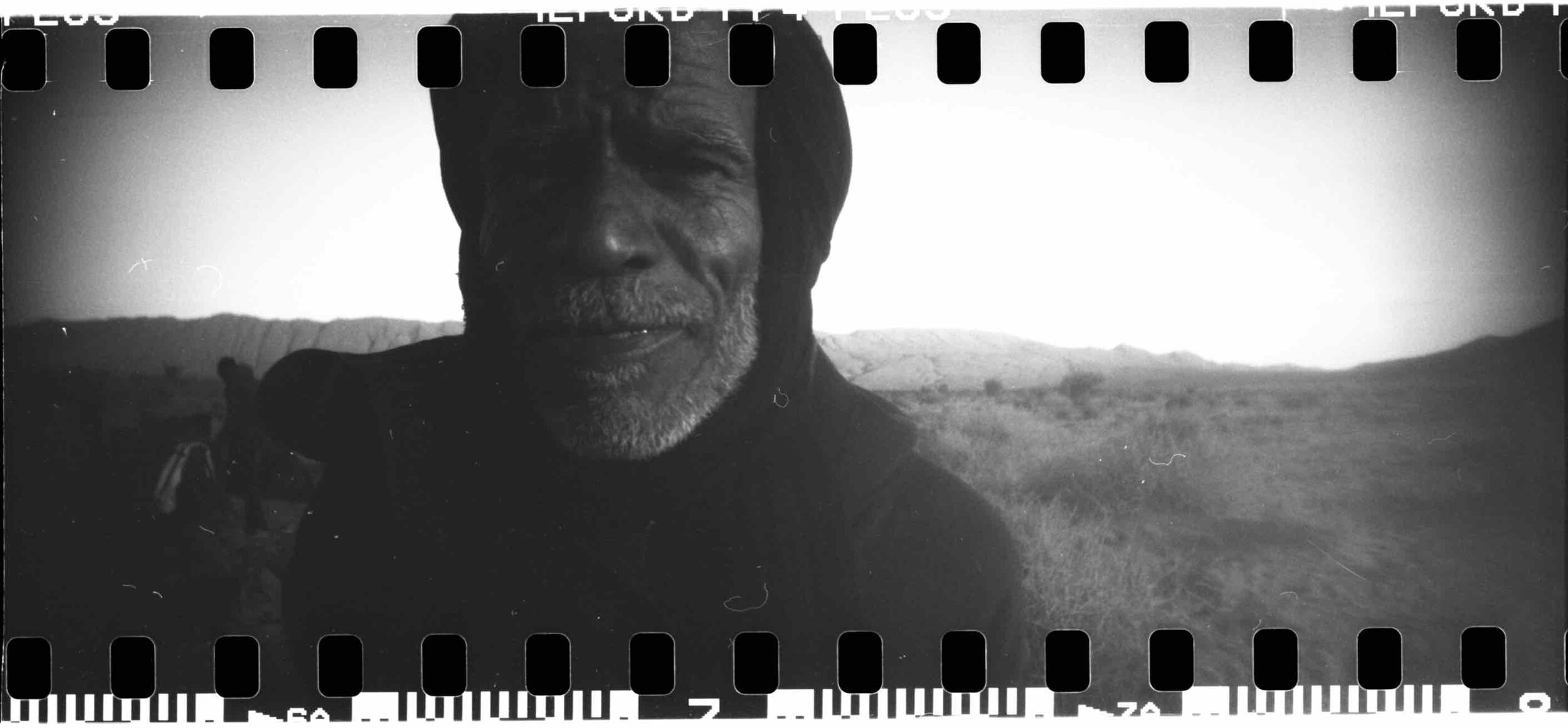
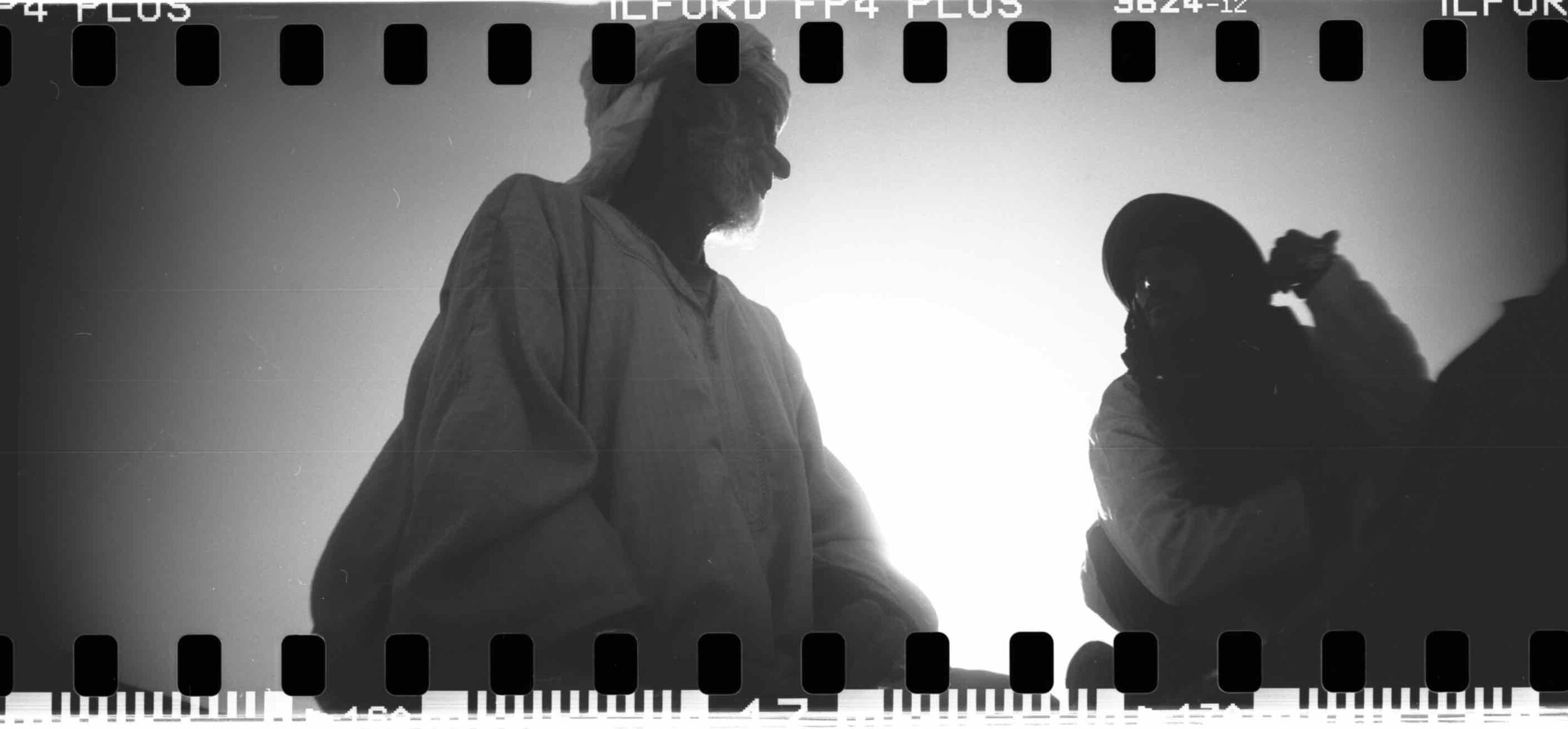
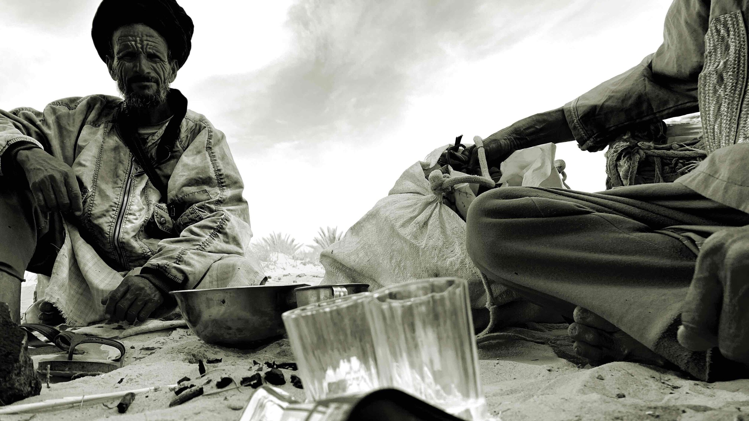
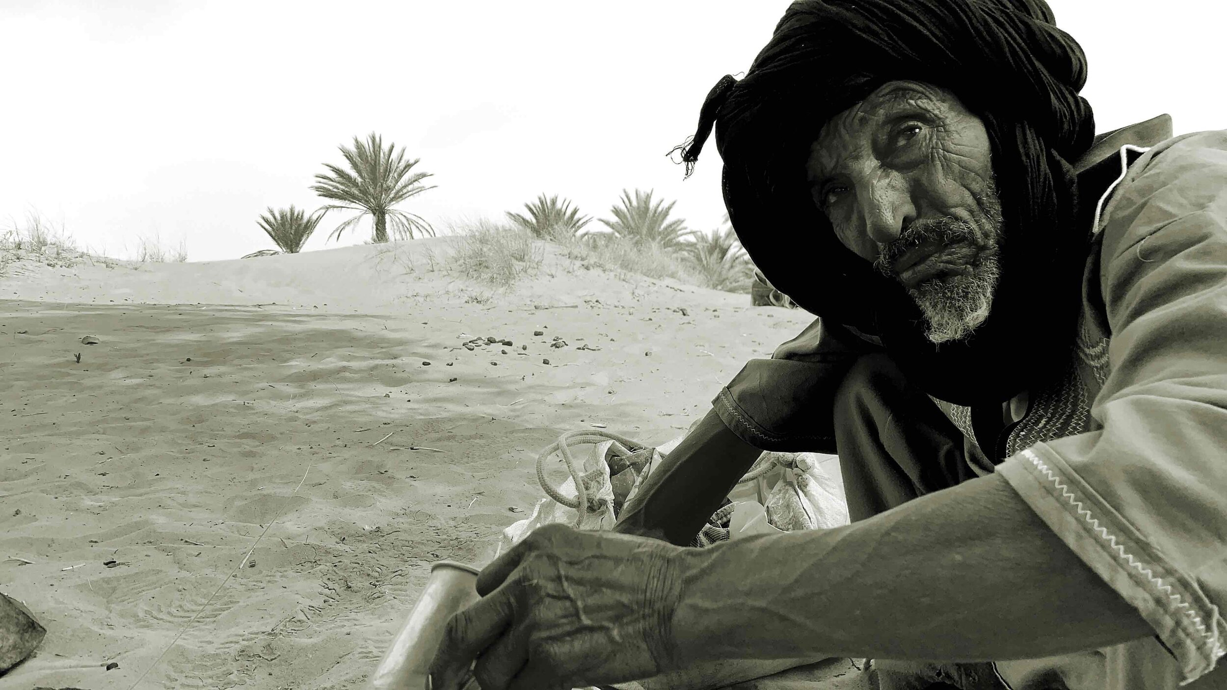
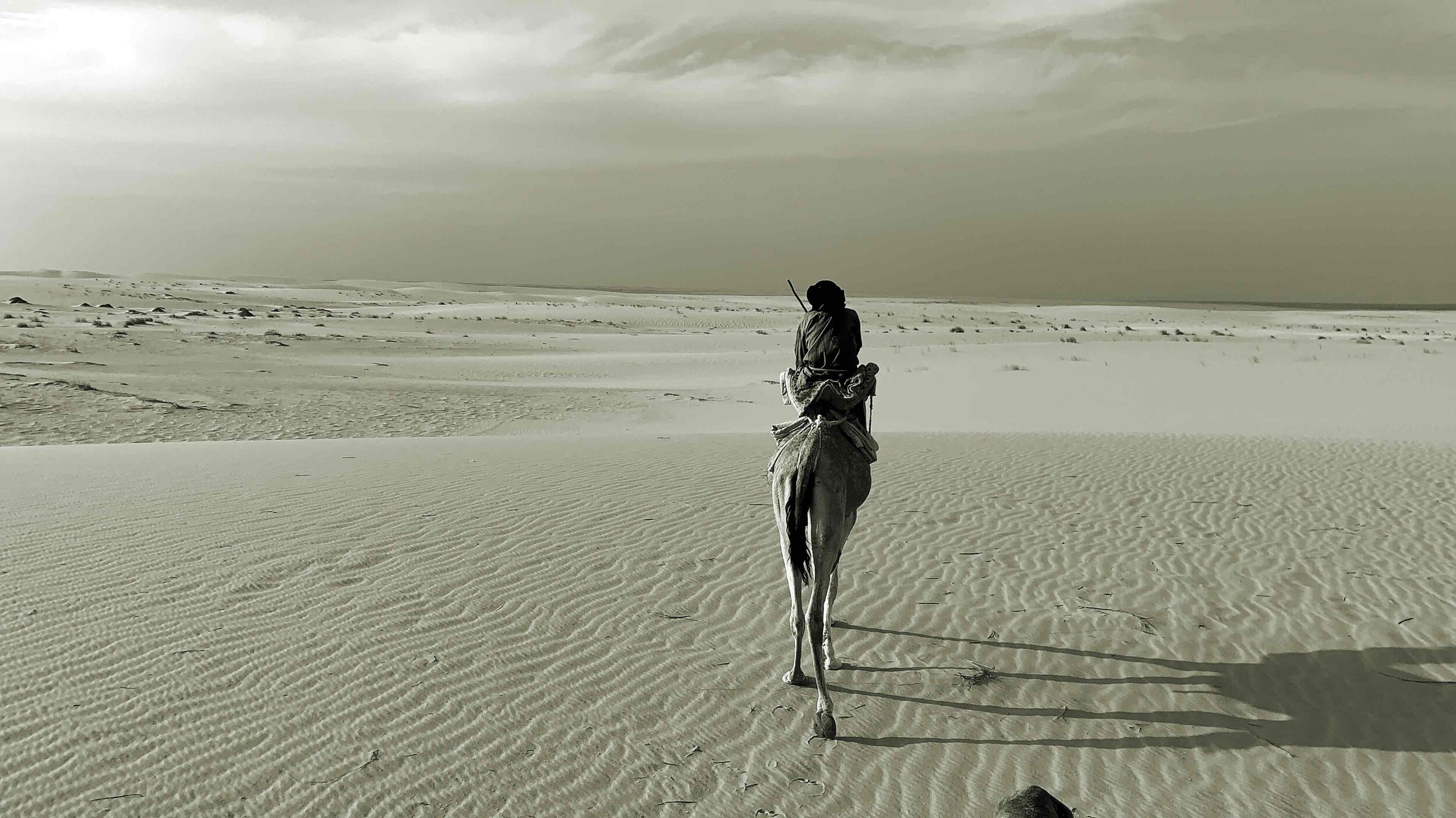
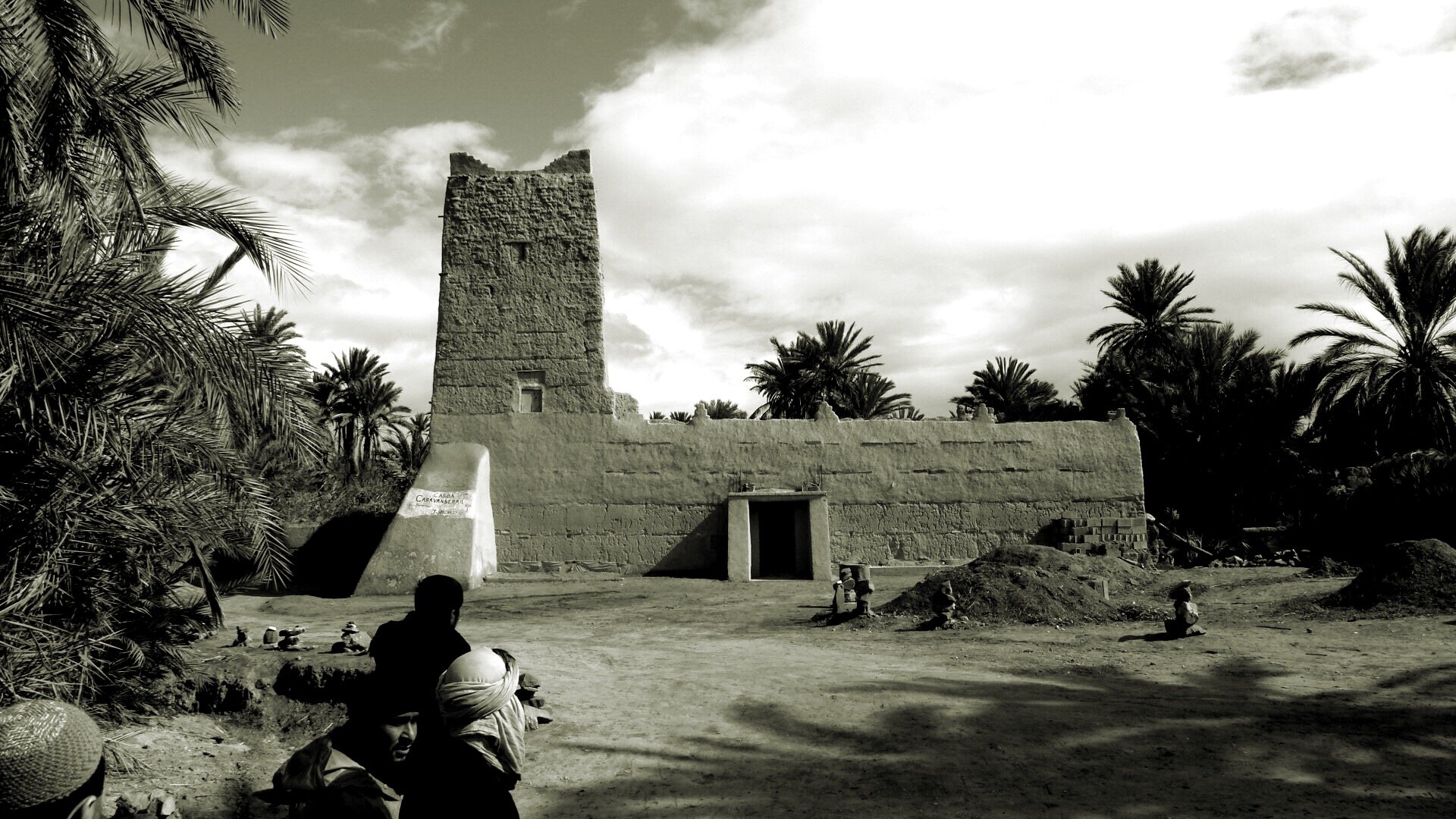
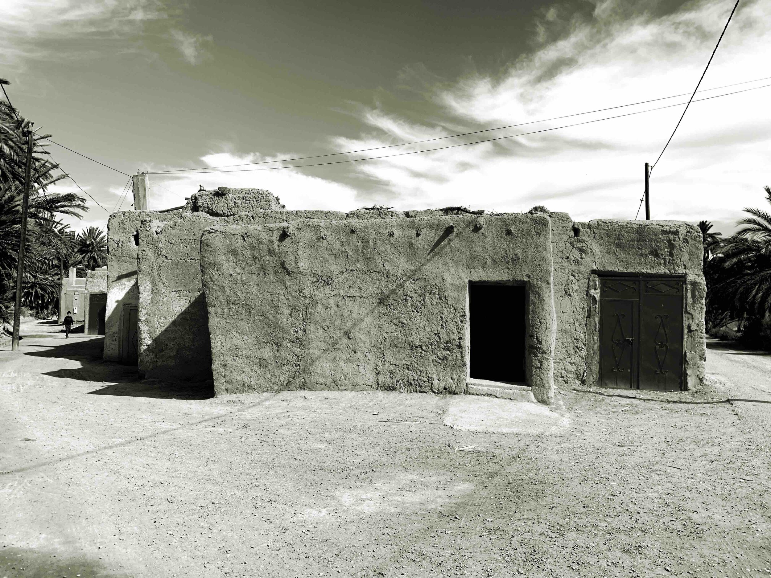
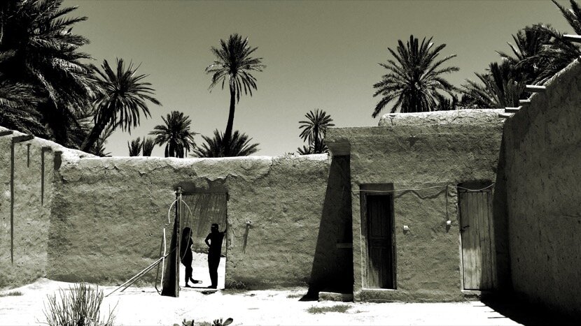
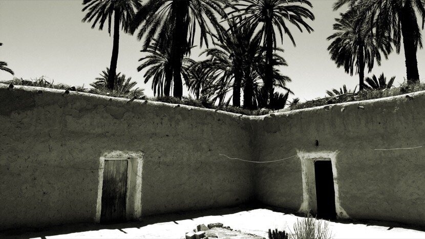
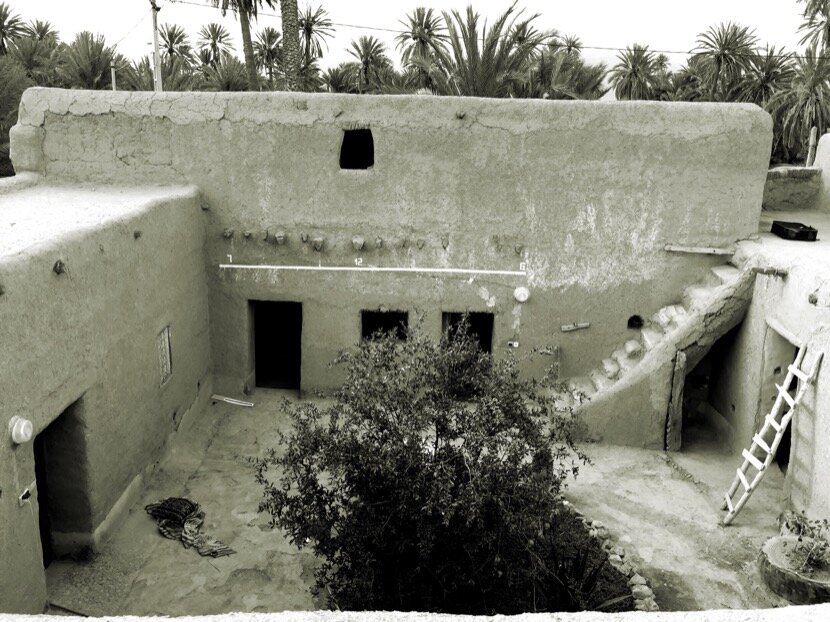
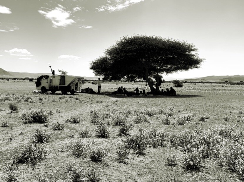
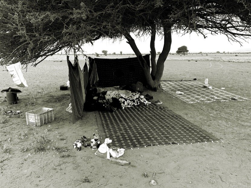
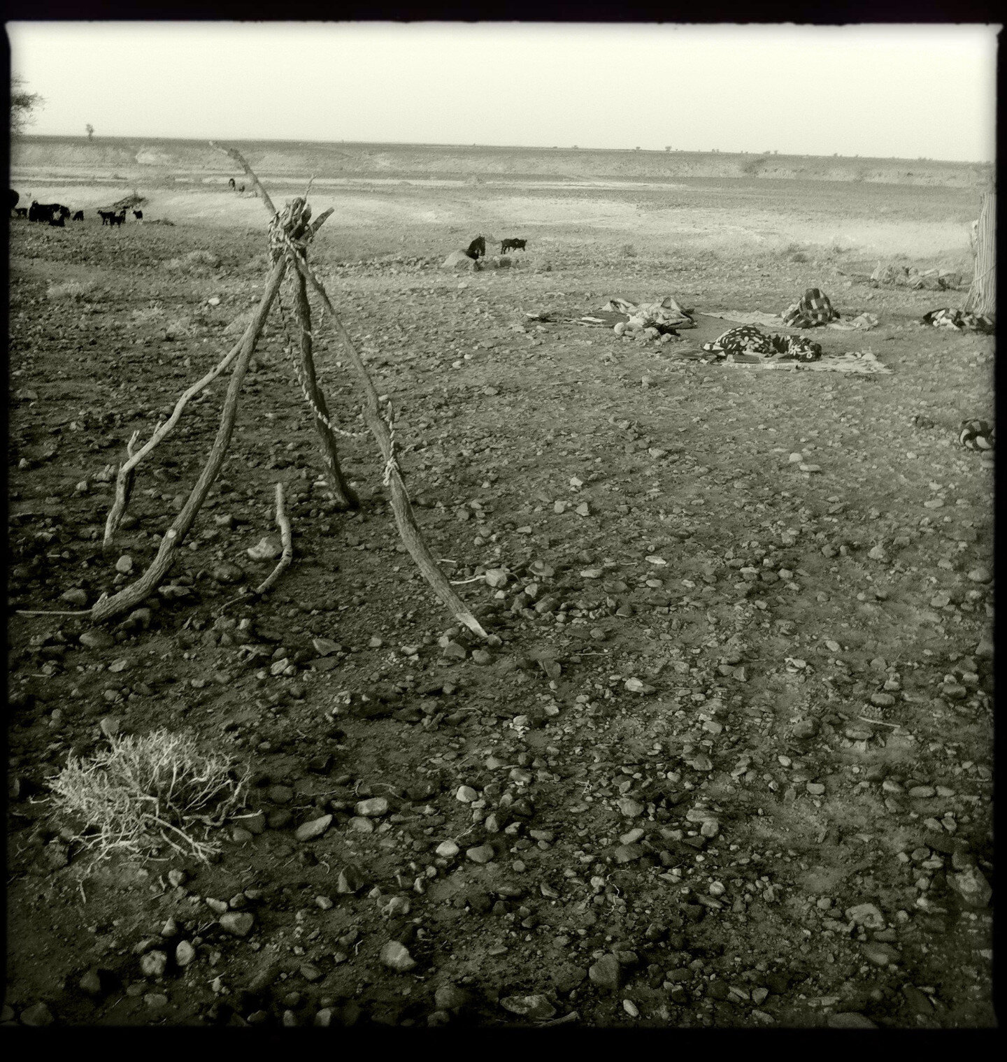
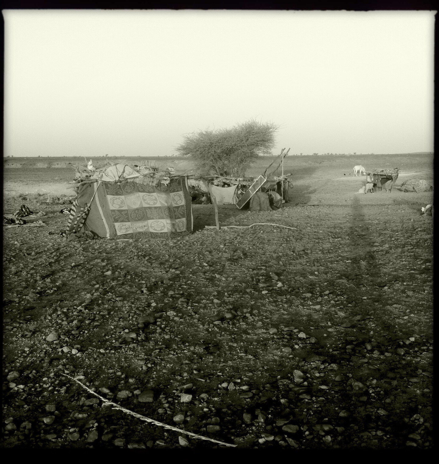
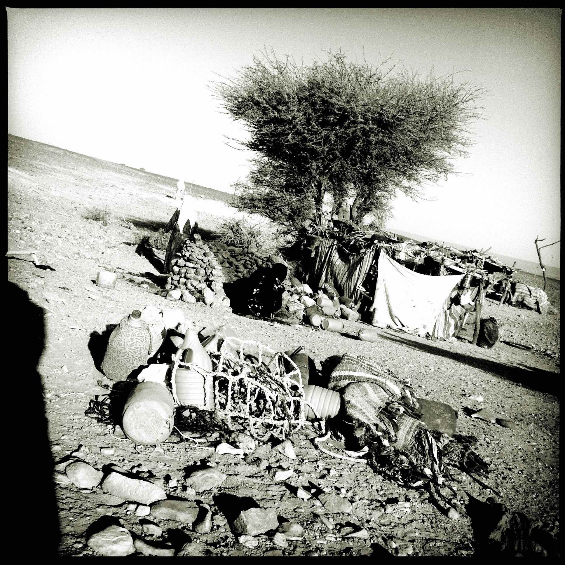
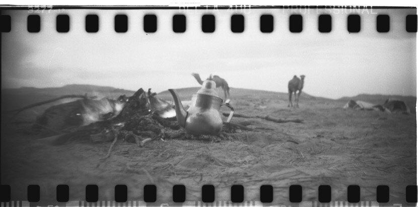
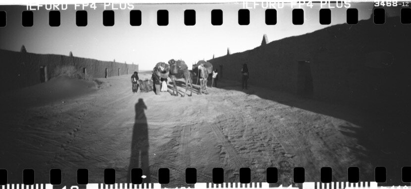
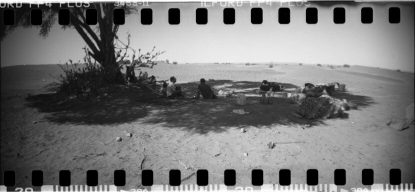
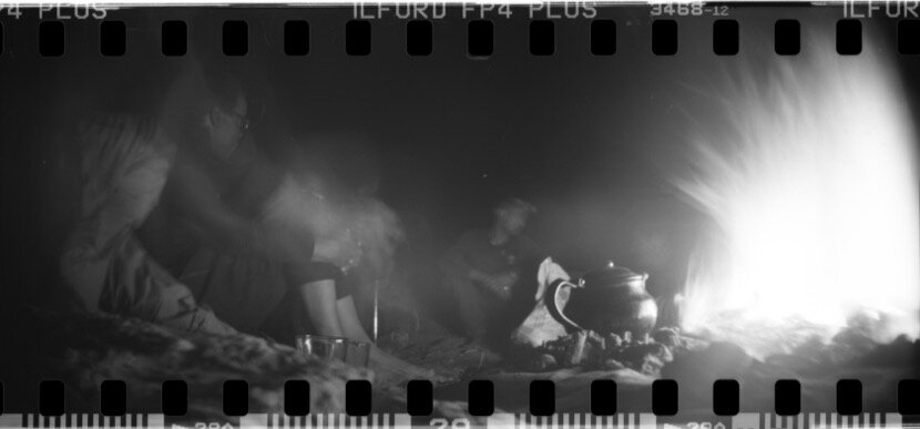
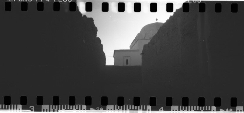
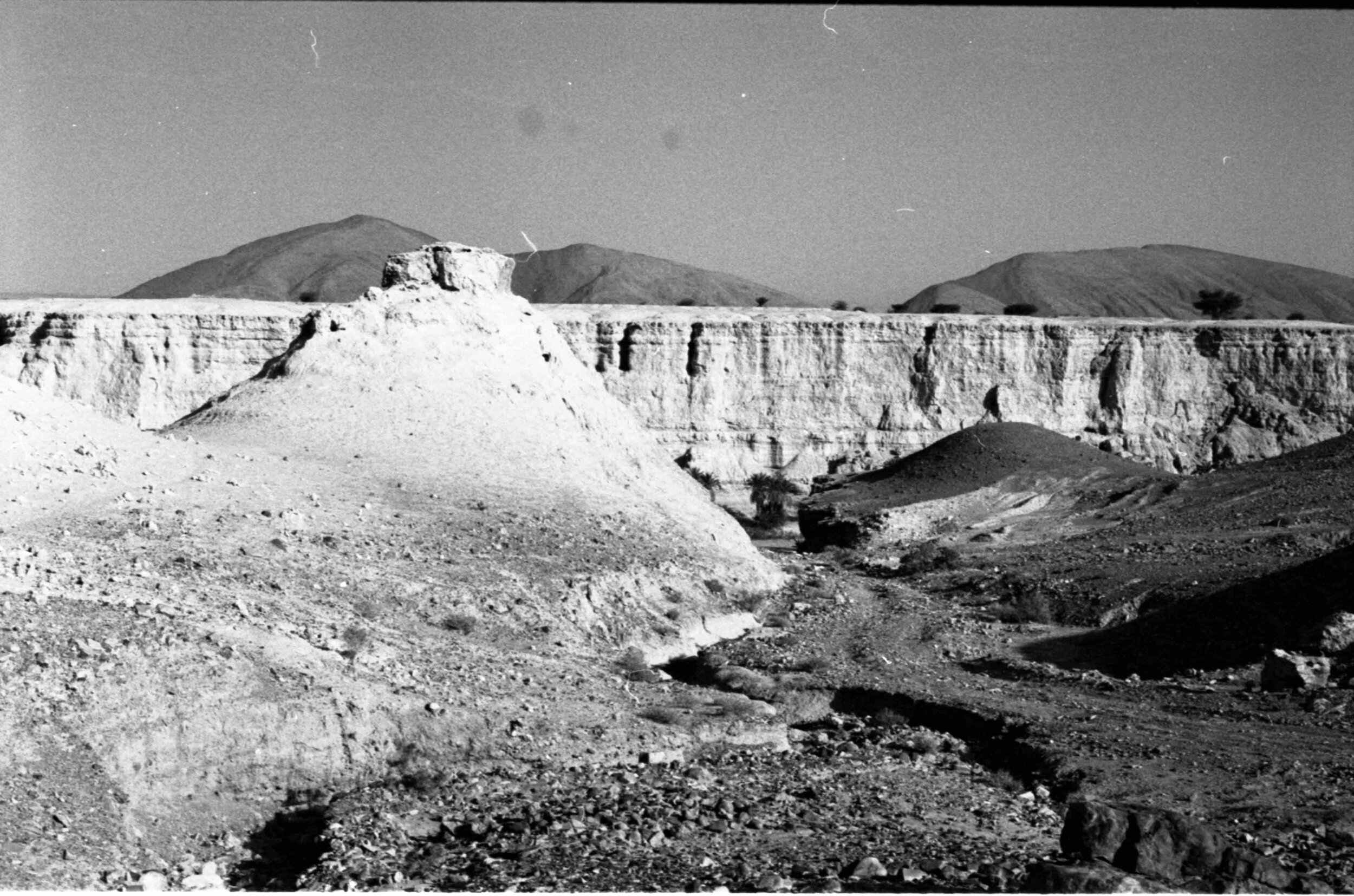
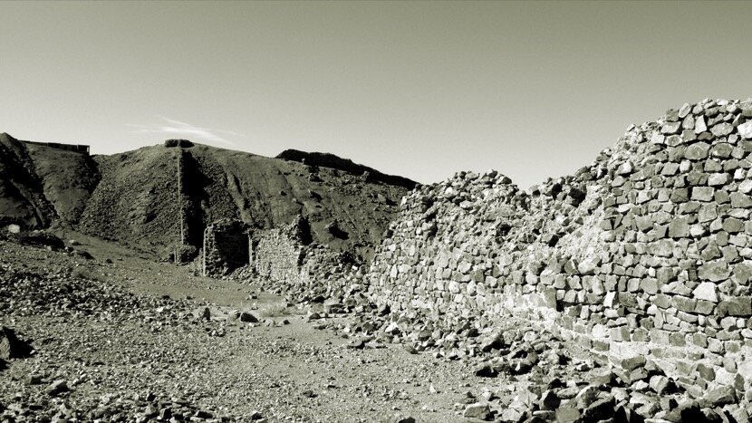
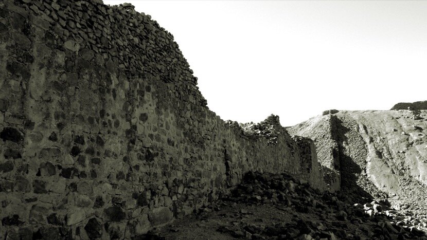
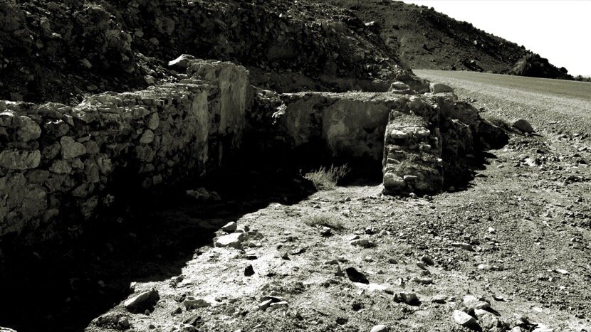
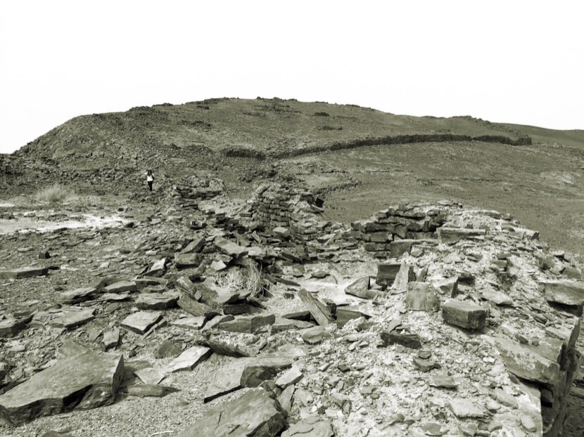
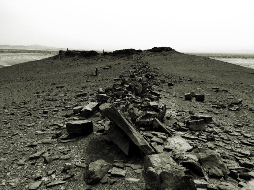
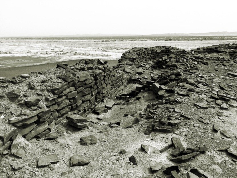
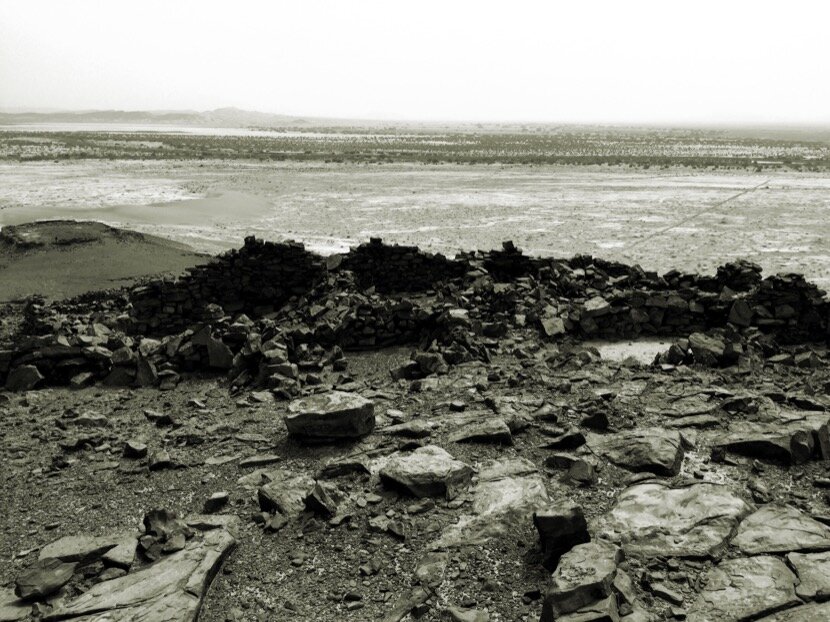
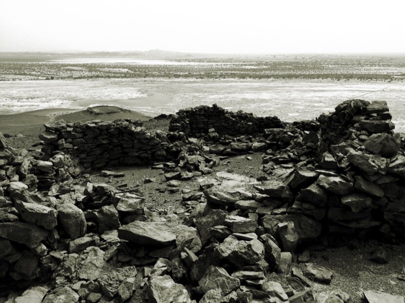
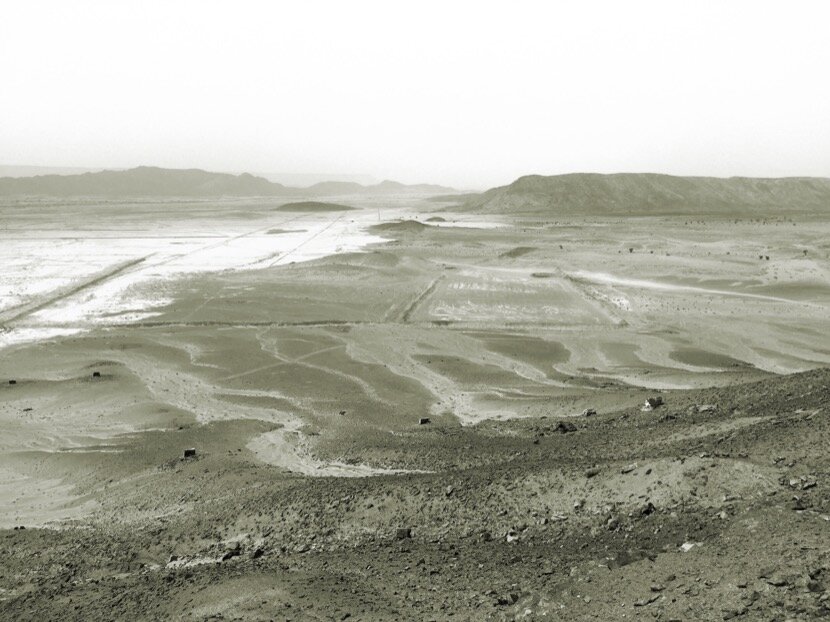
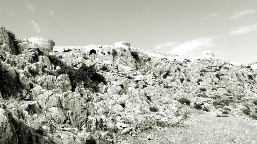
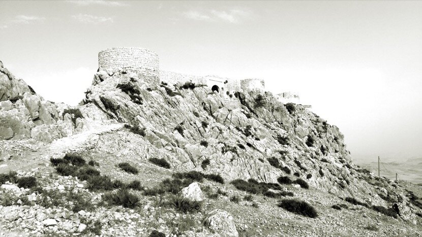
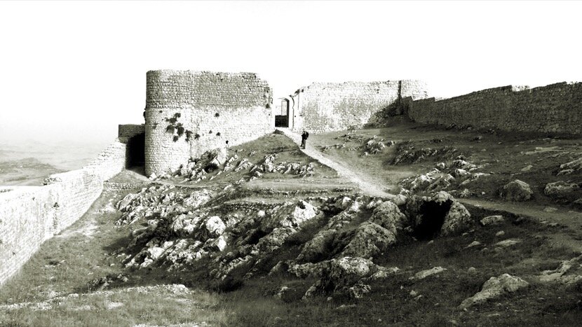
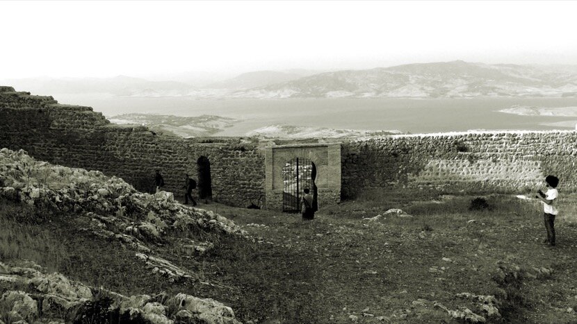
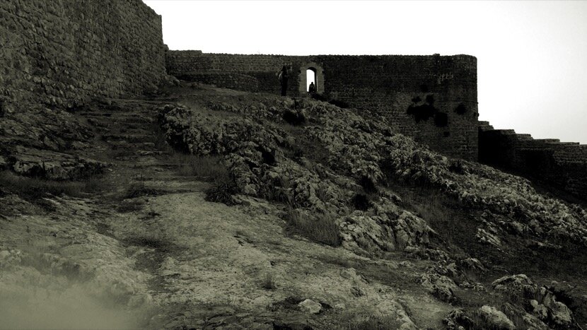
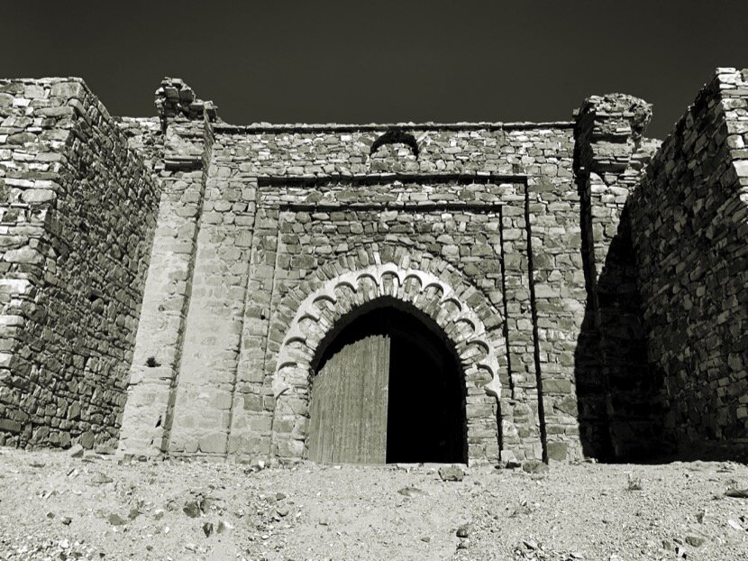
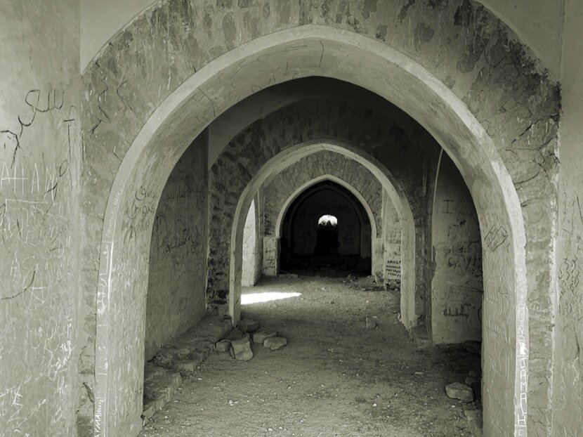
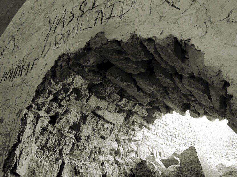
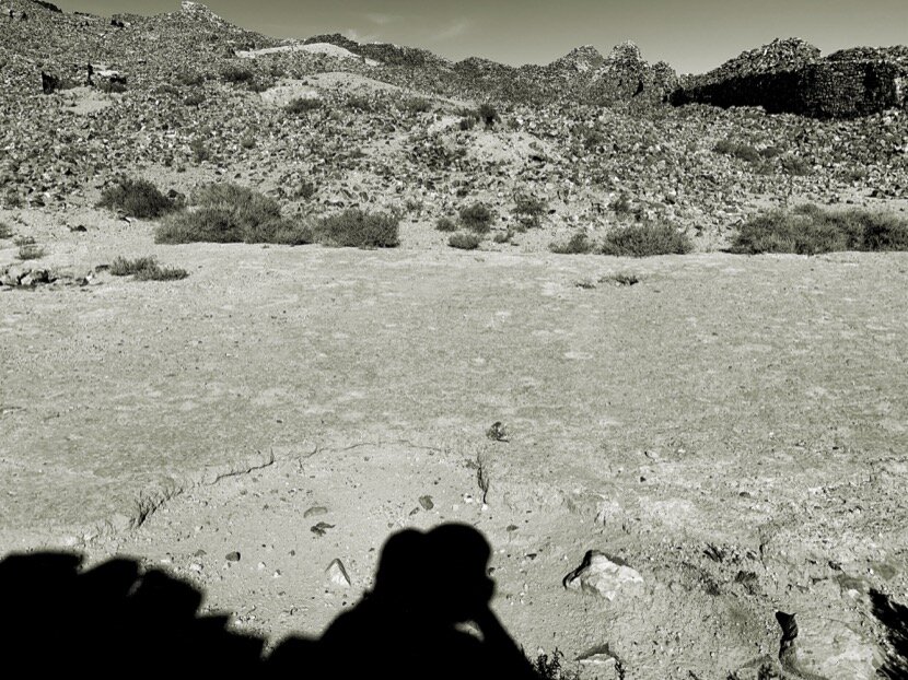
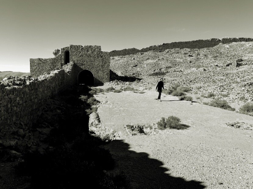
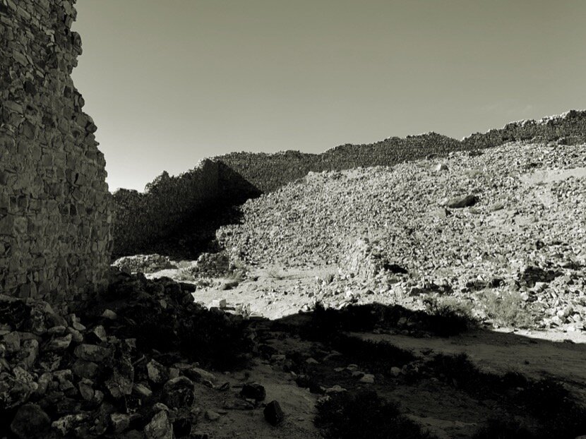
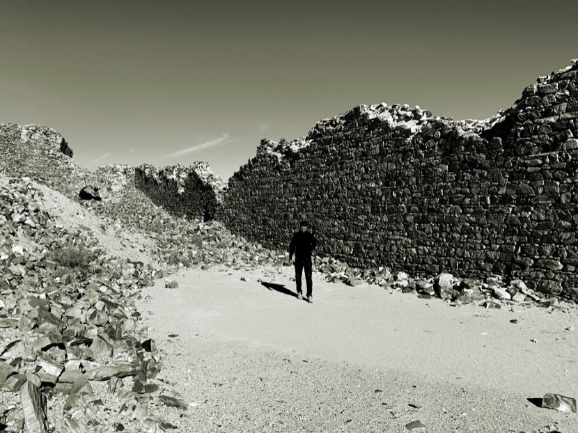
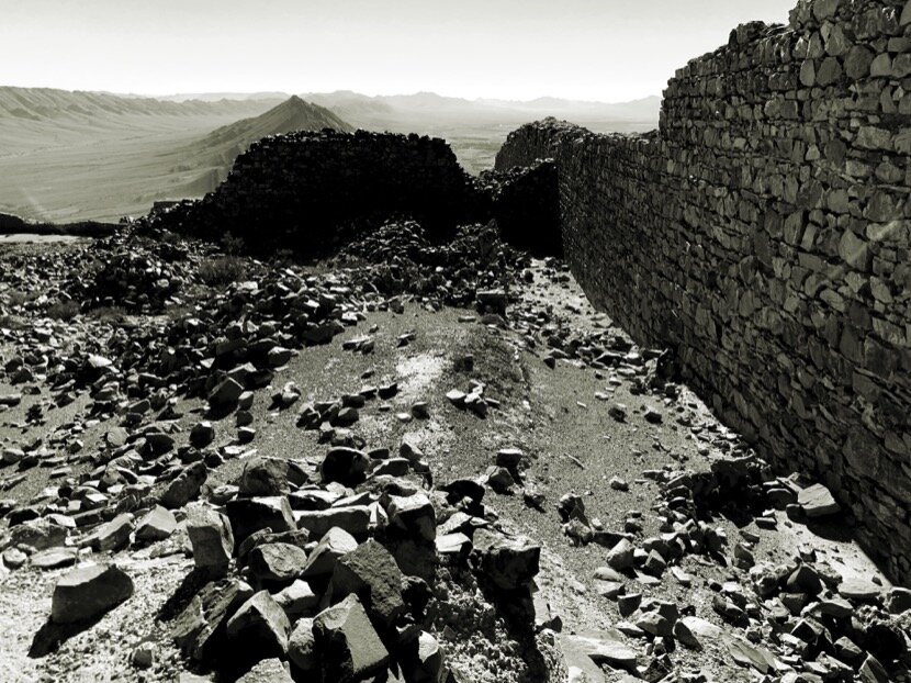
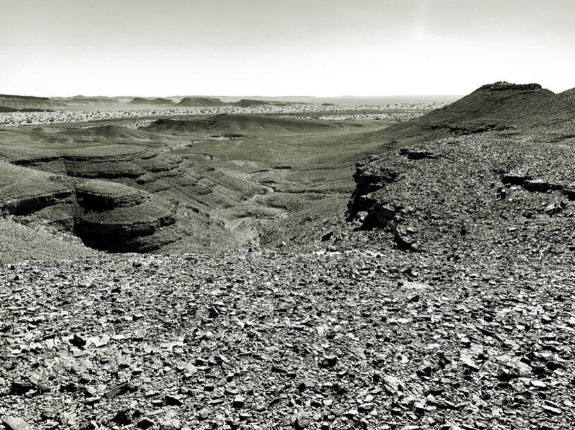
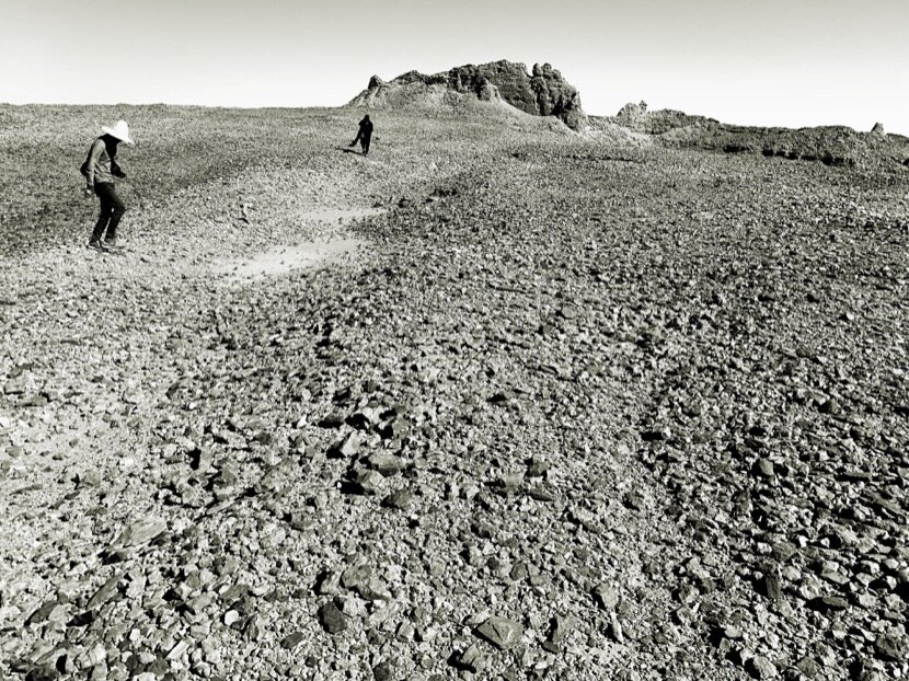
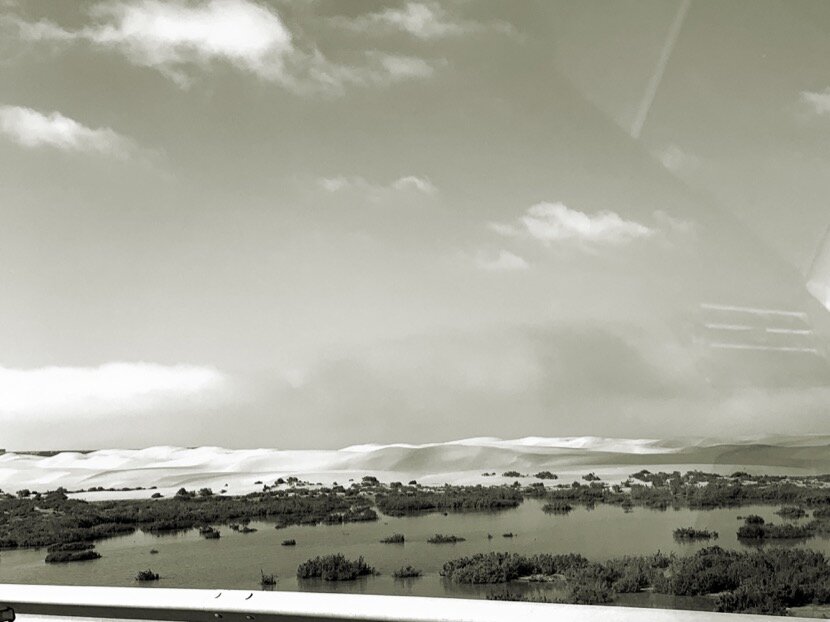
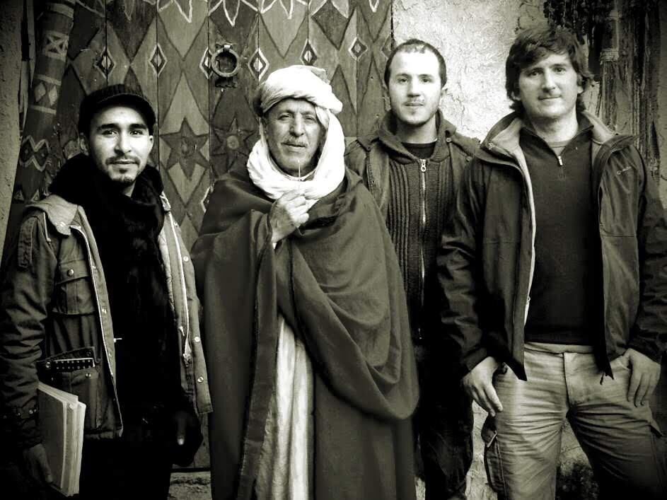
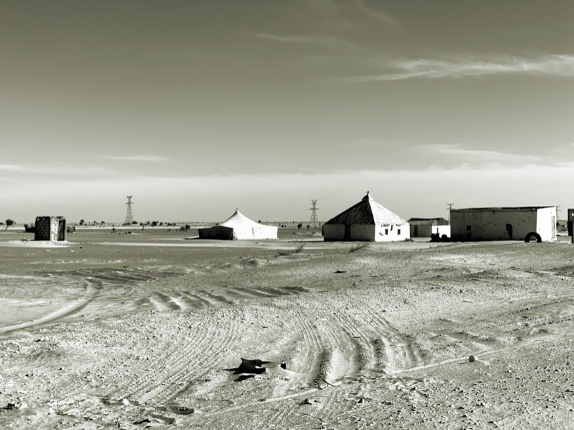
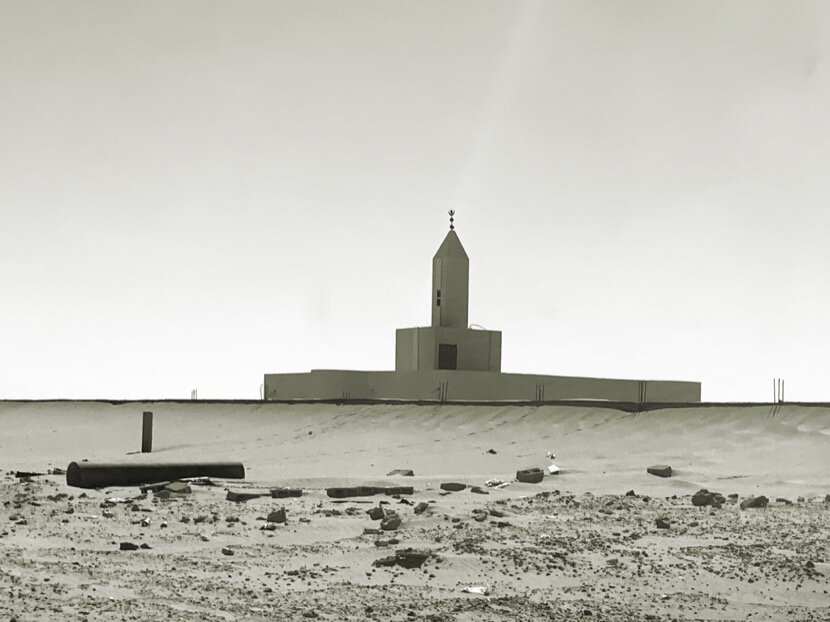
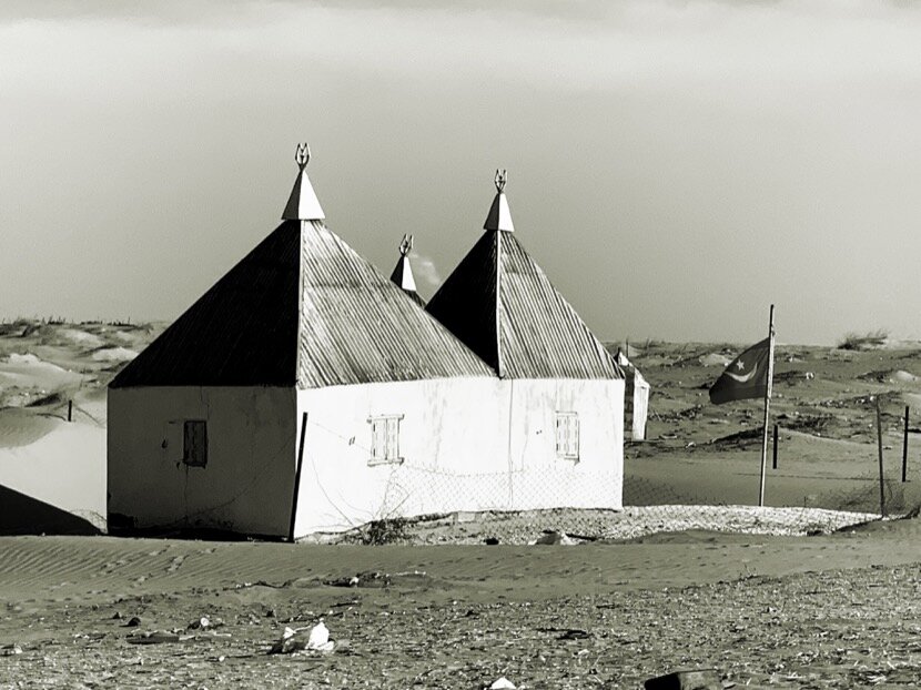
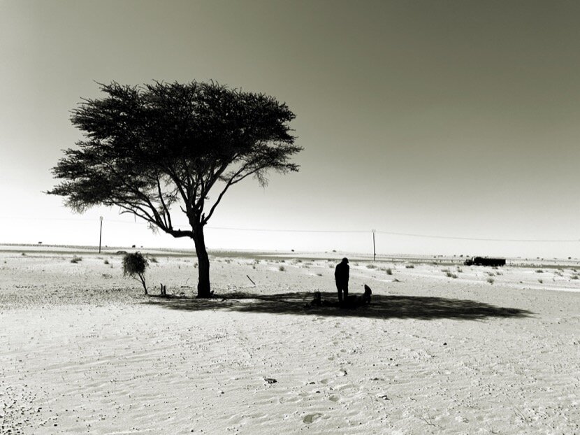
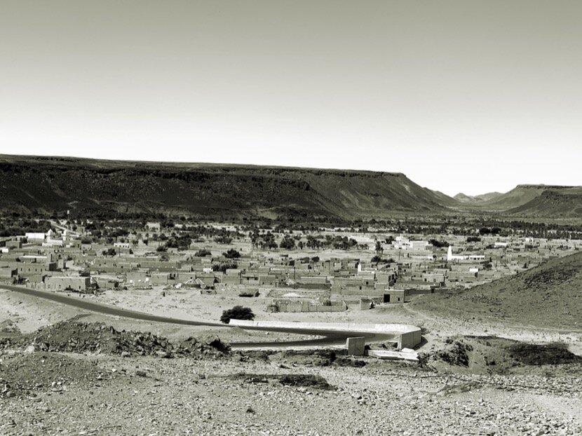
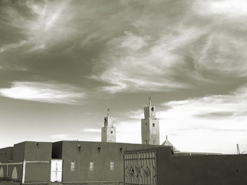
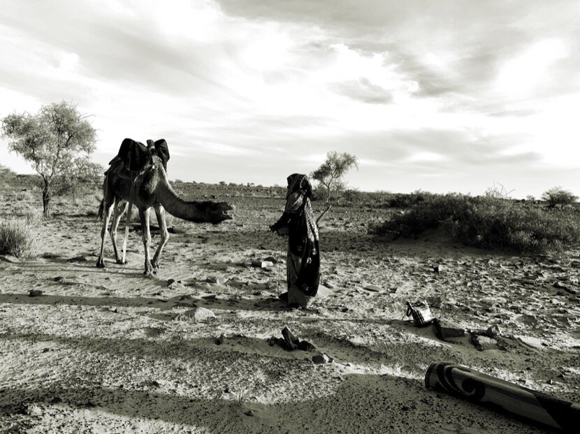
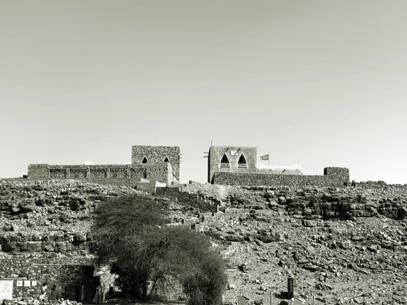
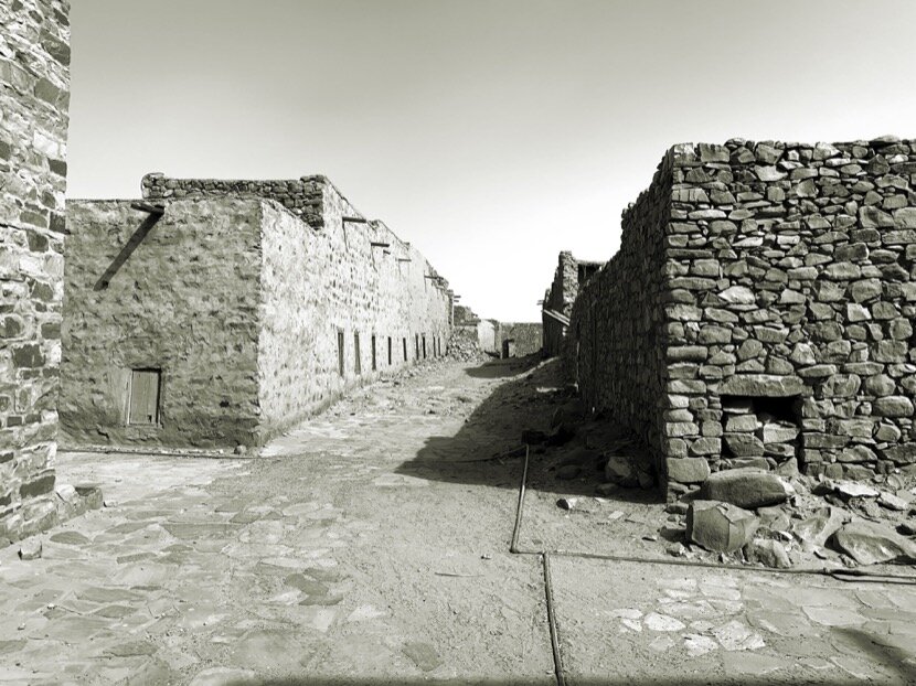
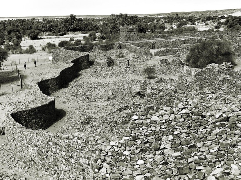
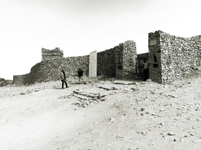
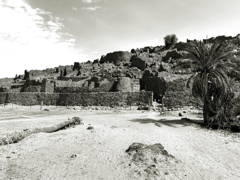
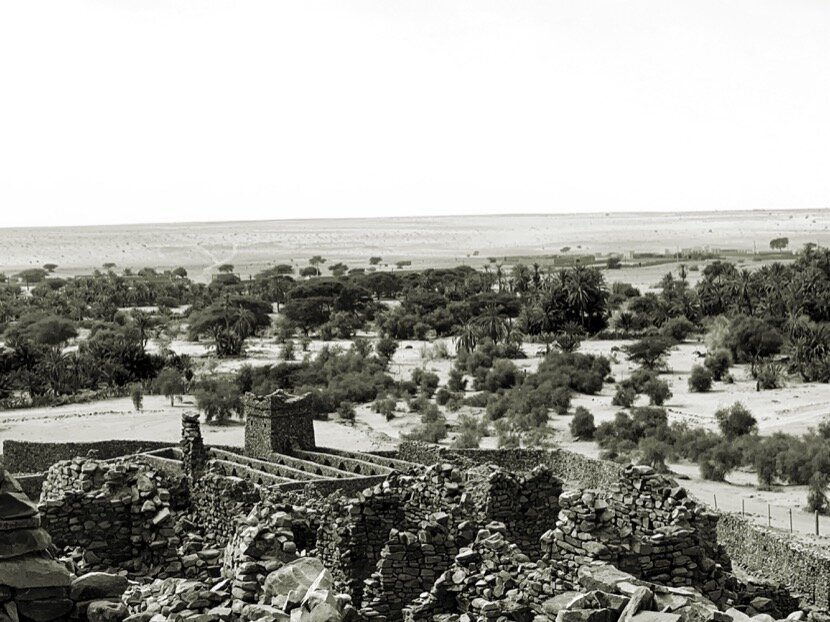
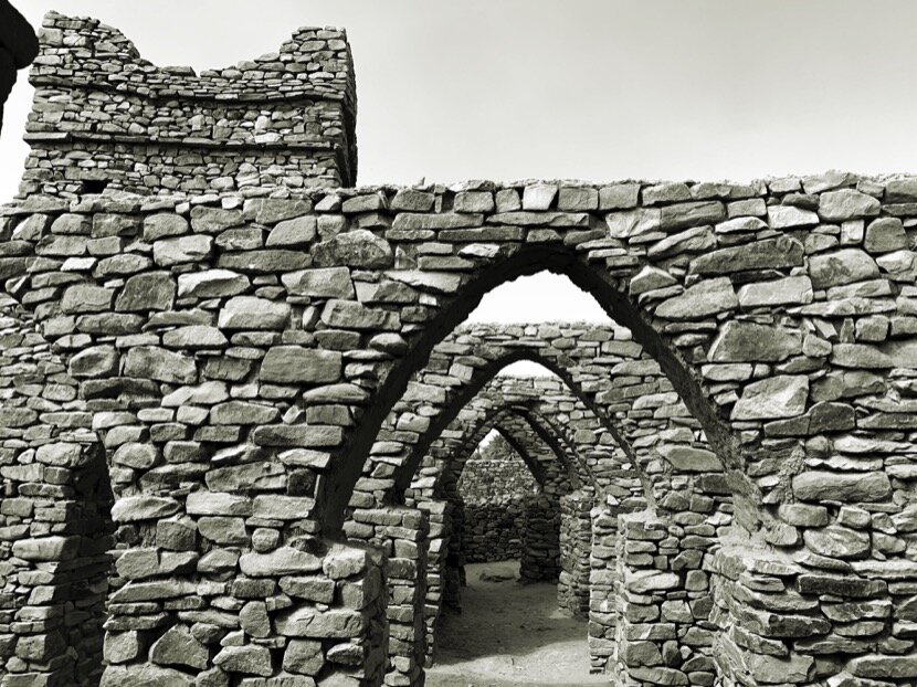
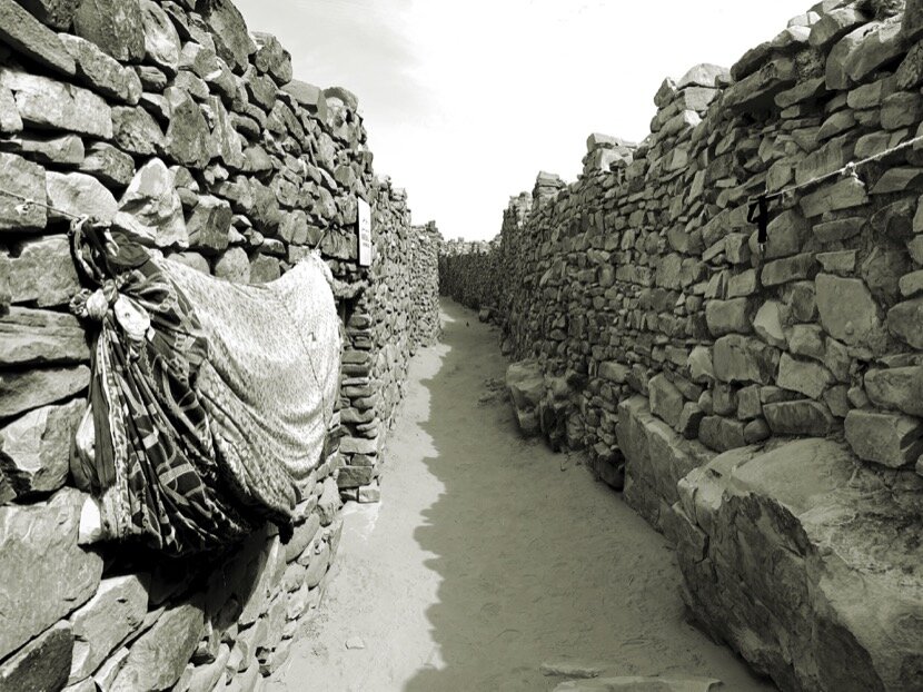
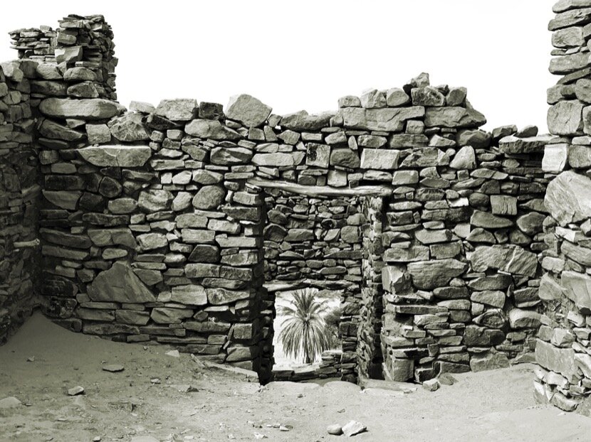
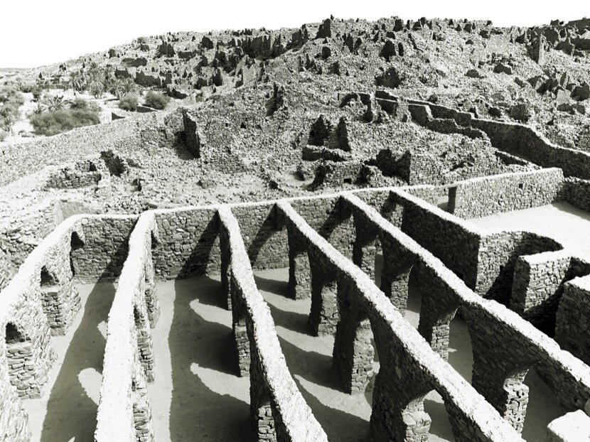
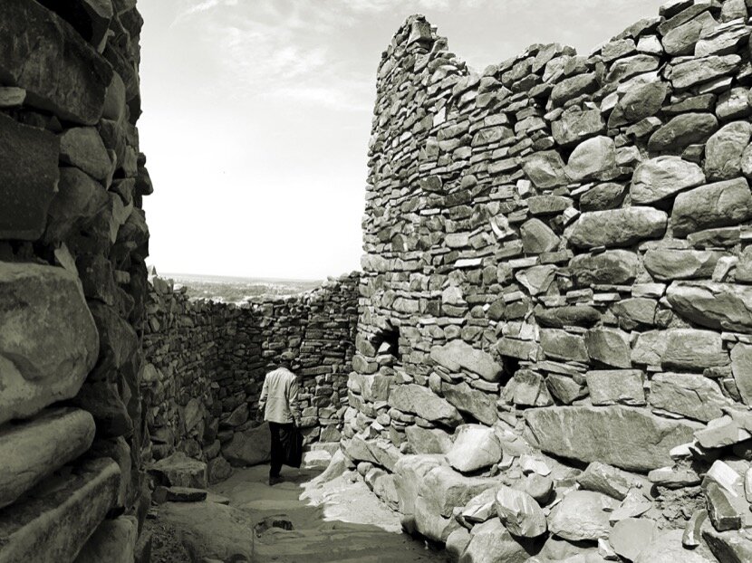
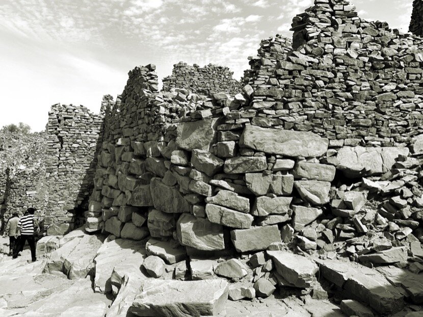
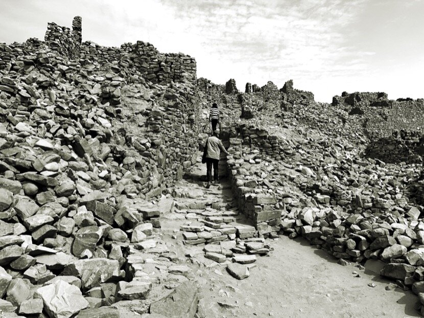
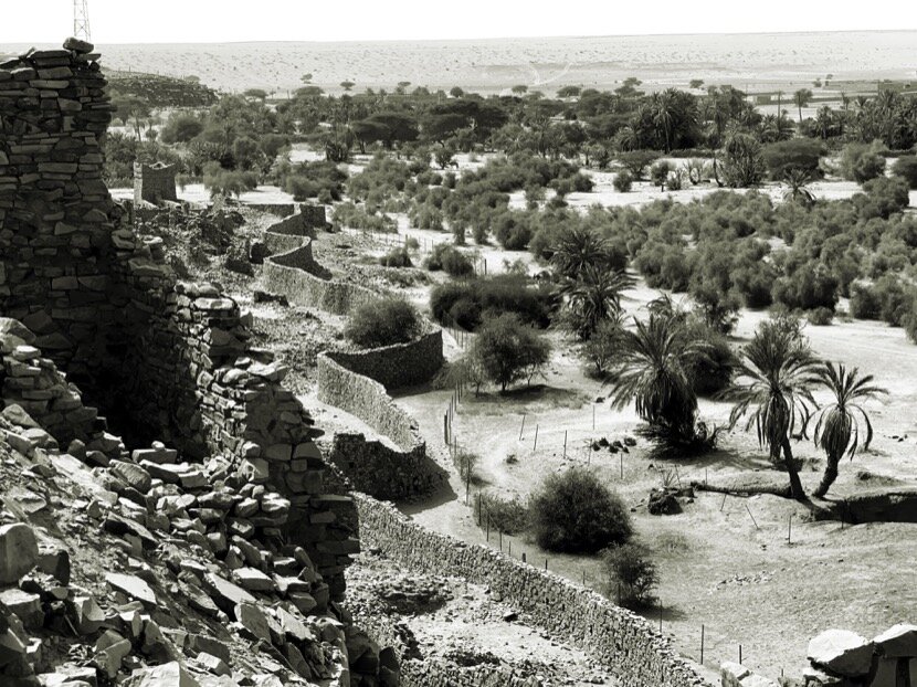
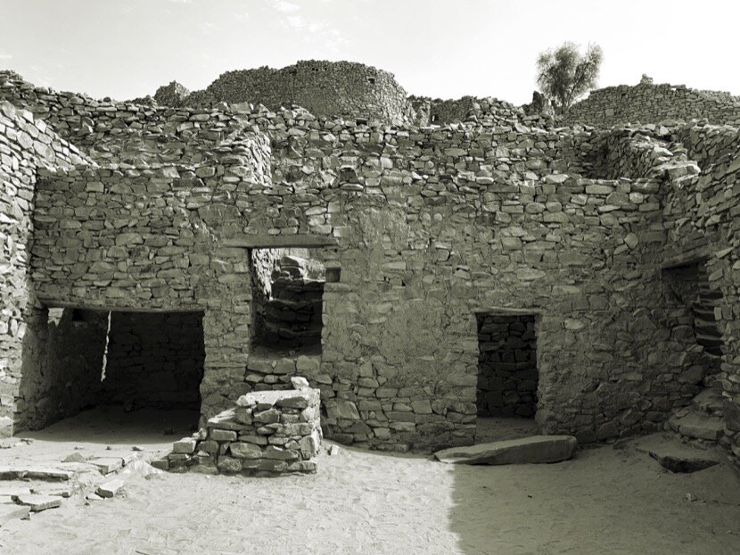
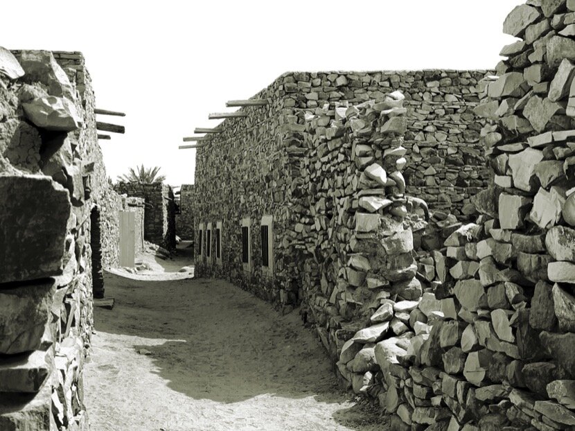
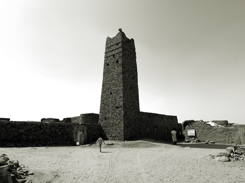
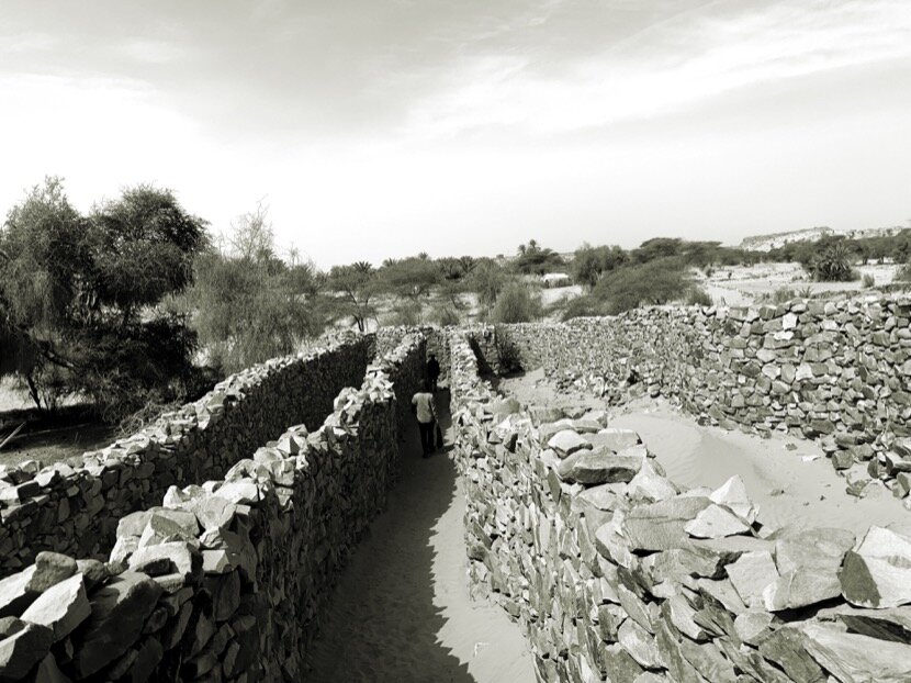
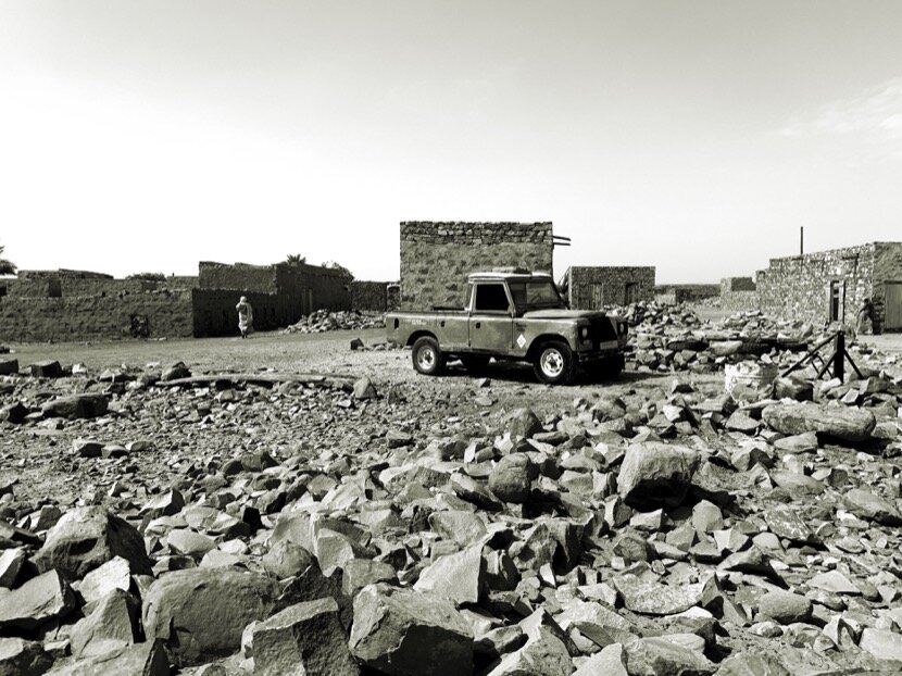
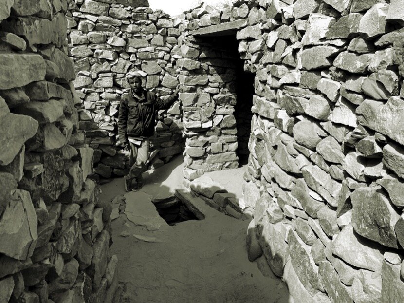
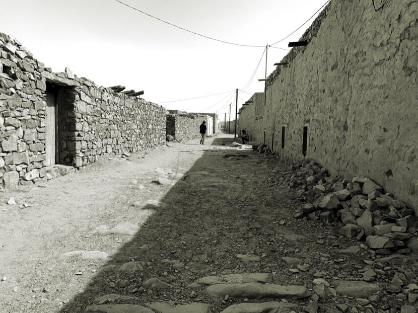
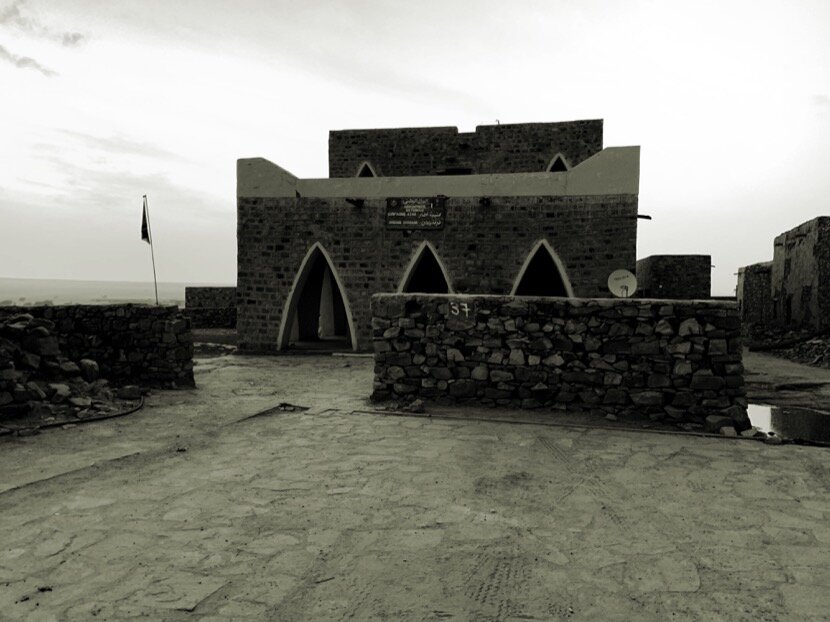
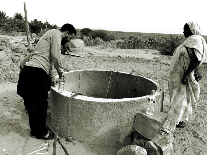
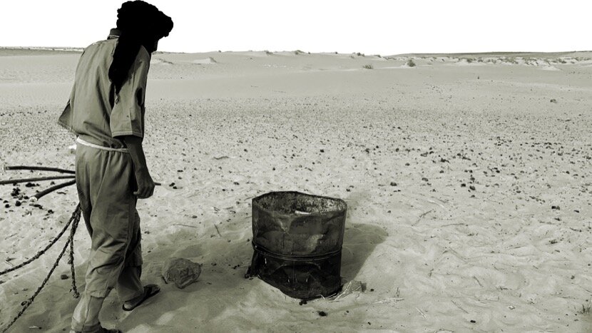
After three days in the capital, it was time to go to the Adrar region and although Isabel had made us change our plan (spend more time in Ouadane), we still maintained the idea of staying at least one night in Chinguetti, but once we arrived in Ouadane, from the first conversations with Zaida Bilal we knew that we were going to stay there all the time. Only 3 or 4 tourists passed through the guesthouse during our stay, which allowed us to spend more time with Zaida, who in turn took the opportunity to calmly tell us her own personal story and that of her city, explaining the current situation of tourism, nomadism, agriculture, water, traditional and contemporary architecture, heritage conservation (Ouadane is listed as a World Heritage Site by UNESCO)... She also told us how as a child she asked the few tourists who passed by for a pen or a candy, including to “famous” characters like Theodore Monod who used the city as a starting or finishing point for his expeditions in this part of the desert. She had met Théodore Monod! One of the people who, through his writings, interviews and his documentaries, encouraged me, indirectly, to come to Mauritania. At the end of our stay Zaida told us that since our arrival she had also realised that we were not tourists. Normally 80% of his clients only stay in Ouadane one night and only the researchers stay 2 or 3 nights, but nobody usually stays 4 nights like us...
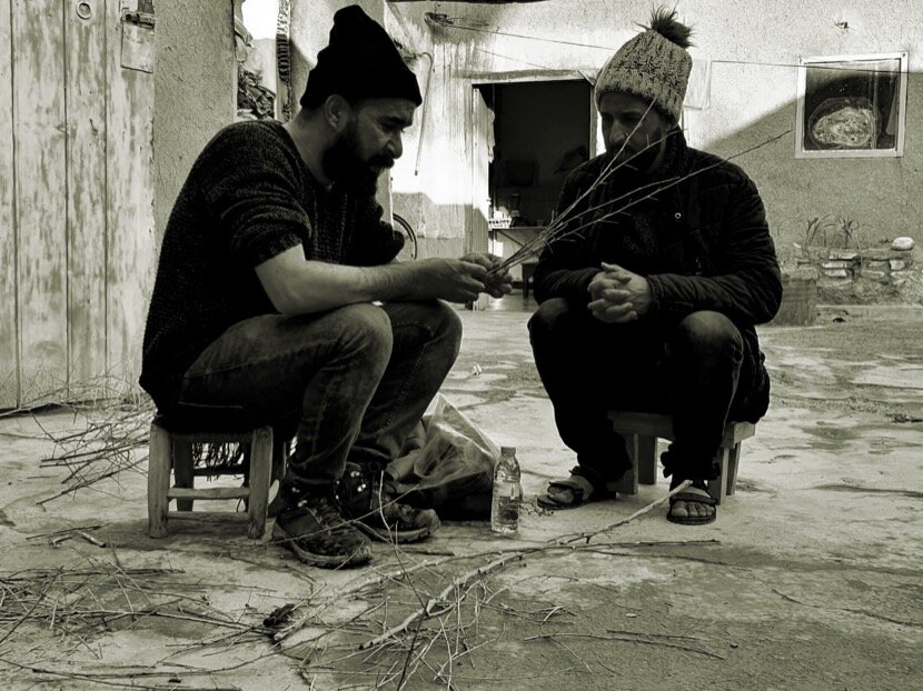
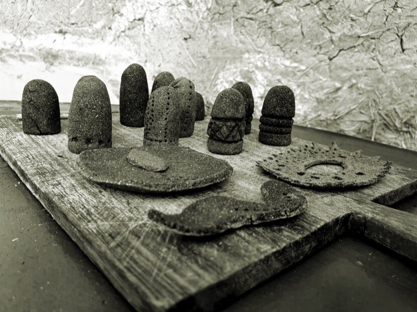
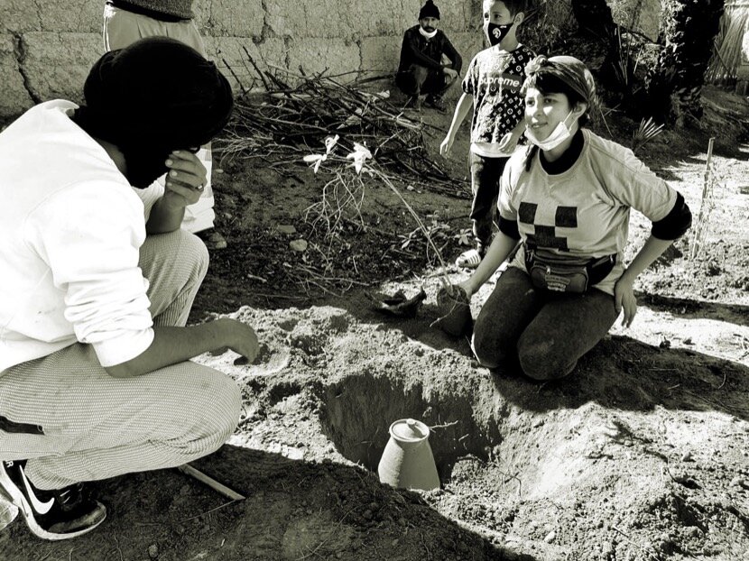
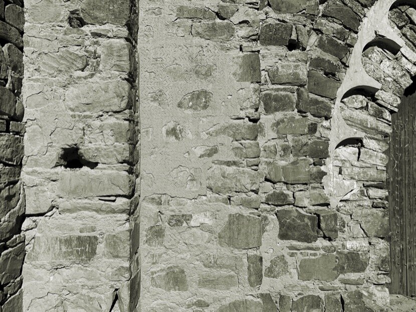
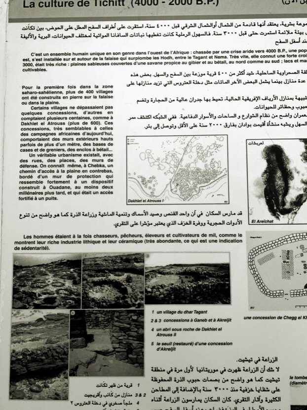
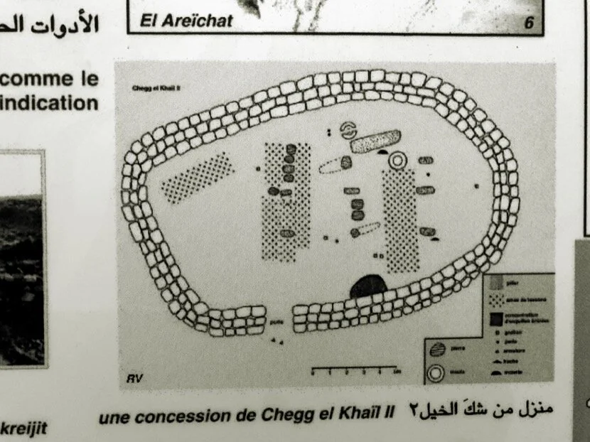
I must remember that one of the objectives of this trip was to explore the traces that caravans (and nomads) had been able to leave in Noul Lamta and in the Adrar, in this sense it was a real pleasure to attend the conversations between Ahmed and Zaida comparing the different irrigation techniques; the types of plants and trees that each one planted in their palm groves; the stone construction systems of Ouadane and that of the Almoravid fortifications; similarities that were more than logical when I found articles on my return to Ceuta about the Bafour tribe, considered the oldest in Mauritania (the same is said of the Draoui of the Drâa valley, except that the latter still live there) established in the Adrar region, at least, since ancient times. According to this article, this tribe could be Jewish and also have been in Noul Lamta. It is said that the first Jewish tribes arrived in Morocco in the 5th century BC, precisely at Noul Lamta, where there is still a synagogue (built a few centuries ago) and a ruined mellah in the oasis of Ifrane Atlas Saghir. According to these researchers, the Bafour were sedentary and would be responsible for the creation of the oases in the Adrar (and perhaps also in Noul Lamta) and the construction of buildings, but more excavations would be necessary to advance the knowledge of the Adrar, since there is no certainty about the date of the foundation of Ouadane, at least of the city that has survived to this day. Some say that it is after the Almoravid dynasty, 1147, the same year of the taking of Marrakech by the Almohads, but a dynasty does not disappear overnight, especially if the capital was 1.300 km away and the Almohads were more concerned with controlling the territories north of Marrakech and the Iberian Peninsula, and not so much of the Sahara.


On the last day in Ouadane, with Ahmed and Younès, we raised the possibility of organising something in the future (perhaps I was just looking for an excuse to return) given not only the historical similarities or parallels with Tighmert, but the contacts we had made: Isabel, Mohamed Ali and Zaida. We could say that Zaida is the Ahmed Dabah of Ouadane; He fought to change his destiny, to develop his own business, to improve the living conditions of her neighbors with social and tourist projects, in short, a person with whom it is a delight to think and work to publicise the culture and heritage of his city. The same could be said of Isabel, who for years has accompanied Nouakchott artists and designers in an attempt to develop an artistic and creative scene in the country. And Mohamed Ali, an activist who uses culture to call for the actual and real abolition of slavery in Mauritania. We were aware that without having met these three people, we would never have thought of organising a cultural event in Ouadane because such a project had to be built with the locals and not just for them, as we did in Tighmert and Moulay Bouchta.

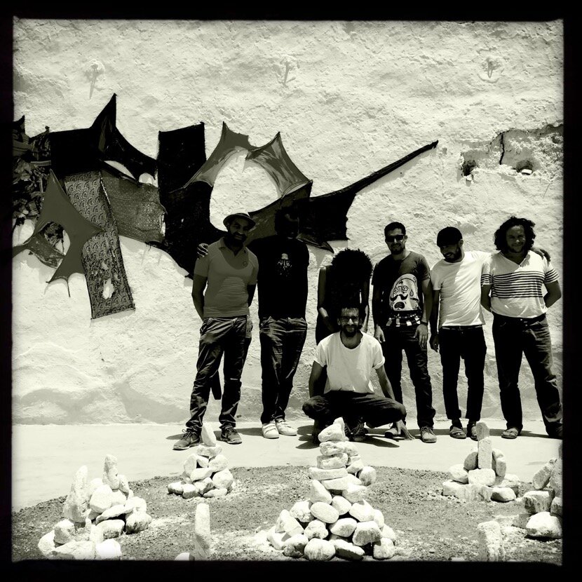
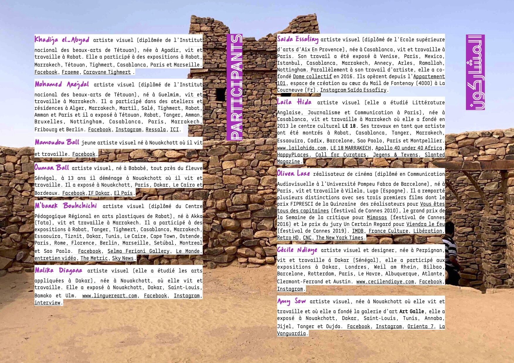
But what kind of event could be proposed in Ouadane? The first idea was Caravane Tighmert in Ouadane, but it meant importing directly what we were already doing in Morocco and we did not want to do like the majority of Europeans who try to implement cultural projects by imposing their vision of cultural industry. We had to create something specific, adapting to the cultural reality of Ouadane, Mauritania and the desert, hence the idea of Caravane Ouadane. However, we also could not deny our experience in Tighmert and Moulay Bouchta al-Hammar (Zakhra), where over the years we have tried various activities and initiatives to develop contemporary culture in remote regions. Then there are the cultural similarities between Tighmert and Ouadane, which would be of great help when offering the participation of Mauritanian and Moroccan artists in these types of projects where we use contemporary culture to discover and deepen traditional culture. That is why it was important to have artists who already knew the city, such as Malika Diagana and Cécile Ndiaye, or who work on issues directly related to this region, such as M'barek Bouhchichi who, in addition to trying to give visibility to people of color in Morocco (considered in the north as sub-Saharan or as descendants of slaves), his tribe Aït Oumribt, is originally from the Adrar. There is also Laila Hida, whose family comes from the Ksar Zenega de Figuig (Zenaga or Sanhadja is one of the founding tribes of the Almoravids) and who wants to continue her research on the impacts of tourism on the tangible or intangible heritage of a place after her experience for years in Marrakech, the tourist capital of Morocco.
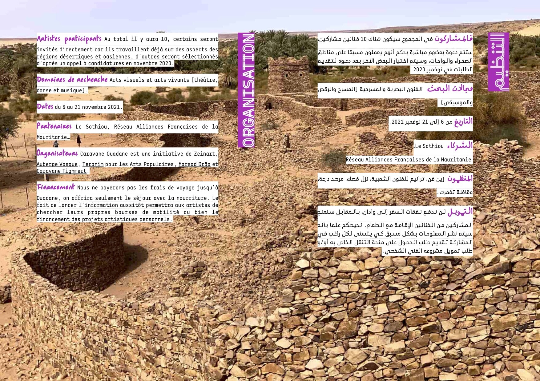
From a personal point of view, Caravane Ouadane will allow me to continue the research associated with caravan routes (Qafila Khamisa will take place in Mauritania just before the event); nomadism, geography, architecture, history, geology... topics that I am used to deal with in Morocco and that I consider essential to understand a place and its connections. I am also convinced that new clues will appear as I immerse myself in the Mauritanian desert knowing that this will take me further south, at least, to Senegal since Mali, due to its political situation, will be impossible to visit in the near future.
9. shawati
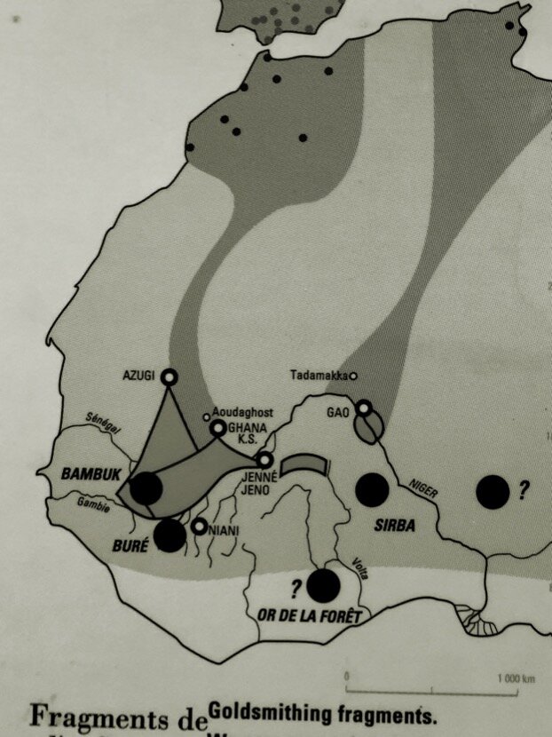
In the same way that it is important to study a place and the region with which it interacts, it will be necessary to apply the same principle in my city, Ceuta, in relation to the Strait of Gibraltar. Even if with my friends archaeologists, historians and architects we are more or less aware of the evolutions of discoveries related to heritage, it would be interesting to have a transdisciplinary approach, like the one we have in the desert. In fact, it will be necessary to treat the strait not as a barrier that separates two territories but as a space for communication and diversity, the same role that the Sahara has between the Sahel and the Maghreb. For this we are working on a cultural project, Shawati, with some cultural structures from Tangier (Mahal Art Space, Youmein Festival, Think Tanger), Gibraltar (Kitchen Studios) and Algeciras (Materia, Alcultura), which we hope to launch as soon as borders are reopened. From that moment on the Almoravids will continue to be the link between the strait, Marrakech, Noul Lamta, Adrar and perhaps one day Koumbi Saleh (capital of the Ghana empire that included part of Mali and Mauritania).
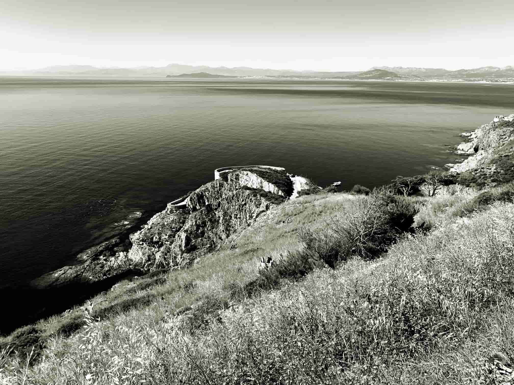
strait of Gibraltar
10. epilogue
The connections between Ceuta and Ouadane could be framed in a purely historical context, but I think it is rather the opposite, since most of the initiatives shown here are related to contemporaneity. Furthermore, the concept of heritage changes radically from the moment it still maintains its original use, which prevents it from being reduced to a museum object or subject. In addition, if the different techniques (architectural, hydraulic, agronomic, etc.) are still used, we could classify them as contemporary and they will facilitate the understanding of the heritage that has already lost its function, on the other hand, if traditional culture helps to preserve memory of the tribes, tribes could also serve as the basis of contemporary culture, as we have seen with Caravane Tighmert and, hopefully, with Caravane Ouadane. But there is another determining factor to advance in this "investigation" and that is common to all the places mentioned, the human factor. All these trips would not have been possible without the friends with whom we share concerns, interests, knowledge, questions, wishes, fears, problems... In fact, the value I give to the connections between Ceuta and Ouadane is precisely that of friendship, woven over the years and expanded as new regions and research areas emerged. For me it is clear, without friends I would never have been able to delve into all these issues, without friends I would never have set foot in southern Morocco or Mauritania...
Ceuta, October the 12th 2o21
images and texts © Carlos Pérez Marín